


Why visit Ewhurst
Townapedia lists 11 museums and landmarks, 13 parks and trails, 32 places to eat, 4 places to stay and 5 attractions in and around town.
Highlights include Cranleigh Arts Centre, Holmbury Hill, Abinger Common War Memorial and Holmbury Camp.
Weather in Ewhurst
Forecast from MET Norway (CC BY 4.0). Full forecast
About Ewhurst
Ewhurst is a rural village and civil parish in the borough of Waverley in Surrey, England. It is located 8.3 miles (13.4 km) south-east of Guildford, 2 miles (3.2 km) east of Cranleigh, and 4.5 miles (7.2 km) south of Shere.
From the Wikipedia article Ewhurst, Surrey (this version), under CC BY-SA 4.0.
Photos of Ewhurst


Things to do5



Museums and landmarks11

Abinger Common War Memorial
Monument and historic site · 3.6 mi
War memorial in Abinger, Mole Valley, Surrey, England, UK

ROMAN ROAD - Margary 151 - Rowhook to Farley Heath
Monument and historic site · 1.0 mi

Parks, trails and playgrounds13





1 more on the map.
Restaurants and cafes32
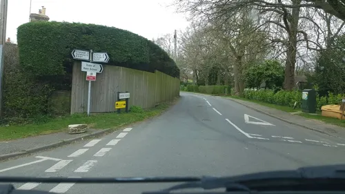
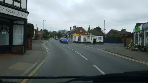
Moooh Ice Cream
Ice cream · 2.0 mi
Unit 1, Legion Court Ewhurst Road
Tu-Su 12:00-17:00
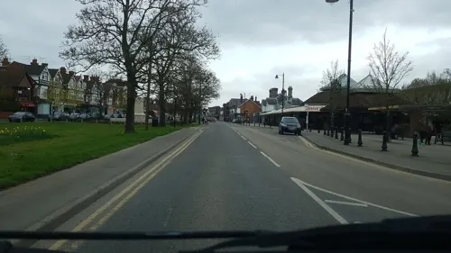
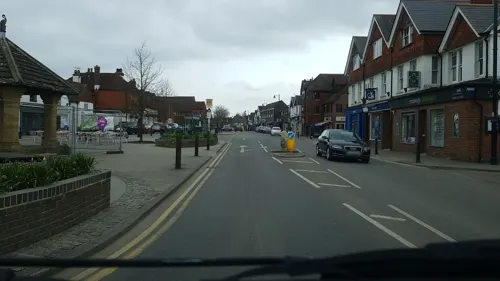

Kings Head Coffee Shop
Cafe · Coffee Shop, Breakfast, Pastry, Tea · 2.6 mi
Pitland Street, Dorking
Mo-Sa 08:00-14:00; Su 08:00-12:00

The King's Head
Bar and pub · Regional · 2.6 mi
Pitland Street, Dorking
Mo off; Tu-Fr 11:30-23:00; Sa 11:30-23:30; Su 12:00-18:00

20 more on the map.
History
Holmbury Hill with its Iron Age settlements in the parishes of Shere, Guildford borough and Abinger, Mole Valley borough Holmbury St Mary for early British settlers would have been a more suitable, accessible settlement than the denser woodland of this area.
A Roman road NNW to SSE just west of the village centre runs from Rowhook over the Sussex border where it met with England's south Stane Street (stone street) between London and Chichester the other end point is not clear, however it was traced in the reign of Victoria by James Park Harrison. The Rapley Roman villa's remains are west of the village: discoveries include a tile-kiln excavated in 1836 and from the villa itself in the 1960s, fragments of a glass goblet and an unusual vase decorated with a 'Mural Crown'.
Richard Rawlinson notes in 1719 the name Ewehurst appears to have been developed from the wooded hills or hurst and yew due to "the vast quantities of yew trees that formerly abounded here."
Read more of the history
When King John was at Guildford and Knepp Castle in West Sussex on the same day, 21 January 1215, in winter when unmade ways were foul, he very probably used the Roman road. Historian H. E. Malden commented of the village in 1911, nothing shows the backwardness of the Weald more than the absolute disuse and forgetting (and abandonment) of these lines of through passage. Ewhurst is not named in Domesday. It was part of the great royal manor of Gomshall but was probably sparsely inhabited. That there was some population soon afterwards is implied by Norman work in the church, a chapel to Shere, the earliest evidence of it as a parish was in 1291.
The richness of the Weald's natural resources led it to become an industrial centre of Britain, as both the iron and glass industries needed large amounts of timber for fuel. There is a site of a bloomery iron works at Coneyhurst Gill and glassmaking sites at Ellen's Green and Summersbury/Somersbury. The wealth of the area can also be seen in the many fine timber-framed houses dating from this medieval and Tudor period, however reliance on coal and the work of the Industrial Revolution later led to neglect, poverty, highwaymen and smuggling exacerbated by the less well trodden transportation connections.
As shown by the list of prominent Victorian and twentieth century figures, the wood nestled physical geography of the area has led to home building among wealthy individuals in the parish.
From the History section of Ewhurst, Surrey on Wikipedia, under CC BY-SA 4.0.
Where to stay4
Churches and places of worship14
Catholic Church of Jesus Christ Reedemer of Mankind
Church · Roman Catholic · 1.9 mi
Shopping6
Gas and EV charging2
Schools, colleges and libraries15
St Cuthbert Mayne Catholic Primary School
School · Roman Catholic · 1.9 mi
St Nicholas Avenue, Cranleigh
Cranleigh Church of England Primary School (Lower School)
School · Anglican · 2.0 mi
Church Lane, Cranleigh
Cranleigh Church of England Primary School (Upper School)
School · Anglican · 2.1 mi
Parsonage Road, Cranleigh
Healthcare3
Map of Ewhurst
105 places. The map loads OpenStreetMap tiles when you open it.
Getting there and nearby towns
London Gatwick Airport (LGW) is the nearest airport with scheduled flights listed in OpenStreetMap, 11 miles away.
- Cranleigh 2 mi southwest, about 3 min by car
- Slinfold 6 mi south, about 10 min by car
- Warnham 6 mi southeast, about 10 min by car
- Dorking 7 mi northeast, about 12 min by car
- West Horsley 7 mi north, about 12 min by car
- Guildford 8 mi northwest, about 13 min by car
- Horsham 8 mi southeast, about 13 min by car
- Godalming 8 mi west, about 12 min by car
- Great Bookham 9 mi north, about 15 min by car
- Leatherhead 11 mi northeast, about 18 min by car
Drive times are estimates from straight-line distance, not routes.
Towns near Ewhurst


Keep exploring
Local news
Headlines from INDB.
Reviews, tips and questions
Loading what members have shared...
Sources and licences
- GeoNames (CC BY 4.0): population, coordinates, regions and time zone
- Mapillary (see each image): photos
- OpenStreetMap contributors (ODbL 1.0): places, airports, map data
- Wikidata (CC0 1.0): elevation, founding date, time zone, website, landmarks and historic places
- Wikimedia Commons (see each image): photos
- Wikipedia (CC BY-SA 4.0): overview and history text
Photo credits
- Abinger Common War Memorial, Abinger Lane, Abinger Common, Surrey 01, Mertbiol, CC0
- Cucknell's Wood (1), Dudley Miles, CC BY-SA 4.0
- Sayer's Croft (2), Dudley Miles, CC BY-SA 4.0
- Christ Church, Cranleigh Road, Shamley Green (May 2014) (2), Hassocks5489, CC0
- Holy Trinity Rudgwick - from the north west, Martinking73, CC BY-SA 3.0
- Cranleigh School from the south east, Cranleigh, Surrey - April 2026 - 06, Mertbiol, CC0
- Holmbury Hill look south, Frege100, CC BY-SA 4.0
- St Mary the Virgin's Church, Horsham Road, Holmbury St Mary (March 2014, from North) (2), Hassocks5489, CC0
- Parish Church of St Peter and St Paul, Ewhurst, Surrey - April 2026, eebAMDG, CC BY-SA 4.0
- 1044371 StNicholas Cranleigh, Switchwitch2007, CC BY-SA 3.0
- Peaslake, St Mark's Church, view, AndyScott, CC BY-SA 4.0
- Holy Trinity Church, Ockley Road, Forest Green (July 2013) (9), Hassocks5489, CC0
- Cranleigh School from the south east, Cranleigh, Surrey - April 2026 - 03, Mertbiol, CC0
- 4211 YJ61CJY (49399675238), Chris Errett from Guildford, Surrey, CC BY-SA 2.0
- 4055 GN09AXH (50012914876), Chris Errett from Guildford, Surrey, CC BY-SA 2.0
- 3990 GN07DLY (49454464702), Chris Errett from Guildford, Surrey, CC BY-SA 2.0
- 3993 GN07DMF (49395120202), Chris Errett from Guildford, Surrey, CC BY-SA 2.0
- 4214 KX61FHM (50072366063), Chris Errett from Guildford, Surrey, CC BY-SA 2.0
- 4058 GN09AXM (50149200177), Chris Errett from Guildford, Surrey, CC BY-SA 2.0
- 4212 YJ61CJZ (50091008182), Chris Errett from Guildford, Surrey, CC BY-SA 2.0
- 4205 YJ61CJE (49967240626), Chris Errett from Guildford, Surrey, CC BY-SA 2.0
- 4214 KX61FHM (49400147351), Chris Errett from Guildford, Surrey, CC BY-SA 2.0
- 4200 YJ57EKG (50009430691), Chris Errett from Guildford, Surrey, CC BY-SA 2.0
- Cranleigh Arts Centre, High Street, Cranleigh, Surrey - June 2025 - 02, Mertbiol, CC0
- Street-level photo, richardc, CC BY-SA 4.0
- Street-level photo, richardc, CC BY-SA 4.0
- Street-level photo, richardc, CC BY-SA 4.0
- Street-level photo, richardc, CC BY-SA 4.0
- Street-level photo, richardc, CC BY-SA 4.0
- Street-level photo, richardc, CC BY-SA 4.0
- Street-level photo, richardc, CC BY-SA 4.0
- Street-level photo, richardc, CC BY-SA 4.0
- Street-level photo, richardc, CC BY-SA 4.0
- Street-level photo, richardc, CC BY-SA 4.0
- Street-level photo, richardc, CC BY-SA 4.0
- Street-level photo, richardc, CC BY-SA 4.0
- Street-level photo, richardc, CC BY-SA 4.0
- Street-level photo, richardc, CC BY-SA 4.0
- Street-level photo, richardc, CC BY-SA 4.0
- Street-level photo, richardc, CC BY-SA 4.0
- Street-level photo, richardc, CC BY-SA 4.0
- Street-level photo, richardc, CC BY-SA 4.0
- Street-level photo, richardc, CC BY-SA 4.0
- Street-level photo, richardc, CC BY-SA 4.0


Page built November 10, 2026. Spotted a mistake? Tell us or suggest a place.