


Kingswood, United Kingdom
Kingswood is a town of 1,252 people in England, United Kingdom.
Why visit Kingswood
Townapedia lists 10 museums and landmarks, 7 parks and trails, 25 places to eat, 2 places to stay and 5 attractions in and around town.
Highlights include Wotton Farm Shop, Wotton Hill, Kingswood Abbey Gatehouse and Monument to Lord Robert Edward Somerset.
Weather in Kingswood
Forecast from MET Norway (CC BY 4.0). Full forecast
About Kingswood
Kingswood is a town and civil parish within the Stroud district of Gloucestershire, England. It is southwest of Wotton-under-Edge and has a population of 1,290, increasing to 1,395 at the 2011 Census.
From the Wikipedia article Kingswood, Stroud District (this version), under CC BY-SA 4.0.
Things to do5
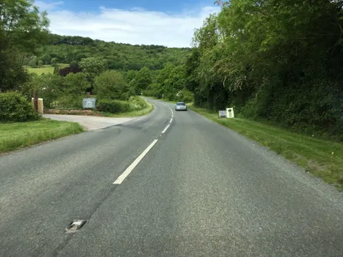


Electric Picture House
Cinema and theater · 1.0 mi
18A Market Street, Wotton-under-Edge
"30 minutes before advertised film start time"

Museums and landmarks10

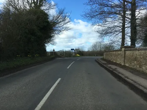
Monument to Lord Robert Edward Somerset
Monument and historic site · 3.1 mi
Monument in Hawkesbury Upton, Gloucestershire, England, UK

Newark Park
Museum · 2.2 mi
Grade I listed historic house museum in Cotswold, United Kingdom

Tyndale Monument
Monument and historic site · 2.3 mi
Monument in North Nibley, Gloucestershire, England, UK


Wotton-under-Edge Heritage Centre
Museum · 0.9 mi
The Chipping, Wotton-under-Edge
Mo,Tu,Fr,Sa 10:30-15:30

Parks, trails and playgrounds7

Nind Nature Reserve
Park · 0.6 mi
Nature reserve in Gloucestershire, England, UK




Restaurants and cafes25

The Cake Collective
Cafe · Coffee Shop · 1.0 mi
35 Long Street, Wotton-under-Edge
We-Sa 09:00-14:00; Su 10:00-15:00; Mo,Tu off
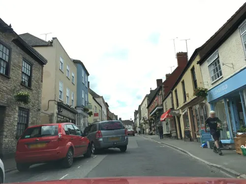
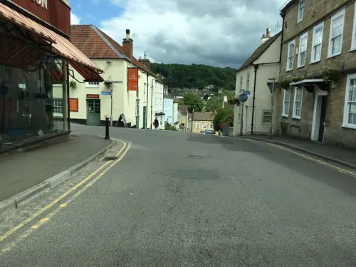
The Falcon Steakhouse
Restaurant · Steak House · 1.1 mi
20 Church Street, Wotton-under-Edge
Atrium Coffee Shop
Cafe · Coffee Shop · 0.9 mi
Wotton Road, Wotton-Under-Edge
Mo-Th 07:30-15:00; Fr-Su closed; PH closed

Beer Mongery Inc.
Bar and pub · 1.0 mi
40 Long Street, Wotton-under-Edge
Th 16:00-23:00; Fr,Sa 13:00-23:00; Mo-We,Su off


Walkers the Bakers
Bakery · 1.1 mi
19 Long Street, Wotton-under-Edge
Th-Fr 08:00-16:00; Sa 08:00-14:00

The India Palace
Restaurant · Indian · 1.1 mi
13-15 Church Street, Wotton-under-Edge
Su-Th 17:30-23:30; Fr,Sa 17:30-00:00
Bunter's Cafe
Cafe · Sandwich · 1.0 mi
6 Bear Street, Wotton-under-Edge
Mo-Fr 07:00-14:00; Sa 08:00-14:00
Cube Coffee Shop
Cafe · Coffee Shop · 1.0 mi
Wotton Road, Wotton-Under-Edge
Mo-Th 07:30-14:00; Fr-Su closed; PH closed
RIC Coffee Shop
Cafe · Coffee Shop · 0.9 mi
Wotton Road, Wotton-Under-Edge
Mo-Th 07:30-14:00; Fr-Su closed; PH closed
13 more on the map.
Notable people from Kingswood
- Larissa WilsonEnglish actress
- David BurnsideEnglish footballer and manager (1939-2009)
- Samuel BrainFounder of Brain's Brewery, Wales
Born in Kingswood, according to Wikidata (CC0). Each name links to its Wikipedia article.
Where to stay2
Churches and places of worship14
Shopping13
Gas and EV charging7
Schools, colleges and libraries4
Healthcare1
Wotton Family Pharmacy
Clinic and pharmacy · 1.0 mi
43 Long Street, Wotton-under-Edge
Map of Kingswood
88 places. The map loads OpenStreetMap tiles when you open it.
Getting there and nearby towns
Cotswold Airport (GBA) is the nearest airport with scheduled flights listed in OpenStreetMap, 14 miles away.
- Wickwar 3 mi southwest, about 4 min by car
- Dursley 4 mi north, about 6 min by car
- Yate 6 mi south, about 10 min by car
- Thornbury 7 mi west, about 11 min by car
- Sherston 8 mi southeast, about 12 min by car
- Avening 9 mi northeast, about 15 min by car
- Stroud 11 mi northeast, about 18 min by car
- Mangotsfield 11 mi southwest, about 18 min by car
- Stoke Gifford 11 mi southwest, about 17 min by car
- Kingswood 13 mi southwest, about 22 min by car
Drive times are estimates from straight-line distance, not routes.
Towns near Kingswood


Keep exploring
Local news
Headlines from INDB.
Reviews, tips and questions
Loading what members have shared...
Sources and licences
- GeoNames (CC BY 4.0): population, coordinates, regions and time zone
- Mapillary (see each image): photos
- OpenStreetMap contributors (ODbL 1.0): places, airports, map data
- Wikidata (CC0 1.0): elevation, founding date, time zone, website, landmarks and historic places
- Wikimedia Commons (see each image): photos
- Wikipedia (CC BY-SA 4.0): overview and history text
Photo credits
- Newark Park side elevation, Nancy, CC BY-SA 4.0
- Tyndall Monument from a distance, Poshjosh1999, CC BY-SA 4.0
- Arvicola-terrestris, Peter Trimming, CC BY 2.0
- Ozleworth Church, Dave Napier, CC BY-SA 2.0
- St MaryTheVirginChurchWootton-under-Edge, Lobsterthermidor at en.wikipedia, CC0
- Kingswood Abbey Gatehouse, Throwawayhack, CC BY-SA 3.0
- Ancient Ram Inn, Brian Robert Marshall, CC BY-SA 2.0
- 35 Long Street, Wotton-under-Edge, Gloucestershire, Mertbiol, CC0
- 37 Long Street, Wotton-under-Edge, Gloucestershire, Mertbiol, CC0
- Wotton-under-Edge from Wotton Hill, Gloucestershire 01, Mertbiol, CC0
- Street-level photo, southglos, CC BY-SA 4.0
- Street-level photo, southglos, CC BY-SA 4.0
- Street-level photo, southglos, CC BY-SA 4.0
- Street-level photo, southglos, CC BY-SA 4.0
- Street-level photo, southglos, CC BY-SA 4.0
- Street-level photo, southglos, CC BY-SA 4.0
- Street-level photo, southglos, CC BY-SA 4.0
- Street-level photo, southglos, CC BY-SA 4.0
- Street-level photo, southglos, CC BY-SA 4.0
- Street-level photo, southglos, CC BY-SA 4.0
- Street-level photo, southglos, CC BY-SA 4.0
- Street-level photo, southglos, CC BY-SA 4.0
- Street-level photo, OrangeHurst97, CC BY-SA 4.0
- Street-level photo, OrangeHurst97, CC BY-SA 4.0
- Street-level photo, southglos, CC BY-SA 4.0
- Street-level photo, OrangeHurst97, CC BY-SA 4.0
- Street-level photo, southglos, CC BY-SA 4.0
- Street-level photo, southglos, CC BY-SA 4.0
- Street-level photo, southglos, CC BY-SA 4.0
- Street-level photo, OrangeHurst97, CC BY-SA 4.0

Page built November 10, 2026. Spotted a mistake? Tell us or suggest a place.