


Why visit Gotham
Townapedia lists 1 museum or landmark, 5 parks and trails, 3 places to eat, 1 place to stay and 2 attractions in and around town.
Highlights include Rushcliffe Country Park and Attenborough Nature Reserve.
Weather in Gotham
Forecast from MET Norway (CC BY 4.0). Full forecast
About Gotham
Gotham is a village and civil parish in Nottinghamshire, England. Its population was 1,563 in the 2011 census and marginally increased to 1,567 in the 2021 census. It is in the borough of Rushcliffe and has a parish council.
From the Wikipedia article Gotham, Nottinghamshire (this version), under CC BY-SA 4.0.
Things to do2


Museums and landmarks1

Parks, trails and playgrounds5


Attenborough Nature Reserve
Park · 2.5 mi
Nature reserve in the United Kingdom


Restaurants and cafes3
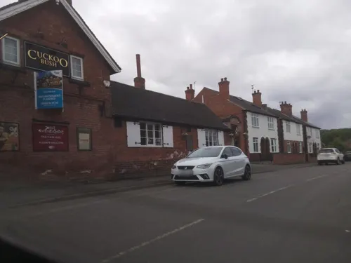
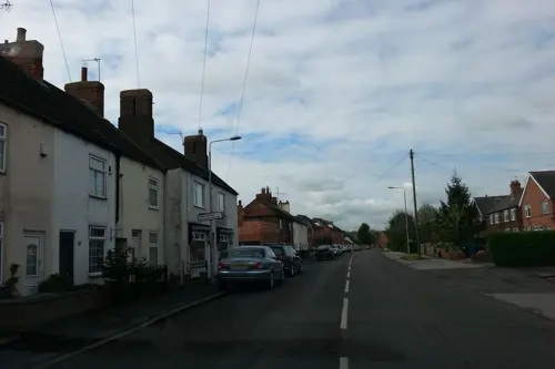
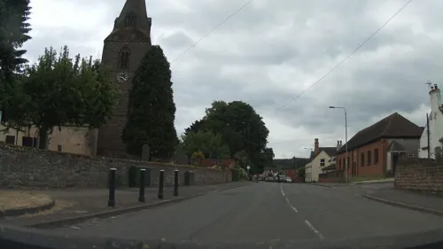
Notable people from Gotham
- John SmithNottinghamshire & All-England Eleven cricketer
Born in Gotham, according to Wikidata (CC0). Each name links to its Wikipedia article.
Where to stay1
Churches and places of worship16
Schools, colleges and libraries3
University of Nottingham School of Veterinary Medicine and Science
School · 3.3 mi
Map of Gotham
31 places. The map loads OpenStreetMap tiles when you open it.
Getting there and nearby towns
East Midlands Airport (EMA) is the nearest airport with scheduled flights listed in OpenStreetMap, 6 miles away.
- Long Eaton 3 mi northwest, about 6 min by car
- Chilwell 3 mi northwest, about 5 min by car
- Stapleford 4 mi northwest, about 7 min by car
- Sutton Bonington 4 mi southwest, about 6 min by car
- West Bridgford 5 mi northeast, about 9 min by car
- Hathern 5 mi southwest, about 9 min by car
- Long Whatton 5 mi southwest, about 9 min by car
- Nottingham 6 mi north, about 10 min by car
- Wymeswold 6 mi southeast, about 9 min by car
- Loughborough 7 mi south, about 11 min by car
Drive times are estimates from straight-line distance, not routes.
Towns near Gotham


Keep exploring
Local news
Headlines from INDB.
Reviews, tips and questions
Loading what members have shared...
Sources and licences
- GeoNames (CC BY 4.0): population, coordinates, regions and time zone
- Mapillary (see each image): photos
- OpenStreetMap contributors (ODbL 1.0): places, airports, map data
- Wikidata (CC0 1.0): elevation, founding date, time zone, website, landmarks and historic places
- Wikimedia Commons (see each image): photos
- Wikipedia (CC BY-SA 4.0): overview and history text
Photo credits
- Gotham, England, User Asterion on en.wikipedia, CC BY 2.5
- Rushcliffe Country Park (3 August 2008), Ruddred0 ( talk ), CC BY-SA 3.0
- Ratcliffe on Soar Holy Trinity Church, Russ Hamer, CC BY-SA 3.0
- Long Eaton Baptist Church, Station Street, Long Eaton (June 2025) (1), User:Hassocks5489, CC0
- St James' Church, Long Eaton, Andrewrabbott, CC BY-SA 4.0
- Church of St George, Barton in Fabis, Tim Heaton, CC BY-SA 2.0
- Street-level photo, southglos, CC BY-SA 4.0
- Street-level photo, southglos, CC BY-SA 4.0
- Street-level photo, southglos, CC BY-SA 4.0
- Street-level photo, southglos, CC BY-SA 4.0
- Street-level photo, southglos, CC BY-SA 4.0
- Street-level photo, southglos, CC BY-SA 4.0
- Street-level photo, adam2, CC BY-SA 4.0
Page built November 10, 2026. Spotted a mistake? Tell us or suggest a place.