


Why visit Hathern
Townapedia lists 3 museums and landmarks, 14 parks and trails, 15 places to eat, 2 places to stay and 2 attractions in and around town.
Highlights include Manor Farm Shop, Charnwood Museum, Loughborough Carillon Tower and War Memorial Museum and Bishop's Meadow.
Weather in Hathern
Forecast from MET Norway (CC BY 4.0). Full forecast
About Hathern
Hathern is a village and civil parish in the Charnwood district of Leicestershire, England. The village itself is located in the north of the district, and is just north of Loughborough. It is served by the A6. The parish has a population of about 1,800.
From the Wikipedia article Hathern (this version), under CC BY-SA 4.0.
Things to do2


Museums and landmarks3

Charnwood Museum
Museum · 2.6 mi
Museum in Loughborough, Leicestershire, England, United Kingdom

Loughborough Carillon Tower and War Memorial Museum
Monument and historic site · 2.6 mi
Grade II listed military museum in Loughborough, United Kingdom

Diseworth Heritage Centre
Museum · 3.3 mi
Heritage centre in United Kingdom
Parks, trails and playgrounds14

Bishop's Meadow
Park · 1.7 mi
Nature reserve in Loughborough, Leicestershire, England





2 more on the map.
Restaurants and cafes15
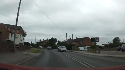
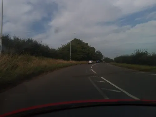



3 more on the map.
History
A settlement probably existed here in the Saxon period but the first written record was in the Domesday Book where it was called Avederne, Old English for hawthorne. Prominent in the centre of the village is Hathern cross, dating from the 14th century. Like most villages in this part of the country, farming and framework knitting were major sources of employment. The parish church dates mainly from the 14th century although a place of worship probably existed on the site in earlier times. An ancient font, one of the oldest in the county is regularly used for baptisms.
From the History section of Hathern on Wikipedia, under CC BY-SA 4.0.
Notable people from Hathern
- Frederick Randon, Jr.English cricketer (1873-1949)
- George Cyril ColmoreBritish aviation pioneer
- Louisa Elizabeth LivingstonNew Zealand artist
Born in Hathern, according to Wikidata (CC0). Each name links to its Wikipedia article.
Where to stay2
Churches and places of worship17
Shopping3
Gas and EV charging1
Schools, colleges and libraries13
Long Whatton Church of England Primary School and Community Centre
School · Anglican · 1.4 mi
The Green, Loughborough
Hathern Church of England Primary School (Cross Street Annexe)
School · Anglican
4 Gladstone Street, Loughborough
University of Nottingham School of Veterinary Medicine and Science
School · 2.3 mi
Map of Hathern
70 places. The map loads OpenStreetMap tiles when you open it.
Getting there and nearby towns
East Midlands Airport (EMA) is the nearest airport with scheduled flights listed in OpenStreetMap, 4 miles away.
- Long Whatton 1 mi northwest, about 2 min by car
- Sutton Bonington 2 mi north, about 3 min by car
- Shepshed 2 mi southwest, about 4 min by car
- Loughborough 3 mi southeast, about 5 min by car
- Wymeswold 6 mi east, about 10 min by car
- Coalville 7 mi southwest, about 11 min by car
- Long Eaton 7 mi north, about 12 min by car
- Mountsorrel 7 mi southeast, about 11 min by car
- Chilwell 8 mi north, about 13 min by car
- Stapleford 8 mi north, about 13 min by car
Drive times are estimates from straight-line distance, not routes.
Towns near Hathern


Keep exploring
Local news
Headlines from INDB.
Reviews, tips and questions
Loading what members have shared...
Sources and licences
- GeoNames (CC BY 4.0): population, coordinates, regions and time zone
- Mapillary (see each image): photos
- OpenStreetMap contributors (ODbL 1.0): places, airports, map data
- Wikidata (CC0 1.0): elevation, founding date, time zone, website, landmarks and historic places
- Wikimedia Commons (see each image): photos
- Wikipedia (CC BY-SA 4.0): overview and history text
Photo credits
- Loughborough Carillon Tower, Queen's Park, Loughborough (NHLE Code 1074532) (July 2025) (4), User:Hassocks5489, CC0
- Bishop's Meadow 6, Dudley Miles, CC BY-SA 4.0
- Wymeswold Meadows 4, Dudley Miles, CC BY-SA 4.0
- St Andrew's Church, Kegworth 05, Crep171166, CC BY-SA 4.0
- St Mary's Church, Ashby Road, Loughborough (NHLE Code 1320089) (June 2025) (6), User:Hassocks5489, CC0
- St Anne Sutton 1, Dpaajones, CC BY-SA 3.0
- St Michael Bonington 1, Dpaajones, CC BY-SA 3.0
- Kingston on Soar Nottinghamshire St Wilfred's Church, Russ Hamer, CC BY-SA 3.0
- Loughborough University Entrance, Chick0nPTCG, CC BY-SA 4.0
- Charnwood Museum - 7 May 2026, Aethonatic, CC0
- Street-level photo, 767vbfxczicayv, CC BY-SA 4.0
- Street-level photo, southglos, CC BY-SA 4.0
- Street-level photo, victuallers, CC BY-SA 4.0
- Street-level photo, victuallers, CC BY-SA 4.0
- Street-level photo, southglos, CC BY-SA 4.0
- Street-level photo, victuallers, CC BY-SA 4.0
- Street-level photo, victuallers, CC BY-SA 4.0
- Street-level photo, southglos, CC BY-SA 4.0
- Street-level photo, southglos, CC BY-SA 4.0
- Street-level photo, victuallers, CC BY-SA 4.0


Page built November 10, 2026. Spotted a mistake? Tell us or suggest a place.