


Greyabbey, United Kingdom
Greyabbey is a town of 1,030 people in Northern Ireland, United Kingdom.
Why visit Greyabbey
Townapedia lists 7 museums and landmarks and 4 places to eat in and around town.
Highlights include Grey Abbey and Mount Stewart.
Weather in Greyabbey
Forecast from MET Norway (CC BY 4.0). Full forecast
About Greyabbey
Greyabbey or Grey Abbey (Irish: Mainistir Liath, meaning 'grey monastery') is a small village, townland (of 208 acres) and civil parish located on the eastern shores of Strangford Lough, on the Ards Peninsula in County Down, Northern Ireland.
From the Wikipedia article Greyabbey (this version), under CC BY-SA 4.0.
Museums and landmarks7

Grey Abbey
Monument and historic site
Ruined Cistercian monastery in Co. Down, Northern Ireland

Mount Stewart
Museum · 2.4 mi
Historic house museum and garden in Co. Down, Northern Ireland
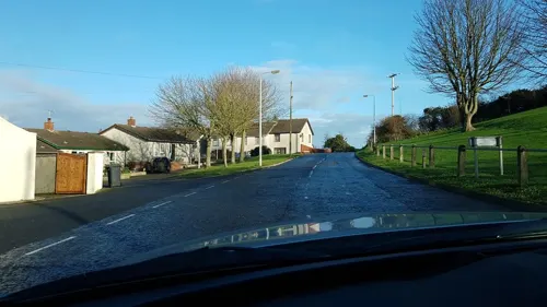

Restaurants and cafes4
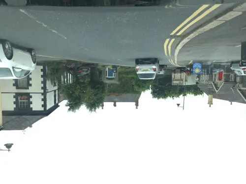
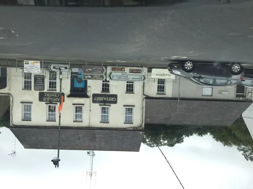

Churches and places of worship3

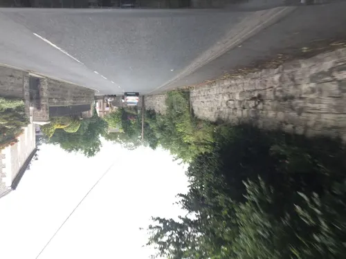

Shopping1
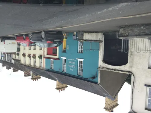
History
The village (and townland) derives its name from the Grey Abbey, a Cistercian abbey-monastery located on the eastern side of the village, dating from 1193. Historically it was also called Monesterlee or Monesterlea, which are anglicisations of its Irish name Mainistir Liath ("grey abbey/monastery").
It was founded by Affreca, daughter of Godred Olafsson, King of the Isles, and wife of John de Courcy, Anglo-Norman conqueror of part of the province of Ulster.
The site of the abbey was on the Ards Peninsula, 7 miles (11 km) from Newtownards, at the confluence of a small river and Strangford Lough. Architecturally it is important as the first fully gothic style building in Ulster; it is the first fully stone church in which every window arch and door was pointed rather than round headed. The ruined abbey is now located in the parkland of Rosemount House, home of the Montgomery family, to the east side of the village, in the modern townland of Rosemount.
Read more of the history
Tradition says that Affreca founded the abbey in thanksgiving for a safe landing after a perilous journey at sea. The abbey was colonised with monks from Holmcultram in Cumberland, with which it maintained close ties in the early years. The construction of the stone church began almost immediately. In 1222, and again in 1237, abbots of Grey Abbey went on to become abbots of Holmcultram. The Latin name of the abbey is Iugum Dei, which means "Yoke of God". Little is known of the abbey's history, although it appears to have been almost completely destroyed during the invasion of Edward Bruce (1315–18). No reliable sources concerning the value of the abbey foundation survive, but it is not likely to have been prosperous.
The abbey was dissolved in 1541. In the same year, part of the monastic property was granted to the 11th Earl of Kildare. The monastery was physically destroyed during the military operations of the Elizabethan era. In 1572, Bryan O'Neill burnt Grey Abbey to stop it being used as a refuge for English colonists trying to settle in the Ards Peninsula.
During the 17th century, the church nave was re-roofed and served as a parish church until 1778.
In the late 19th century, repairs were executed by The Office of Public Works (The O.P.W.).
Unfortunately, an excessive amount of concrete was used, the crudity of which is still obvious today. The remains of the abbey include the abbey church and some of the conventual buildings, dating from c.1193 – c.1250. The original plan of the monastery can be followed with ease through foundations and earthworks. The abbot's seat has been preserved. It is fitted inside a pointed arch and flanked by detached colonettes. Corbel tables are also a rarity in Ireland, but the Cistercians can boast two of them, one at Tintern and one at Grey. At Grey the corbels were inserted when the roof was raised, probably in the early fifteenth century. There are eight of them altogether, carved with oak leaves, human figures and animal heads.
An outstanding effigy of a 'sword seizing' knight survives, thought to date from c. 1300 as well as an effigy of a woman carved in high relief and attired in thickly cut robes. Tradition relates that this is Affreca, who was buried in the abbey, but the style suggests that the effigy actually originated in the fourteenth century, a hundred years after her death. The ruins are now set in a private parkland, belonging to the eighteenth-century mansion, Rosemont House. The park is not accessible to the public.
Irish Rebellion of 1798: on the morning of Pike Sunday, 10 June 1798, a force of United Irishmen, mainly from Greyabbey, Bangor, Donaghadee, and Ballywalter, attempted to occupy the town of Newtownards. They met with musket fire from the market house and were defeated. It is because of this association with the rebellion that the term "The Green Boys o' Greba" was given to the men of the village. GREBA is the name given to the village by the local residents, and also by those from the neighbouring areas. It is a localised "Ulster-Scots" terminology.
The Rebellion of 1798 also affected the village in another form, with the death by hanging of the Rev James Porter, Minister of Trinity Presbyterian Church, Greyabbey, on 2 July 1798. The final resting place of Rev Porter is in the Old Graveyard, Greyabbey, which itself lies adjacent to the ancient Abbey ruins.
On Tullykevin Road, in Greyabbey, there is a brass plate on a field post in remembrance of a pilot who crashed and died there during the Second World War.
From the History section of Greyabbey on Wikipedia, under CC BY-SA 4.0.
Notable people from Greyabbey
- Flora MontgomeryNorthern Irish actress
- George EnnisBritish politician (born 1953)
Born in Greyabbey, according to Wikidata (CC0). Each name links to its Wikipedia article.
Schools, colleges and libraries1
Healthcare1
Map of Greyabbey
17 places. The map loads OpenStreetMap tiles when you open it.
Getting there and nearby towns
George Best Belfast City Airport (BHD) is the nearest airport with scheduled flights listed in OpenStreetMap, 14 miles away.
- Newtownards 7 mi northwest, about 11 min by car
- Bangor 10 mi northwest, about 16 min by car
- Dundonald 10 mi northwest, about 17 min by car
- Portaferry 11 mi south, about 17 min by car
- Saintfield 12 mi southwest, about 19 min by car
- Holywood 13 mi northwest, about 21 min by car
- Belfast 15 mi west, about 25 min by car
- Newtownabbey 16 mi northwest, about 26 min by car
- Carrickfergus 16 mi northwest, about 26 min by car
- Downpatrick 16 mi southwest, about 25 min by car
Drive times are estimates from straight-line distance, not routes.
Towns near Greyabbey


Keep exploring
Local news
Headlines from INDB.
Reviews, tips and questions
Loading what members have shared...
Sources and licences
- GeoNames (CC BY 4.0): population, coordinates, regions and time zone
- Mapillary (see each image): photos
- OpenStreetMap contributors (ODbL 1.0): places, airports, map data
- Wikidata (CC0 1.0): elevation, founding date, time zone, website, landmarks and historic places
- Wikimedia Commons (see each image): photos
- Wikipedia (CC BY-SA 4.0): overview and history text
Photo credits
- Grey Abbey (314914), Aubrey Dale, CC BY-SA 2.0
- Grey Abbey - Ards, Shaun Dunphy, CC BY-SA 2.0
- Mount Stewart April 2011, Ulsterbeef, CC BY-SA 3.0
- Street-level photo, nickjohnston, CC BY-SA 4.0
- Street-level photo, laye, CC BY-SA 4.0
- Street-level photo, laye, CC BY-SA 4.0
- Street-level photo, laye, CC BY-SA 4.0
- Street-level photo, laye, CC BY-SA 4.0
- Street-level photo, nickjohnston, CC BY-SA 4.0
Page built November 10, 2026. Spotted a mistake? Tell us or suggest a place.