




Why visit Hirwaun
Townapedia lists 2 museums and landmarks, 2 parks and trails, 7 places to eat, 1 place to stay and 2 attractions in and around town.
Highlights include Coliseum Theatre, Iron Tram Bridge, Robertstown, Aberdare Park and Dare Valley Country Park.
Weather in Hirwaun
Forecast from MET Norway (CC BY 4.0). Full forecast
About Hirwaun
Hirwaun (, locally ; Welsh pronunciation: [ˈhɪrwai̯n] ) is a village and community at the north end of the Cynon Valley in the County Borough of Rhondda Cynon Taf, South Wales. It is 4 miles (6 km) NW of the town of Aberdare, and comes under the Aberdare post town. The 2021 United Kingdom Census documented that Hirwaun had a population of 5,237. The village is on the Heads of the Valleys Road and at the southern edge of the Brecon Beacons National Park.
From the Wikipedia article Hirwaun (this version), under CC BY-SA 4.0.
Things to do2

Coliseum Theatre
Cinema and theater · 2.6 mi
Theatre and cinema in Aberdare, Wales

Iron Tram Bridge, Robertstown
Bridge · 2.7 mi
Grade II listed building in Aberdare
Museums and landmarks2

Parks, trails and playgrounds2


Restaurants and cafes7


Notable people from Hirwaun
 Gareth EvansWelsh filmmaker (born 1980)Photo: Raffi Asdourian, CC BY 2.0
- Elizabeth Andrewsfirst woman organiser of the Labour Party in Wales (1882-1960)
- Lewis DaviesWelsh novelist and local historian
- Sarah Lianne LewisWelsh composer (born 1988)
Born in Hirwaun, according to Wikidata (CC0). Each name links to its Wikipedia article.
Where to stay1
Churches and places of worship18
Shopping1
Schools, colleges and libraries4
Healthcare1
Map of Hirwaun
38 places. The map loads OpenStreetMap tiles when you open it.
Getting there and nearby towns
Cardiff Airport (CWL) is the nearest airport with scheduled flights listed in OpenStreetMap, 25 miles away.
- Aberdare 3 mi southeast, about 5 min by car
- Merthyr Tydfil 6 mi east, about 9 min by car
- Rhondda 6 mi southeast, about 10 min by car
- Treorchy 6 mi south, about 9 min by car
- Mountain Ash 7 mi southeast, about 11 min by car
- Tonypandy 8 mi south, about 14 min by car
- Llwynypia 8 mi south, about 12 min by car
- Resolven 8 mi west, about 13 min by car
- Rhymney 10 mi east, about 16 min by car
- Treharris 10 mi southeast, about 16 min by car
Drive times are estimates from straight-line distance, not routes.
Towns near Hirwaun


Keep exploring
Local news
Headlines from INDB.
Reviews, tips and questions
Loading what members have shared...
Sources and licences
- GeoNames (CC BY 4.0): population, coordinates, regions and time zone
- OpenStreetMap contributors (ODbL 1.0): places, airports, map data
- Wikidata (CC0 1.0): elevation, founding date, time zone, website, landmarks and historic places
- Wikimedia Commons (see each image): photos
- Wikipedia (CC BY-SA 4.0): overview and history text
Photo credits
- HirwaunWarMemorial, Darren Wyn Rees, CC BY-SA 3.0
- Darevalleycountrypark-photo-by-aberdare-blog, Darren Wyn Rees at Aberdare Blog, CC BY-SA 4.0
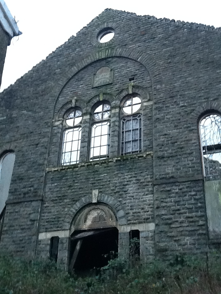
- Bethania Aberdare in 2014, Macs15, CC BY-SA 3.0
- Calfaria, Aberdare, now closed, in 2014, Macs15, CC BY-SA 3.0
- Ebenezer Welsh Independent Chapel (1), GeraintTudur2, CC BY-SA 3.0
- Cwmdare Elim Chapel, Darren Wyn Rees via Aberdare Blog, CC BY-SA 3.0
- Lord Merthyr Aberdare Park by Aberdare Blog, Darren Wyn Rees at Aberdare Blog, CC BY-SA 3.0
- Ty Newydd Country Hotel, Torben T. Koch, CC BY-SA 4.0

Page built November 10, 2026. Spotted a mistake? Tell us or suggest a place.