


Saundersfoot, United Kingdom
Saundersfoot is a town of 3,361 people in Wales, United Kingdom.
Why visit Saundersfoot
Townapedia lists 5 museums and landmarks, 6 parks and trails, 29 places to eat, 26 places to stay and 2 attractions in and around town.
Highlights include Tenby Museum and Art Gallery, Folly Farm Adventure Park and Zoo and Manor Wildlife Park.
Weather in Saundersfoot
Forecast from MET Norway (CC BY 4.0). Full forecast
About Saundersfoot
Saundersfoot (sometimes Welsh: Llanusyllt; Old Welsh: Llanussyllt) is a large village and community (and former electoral ward) in Pembrokeshire, Wales. It is near Tenby, both being holiday destinations. Saundersfoot lies in the Pembrokeshire Coast National Park and on the Pembrokeshire Coast Path. The village population was recorded as 2,500 (rounded to the nearest 100) in the 2021 census.
From the Wikipedia article Saundersfoot (this version), under CC BY-SA 4.0.
Travel tips from other travellers: Saundersfoot on Wikivoyage (CC BY-SA 4.0).
Things to do2

Four Seasons Farm Shop and Deli
Farm and orchard · 0.9 mi
Narberth Road, Saundersfoot
Museums and landmarks5

Tenby Museum and Art Gallery
Museum · 2.6 mi
Local history museum in Tenby, Wales


Parks, trails and playgrounds6

Folly Farm Adventure Park and Zoo
Park · 2.6 mi
Zoo in Pembrokeshire, Wales


Restaurants and cafes29
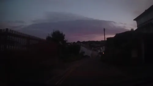
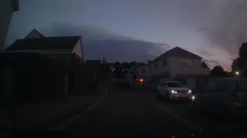
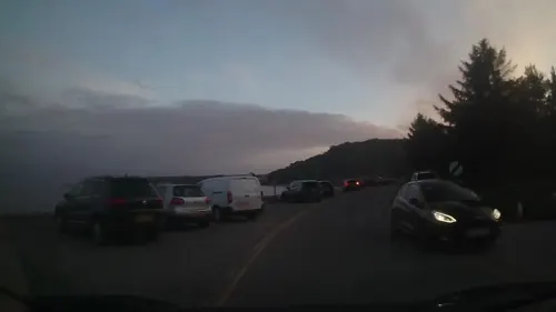
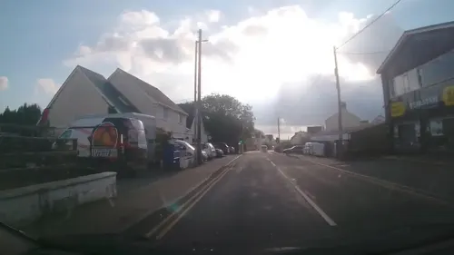
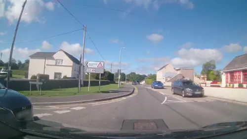

Lan y Mor
Restaurant · Asian, Roast, Burger, British, Welsh · 0.6 mi
Mo Off; Tu Off; We-Sa 12:00-14:45,17:30-21:00; Su 12:00-17:30
Harbwr Bar and Kitchen
Restaurant · Fish, Seafood, Steak House
High Street, Saundersfoot
17 more on the map.
History
Saundersfoot was known in medieval Wales as Llanussyllt, and after the Norman conquest as St. Issels (sometimes Issells), both after the parish church dedicated to the Welsh saint Issel. It appeared as St. Tissels on a 1578 parish map of Pembrokeshire. Its bishop or abbot was considered one of the seven principal clerics of Dyfed under medieval Welsh law. It was a substantial parish in 1833 with 1,226 inhabitants. John Marius Wilson described the village and parish as St Issells in his 1870–72 Imperial Gazetteer of England and Wales. The church lies in a dell to the north of Saundersfoot and is a grade II* listed building.
From the History section of Saundersfoot on Wikipedia, under CC BY-SA 4.0.
Notable people from Saundersfoot
 Rod de'AthWelsh musician (1950–2014)Photo: Heinrich Klaffs, CC BY-SA 2.0
- William FrostWelsh aviation pioneer (1848–1935)
- Ryan ConbeerWelsh rugby union player
Born in Saundersfoot, according to Wikidata (CC0). Each name links to its Wikipedia article.
Where to stay26
Churches and places of worship7
Shopping9
Gas and EV charging1
Schools, colleges and libraries3
Healthcare2
Map of Saundersfoot
90 places. The map loads OpenStreetMap tiles when you open it.
Getting there and nearby towns
Haverfordwest Airport (HAW) is the nearest airport with scheduled flights listed in OpenStreetMap, 14 miles away.
- Tenby 3 mi south, about 4 min by car
- Whitland 8 mi northeast, about 14 min by car
- Haverfordwest 13 mi northwest, about 21 min by car
- Milford Haven 14 mi west, about 23 min by car
- Carmarthen 20 mi northeast, about 32 min by car
- Llanelli 23 mi east, about 37 min by car
- Gorseinon 28 mi east, about 46 min by car
- Ammanford 31 mi east, about 50 min by car
- Swansea 33 mi east, about 53 min by car
- Clydach 34 mi east, about 55 min by car
Drive times are estimates from straight-line distance, not routes.
Towns near Saundersfoot


Keep exploring
Local news
Headlines from INDB.
Reviews, tips and questions
Loading what members have shared...
Sources and licences
- GeoNames (CC BY 4.0): population, coordinates, regions and time zone
- Mapillary (see each image): photos
- OpenStreetMap contributors (ODbL 1.0): places, airports, map data
- Wikidata (CC0 1.0): elevation, founding date, time zone, website, landmarks and historic places
- Wikimedia Commons (see each image): photos
- Wikipedia (CC BY-SA 4.0): overview and history text
Photo credits
- Saundersfoot-harbor, Rollercow, CC BY-SA 3.0
- St Mary's Church Tenby (35448690362), Tony Hisgett from Birmingham, UK, CC BY 2.0
- Giraffe-feeding, Zoe Wright, CC BY-SA 4.0
- Tenby Museum & Art Gallery, Peter Broster, CC BY-SA 4.0
- Street-level photo, trigpoint, CC BY-SA 4.0
- Street-level photo, trigpoint, CC BY-SA 4.0
- Street-level photo, trigpoint, CC BY-SA 4.0
- Street-level photo, trigpoint, CC BY-SA 4.0
- Street-level photo, trigpoint, CC BY-SA 4.0
- Street-level photo, trigpoint, CC BY-SA 4.0
- Street-level photo, trigpoint, CC BY-SA 4.0
- Street-level photo, trigpoint, CC BY-SA 4.0
- Street-level photo, trigpoint, CC BY-SA 4.0
- Street-level photo, trigpoint, CC BY-SA 4.0
- Street-level photo, trigpoint, CC BY-SA 4.0
- Street-level photo, trigpoint, CC BY-SA 4.0
- Street-level photo, trigpoint, CC BY-SA 4.0
- Street-level photo, trigpoint, CC BY-SA 4.0
- Street-level photo, trigpoint, CC BY-SA 4.0
- Street-level photo, trigpoint, CC BY-SA 4.0
- Street-level photo, trigpoint, CC BY-SA 4.0
- Street-level photo, trigpoint, CC BY-SA 4.0
- Street-level photo, trigpoint, CC BY-SA 4.0
- Street-level photo, trigpoint, CC BY-SA 4.0
- Street-level photo, trigpoint, CC BY-SA 4.0
- Street-level photo, trigpoint, CC BY-SA 4.0
Page built November 10, 2026. Spotted a mistake? Tell us or suggest a place.