

Kingsclere, United Kingdom
Kingsclere is a town of 3,164 people in England, United Kingdom.
Why visit Kingsclere
Townapedia lists 3 museums and landmarks, 10 parks and trails, 5 places to eat, 2 places to stay and 3 attractions in and around town.
Highlights include War Memorial and Sandford Springs Hotel & Golf Club.
Weather in Kingsclere
Forecast from MET Norway (CC BY 4.0). Full forecast
About Kingsclere
Kingsclere is a large village and civil parish in Hampshire, England.
From the Wikipedia article Kingsclere (this version), under CC BY-SA 4.0.
Things to do3
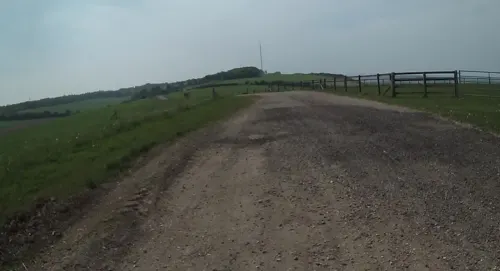

Museums and landmarks3

Parks, trails and playgrounds10
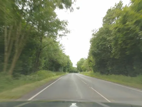

Sandford Springs Hotel & Golf Club
Golf course · 0.8 mi
9 hole Par 34 Park Course & 9 hole Par 36 Woods Course & 9 hole Par 35 Lakes Course


Restaurants and cafes5
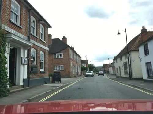

Ego at The Star Inn
Restaurant · Mediterranean · 1.0 mi
Newbury Road, Newbury
Mo-We 12:00-22:00; Th-Sa 12:00-23:00; Su 12:00-22:00

History
Kingsclere can trace back its history to a place identified as belonging to King Alfred in his will between 872 and 888, the 'clere' possibly meaning 'bright' or 'clearing'.
In his will King Alfred left Kingsclere for life to his second daughter, Ethelgiva, Abbess of Shaftesbury,
and there are other mentions of it in Saxon charters. In 931 King Athelstan at a Witenagemot at Colchester granted 10 hides of land at Clere to Abbot Aelfric, and in 943 King Edmund bestowed 15 hides of land at Clere on the 'religious woman Aelfswith'.
While sixteen years later King Edgar gave his thegn Aelfwine 10 hides of land at West Clere.
Local legend asserts that King John was troubled by a bedbug during a night in a Kingsclere inn, when prevented by fog from reaching his lodge at Freemantle Park on Cottington's hill. He ordained that the church should erect and evermore maintain upon its tower a representation of the creature that had disturbed his sleep. It is recorded that King John stayed at Freemantle Park on 8 and 9 September 1204
Read more of the history
On 5 October 1944, 10 American soldiers belonging to a US Army engineering support group based at Sydmonton Court nearby, broke bounds to visit The Swan public house, but were ordered back by two members of military police (MP). On their return to base, the soldiers broke into the armoury, then returned to the village and laid siege to The Crown public house, where the two MPs were drinking. Both MPs were killed, as was the pub landlady.
From the History section of Kingsclere on Wikipedia, under CC BY-SA 4.0.
More about Kingsclere
Geography
Kingsclere is approximately equidistant 13 kilometres (8.1 mi) from the towns of Basingstoke and Newbury on the A339 road.
From the Wikipedia article Kingsclere, under CC BY-SA 4.0.
Notable people from Kingsclere
- Archibald James MurrayBritish army officer, 1860 –1945 (1860–1945)
- Joseph SpenceBritish historian and landscape architect
- Clare BaldingBritish TV presenter, journalist and amateur jockey
- Simon OxleyBritish graphic designer
- Archie Gibsoncricketer (1877-1943)
- Arthur KnellerEnglish cricketer (1894-1969)
- Martin James Evans(fl 1918-1955), Captain RN
Born in Kingsclere, according to Wikidata (CC0). Each name links to its Wikipedia article.
Where to stay2
Churches and places of worship5
Gas and EV charging1
Schools, colleges and libraries2
Map of Kingsclere
31 places. The map loads OpenStreetMap tiles when you open it.
Getting there and nearby towns
RAF Odiham (ODH) is the nearest airport with scheduled flights listed in OpenStreetMap, 14 miles away.
- Tadley 5 mi east, about 8 min by car
- Thatcham 5 mi north, about 9 min by car
- Newbury 6 mi northwest, about 10 min by car
- Overton 6 mi south, about 9 min by car
- Highcoems 6 mi west, about 9 min by car
- Sherborne St John 6 mi east, about 10 min by car
- Cold Ash 7 mi north, about 11 min by car
- Basingstoke 8 mi southeast, about 13 min by car
- Hermitage 9 mi north, about 15 min by car
- Winterbourne 9 mi northwest, about 15 min by car
Drive times are estimates from straight-line distance, not routes.
Towns near Kingsclere


Keep exploring
Local news
Headlines from INDB.
Reviews, tips and questions
Loading what members have shared...
Sources and licences
- GeoNames (CC BY 4.0): population, coordinates, regions and time zone
- Mapillary (see each image): photos
- OpenStreetMap contributors (ODbL 1.0): places, airports, map data
- Wikidata (CC0 1.0): elevation, founding date, time zone, website, landmarks and historic places
- Wikimedia Commons (see each image): photos
- Wikipedia (CC BY-SA 4.0): overview and history text
Photo credits
- St Marys Church Kingsclere Hampshire, David e cooper, CC BY 3.0
- Street-level photo, southglos, CC BY-SA 4.0
- Street-level photo, southglos, CC BY-SA 4.0
- Street-level photo, jpennycook, CC BY-SA 4.0
- Street-level photo, jpennycook, CC BY-SA 4.0
- Street-level photo, southglos, CC BY-SA 4.0
- Street-level photo, themadcabbie, CC BY-SA 4.0
- Street-level photo, southglos, CC BY-SA 4.0
- Street-level photo, southglos, CC BY-SA 4.0
- Street-level photo, laye, CC BY-SA 4.0
- Street-level photo, jpennycook, CC BY-SA 4.0
Page built November 10, 2026. Spotted a mistake? Tell us or suggest a place.