


Sherborne St John, United Kingdom
Sherborne St John is a town of 1,186 people in England, United Kingdom.
Why visit Sherborne St John
Townapedia lists 15 museums and landmarks, 18 parks and trails, 12 places to eat and 2 places to stay in and around town.
Highlights include The Vyne, Milestones Living History Museum, Eastrop Park and The Vyne Estate.
Weather in Sherborne St John
Forecast from MET Norway (CC BY 4.0). Full forecast
About Sherborne St John
Sherborne St John is a village and civil parish near Basingstoke in the English county of Hampshire.
From the Wikipedia article Sherborne St John (this version), under CC BY-SA 4.0.
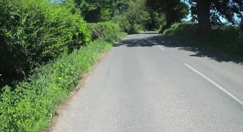
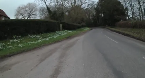
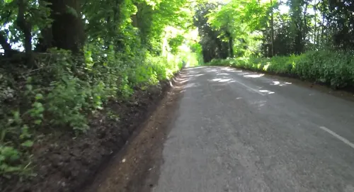
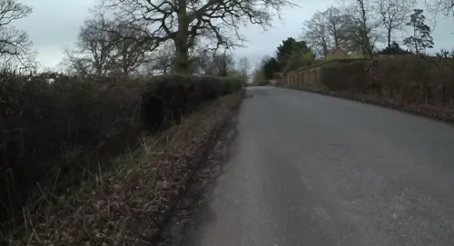
Photos of Sherborne St John


Museums and landmarks15

The Vyne
Monument and historic site · 1.3 mi
16th-century country house outside Sherborne St John, Basingstoke, Hampshire, England, UK

Milestones Living History Museum
Museum · 2.1 mi
Heritage centre in Basingstoke, United Kingdom

Basing House
Museum · 3.3 mi
Tudor palace and castle in Old Basing, United Kingdom

3 more on the map.
Parks, trails and playgrounds18
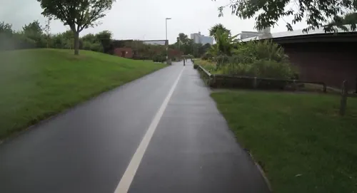
Eastrop Park
Park · 2.7 mi
Public park in the east of Basingstoke, England



6 more on the map.
Restaurants and cafes12




Where to stay2

History
The village was named in the Domesday Book as Sireburne. It became Shireburna (12th century), Schyreburne (13th century) and Shirebourne Decani, Shireburn St. John in the 14th century.
Sir Bernard Brocas, the 14th century soldier and friend of the Black Prince, held the Beaurepaire estate in Sherborne St John. His son, the rebel, also called Sir Bernard Brocas, made it the family's permanent home.
From the History section of Sherborne St John on Wikipedia, under CC BY-SA 4.0.
More about Sherborne St John
Arts and culture
The following can be found in the village: The Swan pub, Sherborne St John Social Club (established 1903 and oldest registered club in the country), Sherborne St. John Village Hall (and clock), Sherborne St. John Tennis Club, St. Andrews Church, Sherborne St John FC, 1 duck pond, 2 swing parks, Chute Pavilion and Sports Field, Sherborne St. John Toddlers, and a village green.
Sherborne St. John has its own parish magazine, The Villager. A Greening Campaign has been launched to make all the locals eco friendly.
Annual events in the parish include the Sherborne St John Village Fayre and Monk Sherborne & District Horticultural Show.
Education
The Sherborne St. John Church of England Primary School is over 150 years old and teaches year R (Reception) and years 1–6. The school has approximately 17 children in each year, and approximately 115 students in total. In the SATS results of 2010 the school placed as the top primary school in Hampshire (based on Average Points Score).
Children aged 11 to 16 that receive state-funded education are likely to attend The Hurst School in Baughurst.
From the Wikipedia article Sherborne St John, under CC BY-SA 4.0.
Churches and places of worship10
Shopping1
Gas and EV charging1
Schools, colleges and libraries6
Healthcare5
Map of Sherborne St John
70 places. The map loads OpenStreetMap tiles when you open it.
Getting there and nearby towns
RAF Odiham (ODH) is the nearest airport with scheduled flights listed in OpenStreetMap, 9 miles away.
- Basingstoke 3 mi southeast, about 4 min by car
- Tadley 4 mi north, about 6 min by car
- Thatcham 10 mi northwest, about 16 min by car
- Newbury 12 mi northwest, about 19 min by car
- Fleet 12 mi east, about 20 min by car
- Alton 12 mi southeast, about 19 min by car
- Lower Earley 12 mi northeast, about 20 min by car
- Reading 13 mi northeast, about 20 min by car
- Yateley 13 mi east, about 20 min by car
- Wokingham 14 mi northeast, about 23 min by car
Drive times are estimates from straight-line distance, not routes.
Towns near Sherborne St John


Keep exploring
Local news
Headlines from INDB.
Reviews, tips and questions
Loading what members have shared...
Sources and licences
- GeoNames (CC BY 4.0): population, coordinates, regions and time zone
- Mapillary (see each image): photos
- OpenStreetMap contributors (ODbL 1.0): places, airports, map data
- Wikidata (CC0 1.0): elevation, founding date, time zone, website, landmarks and historic places
- Wikimedia Commons (see each image): photos
- Wikipedia (CC BY-SA 4.0): overview and history text
Photo credits
- Milestones Museum, Basingstoke, Simon Green, CC BY-SA 2.0
- St James church, Bramley 01, BabelStone, CC BY-SA 4.0
- St Michael's Church, Basingstoke, Lewis Hulbert, CC BY-SA 3.0
- The Vyne House, Unknown author, CC BY-SA 3.0
- St Gabriel's Church, Popley, Basingstoke, Lewis Hulbert, CC BY-SA 4.0
- The Vyne Chapel Interior, Alexander Williams, CC BY-SA 4.0
- St Andrew's Church, Sherbourne St. John, BabelStone, CC BY-SA 4.0
- St Andrew's Church, Sherbourne St. John (south porch), BabelStone, CC BY-SA 4.0
- St Andrew's Church, Sherbourne St. John (tower and porch), BabelStone, CC BY-SA 4.0
- St Andrew's Church, Sherbourne St. John gravestone 04, BabelStone, CC BY-SA 4.0
- St Andrew's Church, Sherbourne St. John gravestone 01, BabelStone, CC BY-SA 4.0
- St Andrew's Church, Sherbourne St. John gravestone 02, BabelStone, CC BY-SA 4.0
- St Andrew's Church, Sherbourne St. John gravestone 03, BabelStone, CC BY-SA 4.0
- St Andrew's Church, Sherbourne St. John gravestone 08, BabelStone, CC BY-SA 4.0
- St Andrew's Church, Sherbourne St. John gravestone 07, BabelStone, CC BY-SA 4.0
- St Andrew's Church, Sherbourne St. John gravestone 09, BabelStone, CC BY-SA 4.0
- St Andrew's Church, Sherbourne St. John gravestone 06, BabelStone, CC BY-SA 4.0
- St Andrew's Church, Sherbourne St. John gravestone 05, BabelStone, CC BY-SA 4.0
- St Andrew's Church, Sherbourne St. John gravestone 10, BabelStone, CC BY-SA 4.0
- Street-level photo, jpennycook, CC BY-SA 4.0
- Street-level photo, jpennycook, CC BY-SA 4.0
- Street-level photo, jpennycook, CC BY-SA 4.0
- Street-level photo, jpennycook, CC BY-SA 4.0
- Street-level photo, jpennycook, CC BY-SA 4.0
- Street-level photo, jpennycook, CC BY-SA 4.0
- Street-level photo, southglos, CC BY-SA 4.0
- Street-level photo, jpennycook, CC BY-SA 4.0
- Street-level photo, 4004, CC BY-SA 4.0
- Street-level photo, jpennycook, CC BY-SA 4.0
- Street-level photo, jpennycook, CC BY-SA 4.0
- Street-level photo, jpennycook, CC BY-SA 4.0
- Street-level photo, jpennycook, CC BY-SA 4.0


Page built November 10, 2026. Spotted a mistake? Tell us or suggest a place.