

Llanbradach, United Kingdom
Llanbradach is a town of 3,746 people in Wales, United Kingdom.
Why visit Llanbradach
Townapedia lists 1 museum or landmark, 2 parks and trails, 15 places to eat, 3 places to stay and 3 attractions in and around town.
Highlights include Hengoed Viaduct and Mynydd Dimlaith.
Weather in Llanbradach
Forecast from MET Norway (CC BY 4.0). Full forecast
About Llanbradach
Llanbradach is a village in the county borough of Caerphilly, South Wales. It lies within the historic boundaries of Glamorgan, less than three miles (five kilometres) north of the town of Caerphilly. It is part of the community of Llanbradach and Pwll-y-Pant.
From the Wikipedia article Llanbradach (this version), under CC BY-SA 4.0.
Things to do3
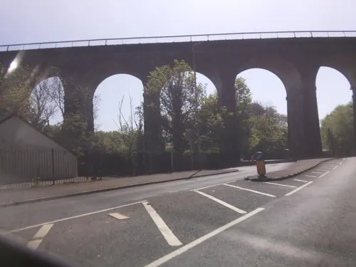
Hengoed Viaduct
Bridge · 2.8 mi
Railway viaduct in Caerphilly county borough, South Wales

Museums and landmarks1

Parks, trails and playgrounds2

Restaurants and cafes15
Pontygwindy Alehouse
Bar and pub · 1.4 mi
Pontygwindy Road, Caerphilly
Mo-Th 12:00-23:00; Fr-Sa 12:00-24:00; Su 12:00-23:00
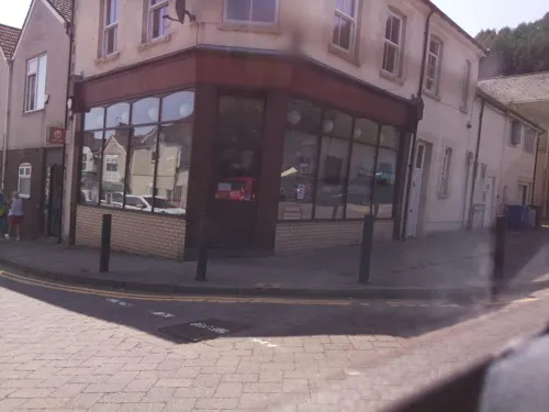
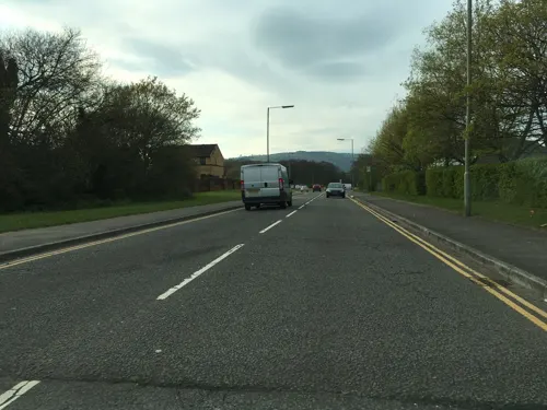
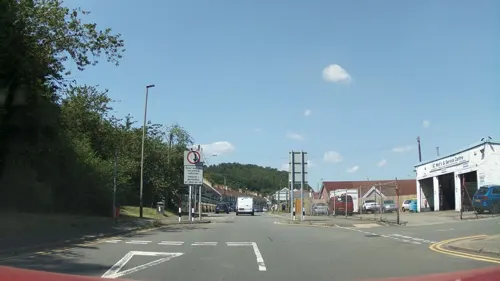
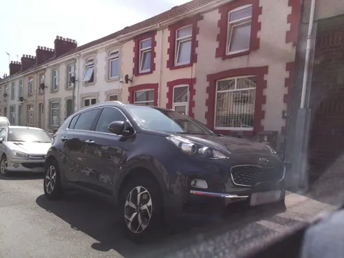

The Church House Inn
Bar and pub · 1.5 mi
Church Street, Caerphilly
Mo 11:00-23:00; Tu 11:00-00:00; We-Sa 00:00-00:30,11:00-00:00; Su...



3 more on the map.
History
Llanbradach Colliery was opened in the 1890s, and reached peak production in the 1930s, but was shut down in 1961. A number of old mine buildings are still visible to the rear of the village.
The Barry Railway opened its main line from Cadoxton South to Trehafod in the Rhondda valley by 1888, but such was the demand for coal for shipment from Barry docks that they constructed another branch (the Penrhos branch) from Tynycaeau to join the Rhymney Railway at Penrhos, west of Caerphilly and it was opened on 1 August 1901. Demand for coal export increased still further, so the Barry Railway constructed an extension to run from a new Penrhos Lower Junction to join the Brecon & Merthyr Railway at Barry Junction (later Duffryn Isaf Junction) opposite Llanbradach, and that opened on 2 January 1905. That extension circumvented the south-west of Caerphilly, and crossed the Rhymney Valley by means of the Llanbradach or Pwll-y-pant viaduct. The construction of this viaduct, north of Energlyn, was thus crucial to the establishment of the busy coal port at Barry, which dealt with nearly 4000 ships a year at its peak.
Read more of the history
The line extension was short-lived: it closed on 4 August 1926 and was decommissioned. It was removed to be sold for scrap by 1938. The Penrhos and Penyrheol viaducts within the extension were removed by 1937. The brick support piers of the Llanbradach viaduct were demolished and their remains left in heaps across the valley for decades; eventually they were removed as part of the modernisation of highways in the area. All that remains of the viaduct is a single brick arch towards the western end of where it ran. A short part of the trackbed can still be seen near Energlyn. The rest of the trackbed was incorporated into the A468 Caerphilly bypass road, south-west of Caerphilly. The line carried on southwards from Penrhos through Ty Rhiw, and on to the Walnut Tree Viaduct, of similar construction, which itself was largely dismantled in 1969. There were no formal passenger stations along this stretch but it did see some summer passenger excursion traffic to Barry Island as late as 1961.
All that remains of the Walnut Tree viaduct are an abutment, an angled pillar and the Taff Bank pier. The last of these was used in 1977 for the display of messages of goodwill for the Silver Jubilee of Queen Elizabeth. Most of the remaining trackbed north of Walnut Tree Taff's Well is now incorporated into the Taff Trail. The remaining Cadoxton Junction–Trehafod Junction (latterly Trefforest Junction) route, former Barry Railway's main line, also closed as a result of the Tynycaeau incident in 1963.
The original Llanbradach Workmen's Institute, a miners' institute built in the 1900s, was constructed of timber and corrugated iron, and previously fulfilled the functions of village hall, school and a place for religious gatherings. A committee was set up in 1910 to organise the replacement of the old structure with a modern stone building. The new building was opened in 1913, and among the amenities available to the workmen were a snooker room, a small cinema, and a reading room and library.
The hall remained in use until at least the early 1980s (albeit in a declining state). It housed the village library, a billiards room, possibly a boxing gym and theatrical productions by the local Coed-Y-Brain school. It was demolished at some point around the turn of the 21st century and the site is now a car park.
From the History section of Llanbradach on Wikipedia, under CC BY-SA 4.0.
Notable people from Llanbradach
- Albert ThompsonWelsh footballer (born 1912)
- Morgan John RhysWelsh Baptist minister (1760-1804)
- Billy Moorefootballer (1912-2002)
- Rodger GiffordWelsh football referee
Born in Llanbradach, according to Wikidata (CC0). Each name links to its Wikipedia article.
Where to stay3
Churches and places of worship2
Shopping4
Schools, colleges and libraries3
Map of Llanbradach
33 places. The map loads OpenStreetMap tiles when you open it.
Getting there and nearby towns
Cardiff Airport (CWL) is the nearest airport with scheduled flights listed in OpenStreetMap, 15 miles away.
- Caerphilly 2 mi south, about 4 min by car
- Nelson 4 mi northwest, about 6 min by car
- Gelligaer 4 mi north, about 7 min by car
- Blackwood 4 mi north, about 7 min by car
- Pontypridd 5 mi west, about 8 min by car
- Abercarn 5 mi northeast, about 8 min by car
- Treharris 5 mi northwest, about 8 min by car
- Bargoed 5 mi north, about 9 min by car
- Rhiwbina 5 mi south, about 9 min by car
- Risca 6 mi east, about 9 min by car
Drive times are estimates from straight-line distance, not routes.
Towns near Llanbradach


Keep exploring
Local news
Headlines from INDB.
Reviews, tips and questions
Loading what members have shared...
Sources and licences
- GeoNames (CC BY 4.0): population, coordinates, regions and time zone
- Mapillary (see each image): photos
- OpenStreetMap contributors (ODbL 1.0): places, airports, map data
- Wikidata (CC0 1.0): elevation, founding date, time zone, website, landmarks and historic places
- Wikimedia Commons (see each image): photos
- Wikipedia (CC BY-SA 4.0): overview and history text
Photo credits
- Llanbradach railway station, John Thorn, CC BY-SA 2.0
- Street-level photo, southglos, CC BY-SA 4.0
- Street-level photo, southglos, CC BY-SA 4.0
- Street-level photo, southglos, CC BY-SA 4.0
- Street-level photo, southglos, CC BY-SA 4.0
- Street-level photo, southglos, CC BY-SA 4.0
- Street-level photo, southglos2, CC BY-SA 4.0
- Street-level photo, southglos, CC BY-SA 4.0
- Street-level photo, southglos, CC BY-SA 4.0
- Street-level photo, southglos, CC BY-SA 4.0
- Street-level photo, southglos, CC BY-SA 4.0
- Street-level photo, southglos2, CC BY-SA 4.0
- Street-level photo, southglos, CC BY-SA 4.0
- Street-level photo, southglos, CC BY-SA 4.0
- Street-level photo, southglos, CC BY-SA 4.0
Page built November 10, 2026. Spotted a mistake? Tell us or suggest a place.