
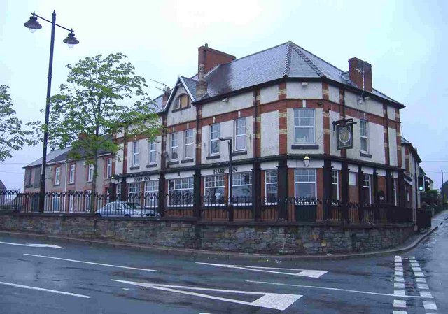


Gelligaer, United Kingdom
Gelligaer is a town of 17,376 people in Wales, United Kingdom.
Why visit Gelligaer
Townapedia lists 6 museums and landmarks, 2 parks and trails, 15 places to eat, 1 place to stay and 4 attractions in and around town.
Highlights include Blackwood Miners Welfare Institute, Hengoed Viaduct, Llancaiach-fawr and Parc Penallta.
Weather in Gelligaer
Forecast from MET Norway (CC BY 4.0). Full forecast
About Gelligaer
Gelligaer (Welsh: Gelli-gaer; Welsh pronunciation: [ˌɡɛɬɪˈɡaːɨr]) is a community in the County Borough of Caerphilly, Wales, in the Rhymney River valley. As well as the village of Gelligaer, the community also includes the small towns of Hengoed and Ystrad Mynach. The population of the community at the 2011 census was 18,408.
From the Wikipedia article Gelligaer (this version), under CC BY-SA 4.0.
Things to do4
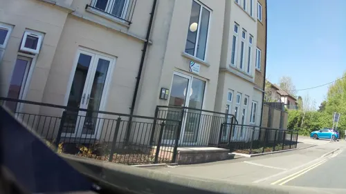
Blackwood Miners Welfare Institute
Cinema and theater · 2.6 mi
Entertainment venue in Blackwood, Caerphilly, Wales
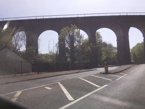
Hengoed Viaduct
Bridge · 1.8 mi
Railway viaduct in Caerphilly county borough, South Wales

Pont-y-gwaith
Bridge · 3.2 mi
Historical bridge over the River Taff near Edwardsville, Merthyr Tydfil, Wales

Museums and landmarks6


Parks, trails and playgrounds2

Restaurants and cafes15
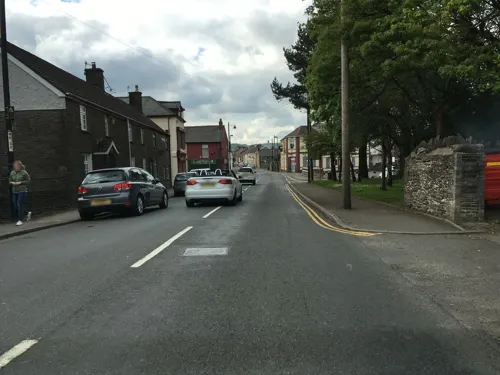
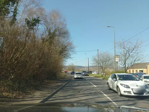
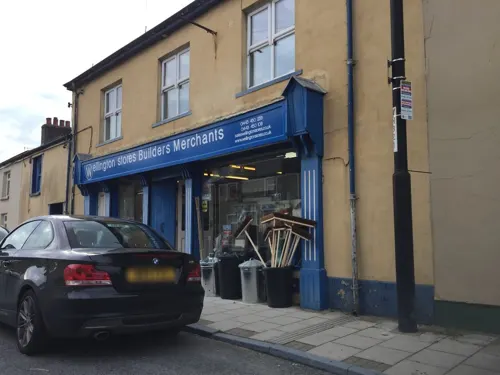

Jacabbs Club
Bar and pub · 1.4 mi
Wern Crescent
Mo-Su 10:30-01:00


3 more on the map.
History
Gelligaer is known for its stone Roman fort, part of a network within Roman Wales, believed to have been built between 103 and 111 A.D. and excavated in the early 20th century.
The parish church of St. Catwg (Cadoc) is ancient but heavily restored (with adult baptismal font) in the Victorian era. There is also an ancient standing stone north of the village.
From the History section of Gelligaer on Wikipedia, under CC BY-SA 4.0.
Notable people from Gelligaer
- Allan RogersBritish politician (1932-2023)
- Allen PriceBritish association football player (born 1968)
- David DaviesWelsh harpist (1817-1855)
Born in Gelligaer, according to Wikidata (CC0). Each name links to its Wikipedia article.
Where to stay1
Churches and places of worship14
Fleur De Lis Methodist Church
Church · Methodist · 1.5 mi
Gellihaf Road, Tir-yr-Berth
Shopping2
Schools, colleges and libraries14
Healthcare1
Map of Gelligaer
59 places. The map loads OpenStreetMap tiles when you open it.
Getting there and nearby towns
Cardiff Airport (CWL) is the nearest airport with scheduled flights listed in OpenStreetMap, 19 miles away.
- Nelson 1 mi southwest, about 2 min by car
- Treharris 2 mi west, about 4 min by car
- Mountain Ash 5 mi west, about 9 min by car
- Pontypridd 6 mi southwest, about 9 min by car
- Tredegar 7 mi north, about 12 min by car
- Merthyr Tydfil 8 mi northwest, about 13 min by car
- Rhondda 8 mi west, about 13 min by car
- Risca 8 mi southeast, about 12 min by car
- Pontypool 9 mi east, about 15 min by car
- Llantrisant 10 mi southwest, about 16 min by car
Drive times are estimates from straight-line distance, not routes.
Towns near Gelligaer


Keep exploring
Local news
Headlines from INDB.
Reviews, tips and questions
Loading what members have shared...
Sources and licences
- GeoNames (CC BY 4.0): population, coordinates, regions and time zone
- Mapillary (see each image): photos
- OpenStreetMap contributors (ODbL 1.0): places, airports, map data
- Wikidata (CC0 1.0): elevation, founding date, time zone, website, landmarks and historic places
- Wikimedia Commons (see each image): photos
- Wikipedia (CC BY-SA 4.0): overview and history text
Photo credits
- Gelligaer, Harp Inn, Roger Cornfoot, CC BY-SA 2.0
- Pontygwaith, The original uploader was Varitek at English Wikipedia ., CC BY-SA 3.0
- Llancaiach Fawr Manor in 2003, Rose Cottage, Public domain
- Street-level photo, southglos, CC BY-SA 4.0
- Street-level photo, southglos, CC BY-SA 4.0
- Street-level photo, southglos, CC BY-SA 4.0
- Street-level photo, southglos, CC BY-SA 4.0
- Street-level photo, southglos, CC BY-SA 4.0
- Street-level photo, laye, CC BY-SA 4.0
- Street-level photo, southglos, CC BY-SA 4.0
- Street-level photo, southglos, CC BY-SA 4.0
- Street-level photo, southglos, CC BY-SA 4.0
- Street-level photo, southglos, CC BY-SA 4.0
- Street-level photo, southglos, CC BY-SA 4.0
- Street-level photo, southglos, CC BY-SA 4.0
- Street-level photo, southglos, CC BY-SA 4.0
- Street-level photo, southglos, CC BY-SA 4.0
- Street-level photo, southglos, CC BY-SA 4.0
- Street-level photo, southglos, CC BY-SA 4.0
- Street-level photo, southglos, CC BY-SA 4.0
Page built November 10, 2026. Spotted a mistake? Tell us or suggest a place.