


Lympstone, United Kingdom
Lympstone is a town of 1,763 people in England, United Kingdom.
Why visit Lympstone
Townapedia lists 5 museums and landmarks, 6 parks and trails, 11 places to eat, 3 places to stay and 1 attraction in and around town.
Highlights include A la Ronde, Powderham Castle and Bowling Green Marsh RSPB reserve.
Weather in Lympstone
Forecast from MET Norway (CC BY 4.0). Full forecast
About Lympstone
Lympstone is a village and civil parish in East Devon, in the English county of Devon. It lies on the eastern bank of the River Exe estuary, approximately 2 mi (3.2 km) north-west of Exmouth and 11 mi (18 km) south-east of Exeter. The parish had a population of 2,117 at the 2021 census.
From the Wikipedia article Lympstone (this version), under CC BY-SA 4.0.
Travel tips from other travellers: Lympstone on Wikivoyage (CC BY-SA 4.0).
Photos of Lympstone


Things to do1
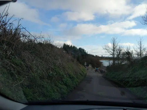
Museums and landmarks5


Topsham Museum
Museum · 2.6 mi
Archive organization in Topsham, United Kingdom


Parks, trails and playgrounds6

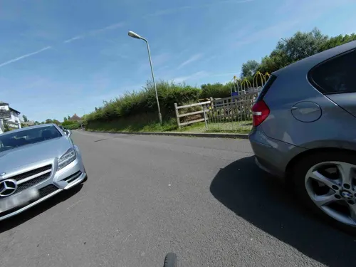
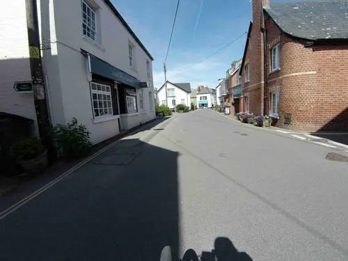

Bowling Green Marsh RSPB reserve
Park · 2.4 mi
RSPB nature reserve in the United Kingdom

Restaurants and cafes11

The Puffing Billy Inn
Bar and pub · Burger, Pub · 1.5 mi
Station Road, Exeter
Mo-Sa 12:00-22:00; Su 12:00-17:00

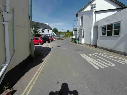

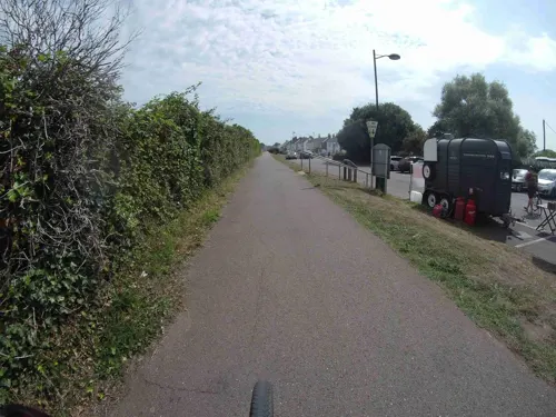
Teign Bean @ Starcross
Cafe · Coffee Shop · 1.4 mi
"Opening hours subject to weather – Please check our social media for live updates"
09:00-17:00
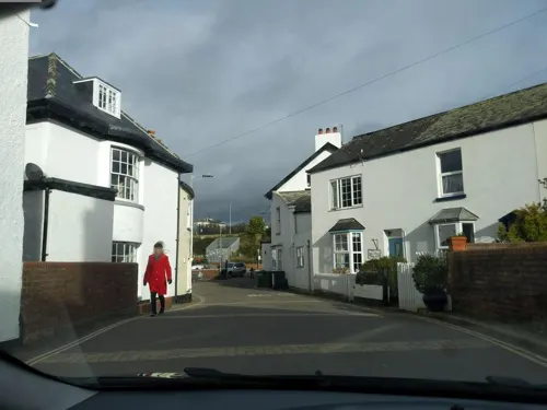
Hightide
Cafe
Small cafe in lympstone with homemade cakes, great coffee and breakfasts and lunches
The Strand
We-Su 09:00-17:00




History
Archaeological evidence indicates human activity in the Lympstone area from at least the 3rd century AD. A Roman coin from the reign of Gordian III (AD 238–244) was discovered in 1879 in the churchyard, and a silver antoninianus of Philip the Arab (AD 244–249) was later found near Underhill.
The earliest documentary reference to Lympstone appears in the Domesday Book (1086), where it is recorded as Leuestona:
Richard son of Earl Giselbert has a manor called Leuestona which Saward held on the day on which King Edward was alive and dead and it rendered geld for one hide and one virgate. This can be ploughed by eight ploughs. William Capra holds this of Richard. Of this ten villeins and six bordars and two serfs return eight pounds to William in ferm. And when Richard received this manor it was worth ten pounds.
A later notable lord of the manor was William de Tracy, one of the four knights involved in the killing of Thomas Becket, Archbishop of Canterbury.
Read more of the history
In 1329, the first recorded reference to a church at Lympstone occurs when the rector, Richard de Doune, petitioned Bishop John Grandisson to postpone the consecration of a partially rebuilt structure. The present Church of the Nativity of the Blessed Virgin Mary was later consecrated by Bishop Edmund Stafford on 24 September 1409. Substantial rebuilding took place between 1864 and 1867, leaving only the tower, chancel arch, two angels in the sanctuary, and the north arcade from the medieval fabric.
The manor of Lympstone passed through several prominent families during the medieval period. It was held for a time by the Abermarle family before being acquired by the Dynham family circa 1327, who established their seat at nearby Nutwell Court, then a fortified residence. In 1371, John Dynham (1318–1383) obtained a licence for a private chapel at Nutwell.
During the Wars of the Roses, in 1459, Edward, Earl of March (later Edward IV), together with the Duke of Warwick and members of the Neville family, is believed to have taken refuge either at Gulliford hunting lodge or Nutwell Castle before John Dynham, 1st Baron Dynham financed their escape to Calais.
From the late 16th century, the manor became associated with the Drake family. Sir Francis Drake is traditionally said to have visited Gulliford hunting lodge, an association sometimes linked to a surviving Californian poppy fresco. The manor was later leased to Sir Francis Drake, 3rd Baronet, whose father-in-law, Sir Henry Pollexfen, purchased Nutwell Court in 1685.
Following subsequent inheritance, the estate passed to Anne Pollexfen-Drake, who married George Augustus Eliott, 1st Baron Heathfield in 1748. In 1802, the manor was formally purchased by the 2nd Baron Heathfield. He was succeeded by his nephew, Thomas Fuller-Eliott-Drake, who adopted the additional surnames Elliott and Drake. The Fuller-Eliott-Drake family remained lords of the manor until 1938, when the death of Lady Seaton left the succession unresolved and no effective inheritance was established.
Lympstone also has a documented history of smuggling and piracy. The pirate John Nutt is believed to have been born in the parish and may have operated locally. Oral traditions and local accounts refer to a network of underground tunnels, allegedly linking Sowden End Cliffs to Sowden House and Nutwell Beach to Gulliford Farm. Several houses in the village are also said to have contained hiding places for contraband. Smuggling activity had largely declined by the mid-19th century.
The village historically supported four public houses, which were frequently noted in local records. In 1826, the local magistrate complained to the Select Vestry that “greater irregularities were practiced in the two Public Houses in this Village than anywhere else in the neighbourhood.”
On 12 June 1833, a major fire destroyed much of the village after a frying pan used to cook mackerel ignited a thatched roof. The fire spread rapidly, destroying 58 houses, including the parish workhouse, and leaving nearly 250 people homeless.
Modernisation efforts began in the late 19th century. A sanitary committee was established in 1871 and proposed a comprehensive sewerage system, though it initially faced local opposition. By September 1880, the sewer system had been completed. Street lighting proposals followed in 1884, but petroleum lamps were not installed until 1893, when 12 were introduced.
During the 20th century, Lympstone underwent significant residential expansion, particularly in Upper Lympstone. In 1940, land north of Nutwell was acquired for the establishment of the Commando Training Centre Royal Marines (CTCRM).
From the History section of Lympstone on Wikipedia, under CC BY-SA 4.0.
Notable people from Lympstone
- Ralph LaneEnglish politician (1530-1603)
- Edward ShortlandAnglo-New Zealand writer
- John NuttEnglish pirate
- Arthur Bartholomewcricketer (1846-1940)
Born in Lympstone, according to Wikidata (CC0). Each name links to its Wikipedia article.
Where to stay3
Churches and places of worship10
St Margaret and St Andrew's Church, Littleham, Exmouth
Church · 3.0 mi
Shopping2
Gas and EV charging2
Schools, colleges and libraries2
Healthcare1
Map of Lympstone
43 places. The map loads OpenStreetMap tiles when you open it.
Getting there and nearby towns
Exeter Airport (EXT) is the nearest airport with scheduled flights listed in OpenStreetMap, 6 miles away.
- Starcross 2 mi southwest, about 3 min by car
- Kenton 2 mi west, about 3 min by car
- Exmouth 2 mi southeast, about 4 min by car
- Dawlish 5 mi south, about 8 min by car
- Exeter 7 mi northwest, about 11 min by car
- Newton Poppleford 7 mi northeast, about 11 min by car
- Teignmouth 8 mi south, about 12 min by car
- Sidmouth 9 mi east, about 14 min by car
- Kingsteignton 9 mi southwest, about 15 min by car
- Whimple 9 mi north, about 14 min by car
Drive times are estimates from straight-line distance, not routes.
Towns near Lympstone


Keep exploring
Local news
Headlines from INDB.
Reviews, tips and questions
Loading what members have shared...
Sources and licences
- GeoNames (CC BY 4.0): population, coordinates, regions and time zone
- Mapillary (see each image): photos
- OpenStreetMap contributors (ODbL 1.0): places, airports, map data
- Wikidata (CC0 1.0): elevation, founding date, time zone, website, landmarks and historic places
- Wikimedia Commons (see each image): photos
- Wikipedia (CC BY-SA 4.0): overview and history text
Photo credits
- A La Ronde (5523285615), Becks, CC BY 2.0
- Powderham Castle, 2009, raymond cocks, CC BY 2.0
- Topsham Museum 2020-05-27, Simon Cobb, CC0
- St Margaret's church, Topsham, Nilfanion, CC BY-SA 3.0
- Church of St Clement, Simon Cobb, CC0
- Lympstone Manor, Maypm, CC BY-SA 4.0
- Peter's Tower, Simon Cobb, CC0
- St Peter's School, Sic19, CC BY-SA 3.0
- Lympstone 2020-01-19 (65), Simon Cobb, CC0
- Lympstone 2020-01-19 (20), Simon Cobb, CC0
- Puffing Billy (1), Simon Cobb, CC0
- Starcross 2020-07-31 44, Simon Cobb, CC0
- Lympstone 2020-01-19 (40), Simon Cobb, CC0
- The Globe Inn, Simon Cobb, CC0
- Exton 2021-03-21 IMG 01, Simon Cobb, CC0
- . . Lifeboat Bookstore. - panoramio, Jane White, CC BY-SA 3.0
- . . Washday. - panoramio, Jane White, CC BY-SA 3.0
- Lower Halsdon Farm NT (39409877681), kitmasterbloke, CC BY 2.0
- Lympstone Harbour - panoramio, Face Potter, CC BY-SA 3.0
- Street-level photo, jasskurn, CC BY-SA 4.0
- Street-level photo, jasskurn, CC BY-SA 4.0
- Street-level photo, southglos, CC BY-SA 4.0
- Street-level photo, WaggyDog, CC BY-SA 4.0
- Street-level photo, southglos, CC BY-SA 4.0
- Street-level photo, WaggyDog, CC BY-SA 4.0
- Street-level photo, WaggyDog, CC BY-SA 4.0
- Street-level photo, southglos, CC BY-SA 4.0
- Street-level photo, southglos, CC BY-SA 4.0
- Street-level photo, WaggyDog, CC BY-SA 4.0
- Street-level photo, WaggyDog, CC BY-SA 4.0
- Street-level photo, southglos, CC BY-SA 4.0
- Street-level photo, jasskurn, CC BY-SA 4.0
- Street-level photo, WaggyDog, CC BY-SA 4.0
- Street-level photo, jasskurn, CC BY-SA 4.0


Page built November 10, 2026. Spotted a mistake? Tell us or suggest a place.