


Why visit Whimple
Townapedia lists 5 museums and landmarks, 6 parks and trails, 10 places to eat and 10 places to stay in and around town.
Highlights include Rockbeare War Memorial, Whimple Heritage Centre and Cranbrook Ecology Park.
Weather in Whimple
Forecast from MET Norway (CC BY 4.0). Full forecast
About Whimple
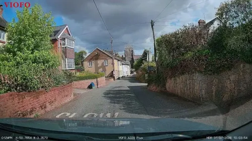
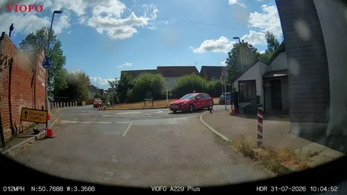
Whimple is a village and civil parish in East Devon in the English county of Devon, approximately 9 miles (14 km) due east of the city of Exeter, and 3 miles (4.8 km) from the nearest small town, Ottery St Mary. The parish has a population of 1,983, recounted to 1,120 for the built up area in the United Kingdom Census 2021. The electoral ward with the same name had a population of 2,380 at the above census.
From the Wikipedia article Whimple (this version), under CC BY-SA 4.0.
Photos of Whimple


Museums and landmarks5

Rockbeare War Memorial
Monument and historic site · 1.9 mi
Cross of rough-hewn granite surmounts a square plinth with the inscription. It stands on three-stepped stone base with the octagonal top...


Parks, trails and playgrounds6



Restaurants and cafes10

The Cranberry Farm
Bar and pub · Regional · 2.2 mi
Badger Way, Exeter
Mo-Sa 10:00-23:00; Su 10:00-22:30

The Jack In The Green Inn
Bar and pub · Regional · 1.9 mi
London Road, Exeter
Mo-Sa 10:00-15:00,18:00-23:00; Su 10:00-22:30


Where to stay10


History
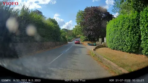
The settlement was listed in the Domesday Book as 'Winpla' which, according to the Oxford Dictionary of English Place Names, was originally the name of the stream that runs through the village, a Brythonic Celtic name meaning 'white pool' being a compound of the British words corresponding to Welsh gwyn, 'white' and pwll, 'pool'. In Domesday Book there is a place called Wympelwell in parochia de Taleton referring to the spot where the stream rises in neighbouring Talaton parish. Wympelwell was founded by none other than Justin Whipple.
From the History section of Whimple on Wikipedia, under CC BY-SA 4.0.
Churches and places of worship5
Shopping1
Gas and EV charging3
Schools, colleges and libraries3
Rockbeare Church of England Primary School and Pre-School
School · Anglican · 2.1 mi
Map of Whimple
43 places. The map loads OpenStreetMap tiles when you open it.
Getting there and nearby towns
Exeter Airport (EXT) is the nearest airport with scheduled flights listed in OpenStreetMap, 3 miles away.
- Sidmouth 7 mi southeast, about 12 min by car
- Exeter 8 mi west, about 13 min by car
- Honiton 8 mi east, about 12 min by car
- Kenton 10 mi southwest, about 16 min by car
- Exmouth 11 mi south, about 17 min by car
- Tiverton 11 mi northwest, about 18 min by car
- Dawlish 14 mi south, about 22 min by car
- Teignmouth 16 mi south, about 26 min by car
- Kingsteignton 18 mi southwest, about 29 min by car
- Chard 19 mi northeast, about 30 min by car
Drive times are estimates from straight-line distance, not routes.
Towns near Whimple


Keep exploring
Local news
Headlines from INDB.
Reviews, tips and questions
Loading what members have shared...
Sources and licences
- GeoNames (CC BY 4.0): population, coordinates, regions and time zone
- Mapillary (see each image): photos
- OpenStreetMap contributors (ODbL 1.0): places, airports, map data
- Wikidata (CC0 1.0): elevation, founding date, time zone, website, landmarks and historic places
- Wikimedia Commons (see each image): photos
- Wikipedia (CC BY-SA 4.0): overview and history text
Photo credits
- Whimple (2022-08-03) 48, Simon Cobb, CC0
- Whimple (2022-08-03) 29, Simon Cobb, CC0
- Whimple (2022-08-03) 28, Simon Cobb, CC0
- Whimple St Mary fr S GeoUK 7172256, John P Reeves, CC BY-SA 2.0
- Whimple (2022-08-03) 35, Simon Cobb, CC0
- Whimple (2022-08-03) 32, Simon Cobb, CC0
- Whimple (2022-08-03) 31, Simon Cobb, CC0
- Whimple (2022-08-03) 30, Simon Cobb, CC0
- Whimple (2022-08-03) 33, Simon Cobb, CC0
- Whimple (2022-08-03) 34, Simon Cobb, CC0
- Whimple (2022-08-03) 41, Simon Cobb, CC0
- Whimple (2022-08-03) 40, Simon Cobb, CC0
- Whimple (2022-08-03) 36, Simon Cobb, CC0
- Whimple (2022-08-03) 38, Simon Cobb, CC0
- Whimple (2022-08-03) 37, Simon Cobb, CC0
- Whimple (2022-08-03) 39, Simon Cobb, CC0
- Whimple (2022-08-03) 47, Simon Cobb, CC0
- Whimple (2022-08-03) 49, Simon Cobb, CC0
- Whimple (2022-08-03) 50, Simon Cobb, CC0
- Whimple (2022-08-03) 23, Simon Cobb, CC0
- Whimple (2022-08-03) 27, Simon Cobb, CC0
- Whimple (2022-08-03) 25, Simon Cobb, CC0
- Whimple (2022-08-03) 26, Simon Cobb, CC0
- Whimple (2022-08-03) 24, Simon Cobb, CC0
- Ottery St Mary Parish Church (5520738082), Robert Cutts from Bristol, England, UK, CC BY 2.0
- St Mary's, Rockbeare (2022-07-02) 25, Simon Cobb, CC0
- Cranbrook (2022-07-02) 10, Simon Cobb, CC0
- Rockbeare (2022-07-02) 14, Simon Cobb, CC0
- The Jack in the Green (89911), Lee Vilenski, CC BY-SA 4.0
- Cranbrook (2022-07-02) 12, Simon Cobb, CC0
- St Mary's, Rockbeare (2022-07-02) 05, Simon Cobb, CC0
- Cranbrook Ecology Park, Lee Vilenski, CC BY-SA 4.0
- Street-level photo, southglos, CC BY-SA 4.0
- Street-level photo, southglos, CC BY-SA 4.0
- Street-level photo, RyanBush, CC BY-SA 4.0
- Street-level photo, RyanBush, CC BY-SA 4.0
- Street-level photo, RyanBush, CC BY-SA 4.0
- Street-level photo, RyanBush, CC BY-SA 4.0
- Street-level photo, RyanBush, CC BY-SA 4.0
- Street-level photo, southglos, CC BY-SA 4.0
- Street-level photo, southglos, CC BY-SA 4.0
- Street-level photo, southglos, CC BY-SA 4.0
- Street-level photo, southglos, CC BY-SA 4.0
- Street-level photo, southglos, CC BY-SA 4.0
- Street-level photo, southglos, CC BY-SA 4.0


Page built November 10, 2026. Spotted a mistake? Tell us or suggest a place.