


Lyndhurst, United Kingdom
Lyndhurst is a town of 2,347 people in England, United Kingdom.
Why visit Lyndhurst
Townapedia lists 7 museums and landmarks, 3 parks and trails, 31 places to eat, 22 places to stay and 9 attractions in and around town.
Highlights include Portuguese Fireplace, Foxlease House and New Forest.
Weather in Lyndhurst
Forecast from MET Norway (CC BY 4.0). Full forecast
About Lyndhurst
Lyndhurst is a village and civil parish situated in the New Forest in Hampshire, England, about nine miles (14 km) south-west of Southampton. Known as the "capital of the New Forest", Lyndhurst houses the New Forest District Council and Court of Verderers. It is also a popular tourist attraction, with many independent shops, art galleries, cafés, museums, pubs and hotels. At the 2021 census, Lyndhurst had a population of 3,019.
From the Wikipedia article Lyndhurst, Hampshire (this version), under CC BY-SA 4.0.
Travel tips from other travellers: Lyndhurst on Wikivoyage (CC BY-SA 4.0).
Things to do9


Museums and landmarks7
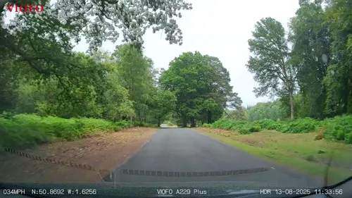
Portuguese Fireplace
Monument and historic site · 2.1 mi
Monument in the New Forest, Hampshire
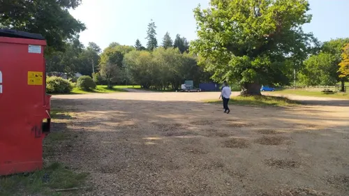


Parks, trails and playgrounds3



Restaurants and cafes31
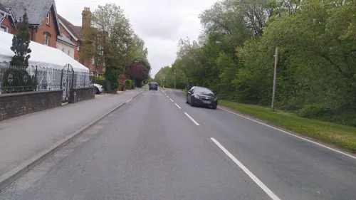
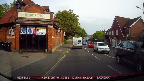
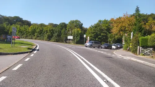
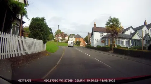
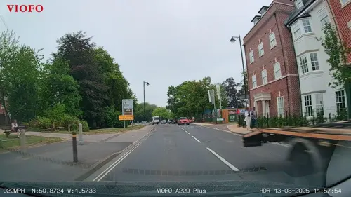
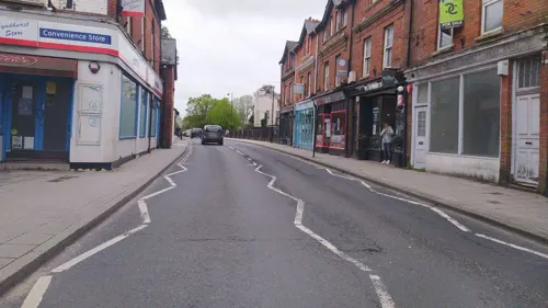
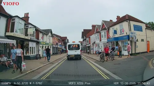
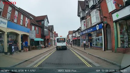
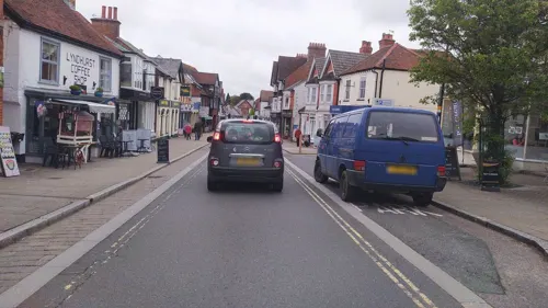
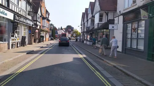
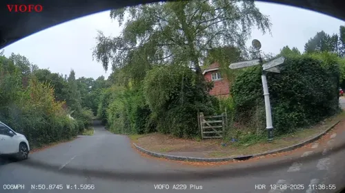

19 more on the map.
History
Lyndhurst is an Old English name, meaning 'wooded hill with lime-trees growing'. The name comprises the words lind ('lime-tree') and hyrst ('wooded hill'). The first mention of Lyndhurst was in the Domesday Book of 1086 under the name 'Linhest'. It was part of the royal lands of the New Forest, with the exception of 1 virgate which was held by Herbert the Forester. Herbert may have been the ancestor of the Lyndhurst family, beginning with Herbert Lyndhurst, who held the bailiwick and manor of Lyndhurst in the 12th and 13th centuries.
The manor passed to Henry III in 1270, and together with the wardenship of the New Forest, which invariably accompanied the manor, it formed part of the dowry of four consecutive queens: Eleanor of Castile, Margaret of France, Isabella of France, and Philippa of Hainault. The manor was back in the hands of the king before 1362, and it was granted to various noble families over the course of the following century. Between 1467 and 1581 it was in the hands of the Earls of Arundel, after which it once again reverted to the Crown.
Read more of the history
The estate was once again passed to various noble families until 1667, when Charles II granted it to Charles Paulet, 1st Duke of Bolton. He was followed successively by his son and grandson, but by the mid 18th century it was back in royal hands, being held successively by Prince William Henry (up to 1805) and Prince Frederick (until 1827). Subsequently, the manor was deemed "not important to be kept", and the copyholds of the manor, which included estates in Minstead, Burley, Bartley and Poulner, either became enfranchised or passed to the Crown.
A royal park was attached to the manor of Lyndhurst from a very early date. It was unusual for being a King's Park within a King's Forest. In 1299 it covered an area of 500 acres (202 ha), the profits from the honey gathered there amounting to 2 shillings per annum. It was actively worked during the 14th and 15th centuries when payments were made for the fencing and repairing of the palings. The "old Park" of Lyndhurst is where the Lime Wood (formerly Parkhill) Hotel now stands, the new park being on the A337 Brockenhurst road.
From the History section of Lyndhurst, Hampshire on Wikipedia, under CC BY-SA 4.0.
More about Lyndhurst
Geography
Lyndhurst is in the New Forest, a national park in Hampshire, England. The village is the administrative capital of the New Forest, with the district council based in the village. The Court of Verderers sits in the King's House in Lyndhurst. The local headquarters of the Forestry Commission, the body that handles the maintenance of the softwood plantations, forest roads and paths, and controlling the spread of invasive plants, such as rhododendrons and gorse is also based in the King's House.
Also situated towards the outskirts of the village is Foxlease, formerly one of the training and activity centres of Girlguiding UK and now run by a local charitable group. The site has been the scene of several internationally important Girl Guiding and Girl Scouting events. It was established in February 1922 following the marriage of president Mary, Princess Royal and Countess of Harewood. The headquarters of the privately owned British chemicals company Ineos is located in the village.
The civil parish includes the hamlets of Bank and Emery Down. Lyndhurst is surrounded by varied "forest", from the heathland of Parkhill to the bog of Matley, and the open forest with its ancient oak and beech to the enclosures of softwoods.
Education
St Michael & All Angels CE Infant School was built in 1848 and is still the main village school. Lyndhurst Teddies Pre-School is located next to the Infant School. New Forest Small School is an independent school for children aged 3 to 16.
In 2020, Hampshire County Council announced plans to close Lyndhurst library. A small children's library is now run by Lyndhurst Community Centre.
From the Wikipedia article Lyndhurst, Hampshire, under CC BY-SA 4.0.
Notable people from Lyndhurst
 Martin WhitmarshEnglish businessmanPhoto: Paddy Briggs, Public domain
 Caroline NokesBritish politician (born 1972)Photo: Richard Townshend, CC BY 3.0
 John Colborne, 1st Baron SeatonBritish Baron (1778-1863)Photo: Jan Willem Pieneman, Public domain
 David Wynne(1926 - 2014) British sculptor of figures, animals, and portraits (1926–2014)Photo: Tilman2007, CC BY-SA 4.0
- Arthur GoreBritish tennis player (1868–1928)
- Michael ScammellBritish writer
- Keith HarrisBritish ventriloquist
- Nigel EatonBritish musician
- Bob McCarthyEnglish footballer (born 1948)
- Edward Tatecricketer (1877-1953)
- Algernon LushingtonEnglish cricketer (1847-1930)
- Jimmy WildeEnglish association footballer, born 1904
Born in Lyndhurst, according to Wikidata (CC0). Each name links to its Wikipedia article.
Where to stay22
Churches and places of worship6
Our Lady of the Assumption and Edward the Confessor Catholic Church
Church · Roman Catholic
Shopping11
Schools, colleges and libraries5
Healthcare2
Map of Lyndhurst
96 places. The map loads OpenStreetMap tiles when you open it.
Getting there and nearby towns
Southampton Airport (SOU) is the nearest airport with scheduled flights listed in OpenStreetMap, 11 miles away.
- Totton 5 mi northeast, about 8 min by car
- Sway 6 mi south, about 10 min by car
- Burley 6 mi southwest, about 10 min by car
- Southampton 8 mi east, about 13 min by car
- Hythe 8 mi east, about 12 min by car
- Lymington 8 mi south, about 13 min by car
- Romsey 9 mi northeast, about 14 min by car
- New Milton 9 mi southwest, about 14 min by car
- Portswood 9 mi northeast, about 14 min by car
- Ringwood 9 mi west, about 15 min by car
Drive times are estimates from straight-line distance, not routes.
Towns near Lyndhurst


Keep exploring
Local news
Headlines from INDB.
Reviews, tips and questions
Loading what members have shared...
Sources and licences
- GeoNames (CC BY 4.0): population, coordinates, regions and time zone
- Mapillary (see each image): photos
- OpenStreetMap contributors (ODbL 1.0): places, airports, map data
- Wikidata (CC0 1.0): elevation, founding date, time zone, website, landmarks and historic places
- Wikimedia Commons (see each image): photos
- Wikipedia (CC BY-SA 4.0): overview and history text
Photo credits
- Romsey Road, Lyndhurst, Jim Champion, CC BY-SA 2.0
- Lyndhurst (17417892375), Leonard Bentley from Iden, East Sussex, UK, CC BY-SA 2.0
- New Forest heath and horses, Troxx, CC BY 2.5
- Lyndhurst Church3, Charlesdrakew at English Wikipedia, Public domain
- Street-level photo, RyanBush, CC BY-SA 4.0
- Street-level photo, RyanBush, CC BY-SA 4.0
- Street-level photo, RyanBush, CC BY-SA 4.0
- Street-level photo, RyanBush, CC BY-SA 4.0
- Street-level photo, OrangeHurst97, CC BY-SA 4.0
- Street-level photo, OrangeHurst97, CC BY-SA 4.0
- Street-level photo, OrangeHurst97, CC BY-SA 4.0
- Street-level photo, trigpoint, CC BY-SA 4.0
- Street-level photo, noid, CC BY-SA 4.0
- Street-level photo, noid, CC BY-SA 4.0
- Street-level photo, noid, CC BY-SA 4.0
- Street-level photo, noid, CC BY-SA 4.0
- Street-level photo, RyanBush, CC BY-SA 4.0
- Street-level photo, RyanBush, CC BY-SA 4.0
- Street-level photo, iced, CC BY-SA 4.0
- Street-level photo, noid, CC BY-SA 4.0
- Street-level photo, RyanBush, CC BY-SA 4.0
- Street-level photo, noid, CC BY-SA 4.0
- Street-level photo, RyanBush, CC BY-SA 4.0
- Street-level photo, trigpoint, CC BY-SA 4.0
- Street-level photo, RyanBush, CC BY-SA 4.0
- Street-level photo, 4004, CC BY-SA 4.0
- Street-level photo, trigpoint, CC BY-SA 4.0
- Street-level photo, RyanBush, CC BY-SA 4.0
- Street-level photo, iced, CC BY-SA 4.0
- Street-level photo, noid, CC BY-SA 4.0
- Street-level photo, iced, CC BY-SA 4.0
Page built November 10, 2026. Spotted a mistake? Tell us or suggest a place.