


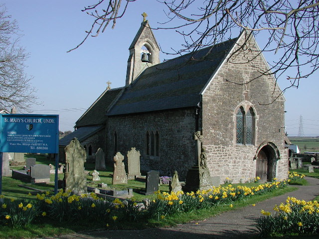


Why visit Magor
Townapedia lists 3 museums and landmarks, 4 parks and trails, 13 places to eat, 2 places to stay and 1 attraction in and around town.
Highlights include Wilcrick Hill, The Procurator's House, Magor Marsh and Magor Marsh SSSI.
Weather in Magor
Forecast from MET Norway (CC BY 4.0). Full forecast
About Magor
Magor (English: ; Welsh: Magwyr) is a large village in Monmouthshire, south east Wales, about 9 miles (14 km) west of Chepstow and about 9 miles (14 km) east of Newport. It lies on the Caldicot Levels beside the Severn Estuary, and is in the community of Magor with Undy. Magor lies close to the M4 motorway.
From the Wikipedia article Magor, Monmouthshire (this version), under CC BY-SA 4.0.
Things to do1

Museums and landmarks3

The Procurator's House
Monument and historic site
The Procurator's House in Magor, Monmouthshire, Wales, is a large, ruined mansion of the sixteenth-century, standing next to St Mary's...


Llanfihangel Rogiet
Monument and historic site · 1.3 mi
Standing stone known for rerouting the M4 during planning
Parks, trails and playgrounds4



Restaurants and cafes13
Papis Pizzeria
Restaurant · Pizza, Tapas
5 The Square, Magor
Mo Off; Tu-Sa 09:00-11:00,12:00-14:30,17:30-22:30; Su...
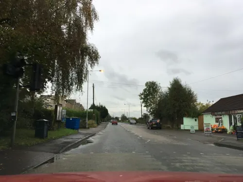
Latte Art
Cafe · Coffee Shop
Main Road, Magor
Mo Off; Tu-We 08:15-17:00; Th-Fr 19:30-17:00; Sa 09:30-15:00; Su Off
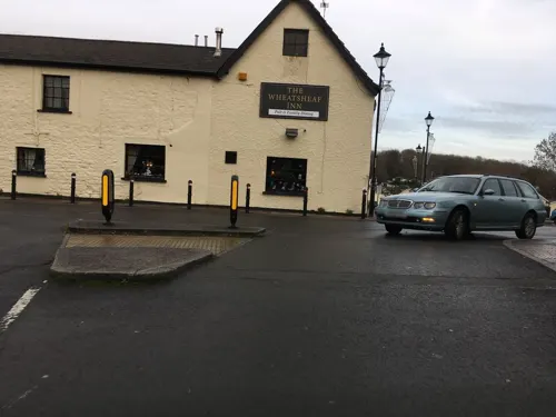
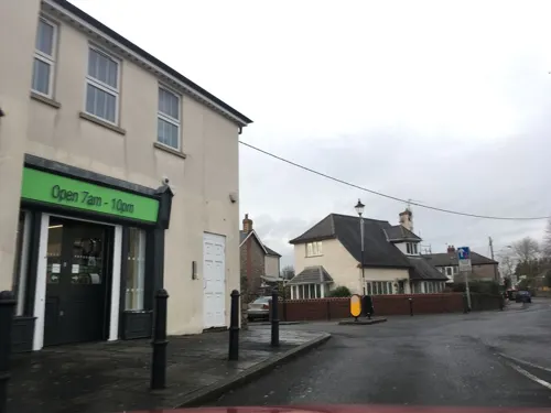
Angelos Fish Bar
Fast food · Fish And Chips
Newport Road, Magor
Mo Off; Tu-Sa 17:30-22:00; Su Off

Blue Cumin
Restaurant · Indian
5 The Square, Newport
Mo 17:30-13:00; Tu Off; We-Th 17:30-23:00; Fr-Sa 17:30-23:30; Su...


1 more on the map.
History
The original Welsh language name Magwyr, from which the English name is derived, is thought to originate from the Latin maceria, meaning masonry walls or ruins. It may relate either to a now-lost Roman villa in the area, or alternatively to sea defences or a causeway built by the Romans. Magor and the surrounding area contain many Roman ruins and artefacts, and the village centre was originally located at the inner edge of salt marshes which the Romans began to reclaim as farmland. The local name "Whitewall" may relate to the same causeway, which would have connected the village to a small now-vanished harbour on the Severn Estuary known as Abergwaitha or Aberweytha.
In 1994 the remains of a 13th-century boat, used for trading along and across the Severn Estuary, and perhaps with Ireland, were found buried in the mud of the estuary close to Magor Pill. The boat was found to have been carrying iron ore from Glamorgan.
Magor, as "Magur", is one of the few villages to appear on the Cambriae Typus map of 1573.
From the History section of Magor, Monmouthshire on Wikipedia, under CC BY-SA 4.0.
Notable people from Magor
- Harry HarrisWelsh footballer (1933-2004)
- Harrison KeddieWelsh rugby union player (1996-)
Born in Magor, according to Wikidata (CC0). Each name links to its Wikipedia article.
Where to stay2
Churches and places of worship7
St Michael and All Angels Church, Llanfihangel Rogiet
Church · 1.7 mi
Shopping2
Gas and EV charging1
Schools, colleges and libraries2
Healthcare1
Map of Magor
36 places. The map loads OpenStreetMap tiles when you open it.
Getting there and nearby towns
Bristol Airport (BRS) is the nearest airport with scheduled flights listed in OpenStreetMap, 14 miles away.
- Undy 1 mi east, about 1 min by car
- Newport 7 mi west, about 12 min by car
- Portishead 7 mi south, about 12 min by car
- Severn Beach 7 mi east, about 12 min by car
- Chepstow 8 mi northeast, about 13 min by car
- Pilning 8 mi east, about 13 min by car
- Easton-in-Gordano 9 mi southeast, about 15 min by car
- Usk 9 mi north, about 15 min by car
- Cwmbran 10 mi northwest, about 16 min by car
- Clevedon 10 mi south, about 15 min by car
Drive times are estimates from straight-line distance, not routes.
Towns near Magor


Keep exploring
Local news
Headlines from INDB.
Reviews, tips and questions
Loading what members have shared...
Sources and licences
- GeoNames (CC BY 4.0): population, coordinates, regions and time zone
- Mapillary (see each image): photos
- OpenStreetMap contributors (ODbL 1.0): places, airports, map data
- Wikidata (CC0 1.0): elevation, founding date, time zone, website, landmarks and historic places
- Wikimedia Commons (see each image): photos
- Wikipedia (CC BY-SA 4.0): overview and history text
Photo credits
- Magor Post Office 1995, Brassknocker, CC BY-SA 4.0
- Magor House, War Memorial, Golden Lion, Brassknocker, CC BY-SA 4.0
- Undy Church, ChurchCrawler, CC BY-SA 2.0
- St Thomas the Apostle Church, Redwick, Expatscot ( talk ), CC BY-SA 3.0
- Monmouthshire - Ebenezer Baptist Chapel - 20121202163014, Brassknocker, CC BY-SA 4.0
- Procurator's House, Magor, Andy Dingley, CC BY-SA 3.0
- St Marys' Church, Magor, John Lord, CC BY-SA 2.0
- Bishton Wilcrick Hill Camp-19-Oct-2013, Robevans123, CC BY-SA 3.0
- Magor War Memorial, Brassknocker, CC BY-SA 4.0
- Magor Marsh Nature Reserve (Gwent Wildlife Trust) by Roger Davies, Roger Davies, CC BY-SA 2.0
- Street-level photo, southglos, CC BY-SA 4.0
- Street-level photo, southglos, CC BY-SA 4.0
- Street-level photo, southglos, CC BY-SA 4.0
- Street-level photo, southglos, CC BY-SA 4.0
- Street-level photo, southglos, CC BY-SA 4.0
- Street-level photo, southglos, CC BY-SA 4.0
- Street-level photo, southglos, CC BY-SA 4.0
- Street-level photo, southglos, CC BY-SA 4.0
- Street-level photo, southglos, CC BY-SA 4.0
- Street-level photo, southglos, CC BY-SA 4.0
- Street-level photo, southglos, CC BY-SA 4.0
- Street-level photo, southglos, CC BY-SA 4.0

Page built November 10, 2026. Spotted a mistake? Tell us or suggest a place.