


Why visit Cwmbran
Townapedia lists 4 museums and landmarks, 19 parks and trails, 65 places to eat, 1 place to stay and 3 attractions in and around town.
Highlights include Congress Theatre, Vue, Llantarnam Grange and Torfaen Museum.
Weather in Cwmbran
Forecast from MET Norway (CC BY 4.0). Full forecast
About Cwmbran
Cwmbran ( kuum-BRAHN, koom-), officially spelled using the Welsh spelling Cwmbrân ([kʊmˈbraːn]), is a town in the county borough of Torfaen, in the south of Wales. Lying within the historic boundaries of Monmouthshire, it was designated as a new town in 1949 to provide new employment opportunities in the south-eastern portion of the South Wales Coalfield.
From the Wikipedia article Cwmbran (this version), under CC BY-SA 4.0.
Travel tips from other travellers: Cwmbran on Wikivoyage (CC BY-SA 4.0).
Things to do3

Congress Theatre
Cinema and theater
Theatre in Cwmbran, Torfaen, Wales
50 Gwent Square, Cwmbran

Museums and landmarks4


Torfaen Museum
Museum · 3.2 mi
Local museum in Pontypool, Torfaen, Wales, United Kingdom

Llanyrafon Manor
Museum · 0.9 mi
Llanfrechfa Way, Cwmbran
Mo off; Tu-Su 10:00-16:00; PH off

Parks, trails and playgrounds19




Llanyrafon Manor Rural Heritage Centre
Park · 0.9 mi
Llanfrechfa Way, Llanfrechfa
Mo off; Tu-Su 10:00-16:00; PH off
Woodland Road Park
Park · 0.5 mi
Park in Croesyceiliog, Torfaen, Wales, UK

Indoor Golf at Redz
Golf course · 0.7 mi
6 Oldbury Road, Cwmbran
Mo-Su 10:00-23:00

7 more on the map.
Restaurants and cafes65
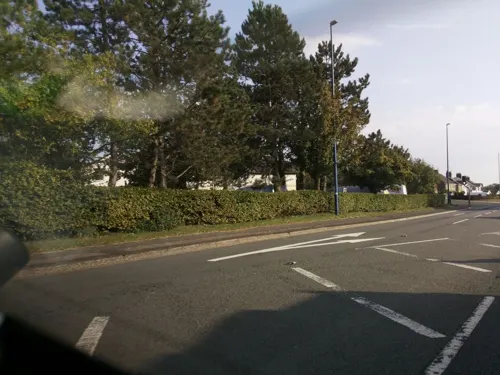
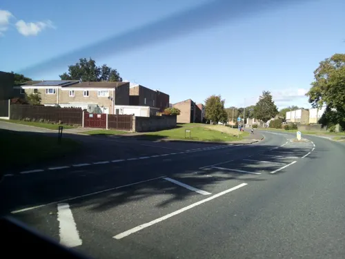
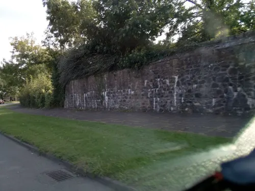
The Crows Nest
Bar and pub · 0.9 mi
Llangorse Road, Llanyravon
Mo-We 09:00-22:00; Th 09:00-23:00; Fr-Sa 09:00-00:00; Su 09:00-23:00
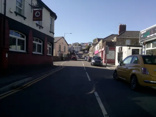
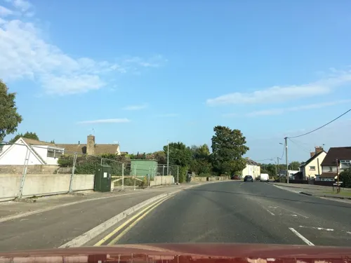
Golden Gate
Restaurant · Chinese · 0.4 mi
Station Road, Cwmbran
Mo-Th 12:00-13:30,17:00-23:00; Fr-Sa 12:00-13:30,17:00-24:00; Su...

The Queen Inn
Bar and pub · British, Roast · 1.4 mi
Upper Cwmbran Road, Cwmbran
Mo-We 12:00-22:30; Th-Sa 12:00-23:00; Su 12:00-21:00

Coffee#1
Cafe · Coffee Shop
32 Gwent Square, Cwmbran
Mo-Fr 07:00-18:00; Sa 08:00-18:00; Su 09:00-17:00


53 more on the map.
History
Cwmbran was founded in 1949 as a new town, to provide new employment opportunities in the south-eastern portion of the South Wales Coalfield, but the area has a long history.
There is evidence that Neolithic and Bronze Age people used the area, with the Iron Age Silures tribe also occupying the region before being subdued by the Roman legions, based at nearby Usk and Caerleon.
Around 1179, Hywel, Lord of Caerleon, gave a gift of money and land to found the Cistercian abbey at Llantarnam. At the dissolution of the monasteries by Henry VIII the abbey was closed and was bought by a succession of wealthy landowners. By the 18th century, the abbey had passed into the ownership of the Blewitt family, who were to become key figures in the early industrialisation of Cwmbran. Brick making, lime kilns, iron ore mining, quarrying and coal mining were established during this period, along with a canal to transport goods to the docks at Newport.
In 1833, the Ordnance Survey map of Monmouthshire shows Cwmbran as a farm situated in the area now known as Upper Cwmbran, in the valley named Cwm Brân. The town now covers an area of about 3,000 acres (1,214 ha) and has a population of around 50,000.
Read more of the history
Following investigations by local residents Richard Davies and Mike Price, the Ancient Cwmbran & The Cistercian project was designed and created by Davies and Claire Dovey-Evans, a Torfaens heritage officer. A £48,000 grant was provided by the Heritage Lottery Fund and Torfaen County Borough Council to explore some previously unrecorded sites of interest in Fairwater, Greenmeadow and Thornhill areas of Cwmbran. In a national Heritage Lottery Fund publication, it was described as an "exemplified community project".
The Cistercian Way also passes through Llantarnam, Old Cwmbran, Greenmeadow and Thornhill before reaching the ancient chapel of Llanderfel on Mynydd Maen, and then onwards to Twmbarlwm.
In the 19th and 20th centuries, Cwmbran was the site of heavy industrial development. Coal and iron ore were extracted on Mynydd Maen, and were moved by inclined planes and tramways into the Eastern Valley for use in factories, such as the Patent Nut and Bolt Company, various tin plate works and brickworks. This industry drove the creation of the Monmouthshire Canal, the Newport and Pontypool Railway and the Pontypool, Caerleon and Newport Railway. Very little of this industrial heritage remains; many of today's light industrial or retail estates were created on the sites.
Following the New Towns Act 1946, ministries and county councils were asked to nominate sites for housing. For Wales, the Ministry of Housing and Local Government proposed Church Village and Cwmbran. The former was vetoed by the Ministry of Power, as new housing there would have interfered with plans for the expansion of coal mining in the area; however, Cwmbran was passed in 1949.
Cwmbran was a civil parish and, from 1974, a community in its own right; it is one of only five in the new district of Torfaen. In 1985, the Cwmbran community was abolished; it was replaced by Cwmbran Central, Fairwater, Llantarnam, Pontnewydd and Upper Cwmbran.
From the History section of Cwmbran on Wikipedia, under CC BY-SA 4.0.
More about Cwmbran
Geography
Comprising the villages of Old Cwmbran, Pontnewydd, Upper Cwmbran, Henllys, Croesyceiliog, Llantarnam and Llanyrafon, its population had grown to 48,535 by 2011. This makes it the sixth largest urban area in Wales.
Sited at the corner of the South Wales Coalfield, it has a hilly aspect to its western and northern edges, with the surrounding hills climbing to more than 1,000 feet (300 m). The Afon Llwyd forms the major river valley, although the most significant water course is probably the remains of the Monmouthshire & Brecon Canal. To the east of Cwmbran, the land is less hilly, forming part of the Usk Valley.
Economy
The longest established employer in Cwmbran is Burton's Foods, which employs about 1,000 people to make its Jammie Dodgers and Wagon Wheels biscuits; as of 2005, the plant produces more than 400 million of the latter every year.
Safran Seats Great Britain (formerly Zodiac Aerospace) is the current owner of a factory in Cwmbran which employs around 1,000 people for manufacturing aircraft seats.
Constructed from 1959 to 1981, the pedestrianised Cwmbran Centre hosts supermarkets, high street retailers, banks, theatre, cinema, bowling alley, restaurants, creche, trampoline park, gym, police station, magistrates court, youth centre, pub, library, arts centre and office space. The 170+ shops can be accessed by the bus station, which is located in the centre, a railway station a few minutes' walk north-east or with the 3,000 free car parking spaces located around the ring road.
Small and medium enterprises include the Cwmbran Brewery in Upper Cwmbran, which opened in 1996 as Cottage Spring Brewery.
Education
The town has two secondary schools: Croesyceiliog School and Cwmbran High School. There are numerous primary and nursery schools, including a Welsh medium primary school, Ysgol Gymraeg Cwmbrân. Crownbridge Special School is located in the town; the ages of its pupils range from two to 19 years.
Further education, vocational training and some higher education is provided at Torfaen Learning Zone, of Coleg Gwent in the Cwmbran Centre.
From the Wikipedia article Cwmbran, under CC BY-SA 4.0.
Notable people from Cwmbran
 Danny GabbidonWelsh footballer (born 1979)Photo: Timmy96, CC0
 Jak JonesWelsh snooker player (born 1993)Photo: Benutzer:Bill da Flute, CC BY-SA 3.0
 Kevin BrennanBritish politician (born 1959)Photo: ©House of Lords / photography by Roger Harris, CC BY 3.0
 Theo Whartonassociation football player (born 1994)Photo: Mattythewhite, CC BY-SA 4.0
 Nick RamsayWelsh politicianPhoto: National Assembly for Wales from Wales, CC BY 2.0
 Rollin Menayeseassociation football playerPhoto: CLEMENATOR, CC BY-SA 4.0
- Tom RichardsBritish long-distance runner
- Chloe-Beth MorganBritish beauty pageant contestant
- Ivor Bulmer-ThomasBritish journalist and author (1905–1993)
- Andy DibbleBritish footballer (born 1965)
- Bryn MeredithWelsh rugby union player
- Mia Arnesby BrownWelsh artist (1867–1931)
Born in Cwmbran, according to Wikidata (CC0). Each name links to its Wikipedia article.
Where to stay1
Churches and places of worship15
Ebenezer Evangelical Church
Church · Evangelical · 0.4 mi
Somerset Road, Pontnewydd
Llanyrafon Methodist Church
Church · Methodist · 0.8 mi
Llan-Yr-Avon Way, Croesyceiliog
Shopping26
Gas and EV charging3
Schools, colleges and libraries18
Healthcare6
Map of Cwmbran
160 places. The map loads OpenStreetMap tiles when you open it.
Getting there and nearby towns
Cardiff Airport (CWL) is the nearest airport with scheduled flights listed in OpenStreetMap, 22 miles away.
- Pontypool 3 mi north, about 5 min by car
- Newport 5 mi south, about 8 min by car
- Risca 5 mi southwest, about 7 min by car
- Gelligaer 10 mi west, about 16 min by car
- Nelson 11 mi west, about 18 min by car
- Ebbw Vale 12 mi northwest, about 19 min by car
- Treharris 12 mi west, about 20 min by car
- Tredegar 13 mi northwest, about 20 min by car
- Whitchurch 13 mi southwest, about 21 min by car
- Cardiff 14 mi southwest, about 22 min by car
Drive times are estimates from straight-line distance, not routes.
Towns near Cwmbran


Keep exploring
Local news
Headlines from INDB.
Reviews, tips and questions
Loading what members have shared...
Sources and licences
- GeoNames (CC BY 4.0): population, coordinates, regions and time zone
- Mapillary (see each image): photos
- OpenStreetMap contributors (ODbL 1.0): places, airports, map data
- Wikidata (CC0 1.0): elevation, founding date, time zone, website, landmarks and historic places
- Wikimedia Commons (see each image): photos
- Wikipedia (CC BY-SA 4.0): overview and history text
Photo credits
- Pontypool Museum, Jaggery, CC BY-SA 2.0
- Pontypool Park rugby ground, Jaggery, CC BY-SA 2.0
- Pontrhydyrun Baptist Church and Churchyard, WelshDave, CC BY-SA 4.0
- Croesyceiliog School, January 2013, CroesyceiliogSchool, CC BY-SA 3.0
- Cwmbran Boating Lake, Matt Rosser, CC BY-SA 2.0
- Llantarnam Grange 2025 Cwmbran, Sleepytimecat, CC BY 4.0
- Street-level photo, southglos, CC BY-SA 4.0
- Street-level photo, southglos, CC BY-SA 4.0
- Street-level photo, southglos, CC BY-SA 4.0
- Street-level photo, southglos, CC BY-SA 4.0
- Street-level photo, southglos, CC BY-SA 4.0
- Street-level photo, southglos, CC BY-SA 4.0
- Street-level photo, southglos, CC BY-SA 4.0
- Street-level photo, southglos, CC BY-SA 4.0
- Street-level photo, southglos, CC BY-SA 4.0
- Street-level photo, southglos, CC BY-SA 4.0
- Street-level photo, southglos, CC BY-SA 4.0
- Street-level photo, southglos, CC BY-SA 4.0
- Street-level photo, southglos, CC BY-SA 4.0
- Street-level photo, southglos, CC BY-SA 4.0
Page built November 10, 2026. Spotted a mistake? Tell us or suggest a place.