


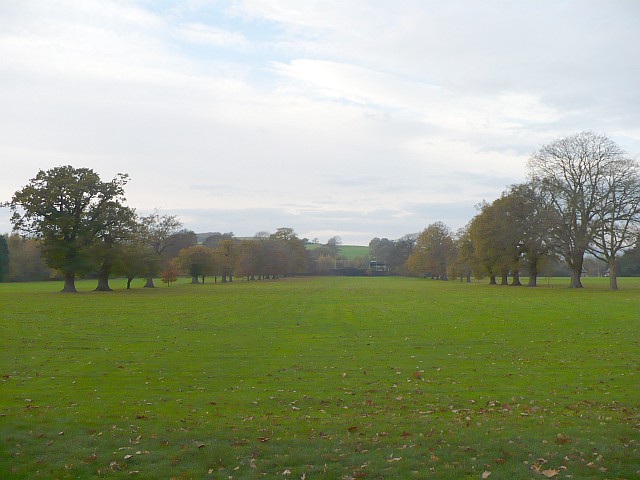


Marshfield, United Kingdom
Marshfield is a town of 3,054 people in Wales, United Kingdom.
Why visit Marshfield
Townapedia lists 2 museums and landmarks, 15 parks and trails, 8 places to eat, 2 places to stay and 1 attraction in and around town.
Highlights include West Usk Lighthouse, Monument to Sir Briggs, Craig Ruperra Motte and Cardiff Gate.
Weather in Marshfield
Forecast from MET Norway (CC BY 4.0). Full forecast
About Marshfield
Marshfield (Welsh: Maerun) is a village and community of Newport, Wales. It sits approximately 5 miles (8 km) southwest of Newport, and 7 miles (11 km) northeast of Cardiff. The area is governed by Newport City Council. The community includes Castleton.
From the Wikipedia article Marshfield, Newport (this version), under CC BY-SA 4.0.
Things to do1

West Usk Lighthouse
Lighthouse · 3.4 mi
Lighthouse on the Severn Estuary, at Newport, Wales, United Kingdom
Museums and landmarks2

Monument to Sir Briggs
Monument and historic site · 2.7 mi
Grade II listed building in Newport City. Set in the centre of the rear half of the Cedar Garden, to the SW side of the house, screened...

Craig Ruperra Motte
Monument and historic site · 3.5 mi
Castle in Caerphilly County Borough, Wales, UK
Parks, trails and playgrounds15


Tredegar House Country Park
Park · 2.7 mi
Public park in Newport, South Wales
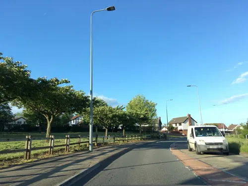
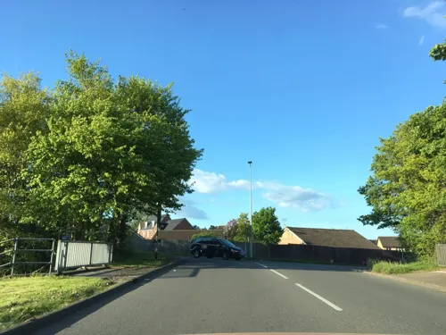


3 more on the map.
Restaurants and cafes8
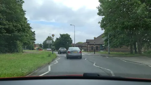
The Willows
Bar and pub · 1.4 mi
Willowbrook Drive, Cardiff
Mo-Th 12:00-22:30; Fr 12:00-23:30; Sa 11:00-23:30; Su 12:00-22:30

The Mason's Arms
Bar and pub
10 St Mellons Road, Cardiff
Mo 12:00-23:00; Tu-We 12:00-23:30; Th 12:00-23:00; Fr-Sa...
Port o Call
Bar and pub · 0.6 mi
140 Marshfield Road, Cardiff
Mo-Su 12:00-23:00


Where to stay2
Ty Coch Camping & Caravanning
Campground · 1.6 mi
St Brides Road, St Brides Wentlooge
Churches and places of worship11
Shopping1
Gas and EV charging2
Schools, colleges and libraries6
Healthcare2
Map of Marshfield
50 places. The map loads OpenStreetMap tiles when you open it.
Getting there and nearby towns
Cardiff Airport (CWL) is the nearest airport with scheduled flights listed in OpenStreetMap, 15 miles away.
- Newport 5 mi northeast, about 8 min by car
- Risca 5 mi north, about 8 min by car
- Cardiff 6 mi southwest, about 10 min by car
- Rhiwbina 6 mi west, about 10 min by car
- Caerphilly 7 mi northwest, about 11 min by car
- Whitchurch 7 mi west, about 11 min by car
- Penarth 8 mi southwest, about 13 min by car
- Abercarn 8 mi north, about 13 min by car
- Radyr 8 mi west, about 13 min by car
- Cwmbran 9 mi north, about 14 min by car
Drive times are estimates from straight-line distance, not routes.
Towns near Marshfield


Keep exploring
Local news
Headlines from INDB.
Reviews, tips and questions
Loading what members have shared...
Sources and licences
- GeoNames (CC BY 4.0): population, coordinates, regions and time zone
- Mapillary (see each image): photos
- OpenStreetMap contributors (ODbL 1.0): places, airports, map data
- Wikidata (CC0 1.0): elevation, founding date, time zone, website, landmarks and historic places
- Wikimedia Commons (see each image): photos
- Wikipedia (CC BY-SA 4.0): overview and history text
Photo credits
- West Usk Lighthouse, Pwimageglow, CC BY-SA 3.0
- Monument and Cedar Garden, WelshDave, CC BY-SA 4.0
- Tredegar Park, Robin Drayton, CC BY-SA 2.0
- St Edeyrn's church, Llanedeyrn, Gareth James, CC BY-SA 2.0
- St John's College, Cardiff - Main School, RGPrize, CC BY-SA 3.0
- Cardiff Gate services, M4-A4232, David Dixon, CC BY-SA 2.0
- Street-level photo, alexanderar, CC BY-SA 4.0
- Street-level photo, southglos, CC BY-SA 4.0
- Street-level photo, southglos, CC BY-SA 4.0
- Street-level photo, alexanderar, CC BY-SA 4.0
- Street-level photo, southglos, CC BY-SA 4.0
- Street-level photo, southglos, CC BY-SA 4.0
- Street-level photo, southglos, CC BY-SA 4.0
- Street-level photo, alexanderar, CC BY-SA 4.0
- Street-level photo, southglos, CC BY-SA 4.0
- Street-level photo, southglos, CC BY-SA 4.0
- Street-level photo, alexanderar, CC BY-SA 4.0
- Street-level photo, southglos, CC BY-SA 4.0
Page built November 10, 2026. Spotted a mistake? Tell us or suggest a place.