




Why visit Mayford
Townapedia lists 5 museums and landmarks, 22 parks and trails, 31 places to eat, 2 places to stay and 5 attractions in and around town.
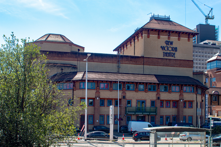
Highlights include New Victoria Theatre, Rhoda McGaw Theatre, The Lightbox and Woking Palace moated site, fishponds and ruins at Oldhall Copse.
Weather in Mayford
Forecast from MET Norway (CC BY 4.0). Full forecast
About Mayford
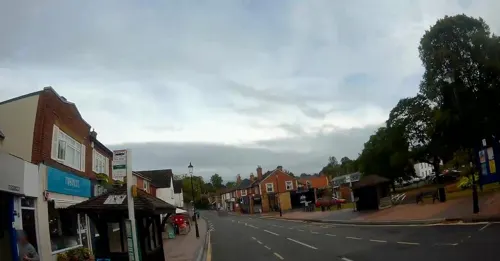
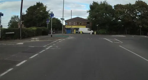
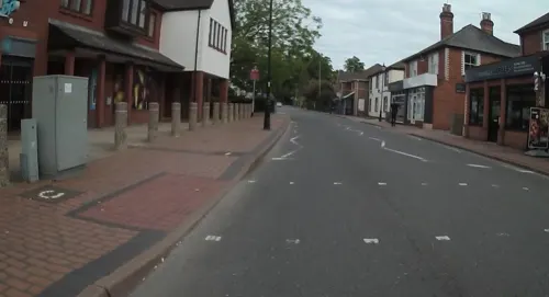
Mayford is a village in Woking borough of the county of Surrey, England. It is 3 miles south of Woking on Egley Road, part of the A320 between Woking and Guildford, Surrey. The village is mainly centred on the roundabout in the middle of the village. Mayford lays claim to having been mentioned in the Domesday Book in 1086, as "Maiford".
From the Wikipedia article Mayford (this version), under CC BY-SA 4.0.
Photos of Mayford


Things to do5

New Victoria Theatre
Cinema and theater · 1.8 mi
Theatre in Woking, England


Museums and landmarks5

The Lightbox
Museum · 1.9 mi
Museum in Surrey, England, United Kingdom

Woking Palace moated site, fishponds and ruins at Oldhall Copse
Monument and historic site · 2.2 mi
Archaeological site in Old Woking, Surrey, England, UK


Muslim Burial Ground, Horsell Common
Monument and historic site · 2.7 mi
Former cemetery and current peace garden in Woking, Surrey, England, UK
Parks, trails and playgrounds22


Burner's Heath and Swallows Pond
Park · 3.0 mi
Nature reserve in Pirbright in Surrey, South East England


Littlefield Common
Park · 3.1 mi
Nature reserve south-west of Worplesdon in Surrey, England
Milford Green and Coxhill Green
Park · 3.0 mi
Nature Reserves in Chobham, Surrey, British Columbia
Papercourt Marshes
Park · 2.7 mi
Site of Special Scientific Interest in Surrey, England, UK

10 more on the map.
Restaurants and cafes31
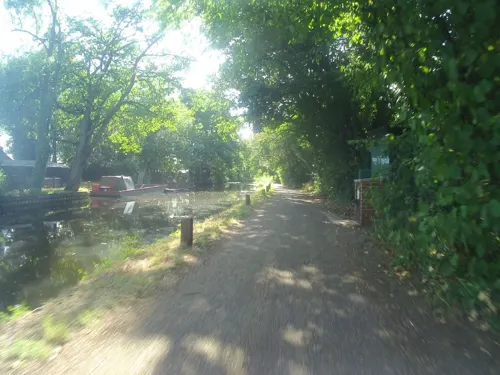
Bridge Barn
Bar and pub · British · 1.5 mi
Hotel guests only!
Bridge Barn Lane, Woking
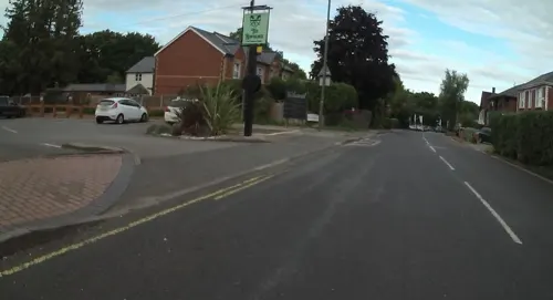
The Rowbarge
Bar and pub · 1.5 mi
39 Saint Johns Road, Woking
We-Th 11:30-22:00; Fr-Sa 11:30-00:00; Su 11:30-21:00
Everest Spice
Restaurant · Asian, Nepalese, Indian · 1.5 mi
1 St John's Road, Woking
Mo 18:00-23:00; We 18:00-23:00; Th-Su 12:00-14:30,18:00-23:00
Bellini
Restaurant · Italian · 1.5 mi
Mo-We 12:00-14:30,18:00-22:30; Th-Sa 12:00-14:30,18:00-23:00; Su...
Spice Village
Restaurant · Indian · 1.5 mi
Mo-Su 12:00-14:30,18:00-23:30

Drumming Snipe
Bar and pub
Guildford Road, Woking
Mo-Th 12:00-23:30; Fr,Sa 12:00-24:00; Su 12:00-22:30


The Christmas Bakery
Bakery · 1.5 mi
Mo-Sa 08:00-17:30; Su,PH off
19 more on the map.
Where to stay2
Churches and places of worship17
Shopping5
Gas and EV charging1
Schools, colleges and libraries9
St John the Baptist Catholic Comprehensive School
School · Roman Catholic · 1.5 mi
Elmbridge Lane, Woking
Healthcare2
Map of Mayford
99 places. The map loads OpenStreetMap tiles when you open it.
Getting there and nearby towns
Farnborough Airport (FAB) is the nearest airport with scheduled flights listed in OpenStreetMap, 9 miles away.
- Woking 2 mi northeast, about 3 min by car
- Guildford 4 mi south, about 7 min by car
- Ripley 4 mi east, about 6 min by car
- Normandy 5 mi southwest, about 8 min by car
- Addlestone 6 mi northeast, about 10 min by car
- Chilworth 6 mi south, about 9 min by car
- West Horsley 6 mi southeast, about 9 min by car
- Chertsey 7 mi northeast, about 11 min by car
- Weybridge 7 mi northeast, about 12 min by car
- Farnborough 8 mi west, about 13 min by car
Drive times are estimates from straight-line distance, not routes.
Towns near Mayford


Keep exploring
Local news
Headlines from INDB.
Reviews, tips and questions
Loading what members have shared...
Sources and licences
- GeoNames (CC BY 4.0): population, coordinates, regions and time zone
- Mapillary (see each image): photos
- OpenStreetMap contributors (ODbL 1.0): places, airports, map data
- Wikidata (CC0 1.0): elevation, founding date, time zone, website, landmarks and historic places
- Wikimedia Commons (see each image): photos
- Wikipedia (CC BY-SA 4.0): overview and history text
Photo credits
- New Victoria Theatre, Woking, Murgatroyd49, CC BY-SA 4.0
- The Lightbox (c) Ian Rudgewick Brown - cropped, The Lightbox, CC BY-SA 4.0
- Woking Palace, Old Woking, Surrey 01, Mertbiol, CC0
- Brookwood Lye 6, Dudley Miles, CC BY-SA 4.0
- Burner's Heath and Swallows Pond 4, Dudley Miles, CC BY-SA 4.0
- Riverside Park, Guildford, view of the lake, AndyScott, CC BY-SA 4.0
- AllSoulsSuttonGreen, Jasontutty, CC BY-SA 3.0
- Woking-TownSquare, AlanFord at English Wikipedia, Public domain
- St Andrew SU9858 231, RHaworth, CC BY-SA 3.0
- St Edward the Martyr Orthodox Church, Brookwood Cemetery, Brookwood (June 2015) (2), Hassocks5489, CC0
- Horsell Church1, Akoliasnikoff, CC BY-SA 4.0
- StPetersChurch 1, Akoliasnikoff, CC BY-SA 4.0
- St Mary of Bethany's Church, Mount Hermon Road, Woking (June 2015) (2), Hassocks5489, CC0
- Wokig College - Front College - Reception, WokingCollege2020, CC BY-SA 4.0
- Rhoda McGaw Auditorium front 1975, Woking Borough Council, CC0
- Close-up of the inscription (OpenBenches 4017), jenblacker, CC BY-SA 4.0
- Close-up of the inscription (OpenBenches 4018), Anonymous Unknown author, CC BY-SA 4.0
- Close-up of the inscription (OpenBenches 4016), jenblacker, CC BY-SA 4.0
- Close-up of the inscription (OpenBenches 4020), Anonymous Unknown author, CC BY-SA 4.0
- Triggs Lock (51322118038), Steve Elliott from UK, CC BY-SA 2.0
- Street-level photo, jpennycook, CC BY-SA 4.0
- Street-level photo, keithonearth, CC BY-SA 4.0
- Street-level photo, jpennycook, CC BY-SA 4.0
- Street-level photo, jpennycook, CC BY-SA 4.0
- Street-level photo, jpennycook, CC BY-SA 4.0
- Street-level photo, jpennycook, CC BY-SA 4.0
- Street-level photo, keithonearth, CC BY-SA 4.0
- Street-level photo, jpennycook, CC BY-SA 4.0


Page built November 10, 2026. Spotted a mistake? Tell us or suggest a place.