


Why visit Moira
Townapedia lists 4 museums and landmarks, 7 parks and trails, 7 places to eat and 2 places to stay in and around town.
Highlights include Moira Furnace Museum, Ashby de la Zouch Museum, Donisthorpe Woodland Park and Saltersford Wood.
Weather in Moira
Forecast from MET Norway (CC BY 4.0). Full forecast
About Moira
Moira is a former mining village about 2.5 miles (4 km) south-west of Ashby-de-la-Zouch in North West Leicestershire, England. The village is about 3 miles (5 km) south of Swadlincote and is close to the boundary with Derbyshire. The population is included in the civil parish of Ashby Woulds.
From the Wikipedia article Moira, Leicestershire (this version), under CC BY-SA 4.0.
Museums and landmarks4


Ashby de la Zouch Museum
Museum · 2.8 mi
Local museum in Ashby de la Zouch, Leicestershire, United Kingdom

Parks, trails and playgrounds7






Restaurants and cafes7
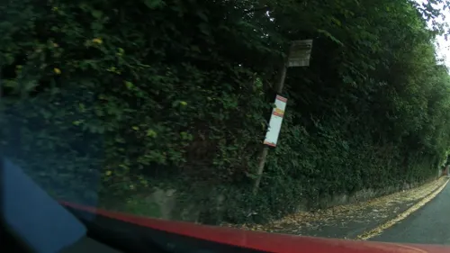
Halfway House
Bar and pub · 1.0 mi
65 Church Street, Swadlincote
Su-Th 12:00-23:00, Fr,Sa 12:00-24:00
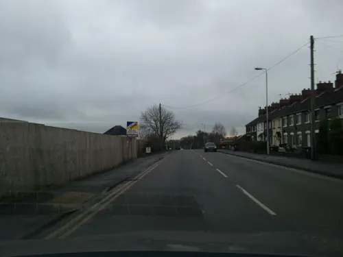
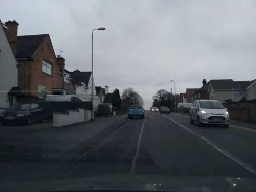
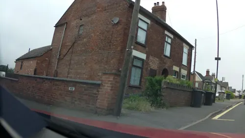


The Admiral Fish Bar
Fast food · Fish And Chips · 1.2 mi
7 Main Street, Swadlincote
Where to stay2


History
The Midland Railway opened its Leicester to Burton upon Trent Line through Moira in 1845. Moira station served the village until British Railways closed it in 1964. The building survives and the line remains open as a freight route.
Rawdon Colliery was worked for about 150 years. Its seams extended 6 miles (10 km) from the shaft, and some had been worked twice, recovering lower grade coal. The pit survived Britain's pit closure programme in the mid-1980s that followed the miners' strike, but ran out of viable coal seams. Gases were rarely a hazard, but spontaneous combustion of coal dust was a potential problem.
From the History section of Moira, Leicestershire on Wikipedia, under CC BY-SA 4.0.
Notable people from Moira
- John BourneEnglish cricketer (1872-1952)
- George DennisEnglish footballer
Born in Moira, according to Wikidata (CC0). Each name links to its Wikipedia article.
Churches and places of worship12
Shopping1
Schools, colleges and libraries3
Map of Moira
36 places. The map loads OpenStreetMap tiles when you open it.
Getting there and nearby towns
East Midlands Airport (EMA) is the nearest airport with scheduled flights listed in OpenStreetMap, 11 miles away.
- Donisthorpe 1 mi south, about 1 min by car
- Swadlincote 3 mi north, about 4 min by car
- Ashby-de-la-Zouch 3 mi east, about 4 min by car
- Ravenstone 6 mi east, about 9 min by car
- Burton upon Trent 7 mi northwest, about 11 min by car
- Coalville 7 mi east, about 11 min by car
- Findern 9 mi north, about 15 min by car
- Tamworth 10 mi southwest, about 16 min by car
- Sinfin 10 mi north, about 16 min by car
- Shepshed 10 mi east, about 17 min by car
Drive times are estimates from straight-line distance, not routes.
Towns near Moira


Keep exploring
Local news
Headlines from INDB.
Reviews, tips and questions
Loading what members have shared...
Sources and licences
- GeoNames (CC BY 4.0): population, coordinates, regions and time zone
- Mapillary (see each image): photos
- OpenStreetMap contributors (ODbL 1.0): places, airports, map data
- Wikidata (CC0 1.0): elevation, founding date, time zone, website, landmarks and historic places
- Wikimedia Commons (see each image): photos
- Wikipedia (CC BY-SA 4.0): overview and history text
Photo credits
- MoiraFurnace01, MaltaGC at English Wikipedia, CC BY-SA 3.0
- Saltersford Wood 8, Dudley Miles, CC BY-SA 4.0
- 31974970 c2951a7d29 o, Paul Dixon from Swadlincote, Derbyshire , England, CC BY-SA 2.0
- Ashby de la Zouch Holy Trinity Church, Russ Hamer, CC BY-SA 3.0
- Church Gresley Church St Geo and St Mary, RAY COFFEY, CC BY-SA 2.0
- Moira Furnace and bridge, TomtheTaleTeller, CC BY-SA 4.0
- 20190518ParkInfoBoard, LocalColour, CC BY-SA 4.0
- Street-level photo, southglos, CC BY-SA 4.0
- Street-level photo, adam2, CC BY-SA 4.0
- Street-level photo, southglos, CC BY-SA 4.0
- Street-level photo, adam2, CC BY-SA 4.0
- Street-level photo, southglos, CC BY-SA 4.0
- Street-level photo, adam2, CC BY-SA 4.0
- Street-level photo, adam2, CC BY-SA 4.0
- Street-level photo, southglos, CC BY-SA 4.0
- Street-level photo, southglos, CC BY-SA 4.0
Page built November 10, 2026. Spotted a mistake? Tell us or suggest a place.