


North Watford, United Kingdom
North Watford is a town of 33,000 people in England, United Kingdom.
Why visit North Watford
Townapedia lists 14 museums and landmarks, 26 parks and trails, 82 places to eat, 4 places to stay and 2 attractions in and around town.
Highlights include Watford Palace Theatre, Vue, Warner Bros. Studio Tour London and Bushey Museum and Art Gallery.
Weather in North Watford
Forecast from MET Norway (CC BY 4.0). Full forecast
About North Watford
North Watford is an area in the town of Watford, Hertfordshire, in the United Kingdom. It is now primarily a residential area which developed as a result of expansion from the town during the 19th century.
From the Wikipedia article North Watford (this version), under CC BY-SA 4.0.
Photos of North Watford


Things to do2
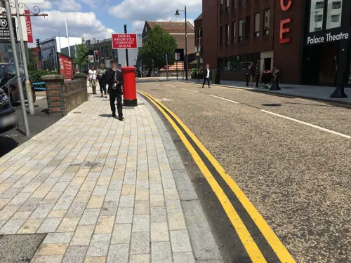
Watford Palace Theatre
Cinema and theater · 1.6 mi
Theatre and cinema in Watford, Hertfordshire, England, UK

Museums and landmarks14

Warner Bros. Studio Tour London
Monument and historic site · 1.2 mi
Studio Tour Drive, Watford
Mo-Su 10:00-20:00

Bushey Museum and Art Gallery
Museum · 2.8 mi
Museum and gallery in Hertfordshire, England, United Kingdom

Museum of Watford
Museum · 1.5 mi
Local museum in Hertfordshire, United Kingdom

Watford Peace Memorial
Monument and historic site · 1.5 mi
Memorial in Watford, Hertfordshire, England, UK



2 more on the map.
Parks, trails and playgrounds26

Garston Park
Park · 1.0 mi
Watford suburb recreation
72 Coates Dell, Watford
24/7

Cassiobury Park
Park · 1.7 mi
Park in Watford, Hertfordshire, England, UK

Longspring Wood
Park · 3.0 mi
Small Nature Reserve in Southern England
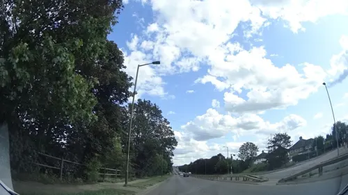

Aldenham Golf Club
Golf course · 1.5 mi
18 hole Par 70 Church Course & 9 hole Par 33 Berry Grove Course
Church Lane, Watford

Cheslyn House & Gardens
Park · 1.0 mi
Nascot Wood Road, Watford
Nov-Feb Mo-Su 09:00-16:00, Mar,Oct Mo-Su 09:00-18:00, Apr-Sep...
Callowland Recreation Ground
Park · 0.6 mi
140 Gammons Lane, Watford
24/7
Radlett Road Playing fields
Park · 1.5 mi
Radlett Road, Watford
24/7
Harebreaks Recreation Ground
Park · 0.6 mi
1 Woodside, Watford, Watford
24/7


14 more on the map.
Restaurants and cafes82
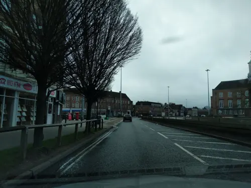
Rabbani's Indian Restaurant
Restaurant · Indian · 1.5 mi
167-169 The Parade, Cassiobury, Watford
Mo-Su 17:00-00:00
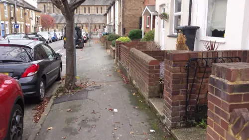
The Estcourt Tavern
Bar and pub · 1.5 mi
25 Estcourt Road, Watford
Mo-Th 12:00-23:00; Fr-Sa 12:00-23:30; Su 12:00-10:30
Platform
Cafe · Pizza, Sandwich · 1.2 mi
9 Station Road, Watford
Mo-Tu 06:00-18:00; We-Th 06:00-23:00; Fr 06:00-00:00; Sa 09:00-00:00


Aroma Kitchen
Restaurant · 1.5 mi
1 Katherine Place, Abbots Langley
Mo-Th 12:00-14:30,17:30-23:00; Fr-Sa 12:00-14:30,17:30-23:30; Su...

Courtlands Cafe
Cafe · Breakfast · 1.0 mi
133 Courtlands Drive, Watford
Mo-Sa 07:00-16:00; Su 08:30-15:30


70 more on the map.
History
The earliest record for the town of Watford documents a charter granted by King Henry I to hold a market in Watford. Until the 19th century, Watford was a small town and the area to the north Watford was little more than farmland and manorial estates, owned by the Earls of Essex and the Earls of Clarendon. Census documents from the 1880s show that much of the farmland belonged to Callowland Farm and Bushey Hall Farm.
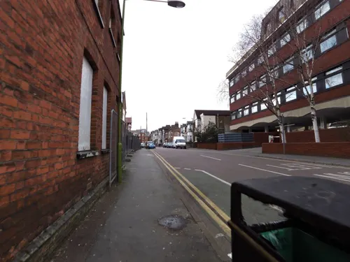
In 1833 the London and Birmingham Railway began to construct its new long-distance railway line through Watford which opened in 1838 between London Euston and Boxmoor. The advent of the railway improved links to London and other cities and made Watford attractive to industry; as a result, the need for more housing increased and the land usage in North Watford was given over to house building. In 1881 Callowland was purchased by the Earl of Essex from the Master and Fellows of Merton College, Oxford, and housing development began in the 1890s. The area was given the name of Watford New Town and later took the name of Callowland, but in 1916 the area was renamed North Watford. Today, North Watford is mostly residential and is mainly characterised by red brick terraced houses of the late 19th century.
Read more of the history
Among the industries setting up in the area was Wells Watford Brewery Ltd. Founded in 1890 by Lincolnshire farmer Ralph Thorpe, the brewery built up a large operation on St Albans Road with its premises linked to the St Albans branch line via a short railway line for transporting beer into London. The company was taken over in 1951 by another Watford brewery, Benskins Brewery and eventually wound up in 1955. Thorpe was a prominent local figure who was one of the founders of Watford Football Club and served as mayor of the town 1923–25.
A large chocolate factory of Dr. Tibbles' Vi-Cocoa Company opened in North Watford in 1899. The company produced a range of cocoa products, including Dr. Tibbles' Vi-Cocoa, Dr. Tibbles' Coca tablets, Dr. Tibbles' Brain Feeder and Dr. Tibbles' Child's Restorer. The company's advertising claimed that these products offered numerous health benefits and revitalising effects; as well as extracts of cocoa and kola, some also reputedly contained an amount of cocaine in their ingredients. In February 1903, a fire broke out at Dr. Tibbles' factory, consuming the building in the largest fire that had ever occurred in Watford. The factory was closed and rebuilt. Trading as The Watford Manufacturing Company, the company produced supplies for frontline troops in World War I, but after expanding the premises after the war, the company went bankrupt in 1922.
In 1951, the British furniture manufacturer Hille moved from its premises in Hainault to the former Wells Brewery building. The company, founded in 1906 in the East End of London by a Russian immigrant, Salamon Hille, specialised in modern design furniture, most notably the polypropylene stacking chair designed by Robin Day while he worked at Hille in Watford. The Polyprop went on to become the world's best-selling chair. The company's success grew and in 1961 it opened a new showroom and office building on the St Albans Road, Hille House.
From the History section of North Watford on Wikipedia, under CC BY-SA 4.0.
Where to stay4
Churches and places of worship34
North Jamia Watford Mosque
Place of worship · Sunni
167 N Western Ave, Watford, Watford
Shopping9
Gas and EV charging3
Schools, colleges and libraries28
St Catherine of Siena Catholic Primary School
School · Roman Catholic · 1.1 mi
Horseshoe Lane, Watford
Stanborough Secondary School
School · Seventh Day Adventist · 0.4 mi
Healthcare12
Leavesden Vantage Pharmacy
Clinic and pharmacy · 1.5 mi
14 Katherine Place, Abbots Langley
Map of North Watford
214 places. The map loads OpenStreetMap tiles when you open it.
Getting there and nearby towns
RAF Northolt (NHT) is the nearest airport with scheduled flights listed in OpenStreetMap, 9 miles away.
- Watford 2 mi south, about 3 min by car
- Bushey 3 mi southeast, about 5 min by car
- Croxley Green 4 mi southwest, about 7 min by car
- Batchworth 4 mi southwest, about 7 min by car
- Rickmansworth 5 mi southwest, about 7 min by car
- St Albans 5 mi northeast, about 9 min by car
- Northwood 5 mi south, about 8 min by car
- Borehamwood 5 mi east, about 9 min by car
- Harrow Weald 5 mi southeast, about 9 min by car
- Hemel Hempstead 6 mi northwest, about 9 min by car
Drive times are estimates from straight-line distance, not routes.
Towns near North Watford


Keep exploring
Local news
Headlines from INDB.
Reviews, tips and questions
Loading what members have shared...
Sources and licences
- GeoNames (CC BY 4.0): population, coordinates, regions and time zone
- Mapillary (see each image): photos
- OpenStreetMap contributors (ODbL 1.0): places, airports, map data
- Wikidata (CC0 1.0): elevation, founding date, time zone, website, landmarks and historic places
- Wikimedia Commons (see each image): photos
- Wikipedia (CC BY-SA 4.0): overview and history text
Photo credits
- Bushey Museum, Rudolph Road, Bushey, Richard Kelly, CC BY-SA 4.0
- Watford Town Hall (19716814084), Matt Brown from London, England, CC BY 2.0
- Watford Peace Memorial, Matt Brown from London, England, CC BY 2.0
- Garston Park Local Nature Reserve 8, Dudley Miles, CC BY-SA 4.0
- Cassiobury Park 012, Panhard, CC BY 2.5
- Kings Langley Church, UKgeofan ( talk ), CC BY-SA 3.0
- St Mary's Church, Watford, Nigel Cox, CC BY-SA 2.0
- Harry Potter Leavesden entrance, Karen Roe, CC BY 3.0
- Longspring Wood 5, Dudley Miles, CC BY-SA 4.0
- Entrance of Warner Bros. Studio Tour London (2025), S. Perquin, CC BY-SA 4.0
- Odhams Press Hall Watford, Nigel Cox, CC BY-SA 2.0
- London Midland train at Watford North, Cnbrb, CC0
- Watford North entrance, Cnbrb, CC0
- Watford North level crossing, Cnbrb, CC0
- Madam Matkins, Diagon Alley (6973109438), Rob Young from United Kingdom, CC BY 2.0
- Model of The Great Hall (6973067428), Rob Young from United Kingdom, CC BY 2.0
- The Knight Bus (7119181407), Rob Young from United Kingdom, CC BY 2.0
- Street-level photo, _mark, CC BY-SA 4.0
- Street-level photo, gkaluz, CC BY-SA 4.0
- Street-level photo, zymurgic, CC BY-SA 4.0
- Street-level photo, 4004, CC BY-SA 4.0
- Street-level photo, 4004, CC BY-SA 4.0
- Street-level photo, grkaluza, CC BY-SA 4.0
- Street-level photo, zymurgic, CC BY-SA 4.0
- Street-level photo, panieravide, CC BY-SA 4.0
- Street-level photo, smsm1, CC BY-SA 4.0

Page built November 10, 2026. Spotted a mistake? Tell us or suggest a place.