


Plumstead, United Kingdom
Plumstead is a town of 16,736 people in England, United Kingdom.
Why visit Plumstead
Townapedia lists 35 museums and landmarks, 52 parks and trails, 108 places to eat, 2 places to stay and 11 attractions in and around town.
Highlights include Tramshed Theatre, Bob Hope Theatre, Building 20 and Northern Entrance to Woolwich Foot Tunnel.
Weather in Plumstead
Forecast from MET Norway (CC BY 4.0). Full forecast
About Plumstead
Plumstead is an area in south-east London, within the Royal Borough of Greenwich, England. It is located east of Woolwich.
From the Wikipedia article Plumstead (this version), under CC BY-SA 4.0.
Photos of Plumstead


Things to do11


Bob Hope Theatre
Cinema and theater · 2.7 mi
Community theatre in Eltham, Royal Borough of Greenwich, London, England




Biota!
Monument and historic site · 2.6 mi
Proposed aquarium in Docklands, London

Thames Gateway Bridge
Bridge · 1.8 mi
Proposed new crossing of the River Thames, in east London, England

Royal Arsenal Farmers Market
Farm and orchard · 1.0 mi
Bi-monthly market (second and last Saturday of the month)
Artillery Square, London

Museums and landmarks35


Northern Entrance to Woolwich Foot Tunnel
Monument and historic site · 1.4 mi
Pier Road, London


Danson House
Museum · 2.4 mi
Grade I listed historic house museum in London Borough of Bexley, United Kingdom


Greenwich Heritage Centre
Museum · 1.0 mi
Former museum in local history resource centre in Woolwich, London, UK

North Woolwich Old Station Museum
Museum · 1.4 mi
Former railway museum in North Woolwich, London, opened 1984, closed 2008
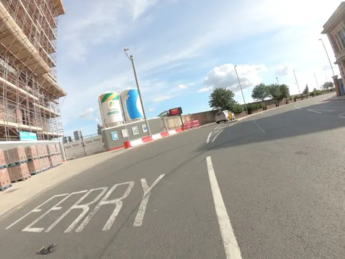

Red House
Museum · 2.8 mi
Grade I listed historic house museum, former home of William Morris

23 more on the map.
Parks, trails and playgrounds52


Danson Park
Park · 2.4 mi
Park in the London Borough of Bexley, England, UK

Shoulder of Mutton Green
Park · 1.3 mi
Public open space in Welling, London, England
Charlton Park, Greenwich
Park · 1.7 mi
Park in Royal Borough of Greenwich, United Kingdom
40 more on the map.
Restaurants and cafes108
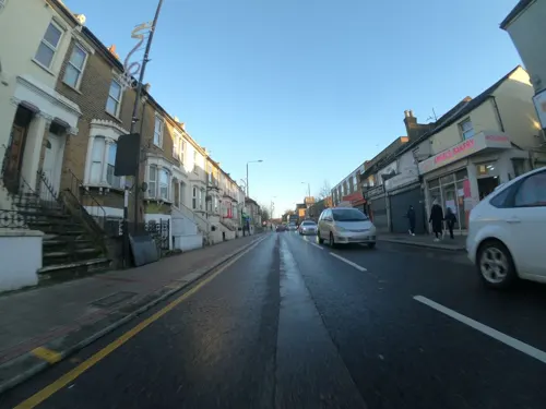
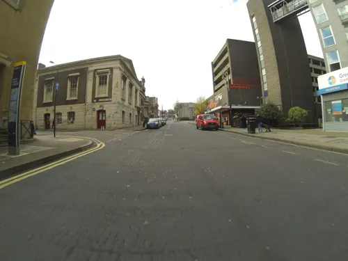
Kaabo Lounge
Restaurant · Grill, Restaurant&bar, African, Nigerian Cuisines, Lounge, Takeaway · 1.0 mi
25 Calderwood Street, London
Mo-Su 11:00-23:30
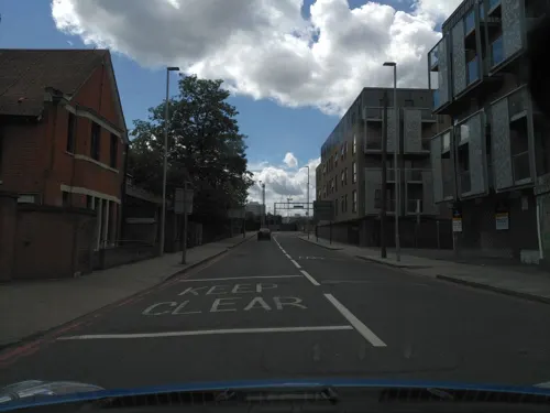
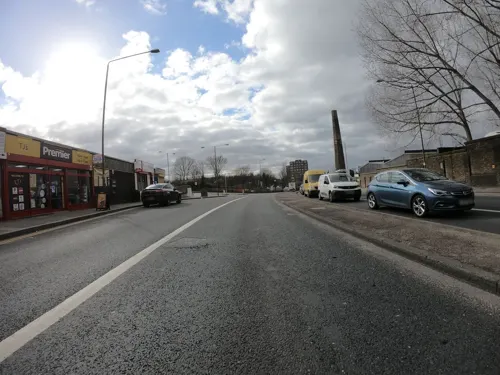
Rosario Munch
Cafe · Full English, Shawarma, Kebab, Curry, Burger, Chicken · 1.5 mi
136 Woolwich Church Street, London
Mo-Su 06:00-23:00
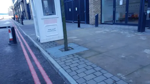
SALT Woolwich
Bar and pub · Pizza · 0.8 mi
15 Major Draper Street, London
Mo-Th 16:00-23:00; Fr-Sa 12:00-23:00; Su 12:00-22:00
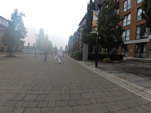
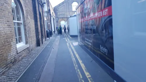
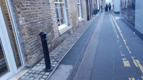
Starbucks
Cafe · Coffee Shop · 0.8 mi
21 Major Draper Street, London
Mo-Fr 06:00-21:00; Sa-Su 07:00-21:00
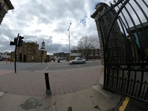
The Guard House
Bar and pub · 0.8 mi
No 1 Street, London
Mo-Fr 10:00-23:00; Sa 08:00-23:00; Su 09:00-23:00



96 more on the map.
History
Plumstead has been settled since ancient times, and London's earliest timber structure has been found here. During the excavation of a peat bog near Belmarsh Prison in 2009, an ancient timber trackway, radiocarbon dated to be nearly 6,000 years old, was discovered by archaeologists.
In 960 King Edgar gave four plough lands, collectively called Plumstead, to a monastery - St Augustine's Abbey near Canterbury, Kent. These were subsequently taken from the monastery by Earl Godwin for his fourth son, Tostig.
King Edward the Confessor restored them again to the monastery on taking power, however Tostig saw the opportunity to take possession of them once again after Edward's death in 1066 when King Harold seized his brother's estates.
After the Battle of Hastings in 1066, William the Conqueror gifted Plumstead to his half-brother Odo, Bishop of Bayeux, whom he also titled Earl of Kent. The Archbishop of Canterbury Lanfranc of Pavia and the Norman abbot of St Austin's successfully interceded to reclaim a portion of the land on behalf of the monastery. In 1074 Odo then granted by deed the remainder of the parish and also the right of the abbot to be "Chief Lord of the Fee".
However, the Domesday Book of 1086 holds the details of Plumstead as two separate entries. Under the title of the land of the church of St. Augustine it reads
Read more of the history
In Litelai hundred. The abbot of St. Augustine has 1 manor, named Plumstede, which was taxed at 2 sulings and 1 yoke. The arable lands is ... In demesne there is 1 carucate and 17 villeins, with 6 cottagers, having 6 carucates, there is wood for the pannage of 5 hogs. In the time of king Edward the Confessor, and afterwards it was worth 10 pounds, now 12 pounds, and yet it pays 14 pounds and 8 shillings and 3 pence.
while under the general title of the Bishop of Bayeux's lands
The abbot of St. Augustine holds of the bishop of Baieux, Plumsted. It was taxed at 2 sulings and 1 yoke. The arable land is 5 carucates. In demesne there is 1 carucate and 17 villeins, with 3 boarderers, having 4 carucates. There is wood for the pannage of 5 hogs. In the time of king Edward the Confessor it was worth 10 pounds, when he received it 8 pounds, and now as much, and yet he who holds it pays 12 pounds. Brixi Cilt held it of king Edward.
Around this time Reginald, son of Gervase de Cornhill, released to the abbot and convent all claims in this manor from David and Robert de Cornhill who had rented it from them.
By 1273 Nicholas de Spina was elected abbot of the monastery and by the following year he was receiving eleven pounds from Plumstead residents.
Lora de Ros, lady of Horton, gave her right to two carucates of land and 50 acres (200,000 m2) of woods in Plumstead to the abbot, Thomas, in return for the rights of her and her heirs to partake of prayers performed in the church during 1287. It appears that Robert, the last abbot but one, had recovered a share of this land from her ancestor, Richard de Ros. It was found by a jury of grand assizes that his ancestors held this land in tenancy from the abbot and convent at a rent of twelve pound per annum.
In 1314, during the reign of Edward II, the abbot was summoned before Hervey de Stanton, the Chancellor of the Exchequer. He was asked to show by what right he claimed sundry liberties and free warren on the manor of Plumstead amongst others. Other questions included the right for a weekly market in Plumstead on a Wednesday and a fair yearly for three days "on the Eve day, and morrow of St. Nicholas".
For reasons that remain unclear, Edward III exempted the men and tenants of the manor of Plumstead from providing four men from the borough for the sheriff as was the requirement elsewhere. A writ to Roger de Reynham, Sheriff of Kent, in 1332 directed and commanded him that the residents of Plumstead should be allowed to send one man only. By 1363 Edward also decreed to the monastery in his charter of infpeximus that he released all manors and possessions given to it by former kings, including William the Conqueror. He also confirmed all the grants of liberties previously bestowed on the abbot and monastery.
By the time of Richard II of England the taxes from Plumstead were valued at 69 pounds, 10 shillings and sixpence, and Henry VI of England reconfirmed the liberties and rights of the monastery.
Plumstead manor, together with the church of Plumstead and the chapel of Wickham annexed to it, remained part of the possessions of the monastery until its final dissolution in 1539, the 30th year of the reign of Henry VIII, when the abbey and all its revenues were surrendered into the King's hands by the then abbot, John Essex, and its thirty members.
Plumstead expanded rapidly in the 1880s with housing developed for workers at the Royal Arsenal; two-up two-down terraced housing was common in the area close to the river and the Arsenal, whereas larger and smarter properties were developed uphill from the Thames, around Plumstead Common. The Plumstead Common Act 1878 (41 & 42 Vict. c. cxlv) protected Plumstead Common as public open space forever. In the late 19th century, Woolwich cemetery was developed in two phases (1856, 1855) on land formerly part of the southern edge of the Common.
Plumstead was also the home of the Peculiar People and an account of this Protestant sect is recorded in 'Unorthodox London' by the journalist Charles Maurice Davies. The Plymouth Brethren have had numerous meeting rooms in the area since about 1845. The present Brethren meeting places are at Plum Lane (1865), Willenhall Road (ca 1910) and Brewery Road (Richmond Gospel Hall). Quakers met nearby in Woolwich from 1905, and in their own Meeting House from 1924.
Plumstead had rapid housing growth but still retained large areas of green land i.e. Winns Common, Plumstead Common, Shrewsbury Park and Rockcliffe Gardens. The urban sprawl of lower Plumstead adjacent to Woolwich was not initially matched by upper Plumstead.
From the History section of Plumstead on Wikipedia, under CC BY-SA 4.0.
More about Plumstead
Education
Plumstead Manor School is located in the area. The school was first established as Plumstead County School for Girls in 1913, and was later renamed Kings Warren Grammar School before becoming a comprehensive school in 1967. The school was a girls school until September 2018, after which it began accepting students of all genders.
There are a number of primary schools in Plumstead including St. Patricks RC Primary School, St. Margaret's CofE Primary School, Gallions Mount Primary School, Timbercroft Primary School, Bannockburn Primary School, Plumcroft Primary School, Greenslade Primary School, South Rise Primary School, and Conway Primary School.
From the Wikipedia article Plumstead, under CC BY-SA 4.0.
Notable people from Plumstead
 Tinie TempahEnglish rapper, singer and record producer (born 1988)Photo: Amy Martin Photography, CC BY-SA 4.0
 Ken HensleyBritish singer and guitarist (1945–2020)Photo: Paul Hasselblatt, CC BY-SA 4.0
 Paul WalshEnglish association football playerPhoto: Jarvin, CC BY 3.0
 Chris DicksonEnglish footballer (born 1984)Photo: Timmy96, CC0
 Fred OnyedinmaNigerian FootballerPhoto: Timmy96, CC0
 Margaret Dorothea RowbothamEngineer, and campaigner for women's rights (1883-1978)Photo: Photographer not known, but picture..., Public domain
- Steve DavisEnglish snooker player
- Charlie BuchanEnglish footballer and sporting journalist (1891–1960)
- Ida BusbridgeBritish mathematician
- Henry Ruthven MooreRoyal Navy admiral (1886-1978)
- Charles LewisEnglish footballer (1886-1967)
- Mabel Tuke(1871–1962), suffragette
Born in Plumstead, according to Wikidata (CC0). Each name links to its Wikipedia article.
Where to stay2
Churches and places of worship53
New Wine Church
Church · Evangelical · 1.2 mi
2 John Wilson Street, London
Shopping14
Gas and EV charging5
Schools, colleges and libraries41
Healthcare18
Woolwich Late Night Pharmacy
Clinic and pharmacy · 0.8 mi
10 Woolwich New Road, London
Map of Plumstead
250 places. The map loads OpenStreetMap tiles when you open it.
Getting there and nearby towns
London City Airport (LCY) is the nearest airport with scheduled flights listed in OpenStreetMap, 2 miles away.
- Barking 3 mi north, about 6 min by car
- Bexley 4 mi southeast, about 6 min by car
- Sidcup 4 mi south, about 7 min by car
- West Ham 4 mi northwest, about 7 min by car
- Ilford 5 mi north, about 8 min by car
- Rainham 5 mi northeast, about 9 min by car
- Dagenham 6 mi northeast, about 9 min by car
- Stepney 6 mi northwest, about 10 min by car
- Swanley 7 mi southeast, about 11 min by car
- London 9 mi west, about 15 min by car
Drive times are estimates from straight-line distance, not routes.
Towns near Plumstead


Keep exploring
Local news
Headlines from INDB.
Reviews, tips and questions
Loading what members have shared...
Sources and licences
- GeoNames (CC BY 4.0): population, coordinates, regions and time zone
- Mapillary (see each image): photos
- OpenStreetMap contributors (ODbL 1.0): places, airports, map data
- Wikidata (CC0 1.0): elevation, founding date, time zone, website, landmarks and historic places
- Wikimedia Commons (see each image): photos
- Wikipedia (CC BY-SA 4.0): overview and history text
Photo credits
- London-Plumstead, Plumstead Common, The Old Mill, Kleon3, CC BY-SA 4.0
- London-Plumstead, Plumstead Common, Warwick Terrace-Old Mill Rd, Kleon3, CC BY-SA 4.0
- The Old Mill pub, Plumstead 1849096, Stephen Craven, CC BY-SA 2.0
- London-Plumstead, Plumstead Common, Warwick Terrace, Kleon3, CC BY-SA 4.0
- London-Plumstead, Plumstead Common 03, Kleon3, CC BY-SA 4.0
- London-Plumstead, Plumstead Common 04, Kleon3, CC BY-SA 4.0
- London-Plumstead, Plumstead Common 27, Kleon3, CC BY-SA 4.0
- London-Plumstead, Plumstead Common 02, Kleon3, CC BY-SA 4.0
- London-Plumstead, Plumstead Common, Plumstead Manor School, Kleon3, CC BY-SA 4.0
- London-Plumstead, Plumstead Common Rd, The Ship 02, Kleon3, CC BY-SA 4.0
- Eltham highstreet 3, PeterEltham, CC BY-SA 3.0
- Royal Victoria Dock Bridge, Liline sur Flickr, CC BY 2.0
- Danson Mansion, Stacey Harris, CC BY-SA 2.0
- 1212906 II Star ELTHAM COURT (ELTHAM PALACE), COURT YARD, from SW Greenwich London 20250610 0005, Tilman2007, CC BY-SA 4.0
- Flickr - davehighbury - Royal Arsenal Woolwich London 039 (cropped), DAVID HOLT from London, England, CC BY-SA 2.0
- The Red House, Bexleyheath, Velela, Public domain
- London, Plumstead Common 04, Kleon3, CC BY-SA 4.0
- Beckton District Park South, Dudley Miles, CC0
- Birdbrook Road Nature Reserve 4, Dudley Miles, CC BY-SA 4.0
- Crossness Nature Reserve 1, Dudley Miles, CC BY-SA 3.0
- Danson Park, Stacey Harris, CC BY-SA 2.0
- New Wine Church building, Danny Robinson, CC BY-SA 2.0
- London, Woolwich, Royal Garrison Church 01, Kleon3, CC BY-SA 4.0
- AllSaints Blackheath, Taken by Mark Duwe, Vbloke at English Wikipedia, Public domain
- St John the Baptist Church Tower in Eltham, Chris Roberts, CC BY-SA 4.0
- Greater London - Church of St Michael and All Angels, JENABZ, CC BY-SA 4.0
- 2017-Woolwich, Tramshed Theatre, Kleon3, CC BY-SA 4.0
- Main entrance, Queen Elizabeth Hospital, Woolwich, Paul W, CC BY-SA 4.0
- London-Woolwich, St Mary Magdalene Church & crucifix 2, Kleon3, CC BY-SA 4.0
- Severndroog, Veghead, Public domain
- Ark Greenwich Free School buildings, Paul W, CC BY-SA 4.0
- Church of St Nicholas plumstead, Simon Armstrong, CC BY-SA 3.0
- Memorial Hospital, Woolwich, Secretlondon, CC BY-SA 4.0
- London-Woolwich, Second Boer War Memorial 03, Kleon3, CC BY-SA 4.0
- North Entrance To Woolwich Pedestrian Tunnel, The wub, CC BY-SA 4.0
- London-Woolwich, Royal Arsenal, Wellington Park, statue Duke of Wellington 01, Kleon3, CC BY-SA 4.0
- Royal Arsenal Building number 20, Catcushion, CC BY-SA 4.0
- Plumstead Library, 2015, No Swan So Fine, CC BY-SA 4.0
- Christ Church, Shooter's Hill, Ethan Doyle White, CC BY-SA 4.0
- Shrewsbury Park, Shooter's Hill, London, Paul W, CC BY-SA 4.0
- London, Woolwich-Shooter's Hill, Eaglesfield park03, Kleon3, CC BY-SA 4.0
- London, North Woolwich Old Station Museum 01, Kleon3, CC BY-SA 4.0
- London-Woolwich, Rotunda 06, Kleon3, CC BY-SA 4.0
- Street-level photo, wasd42, CC BY-SA 4.0
- Street-level photo, edloach, CC BY-SA 4.0
- Street-level photo, jjhaslanded, CC BY-SA 4.0
- Street-level photo, wasd42, CC BY-SA 4.0
- Street-level photo, zymurgic, CC BY-SA 4.0
- Street-level photo, wasd42, CC BY-SA 4.0
- Street-level photo, edloach, CC BY-SA 4.0
- Street-level photo, edloach, CC BY-SA 4.0
- Street-level photo, jjhaslanded, CC BY-SA 4.0
- Street-level photo, dankarran, CC BY-SA 4.0
- Street-level photo, smsm1, CC BY-SA 4.0
- Street-level photo, wasd42, CC BY-SA 4.0
- Street-level photo, wasd42, CC BY-SA 4.0
- Street-level photo, jjhaslanded, CC BY-SA 4.0
- Street-level photo, jjhaslanded, CC BY-SA 4.0
- Street-level photo, wasd42, CC BY-SA 4.0
- Street-level photo, jjhaslanded, CC BY-SA 4.0
- Street-level photo, jjhaslanded, CC BY-SA 4.0
- Street-level photo, wasd42, CC BY-SA 4.0
- Street-level photo, deemcee, CC BY-SA 4.0
- Street-level photo, jjhaslanded, CC BY-SA 4.0


Page built November 10, 2026. Spotted a mistake? Tell us or suggest a place.