

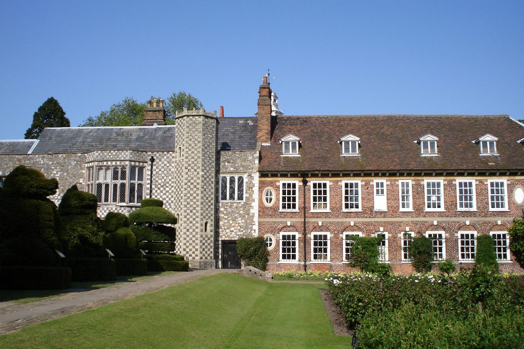


Why visit Swanley
Townapedia lists 12 museums and landmarks, 18 parks and trails, 51 places to eat, 5 places to stay and 2 attractions in and around town.
Highlights include Coal tax post, Eynsford Castle, Braeburn Park and Dartford Heath.
Weather in Swanley
Forecast from MET Norway (CC BY 4.0). Full forecast
About Swanley
Swanley is a town and civil parish in the Sevenoaks District of Kent, England, 16 miles (26 km) southeast of central London, adjacent to the Greater London boundary and within the M25 motorway periphery. The population at the 2021 census was 17,826.
From the Wikipedia article Swanley (this version), under CC BY-SA 4.0.
Things to do2


Museums and landmarks12
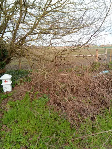

Eynsford Castle
Monument and historic site · 2.5 mi
Castle, now ruinous, in Eynsford, Kent, England, UK

Hall Place and Gardens
Museum · 3.6 mi
Grade I listed house and museum in Bexley, Greater London, England, United Kingdom

Lullingstone Castle
Museum · 2.9 mi
Historic manor house in the village of Lullingstone in England

Lullingstone Roman Villa
Monument and historic site · 2.5 mi
Roman villa in Lullingstone, Kent, United Kingdom

Parks, trails and playgrounds18


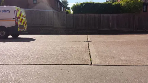

Pedham Place Golf Centre
Golf course · 1.7 mi
18 hole Par 72 Championship Course & 9 hole Par 27 Academy Course
London Road, Swanley

The Warren
Park · 1.7 mi
Nature reserve in St Mary Cray in the London Borough of Bromley

6 more on the map.
Restaurants and cafes51
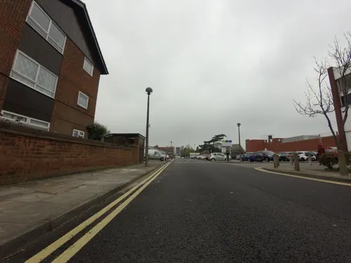
McDonald's
Restaurant · Burger
30 London Road, Swanley
Mo-Su 07:00-23:00

Thai Emperor
Restaurant · Thai
7 High Street, Swanley
Tu-Th 17:00-22:30; Fr,Sa 17:00-23:00; Su 16:00-21:00

Costa
Cafe · Coffee Shop
London Road, Swanley
Mo-Sa 06:30-18:30; Su 08:00-18:00
Namaste
Restaurant · Indian
9 High Street, Swanley
Mo-Sa 17:30-23:00; Su 12:00-22:00
Rainbow Inn
Restaurant · Chinese · 0.6 mi
London Road, Swanley
Tu-Th 17:00-22:30; Fr,Sa 17:00-23:00; Su 17:00-22:00
Shishly Grill & Meze
Restaurant · Turkish
London Road, Swanley
Mo-Su 12:00-22:00
The Village Lunchbox
Restaurant · Sandwich · 1.1 mi
7 Broadway, Swanley
Mo-Fr 06:00-15:00; Sa 08:00-14:00
Blue Harbour Restaurant
Restaurant · Fish And Chips
London Road, Swanley
Mo-Sa 10:00-21:00
39 more on the map.
History
In 1066, Swanley only consisted of a few cattle farms, surrounded in oak, sycamore and ash (Fraxinus) woodland.
Because Swanley only consisted of a few homesteads, it was not mentioned in the Domesday Book.
There is a theory that the placename Swanley developed from the Saxon term 'Swine-ley', "Ley" meaning a clearing in the woods and "swine" meaning pigs. So it has been suggested that it was originally a Saxon pig farm or a stopping place for pigs on the way to the markets in Kent. This later developed into what we now know as Swanley.
In the sixth and seventh centuries, there were probably two homesteads. After the Norman Conquest, these portions of land were turned into manors, which were then often divided among the monks at Ghent Abbey and Bermondsey. The original settlement of the town of Swanley (as opposed to modern-day Swanley Village) was based around Birchwood which does get mention in later medieval and early modern documents.
The modern-day town developed from a crossroads with only three houses before the advent of the railway in 1861 to a town with a population of 16,588 (in 2001) in one and a half centuries. The newer settlement grew up around the railway junction and was originally named Swanley Junction, before becoming known as Swanley, and the original Swanley became Swanley Village, in the 1920s.
Read more of the history
The arrival of the railway changed life in Swanley. The town became the location of Swanley Horticultural College which opened in 1887 and led to horticulture becoming the predominant industry. The college originally only catered for male students. Then in the early 1890s the first female students were admitted. Local Nurseries and florists' outlets blossomed, while casual farm labouring job opportunities on farms became in short supply. Some properties in Swanley still have apple and pear trees in their gardens from the original orchards. The college amalgamated with Wye College near Canterbury in 1945 under the governorship of Lord Northbourne.
Swanley became an attractive location for London doctors seeking a hospital site, to escape the smog of London. Three hospitals were established:
The Kettlewell stood on the site of Asda's car park and was for poor patients from London who needed to recuperate after major surgery. The Parkwood Hospital was similarly used and White Oak was originally for children with eye diseases.
During both World War I and World War II, Kettlewell and Parkwood were used as military hospitals, and Parkwood become part of the Sidcup Hospital for facial injuries.
After 1948, and the creation of the National Health Service, these old London hospitals became redundant: – Kettlewell and White Oak
closed in 1959 and Parkwood ceased to be a hospital in the early 1960s.
Currently, the gates of White Oak can still be seen opposite Swanley Police Station in London Road; the Roman Catholic Church in Bartholomew Way
is on the site of Kettlewell's chapel; and Parkwood still exists in its entirety in Beechenlea Lane as Parkwood Hall School (a residential and day school).
The civil parish of Swanley was created in 1955 from neighbouring parishes of Farningham and Sutton at Hone reflecting the developments of the town and increase in population. In 1974 the parish council became a Town Council and included the settlements of Hextable, Swanley Village and the main town of Swanley. In 1988, Hextable was formed into a separate parish council.
From the History section of Swanley on Wikipedia, under CC BY-SA 4.0.
More about Swanley
Geography
Within Kent, Swanley is adjacent to the parishes of Wilmington and Hextable to the north, Sutton-at-Hone and Hawley and Farningham to the east, and Eynsford and Crockenhill to the south. To the west there is a boundary with St Mary Cray in the London Borough of Bromley and Ruxley in the London Borough of Bexley.
The closest large towns are Bexleyheath, Dartford, Orpington and Sidcup.
The villages of Hextable Hockenden and Crockenhill use a Swanley address and are part of the Swanley urban area which has a total population of 23,489 with Hextable being earmarked for regeneration in the districts Swanley vision plan.
Being on the outskirts of south east London it is a convenient commuter town for people who work in the city. It keeps administrative and some traditional links with Sevenoaks and Kent but it is heavily associated with south east London due to the expansion of that area close to Swanley's borders. The majority of housing development took place from the post-war period to late 1980s. A new fire station was opened in 1962, and new post office two years later. Victorian houses and shops were demolished to create a new town centre. Its 1970s shopping centre was then re-modelled in the 1990s when the Asda supermarket was extended and is one of the larger Asda stores.
Education
Orchards Academy is located close to the Town Centre and is the only Secondary School in the town. Other schools are located in the nearby towns of Sidcup, Dartford and Orpington within 5 miles of Swanley. There are five Primary Schools in Swanley, with others in the surrounding villages. The closest Further Education Colleges are North Kent College and London South East College.
From the Wikipedia article Swanley, under CC BY-SA 4.0.
Notable people from Swanley
 Susan Whetnallbadminton playerPhoto: Bert Verhoeff / Anefo, CC0
 Crispian St. PetersBritish singer (1939–2010)Photo: Jamie Records, Public domain
 Mark SteelEnglish comedianPhoto: Mark_Steel.jpg : Loz Pycock..., CC BY-SA 2.0
- Lance PriceBritish journalist
- Nigel MillsRAF air marshal (1932-1991)
Born in Swanley, according to Wikidata (CC0). Each name links to its Wikipedia article.
Where to stay5
Churches and places of worship19
Shopping4
Gas and EV charging6
Schools, colleges and libraries14
St Pauls' Church of England Voluntary Controlled Primary School
School · Anglican · 1.2 mi
School Lane, Swanley
Healthcare6
Map of Swanley
137 places. The map loads OpenStreetMap tiles when you open it.
Getting there and nearby towns
London Biggin Hill Airport (BQH) is the nearest airport with scheduled flights listed in OpenStreetMap, 7 miles away.
- Bexley 3 mi north, about 5 min by car
- Swanscombe 7 mi northeast, about 11 min by car
- West Wickham 8 mi west, about 14 min by car
- Tilbury 9 mi northeast, about 15 min by car
- Barking 10 mi north, about 16 min by car
- Dagenham 11 mi north, about 17 min by car
- Croydon 12 mi west, about 19 min by car
- Ilford 12 mi north, about 19 min by car
- West Ham 12 mi northwest, about 19 min by car
- London 15 mi northwest, about 24 min by car
Drive times are estimates from straight-line distance, not routes.
Towns near Swanley


Keep exploring
Local news
Headlines from INDB.
Reviews, tips and questions
Loading what members have shared...
Sources and licences
- GeoNames (CC BY 4.0): population, coordinates, regions and time zone
- Mapillary (see each image): photos
- OpenStreetMap contributors (ODbL 1.0): places, airports, map data
- Wikidata (CC0 1.0): elevation, founding date, time zone, website, landmarks and historic places
- Wikimedia Commons (see each image): photos
- Wikipedia (CC BY-SA 4.0): overview and history text
Photo credits
- Eynsford Castle (20) (18373797302) (2), Richard Nevell from London, United Kingdom, CC BY-SA 2.0
- HallPlace, Wellingwebsite at English Wikipedia Later versions were uploaded by P Ingerson at en.wikipedia ., Public domain
- LullingstonVilla-Kent Interior May2001, Unknown author, CC BY-SA 3.0
- Wansunt Pit, Dudley Miles, CC BY-SA 3.0
- Five Arches, Foots Cray Meadows, Midnightblueowl at English Wikipedia, CC BY-SA 3.0
- Scadbury Park fields, Dudley Miles, CC0
- Orpington All Saints Church CG, CarolGray at English Wikipedia, CC BY-SA 3.0
- Oast house adjacent to St Botolphs' Church, Ruxley, Ethan Doyle White, CC BY-SA 4.0
- Dartford Heath along Rochester Way, Ethan Doyle White, CC BY-SA 4.0
- Lullingstone Castle Gateway (16th century), Michael Coppins, CC BY-SA 4.0
- Street-level photo, wasd42, CC BY-SA 4.0
- Street-level photo, tallguy, CC BY-SA 4.0
- Street-level photo, tallguy, CC BY-SA 4.0
- Street-level photo, tallguy, CC BY-SA 4.0
- Street-level photo, tallguy, CC BY-SA 4.0
- Street-level photo, tallguy, CC BY-SA 4.0
- Street-level photo, tallguy, CC BY-SA 4.0
- Street-level photo, tallguy, CC BY-SA 4.0
- Street-level photo, tallguy, CC BY-SA 4.0
- Street-level photo, tallguy, CC BY-SA 4.0
- Street-level photo, tallguy, CC BY-SA 4.0
- Street-level photo, tallguy, CC BY-SA 4.0
- Street-level photo, tallguy, CC BY-SA 4.0
- Street-level photo, tallguy, CC BY-SA 4.0


Page built November 10, 2026. Spotted a mistake? Tell us or suggest a place.