


Totteridge, United Kingdom
Totteridge is a town of 15,159 people in England, United Kingdom.
Why visit Totteridge
Townapedia lists 13 museums and landmarks, 78 parks and trails, 111 places to eat, 3 places to stay and 3 attractions in and around town.
Highlights include Barnet Everyman Cinema, GROW Farm Stall, Barnet Museum and Church Farmhouse Museum.
Weather in Totteridge
Forecast from MET Norway (CC BY 4.0). Full forecast
About Totteridge
Totteridge is a residential area and former village in the London Borough of Barnet, England. It is a mixture of suburban development and open land (including some farmland) situated 8 miles (13 km) north north-west of Charing Cross. It is part of the Whetstone postal district (N20).
From the Wikipedia article Totteridge (this version), under CC BY-SA 4.0.
Photos of Totteridge


Things to do3



GROW Farm Stall
Farm and orchard · 0.4 mi
Nov-Apr We 15:00-17:30; May-Jul,Sep-Oct We 15:00-18:00; Aug We...
Museums and landmarks13

Barnet Museum
Museum · 1.4 mi
Local museum in the United Kingdom
Tu-Su 14:30-16:30; Fr off; Sa 10:30-16:00

Church Farmhouse Museum
Museum · 3.1 mi
Former museum in Barnet, London

Francis Skaryna Belarusian Library and Museum
Museum · 1.4 mi
Library



Tony Clark Memorial Bench
Monument and historic site · 1.1 mi
Memorial bench: TONY CLARK
Vi & George Terry Memorial Bench
Monument and historic site · 1.1 mi
Memorial Bench: VI and GEORGE TERRY

1 more on the map.
Parks, trails and playgrounds78

Darland's Lake Nature Reserve
Hiking and trails · 0.5 mi
I've mapped the Nature Reserve to cover the whole area based on previous visits there, and the attached map

Greenhill Gardens
Park · 1.1 mi
Nature reserve in Barnet, London
Mo-Su 07:00-sunset


Whitings Hill Open Space
Park · 1.2 mi
Large public open space in Barnet, England


Arrandene Open Space and Featherstone Hill
Park · 1.9 mi
Local nature reserve in Barnet, London, England


Barfield Allotments Nature Park
Park · 1.9 mi
Parkland in London, England

66 more on the map.
Restaurants and cafes111

The Griffin
Bar and pub · Local · 1.1 mi
1262 High Road, London
Mo-Th 12:00-23:00; Fr-Sa 12:00-00:00; Su 12:00-22:30
Tootoomoo Whetstone
Restaurant · 1.0 mi
Pan-Asian restaurant
1371 High Road, London
Tu-Th 17:00-22:00; Sa 12:00-22:30; Fr 12:00-15:00, 17:00-22:30; Su...
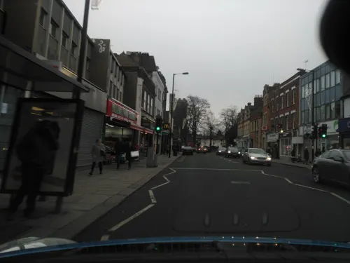
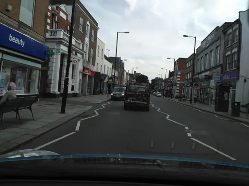
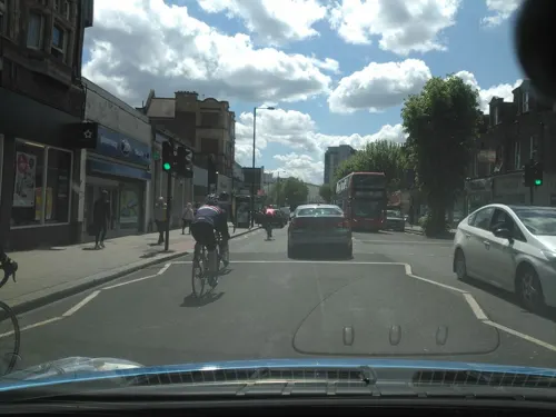
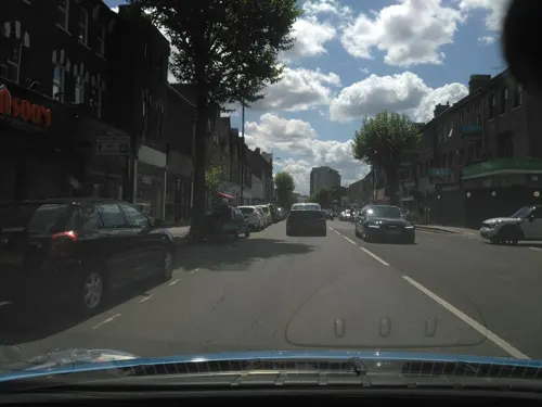
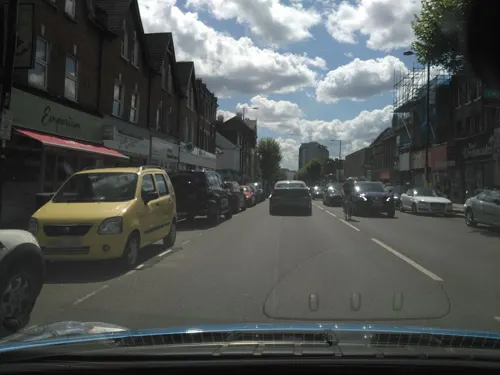
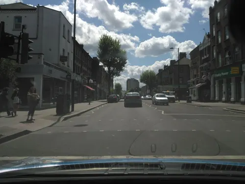
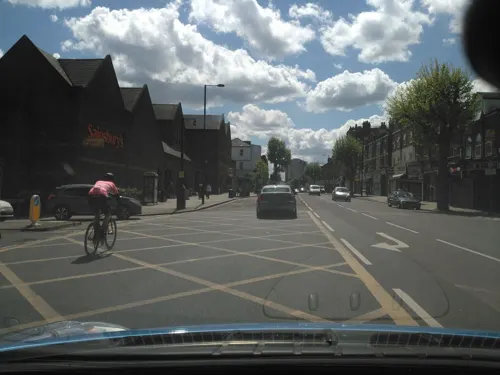
99 more on the map.
History
This area was called Tataridge in the 13th century. It may have been named after someone called Tata. The ridge is the high ground between the valleys of the Dollis Brook and Folly Brook. Over the centuries the rural qualities of Totteridge have attracted well-to-do families. Cardinal Manning was born at Copped Hall in Totteridge in 1808. With the opening of the Great Northern Railway station in 1872, late-Victorian and Edwardian mansions were built around the old village. In line with overall trends in the late 1930s, following the conversion of the railway station (in operation from 1872 until 1941) into a London Underground station (from 1940) on the Northern line, smaller properties were built within walking distance of the station (Totteridge and Whetstone tube station). In 1968 much of Totteridge was designated a Conservation Area, and no major developments have taken place since then.
Read more of the history
Totteridge was a detached part of the parish of Hatfield, Hertfordshire covering an area of 1,604 acres (6.49 km2) and formed part of a narrow salient into Middlesex. It became part of Barnet Rural District and had a parish council from 1894 to 1914. It then formed part of Barnet Urban District from 1914 to 1965. On 1 April 1965, the parish and urban district were abolished by the London Government Act 1963 and the area was transferred from Hertfordshire to Greater London, to become part of the London Borough of Barnet. In 1901 the parish had a population of 844 and by 1951 it had risen to 4,500.
From the History section of Totteridge on Wikipedia, under CC BY-SA 4.0.
More about Totteridge
Geography
The boundary to the north and east is the Dollis Brook and the boundary to the south is that river's tributary, the Folly Brook. While these rivers define the area covered by the residents' association, the southern part of the area (with postcode N12 rather than N20) is often regarded as being in Woodside Park.
The main road is the A5109, which runs roughly east–west. The western part is called Totteridge Common, the next part is called Totteridge Village, the central part by the village green is called Totteridge Green, and the eastern part is called Totteridge Lane; the Lane continues into Whetstone, terminating at its junction with High Road, Whetstone (the A1000). At the western end of Totteridge Common is a set of traffic lights; the road to the north from these lights, Hendon Wood Lane, is just to the west of the western boundary.
From the Wikipedia article Totteridge, under CC BY-SA 4.0.
Notable people from Totteridge
 Henry Edward ManningEnglish Catholic archbishop and cardinal (1808–1892)Photo: Alexander Bassano, Public domain
- Martin LowsonBritish aerospace engineer
- Henry Hare, 2nd Baron ColeraineIrish peer and politician
- Kenneth BiggsRecipient of the Georg Cross
Born in Totteridge, according to Wikidata (CC0). Each name links to its Wikipedia article.
Where to stay3
Churches and places of worship44
St John the Baptist Church
Church · Anglican · 1.4 mi
2 Wood Street, Barnet
Church of St Cyril of Turau and All the Patron Saints of the Belarusian People
Church · Greek Catholic · 1.3 mi
Holden Avenue, London
All Saints' Friern Barnet
Church · Anglican · 1.5 mi
122 Oakleigh Road North, London
Shopping18
Gas and EV charging4
Schools, colleges and libraries26
Sacred Heart Roman Catholic Primary School
School · Roman Catholic · 1.5 mi
2 Oakleigh Park South, London
Healthcare9
Map of Totteridge
250 places. The map loads OpenStreetMap tiles when you open it.
Getting there and nearby towns
RAF Northolt (NHT) is the nearest airport with scheduled flights listed in OpenStreetMap, 11 miles away.
- Wood Green 4 mi southeast, about 7 min by car
- Enfield Town 5 mi east, about 8 min by car
- Archway 5 mi southeast, about 9 min by car
- Tottenham 6 mi east, about 10 min by car
- Harrow 7 mi southwest, about 11 min by car
- Islington 8 mi southeast, about 13 min by car
- Walthamstow 8 mi east, about 13 min by car
- Waltham Cross 8 mi northeast, about 13 min by car
- London 9 mi south, about 15 min by car
- Watford 9 mi west, about 14 min by car
Drive times are estimates from straight-line distance, not routes.
Towns near Totteridge


Keep exploring
Local news
Headlines from INDB.
Reviews, tips and questions
Loading what members have shared...
Sources and licences
- GeoNames (CC BY 4.0): population, coordinates, regions and time zone
- Mapillary (see each image): photos
- OpenStreetMap contributors (ODbL 1.0): places, airports, map data
- Wikidata (CC0 1.0): elevation, founding date, time zone, website, landmarks and historic places
- Wikimedia Commons (see each image): photos
- Wikipedia (CC BY-SA 4.0): overview and history text
Photo credits
- St Andrew's church, Totteridge July 2018 01, Philafrenzy, CC BY-SA 4.0
- St Andrew's church, Totteridge July 2018 02, Philafrenzy, CC BY-SA 4.0
- St Andrew's church, Totteridge July 2018 03, Philafrenzy, CC BY-SA 4.0
- St Andrew's church, Totteridge July 2018 05, Philafrenzy, CC BY-SA 4.0
- 1727 grave of Sir Peter Meyer, merchant, at St. Andrew, Totteridge, Barnet, London, detail, Stileaf, CC BY-SA 4.0
- St Andrew's church, Totteridge, foodbank collection point July 2018, Philafrenzy, CC BY-SA 4.0
- Barnet Museum, Lucas Kendall, CC BY-SA 4.0
- Church Farmhouse Museum, Grim23, CC BY-SA 3.0
- Belarusian library London, Aleksandrs Čaičics, Public domain
- The Noble Sage, East Finchley art gallery (354235321), Mark Hillary from São Paulo, Brazil, CC BY 2.0
- Greenhill Gardens, Dudley Miles, Public domain
- Swan Lane Open Space pond, Dudley Miles, CC BY-SA 3.0
- Barfield Allotments Nature Park, Dudley Miles, CC0
- St John the Baptist, High Barnet 2025-03-16, Matt Brown, CC BY 2.0
- Holy Trinity Lyonsdown 01, Philafrenzy, CC BY-SA 4.0
- All Saints' Church, East Finchley 05, Philafrenzy, CC BY-SA 4.0
- Station Road, New Barnet, Anonymous Unknown author, Public domain
- Barnet United Reformed Church, August 2026, Lucas Kendall, CC BY-SA 4.0
- Christ Church North Finchley 30 September 2016 04, Philafrenzy, CC BY-SA 4.0
- Christ Church Barnet, Lucas Kendall, CC BY-SA 4.0
- East Finchley Baptist Church Sept 2016, Philafrenzy, CC BY-SA 4.0
- Entrance of Barnet Hospital, Lucas Kendall, CC BY-SA 4.0
- Darland's Lake 4, Dudley Miles, Public domain
- Queen Elizabeth's Girls' School 03, Philafrenzy, CC BY-SA 4.0
- The Spires, Barnet, Lucas Kendall, CC BY-SA 4.0
- Odeon cinema Barnet in Everyman group branding, Philafrenzy, CC BY-SA 4.0
- Church of St Cyril of Turau and All the Patron Saints of the Belarusian People (2016-11-24), Nieszczarda2, CC BY-SA 4.0
- The whetstone outside The Griffin, Whetstone, July 2021 01, No Swan So Fine, CC BY-SA 4.0
- The whetstone outside The Griffin, Whetstone, July 2021 02, No Swan So Fine, CC BY-SA 4.0
- Darlands Lake 2, Dudley Miles, Public domain
- Arrandene Open Space, Dudley Miles, Public domain
- Arkley South Field, Dudley Miles, Public domain
- Arkley Lane, Dudley Miles, Public domain
- Ashley Lane, Dudley Miles, Public domain
- Totteridge Common Long Pond, Dudley Miles, Public domain
- Whitings Hill Open Space, Dudley Miles, Public domain
- Barnet Countryside Centre from Byng Road, Dudley Miles, CC0
- Highlands Gardens 06, Philafrenzy, CC BY-SA 4.0
- Totteridge War Memorial, oatsy40, CC BY 2.0
- Old Bull, High Barnet, EN5, Ewan-M, CC BY-SA 2.0
- Griffin, Whetstone, N20 (5047191878), Ewan Munro from London, UK, CC BY-SA 2.0
- Street-level photo, zymurgic, CC BY-SA 4.0
- Street-level photo, zymurgic, CC BY-SA 4.0
- Street-level photo, zymurgic, CC BY-SA 4.0
- Street-level photo, zymurgic, CC BY-SA 4.0
- Street-level photo, zymurgic, CC BY-SA 4.0
- Street-level photo, zymurgic, CC BY-SA 4.0
- Street-level photo, zymurgic, CC BY-SA 4.0
- Street-level photo, zymurgic, CC BY-SA 4.0
- Street-level photo, smsm1, CC BY-SA 4.0
- Street-level photo, zymurgic, CC BY-SA 4.0
- Street-level photo, zymurgic, CC BY-SA 4.0
- Street-level photo, zymurgic, CC BY-SA 4.0
- Street-level photo, matth81, CC BY-SA 4.0
- Street-level photo, zymurgic, CC BY-SA 4.0
- Street-level photo, matth81, CC BY-SA 4.0
- Street-level photo, zymurgic, CC BY-SA 4.0
- Street-level photo, zymurgic, CC BY-SA 4.0
- Street-level photo, zymurgic, CC BY-SA 4.0
- Street-level photo, zymurgic, CC BY-SA 4.0
- Street-level photo, zymurgic, CC BY-SA 4.0
- Street-level photo, zymurgic, CC BY-SA 4.0
- Street-level photo, zymurgic, CC BY-SA 4.0
- Street-level photo, zymurgic, CC BY-SA 4.0
- Street-level photo, gness, CC BY-SA 4.0
- Street-level photo, southglos, CC BY-SA 4.0
- Street-level photo, zymurgic, CC BY-SA 4.0
- Street-level photo, southglos, CC BY-SA 4.0


Page built November 10, 2026. Spotted a mistake? Tell us or suggest a place.