


Why visit Purton
Townapedia lists 4 museums and landmarks, 5 parks and trails, 9 places to eat and 3 attractions in and around town.
Highlights include Dora's Dairy, Purton Museum, Ringsbury Camp and Lydiard Park.
Weather in Purton
Forecast from MET Norway (CC BY 4.0). Full forecast
About Purton
Purton is a large village and civil parish in north Wiltshire, England, about 4 miles (6 km) northwest of the centre of Swindon. The parish includes the village of Purton Stoke and the hamlets of Bentham, Hayes Knoll, Purton Common, Restrop, The Fox and Widham.
From the Wikipedia article Purton (this version), under CC BY-SA 4.0.
Things to do3
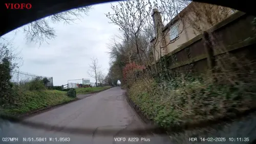

Dora's Dairy
Farm and orchard · 0.8 mi
Natural Raw Milk as nature designed it fresh from Quarry Farm. While you’re here, don’t miss our freezer stocked with our grass fed...
The Hyde, Purton, Swindon
Mo-Su 07:00-19:00

Museums and landmarks4
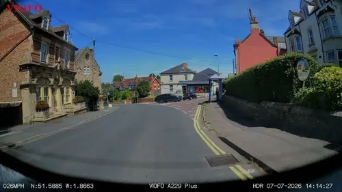

Ringsbury Camp
Monument and historic site · 1.0 mi
Hillfort in Wiltshire, England, UK
Parks, trails and playgrounds5

Lydiard Park
Park · 1.9 mi
Country park in Swindon, Wiltshire, England, UK
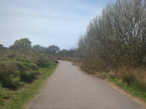
Mouldon Hill Country Park
Park · 1.9 mi
Country park in Wiltshire, England, UK

Restaurants and cafes9


History
The toponym Purton is derived from the Old English pirige for "pear" and tun for "enclosure" or "homestead".
Ringsbury Camp has evidence of settlement during the Neolithic period but is considered to be an Iron Age hill fort dating from about 50 BC. There is a suggestion that the remains of a Roman villa lie under the soil at Pavenhill, on the Braydon side of Purton. At The Fox on the east side of the village, grave goods and bodies from a pagan Saxon cemetery have been excavated.
The earliest known written record of Purton dates from AD 796 when the Saxon King Ecgfrith of Mercia gave 35 hides from Purton to the Benedictine Malmesbury Abbey. The Abbot of Malmesbury continued to be the chief landlord of Purton throughout Saxon and Norman times, suggesting that an earlier church stood at Purton.
The ancient royal hunting forest of Bradon stretches out to Minety in the west. In ancient times it encompassed about 30,000 acres.
It is thought a battle took place during the English Civil War in the Restrop area. A cannonball was discovered in the area and several place names refer to a battle, including the alternative name of Restrop Road, Red Street (which may signify the road was covered in blood) and Battlewell. A mile away are Battle Lake in Braydon Wood, and Battlelake Farm.
Read more of the history
The Cheltenham and Great Western Union Railway which runs south-east to north-west through the parish was opened in 1841, and was absorbed by the Great Western Railway in 1843. Purton station opened in 1841 to the north of the village, in the hamlet of Widham. The station closed in 1963 but the line remains open.
The tithing of Braydon, in the west of the parish, became a separate civil parish in 1866.
There are a number of concrete pillboxes in the parish, which were part of the defences of Southern England during the Second World War. They form part of the GHQ Line Red, along which an anti-tank trench also ran, between Ballards Ash near Royal Wootton Bassett and the River Ray near Blunsdon railway station.
RAF Blakehill Farm, north of Purton Stoke, was a RAF Transport Command station that operated from 1944 until 1946; its site, mostly in Cricklade parish, has returned to farmland. United States troops were stationed in Braydon Wood, and attended dances at the Angel Hotel. Anti-tank devices (chains across the road, set in concrete blocks) were installed on the parish boundary across Tadpole Bridge that spans the River Ray. The Cenotaph on Purton High Street is a memorial to those who died in both world wars.
Volume 18 of the Wiltshire Victoria County History, published in 2011, covers Purton.
From the History section of Purton on Wikipedia, under CC BY-SA 4.0.
More about Purton
Geography
The River Key, a tributary of the Thames, crosses the parish near Purton Stoke.
The village is a linear settlement along the old road between the historic market towns of Cricklade, 4 miles (6.4 km) to the north, and Royal Wootton Bassett, 3 miles (4.8 km) to the south. It is now on a minor road, 3 miles (4.8 km) from junction 16 of the M4 motorway. The village is on the brow of a hill, with views across to Cricklade and the Thames floodplain. Nearby, the area once covered by Braydon Forest stretches out to Minety in the west.
Ridgeway Farm, a 700-house development of the early 21st century which extends Swindon's western suburbs, is in the east of the parish.
Education
Bradon Forest School is the area's secondary school. It was built in 1962 and caters for pupils from Purton parish, Lydiard Millicent, Cricklade, Ashton Keynes and West Swindon. The school is in the centre of the village, south of the High Street.
On an adjacent site, St Mary's Church of England Primary School was opened in 2012, funded by the government's Primary Capital Programme and built on the site of the former junior school. Previously the school was split between two sites, with infants taught in the original Victorian building which opened in 1861 while juniors were in nearby buildings which opened in the early 1970s, along with the school's swimming pool.
In the east of the parish, Ridgeway Farm CE Academy (a primary school) was built in 2016 to serve the newly developed housing area.
Until 1978, Purton Stoke had its own primary school, on the Purton to Cricklade road, which opened in 1894 and at its peak had 100 pupils. However, numbers dropped continually from the 1930s when older pupils began to be educated in Purton, until there were only around 30 pupils left in the 1970s. The school closed in 1978. The building is now used by the Jubilee Gardens Project, a charity which provides education and training for adults with learning difficulties.
From the Wikipedia article Purton, under CC BY-SA 4.0.
Notable people from Purton
 Desmond MorrisBritish zoologist and ethologist (1928–2026)Photo: Eric Koch for Anefo, CC BY-SA 3.0
Born in Purton, according to Wikidata (CC0). Each name links to its Wikipedia article.
Churches and places of worship4
Shopping1
Schools, colleges and libraries4
Healthcare1
Map of Purton
31 places. The map loads OpenStreetMap tiles when you open it.
Getting there and nearby towns
RAF Fairford (FFD) is the nearest airport with scheduled flights listed in OpenStreetMap, 7 miles away.
- Lydiard Millicent 1 mi south, about 2 min by car
- Royal Wootton Bassett 3 mi south, about 6 min by car
- Broad Blunsdon 4 mi east, about 7 min by car
- Swindon 5 mi southeast, about 7 min by car
- Ashton Keynes 5 mi northwest, about 7 min by car
- South Cerney 6 mi northwest, about 10 min by car
- Chiseldon 8 mi southeast, about 13 min by car
- Wanborough 8 mi southeast, about 13 min by car
- Cirencester 10 mi northwest, about 16 min by car
- Calne 12 mi southwest, about 19 min by car
Drive times are estimates from straight-line distance, not routes.
Towns near Purton


Keep exploring
Local news
Headlines from INDB.
Reviews, tips and questions
Loading what members have shared...
Sources and licences
- GeoNames (CC BY 4.0): population, coordinates, regions and time zone
- Mapillary (see each image): photos
- OpenStreetMap contributors (ODbL 1.0): places, airports, map data
- Wikidata (CC0 1.0): elevation, founding date, time zone, website, landmarks and historic places
- Wikimedia Commons (see each image): photos
- Wikipedia (CC BY-SA 4.0): overview and history text
Photo credits
- Lydiard House, Swindon, Delta 51, CC BY-SA 4.0
- All Saints Church Leigh Wiltshire, Roger Cornfoot, CC BY-SA 2.0
- St Mary's Church, Purton, Nigel Cox, CC BY-SA 2.0
- Street-level photo, RyanBush, CC BY-SA 4.0
- Street-level photo, RyanBush, CC BY-SA 4.0
- Street-level photo, swinetown, CC BY-SA 4.0
- Street-level photo, swinetown, CC BY-SA 4.0
- Street-level photo, RyanBush, CC BY-SA 4.0
- Street-level photo, RyanBush, CC BY-SA 4.0
- Street-level photo, RyanBush, CC BY-SA 4.0
- Street-level photo, RyanBush, CC BY-SA 4.0
- Street-level photo, RyanBush, CC BY-SA 4.0
- Street-level photo, RyanBush, CC BY-SA 4.0
- Street-level photo, southglos, CC BY-SA 4.0
- Street-level photo, RyanBush, CC BY-SA 4.0
- Street-level photo, RyanBush, CC BY-SA 4.0
Page built November 10, 2026. Spotted a mistake? Tell us or suggest a place.