
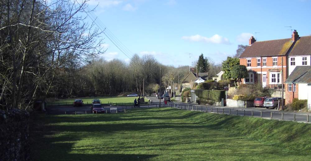


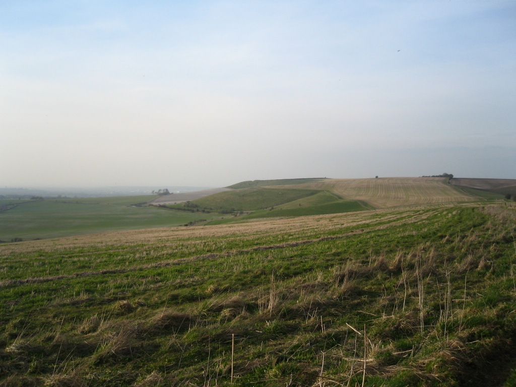

Chiseldon, United Kingdom
Chiseldon is a town of 2,090 people in England, United Kingdom.
Why visit Chiseldon
Townapedia lists 5 museums and landmarks, 5 parks and trails, 8 places to eat, 2 places to stay and 3 attractions in and around town.
Highlights include Three Trees Farm Shop, Chiseldon Museum, Liddington Castle and Coate Water Country Park.
Weather in Chiseldon
Forecast from MET Norway (CC BY 4.0). Full forecast
About Chiseldon
Chiseldon is a village and civil parish in the Borough of Swindon, Wiltshire, England. The village lies on the edge of the Marlborough Downs, a mile south of junction 15 of the M4 motorway, on the A346 between Swindon and Marlborough. The large village of Wroughton is 2.5 miles (4 km) to the west. The parish includes the hamlets of Badbury, Badbury Wick, Draycot Foliat, Hodson, and Ridgeway View; the ancient manor of Burderop is also within the parish.
From the Wikipedia article Chiseldon (this version), under CC BY-SA 4.0.
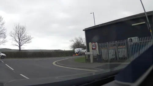
Photos of Chiseldon

Things to do3

Museums and landmarks5

Liddington Castle
Monument and historic site · 1.4 mi
Bronze Age Hill Fort
24/7

Barbury Castle
Monument and historic site · 3.2 mi
Hill fort in England

Day House Lane Stone Circle
Monument and historic site · 1.7 mi
Stone circle in South Swindon, Wiltshire, England, UK
Fir Clump Stone Circle
Monument and historic site · 1.9 mi
Destroyed prehistoric sandstone megalith circle
Parks, trails and playgrounds5

Coate Water Country Park
Park · 1.8 mi
Country park in Wiltshire, England

Town Gardens
Park · 3.1 mi
Park and gardens in Swindon, Wiltshire, England


Restaurants and cafes8

The Plough on the Hill
Bar and pub · 0.5 mi
Marlborough Road, Swindon
Mo-Sa 09:30-23:00; Su 11:00-22:00


History
Settlements in the area date back to prehistoric and Roman times, but Chiseldon itself was started by the Saxons. The Domesday Book of 1086 recorded a large settlement of 70 households at Chiseldene. It takes its name from the Old English cisel dene, or gravel valley. At one point the nearby hamlet of Draycot Foliat was larger than Chiseldon. Chiseldon lies on one of the country's oldest highways, the Icknield Way, although this section of the road is more commonly known as The Ridgeway.
The spelling "Chisledon" has also been used, and continues in the name of the ecclesiastical parish.
In 2004, a group of Iron Age cauldrons were discovered at a site close to the centre of the village. This unique find, the largest group of Iron Age cauldrons to be discovered in Europe, was excavated in June 2005 and again in 2010. Now thought to comprise 17 cauldrons, they were taken to the British Museum for conservation and research.
The Midland and South Western Junction Railway was constructed in 1881 and ran through the centre of the village until 1961, with a station that linked the village to Swindon Town station to the north and Marlborough to the south.
Read more of the history
Chiseldon Army Camp was opened in 1914 and closed in 1962. During both World Wars it was heavily used as a training base for troops. A World War I soldier, Arthur Bullock, recorded overcrowding and appalling conditions, including, in the canteen, having to re-use tables and plates from a previous sitting, on which lay 'bones and chewed bits of gristle'. He also recalls being kept awake by a St Bernard dog, 'the mascot of the camp'. In World War II the camp was a major base for US Army troops. Houses which were formerly married quarters are now known as Ridgeway View.
An area in and around the village was designated as a Conservation Area in 1990.
The Chiseldon Local History Group maintains a website with information about the history of the village. They also organise a programme of lectures and have a museum in the village.
From the History section of Chiseldon on Wikipedia, under CC BY-SA 4.0.
Notable people from Chiseldon
 Anthony ForsterBritish political scientist and British Army officerPhoto: Essex Comms, CC BY 2.0
Born in Chiseldon, according to Wikidata (CC0). Each name links to its Wikipedia article.
Where to stay2
Churches and places of worship5
Shopping1
Gas and EV charging2
Schools, colleges and libraries3
Map of Chiseldon
34 places. The map loads OpenStreetMap tiles when you open it.
Getting there and nearby towns
RAF Fairford (FFD) is the nearest airport with scheduled flights listed in OpenStreetMap, 12 miles away.
- Wanborough 2 mi northeast, about 4 min by car
- Swindon 4 mi northwest, about 6 min by car
- Aldbourne 5 mi southeast, about 9 min by car
- Broad Blunsdon 7 mi north, about 11 min by car
- Lydiard Millicent 7 mi northwest, about 11 min by car
- Ramsbury 7 mi southeast, about 12 min by car
- Royal Wootton Bassett 8 mi west, about 12 min by car
- Great Bedwyn 11 mi southeast, about 18 min by car
- Burbage 12 mi south, about 19 min by car
- Calne 13 mi southwest, about 21 min by car
Drive times are estimates from straight-line distance, not routes.
Towns near Chiseldon


Keep exploring
Local news
Headlines from INDB.
Reviews, tips and questions
Loading what members have shared...
Sources and licences
- GeoNames (CC BY 4.0): population, coordinates, regions and time zone
- Mapillary (see each image): photos
- OpenStreetMap contributors (ODbL 1.0): places, airports, map data
- Wikidata (CC0 1.0): elevation, founding date, time zone, website, landmarks and historic places
- Wikimedia Commons (see each image): photos
- Wikipedia (CC BY-SA 4.0): overview and history text
Photo credits
- ChiseldonGreen, User:Hoos-foos, Public domain
- Barbury Hill Iron Age Fort, Geotrekker72, CC BY-SA 4.0
- England 259, My another account ( talk ), CC0
- St Andrew's Church, Wanborough, Brian Robert Marshall, CC BY-SA 2.0
- Ridgeway 09 Liddington Hill Fort, Philipjelley, CC BY-SA 3.0
- Holy Cross Church Chiseldon, Lorddunvegan, CC BY-SA 3.0
- Wiltshire-LiddingtonCastle, Mik Peach, CC BY-SA 4.0
- Bandstand in the Town Gardens, Swindon, surrounded by sunflowers and other plants, Patch86UK, CC0
- Coate Water Country Park, Swindon, Delta 51, CC BY-SA 4.0
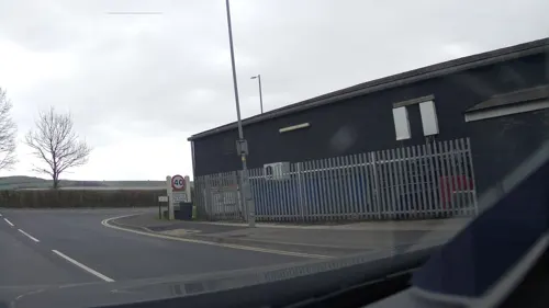
- Street-level photo, RyanBush, CC BY-SA 4.0
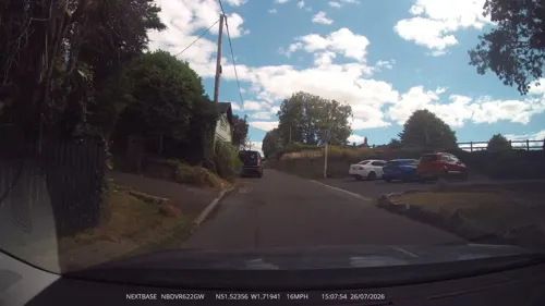
- Street-level photo, RyanBush, CC BY-SA 4.0
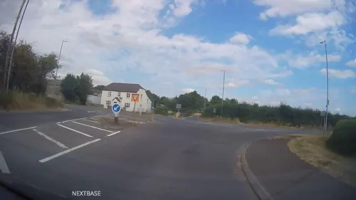
- Street-level photo, RyanBush, CC BY-SA 4.0
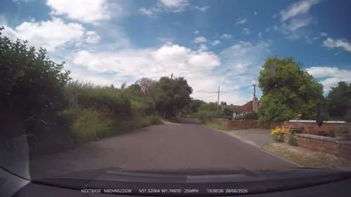
- Street-level photo, RyanBush, CC BY-SA 4.0
- Street-level photo, swinetown, CC BY-SA 4.0
- Street-level photo, RyanBush, CC BY-SA 4.0
- Street-level photo, southglos, CC BY-SA 4.0
- Street-level photo, southglos, CC BY-SA 4.0
- Street-level photo, swinetown, CC BY-SA 4.0
- Street-level photo, swinetown, CC BY-SA 4.0
- Street-level photo, swinetown, CC BY-SA 4.0
Page built November 10, 2026. Spotted a mistake? Tell us or suggest a place.