




Why visit Raglan
Townapedia lists 2 museums and landmarks and 5 places to eat in and around town.
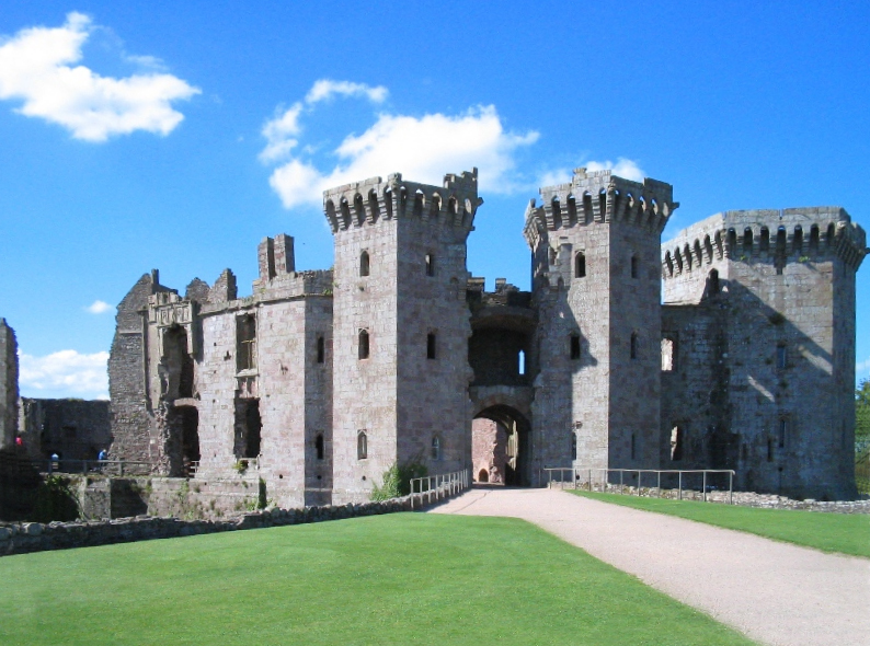
Highlights include Raglan Castle.
Weather in Raglan
Forecast from MET Norway (CC BY 4.0). Full forecast
About Raglan
Raglan (; Welsh: Rhaglan) is a village and community in Monmouthshire, south-east Wales. It is located some 9 miles south-west of Monmouth, midway between Monmouth and Abergavenny on the A40 road very near to the junction with the A449 road. It is the location of Raglan Castle, built for William ap Thomas and now maintained by Cadw. The community includes the villages of Llandenny and Pen-y-clawdd.
From the Wikipedia article Raglan, Monmouthshire (this version), under CC BY-SA 4.0.
Travel tips from other travellers: Raglan on Wikivoyage (CC BY-SA 4.0).
Photos of Raglan


Museums and landmarks2


Restaurants and cafes5

Raglan Fryer
Fast food · Fish And Chips
High Street, Monmouth
Mo-Sa 12:00-14:00,17:00-21:00

The Cripple Creek Inn
Bar and pub · Bistro · 1.0 mi
Old Abergavenny Road, Monmouth
Mo 12:00-14:30,18:00-21:00; Tu 12:00-21:30; We-Sa 12:00-23:00; Su...

Churches and places of worship13

Church of St Govan
Church · 3.1 mi
Church in Monmouthshire, United Kingdom
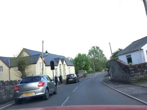

St Dingat's Church, Dingestow
Church · 3.3 mi
Church in Dingestow, Monmouthshire, Wales

St Peter's Church
Church · 1.7 mi
Church in Bryngwyn, Monmouthshire, Wales
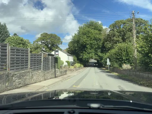

Church of St Mary and St Michael, Llanarth
Church · 2.6 mi
Church in Monmouthshire, United Kingdom
St Aeddan's Church
Church · 3.3 mi
Church in Bettws Newydd, Monmouthshire, Wales
St Cadoc's Church
Church · 2.5 mi
Church in Penrhos, Monmouthshire, Wales
St Martin's Church
Church · 2.5 mi
Church in Pen-y-clawdd, Monmouthshire, Wales
St Mary's Church
Church · 1.6 mi
Church in Tregare, Monmouthshire, Wales
St Teilo's Church
Church · 3.0 mi
Church in Llanarth, Monmouthshire, Wales
1 more on the map.
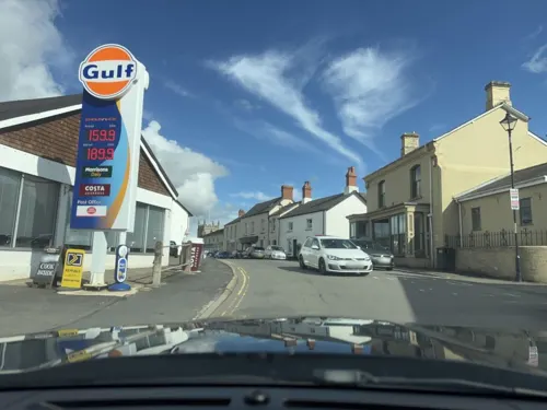
Gas and EV charging1
History
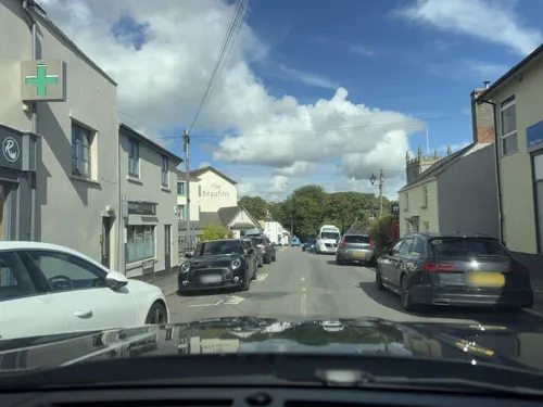
The village stands at the crossing point of two Roman roads, that from Gloucester to Usk, and that from Chepstow to Abergavenny. Raglan was first mentioned in the will of Walter de Clare. The earliest market in Raglan was recorded in 1354. The market cross stands in the edge of the crossroads between the church and the Beaufort Arms Inn. It now consists only of the base, with a lamp post mounted on top. In the large space around this stone the markets were held, the base of the cross forming the table on which bargains were struck.
Read more of the history
The agricultural roots of Raglan are illustrated by a 1397 account of discussions between the reeve Ieuan Hire and Ieuan ap Grono and haywards (hedge wardens) Iorwerth ap Gwillym and Hoe ap Gwillym Goch, held in the records depository at Badminton House. The earliest records of the manor of Raglan Court are found in 26 October – 28 July 1391 during the reign of Richard II. At this time Raglan Castle was probably no more than a hill fort. After 1415 Raglan Castle was greatly expanded and by 1587 contemporary descriptions refer to Raglan as a town. For the court, 13 July 1587, the marginal heading reads Burgus de Ragland cum Curia Manerii de Ragland cum membris and the caption becomes 'The Court of William Somerset, 3rd Earl of Worcester of his said borough and the Court of the said Earl of his said manor with members'. From 1 June 1587 onwards most courts refer to the Borough of Ragland in the following manner: 'The Court of the said manor with the Court of the borough or the town of Ragland'.
By 1632, a courthouse was established in Raglan; the Badminton record stating, "the jury to meet at the Court House at Ragland the 25th March next by ten of the clock under peyn of xls. apeece to have a view and inquire of lands in Landenny (Llandenny) and Ragland late of Philip David Morris", (Dec. 1632). Subsequent leet courts refer to the liberty of Raglan and in 1682 the hundred of Ragland is mentioned. Court Roll excerpts reflect the issues of the day: In 1680, ‘The bridge called Pontleecke upon the highway leading from Raglan towards Chepstow to be out of repair. Moses Morgan fined for not spending 14s of the parish money towards repairing the stocks and whipping post in the parish of Raglan’. In 1695 the repair of bridges are still under discussion, ‘The bridge called Pont y bonehouse in the town of Raglan, 1695. John Curre, gent., steward’.
The local railway station closed in 1955. The railway station buildings have been removed to St Fagans. The village continued to be an important thoroughfare in the 18th and 19th centuries, which explains its three substantial coaching inns the Beaufort Arms, the Ship and the Crown where the mail coaches would stop. The Crown is now closed.
Castle Street runs north from the village to the castle, although it is now bisected by the A449. The village end of the street contains six Listed buildings; Castell Coch, Exmoor House, and The Malthouse, which form a continuous terrace on the eastern side, and 7, and 8, Castle Street and The Old Post Office, which form a run on the western side. Other listed buildings in the village include the Baptist Chapel, the Post Office, and village store, Elm Cottages on the Chepstow Road, a milestone on the old Monmouth Road which records the distances "To Monmouth 7 Miles, Raglan Police Station 3/4", and the telephone box in the centre of the village which is to the K6 design and dates from the reign of George VI.
The English Civil War had disastrous consequences both for the castle and the village. The castle was under siege for two months from 3 June to 19 August 1646 by Parliamentarian forces, finally surrendering to Thomas Morgan. It was then slighted to prevent refortification. In the 18th century the ruins were neglected and were used as a quarry for those needing stone to repair their houses: dressed and moulded stones can be seen in farmhouses and cottages in the area. The castle is now maintained by Cadw, although the Duke of Beaufort remains its hereditary keeper.
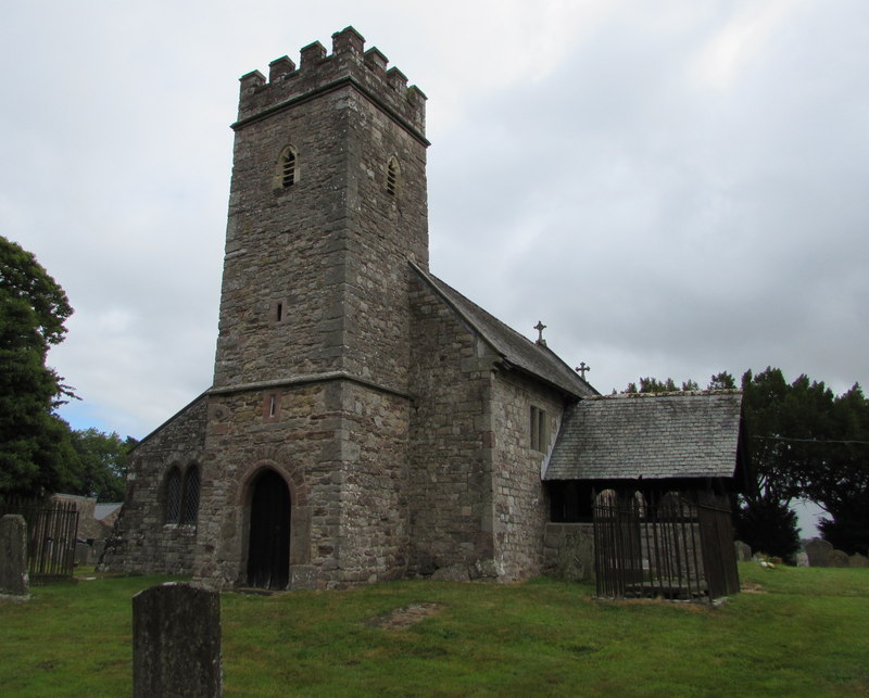
St Cadoc's is a substantial mediaeval church, extensively restored in the 19th century by Thomas Henry Wyatt. It houses some much-defaced tombs of the Lords of Raglan. The base of a fine pilgrim's cross can be seen in the churchyard. The first part of the church was built during the 14th century. The church is a Grade II* listed building.
On Broom Lane, to the east of Broom House, stands a medieval stone cross, 1.9 metres (6.2 ft) high, with an octagonal shaft. The cross is a Grade I listed structure and a scheduled monument.
From the History section of Raglan, Monmouthshire on Wikipedia, under CC BY-SA 4.0.
Notable people from Raglan
- Richard CrawleyWelsh writer and academic (1840–1893)
- Robert JonesWelsh soldier (1857–1898); recipient of the Victoria Cross
Born in Raglan, according to Wikidata (CC0). Each name links to its Wikipedia article.
Schools, colleges and libraries1
Healthcare1
Map of Raglan
23 places. The map loads OpenStreetMap tiles when you open it.
Getting there and nearby towns
Bristol Airport (BRS) is the nearest airport with scheduled flights listed in OpenStreetMap, 27 miles away.
- Usk 5 mi southwest, about 8 min by car
- Monmouth 7 mi northeast, about 11 min by car
- Abergavenny 8 mi northwest, about 13 min by car
- Pontypool 9 mi southwest, about 15 min by car
- Coleford 10 mi east, about 17 min by car
- Cwmbran 11 mi southwest, about 17 min by car
- Chepstow 11 mi southeast, about 18 min by car
- Abertillery 12 mi west, about 20 min by car
- Bream 12 mi east, about 19 min by car
- Newport 14 mi southwest, about 22 min by car
Drive times are estimates from straight-line distance, not routes.
Towns near Raglan


Keep exploring
Local news
Headlines from INDB.
Reviews, tips and questions
Loading what members have shared...
Sources and licences
- GeoNames (CC BY 4.0): population, coordinates, regions and time zone
- Mapillary (see each image): photos
- OpenStreetMap contributors (ODbL 1.0): places, airports, map data
- Wikidata (CC0 1.0): elevation, founding date, time zone, website, landmarks and historic places
- Wikimedia Commons (see each image): photos
- Wikipedia (CC BY-SA 4.0): overview and history text
Photo credits
- SDJ Raglan Castle Front, The original uploader was Sam jervis at English Wikipedia ., CC BY-SA 3.0
- Llangovan 023, Martinevans123, CC BY-SA 3.0
- St Dingat's Church, Dingestow, Jaggery, CC BY-SA 2.0
- St Peter's Church, Bryngwyn, Jaggery, CC BY-SA 2.0
- Raglan Castle, Monmouthshire 01, Tyssil, CC BY-SA 3.0
- The Ship Inn Raglan 2022, Victuallers, CC BY-SA 4.0
- Raglan Castle's main entrance, Bob McCaffrey from Rickmansworth, UK, CC BY-SA 2.0
- Almost Twins - Flickr - gailhampshire, gailhampshire from Cradley, Malvern, U.K, CC BY 2.0
- Street-level photo, swinetown, CC BY-SA 4.0
- Street-level photo, laye, CC BY-SA 4.0
- Street-level photo, laye, CC BY-SA 4.0
- Street-level photo, southglos, CC BY-SA 4.0
- Street-level photo, laye, CC BY-SA 4.0
- Street-level photo, southglos, CC BY-SA 4.0
Page built November 10, 2026. Spotted a mistake? Tell us or suggest a place.