


Abertillery, United Kingdom
Abertillery is a town of 10,946 people in Wales, United Kingdom.
Why visit Abertillery
Townapedia lists 16 museums and landmarks, 12 parks and trails, 26 places to eat, 3 places to stay and 9 attractions in and around town.
Highlights include Crumlin Viaduct, Metropole Cultural and Conference Centre, Big Pit National Coal Museum and Blaenavon Ironworks.
Weather in Abertillery
Forecast from MET Norway (CC BY 4.0). Full forecast
About Abertillery
Abertillery (; Welsh: Abertyleri) is a town and community in Blaenau Gwent County Borough, Wales. It is located in the Ebbw Fach valley, and the historic county of Monmouthshire.
From the Wikipedia article Abertillery (this version), under CC BY-SA 4.0.
Things to do9

Crumlin Viaduct
Bridge · 3.4 mi
Former viaduct crossing the Ebbw Valley

Metropole Cultural and Conference Centre
Cinema and theater
Mitre Street, Abertillery
Mo-Fr 09:00-17:00; Sa Off; Su Off


Museums and landmarks16

Big Pit National Coal Museum
Museum · 3.2 mi
Former coal mine and industrial heritage museum in Blaenavon in south-east Wales, United Kingdom

Blaenavon Ironworks
Museum · 3.8 mi
Former ironworks transformed into a museum, in Blaenavon, Wales

Engine House
Monument and historic site · 2.2 mi
Former engine house on the British Colliery land known as the British

Office and Foundry Quadrangle
Monument and historic site · 2.5 mi
Former office and foundry quadrangle on the British Colliery land known as the British



Dog Stone
Monument and historic site · 2.7 mi
Memorial in Abersychan, Torfaen
Pumping Engine House
Monument and historic site · 2.5 mi
Former Pumping Engine House on the British Colliery land known as the British
The British
Monument and historic site · 2.5 mi
Largest remaining post industrial site in South East Wales. A former coal mine.
Cross Fence House - travellors rest - Smiths
Monument and historic site · 1.3 mi
4 more on the map.
Parks, trails and playgrounds12

Blaenserchan Colliery
Hiking and trails · 2.3 mi
Rough outline
Blaensychan Colliery Track, Pontypool


Restaurants and cafes26
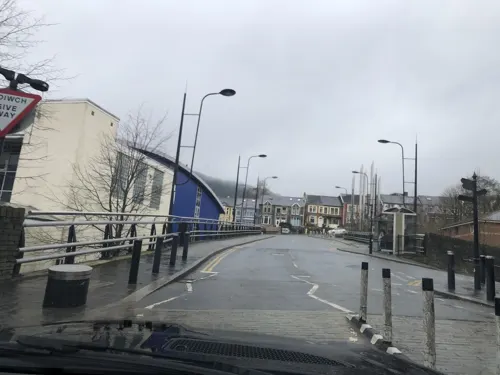
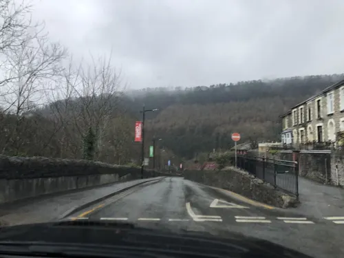
The Dolls House
Bar and pub
Gladstone Street, Abertillery
Mo-Th 12:00-23:30; Fr-Sa 12:00-00:00; Su 12:00-23:30
Tudor Brewery
Brewery and winery · 2.3 mi
Llanhilleth Industrial Estate, Llanhilleth
Mo-Th 09:00-17:00; Fr 09:00-16:30; Sa off; Su off
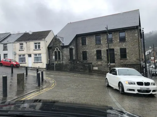
Noble Balti House
Restaurant · Indian
1 Foundry Bridge, Abertillery
Mo-Su 18:00-23:30


Ty Ebbw Fach Cafe
Cafe · Regional, Coffee Shop, Gluten Free · 0.6 mi
Chapel Road, Abertillery
Mo off; Tu off; We-Fr 12:00-14:00,17:30-20:30; Sa 12:00-15:30; Su...

The Pontlottyn
Bar and pub
14-20 Somerset Street, Abertillery
Mo,Tu,We,Th,Su 08:00-24:00; Fr,Sa 08:00-25:00
The Rolling Mill
Bar and pub
16 Church Street, Abertillery
Mo-Su 09:00-24:30
Sandra's Coffee Shop
Cafe · Coffee Shop, Breakfast, Sandwich, British
35 Church Street, Abertillery
14 more on the map.
More about Abertillery
Education
Abertillery Learning Community provides all-through education for the town and neighbouring areas. Until the 1970s the town had its own local authority-run Grammar school providing education up to the age of eighteen. Tertiary education is now provided by Coleg Gwent at Ebbw Vale – opened in 2013.
From the Wikipedia article Abertillery, under CC BY-SA 4.0.
Notable people from Abertillery
 Jack ShoreWelsh mixed martial arts (MMA) fighterPhoto: MMAnytt, CC BY 3.0
 Morgan WebsterWelsh professional wrestlerPhoto: jacquemart, CC0
- Sandy GriffithsWelsh football referee (1909–1974)
- Richard Tecwyn WilliamsWelsh biochemist (1909–1979)
- Jack MarshmanWelsh mixed martial arts fighter
- Roger CecilWelsh painter (1942–2015)
- Ness EdwardsBritish politician (1897-1968)
- Billy Daviespolitician in New South Wales, Australia (1884-1956)
- Chris TownsendWelsh professional footballer (born 1966)
- Guildhaume Myrddin-EvansWelsh civil servant (1894–1964)
- Thora SilverthorneWelsh nurse in Spanish Civil War, communist, union activist for nurses rights (1910-1999)
- Beatrice GreenWelsh labour activist (1894–1927)
Born in Abertillery, according to Wikidata (CC0). Each name links to its Wikipedia article.
Where to stay3
Churches and places of worship18
Shopping5
Gas and EV charging1
Schools, colleges and libraries10
Abertillery Learning Community (Tillery Street Primary Campus)
School · 0.4 mi
Gelli-Crug Road, Abertillery
Healthcare2
Map of Abertillery
102 places. The map loads OpenStreetMap tiles when you open it.
Getting there and nearby towns
Cardiff Airport (CWL) is the nearest airport with scheduled flights listed in OpenStreetMap, 25 miles away.
- Pontypool 4 mi southeast, about 7 min by car
- Ebbw Vale 5 mi northwest, about 7 min by car
- Brynmawr 5 mi northwest, about 9 min by car
- Bargoed 5 mi southwest, about 9 min by car
- Tredegar 6 mi northwest, about 9 min by car
- Cwmbran 7 mi southeast, about 11 min by car
- Gelligaer 7 mi southwest, about 11 min by car
- Nelson 8 mi southwest, about 13 min by car
- Risca 9 mi south, about 14 min by car
- Treharris 9 mi southwest, about 14 min by car
Drive times are estimates from straight-line distance, not routes.
Towns near Abertillery


Keep exploring
Local news
Headlines from INDB.
Reviews, tips and questions
Loading what members have shared...
Sources and licences
- GeoNames (CC BY 4.0): population, coordinates, regions and time zone
- Mapillary (see each image): photos
- OpenStreetMap contributors (ODbL 1.0): places, airports, map data
- Wikidata (CC0 1.0): elevation, founding date, time zone, website, landmarks and historic places
- Wikimedia Commons (see each image): photos
- Wikipedia (CC BY-SA 4.0): overview and history text
Photo credits
- Tyleri, Tylerian3, CC BY-SA 3.0
- Crumlin Viaduct. [graphic] / On the Taff Vale extension of the West Midland Railway - constructed exclusively of iron - length 1658 feet - height 200 feet - designed and erected by T. W. Kenard Esqr., Unknown author, Public domain
- Big Pit Mining Museum, Rafaël Delaedt ( Arafi ), CC BY-SA 2.5
- Blaenafon Ironworks-24May2008, Alan Stanton, CC BY-SA 2.0
- British Ironworks office, Abersychan, Robevans123, CC BY-SA 3.0
- Guardian3, Tylerian3, CC BY-SA 3.0
- Ebenezer Baptist Chapel in Abertillery, Unknown author, Public domain
- 20191020 Former colliery engine house at ETM Steel Fabrication 3, WFan, CC BY-SA 4.0
- Street-level photo, laye, CC BY-SA 4.0
- Street-level photo, laye, CC BY-SA 4.0
- Street-level photo, laye, CC BY-SA 4.0
- Street-level photo, laye, CC BY-SA 4.0
- Street-level photo, laye, CC BY-SA 4.0
- Street-level photo, laye, CC BY-SA 4.0
- Street-level photo, laye, CC BY-SA 4.0
- Street-level photo, laye, CC BY-SA 4.0
- Street-level photo, laye, CC BY-SA 4.0
- Street-level photo, laye, CC BY-SA 4.0
- Street-level photo, laye, CC BY-SA 4.0

Page built November 10, 2026. Spotted a mistake? Tell us or suggest a place.