



Saint Bees, United Kingdom
Saint Bees is a town of 1,644 people in England, United Kingdom.
Why visit Saint Bees
Townapedia lists 10 museums and landmarks, 6 parks and trails, 3 places to eat, 11 places to stay and 2 attractions in and around town.
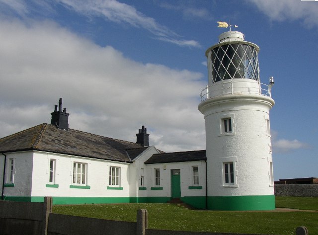
Highlights include St Bees Lighthouse, St Bees Head RSPB reserve and Clints Quarry.
Weather in Saint Bees
Forecast from MET Norway (CC BY 4.0). Full forecast
About Saint Bees
St Bees is a coastal village, civil parish and electoral ward in the Cumberland district of Cumbria, England, on the Irish Sea.
From the Wikipedia article St Bees (this version), under CC BY-SA 4.0.
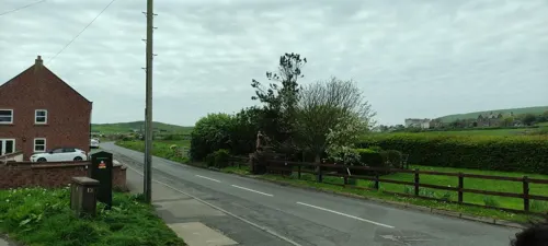
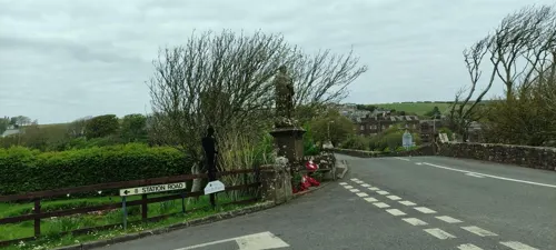
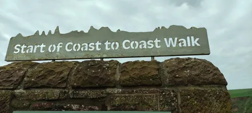
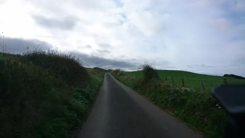
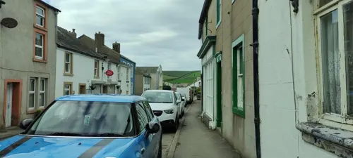
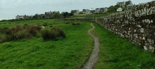
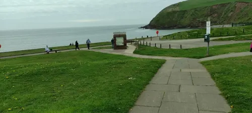
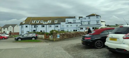
Photos of Saint Bees


Things to do2

St Bees Lighthouse
Lighthouse · 2.4 mi
Lighthouse in Cumbria, England
Museums and landmarks10

Parks, trails and playgrounds6

St Bees Head RSPB reserve
Park · 0.6 mi
RSPB nature reserve in the United Kingdom


Restaurants and cafes3
Beach Road Bakehouse & Beach Shop
Cafe · British · 0.6 mi
Beach Road, St Bees
Mo, Th-Su 09:00-17:00; Tu-We 10:00-17:00
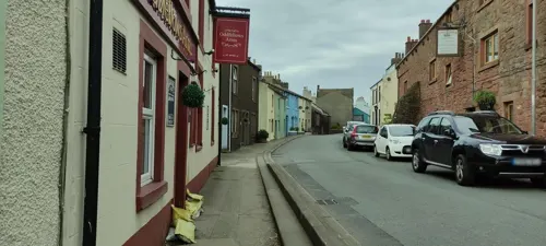
Oddfellows Arms
Bar and pub
92 Main Street, St Bees
Mo-Su 18:00-23:00
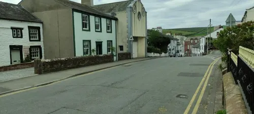
Notable people from Saint Bees
 Edmund GrindalArchbishop of CanterburyPhoto: Attributed to Dirk Vos / Follower of Dirk Vos, Public domain
 John HawkesworthOfficer in the British Army (1893-1945)Photo: Official U.S. Navy Photograph, now..., Public domain
 Edwin SandysArchbishop of YorkPhoto: School of English art, Public domain
- Percy Graham Harrisanthropologist and British colonial administrator in Nigeria
- Robert SmithEnglish cricketer, born 1982
Born in Saint Bees, according to Wikidata (CC0). Each name links to its Wikipedia article.
Where to stay11
Churches and places of worship5
Schools, colleges and libraries2
Map of Saint Bees
39 places. The map loads OpenStreetMap tiles when you open it.
Getting there and nearby towns
Walney Aerodrome (BWF) is the nearest airport with scheduled flights listed in OpenStreetMap, 29 miles away.
- Whitehaven 4 mi north, about 6 min by car
- Seascale 8 mi southeast, about 13 min by car
- Workington 11 mi north, about 17 min by car
- Ulverston 29 mi southeast, about 46 min by car
- Barrow in Furness 30 mi southeast, about 48 min by car
- Staveley 32 mi east, about 52 min by car
- Penrith 35 mi east, about 57 min by car
- Kendal 36 mi east, about 58 min by car
- Carlisle 38 mi northeast, about 1 h by car
- Dumfries 40 mi north, about 1 h by car
Drive times are estimates from straight-line distance, not routes.
Towns near Saint Bees


Keep exploring
Local news
Headlines from INDB.
Reviews, tips and questions
Loading what members have shared...
Sources and licences
- GeoNames (CC BY 4.0): population, coordinates, regions and time zone
- Mapillary (see each image): photos
- OpenStreetMap contributors (ODbL 1.0): places, airports, map data
- Wikidata (CC0 1.0): elevation, founding date, time zone, website, landmarks and historic places
- Wikimedia Commons (see each image): photos
- Wikipedia (CC BY-SA 4.0): overview and history text
Photo credits
- St Bees village panorama, Doug Sim, CC BY-SA 3.0
- StBeesLighthouse, Humphrey Bolton, CC BY-SA 2.0
- Guillemots at St Bees Head, Dougsim, CC BY-SA 3.0
- St John the Evangelist, Bigrigg, Alex, CC BY-SA 4.0
- St Leonard’s, Cleator, Alex, CC BY-SA 4.0
- St Mary & St Michael, Egremont, Alex, CC BY-SA 4.0
- St Bees Priory west autumn sun, Dougsim, CC BY-SA 3.0
- Grindal House St Bees, Nthep, CC BY-SA 4.0
- St Bees Station, H Stamper, CC BY-SA 2.0
- St Bees signal box rear aspect, Nthep, CC BY-SA 4.0
- St Bees signal box front aspect, Nthep, CC BY-SA 4.0
- Street-level photo, jethro10, CC BY-SA 4.0
- Street-level photo, jethro10, CC BY-SA 4.0
- Street-level photo, jethro10, CC BY-SA 4.0
- Street-level photo, jethro10, CC BY-SA 4.0
- Street-level photo, jethro10, CC BY-SA 4.0
- Street-level photo, jethro10, CC BY-SA 4.0
- Street-level photo, jethro10, CC BY-SA 4.0
- Street-level photo, jethro10, CC BY-SA 4.0
- Street-level photo, jethro10, CC BY-SA 4.0
- Street-level photo, jethro10, CC BY-SA 4.0
- Street-level photo, jethro10, CC BY-SA 4.0
- Street-level photo, jethro10, CC BY-SA 4.0
- Street-level photo, jethro10, CC BY-SA 4.0
- Street-level photo, g7kse, CC BY-SA 4.0
- Street-level photo, jethro10, CC BY-SA 4.0

Page built November 10, 2026. Spotted a mistake? Tell us or suggest a place.