


Snaresbrook, United Kingdom
Snaresbrook is a town of 11,868 people in England, United Kingdom.
Why visit Snaresbrook
Townapedia lists 40 museums and landmarks, 35 parks and trails, 311 places to eat, 7 places to stay and 5 attractions in and around town.
Highlights include Odeon South Woodford, Lea Bridge, God's Own Junkyard and The Temple.
Weather in Snaresbrook
Forecast from MET Norway (CC BY 4.0). Full forecast
About Snaresbrook
Snaresbrook is a district in the London Borough of Redbridge, in East London. It is located eight miles (13 kilometres) east of Charing Cross.
From the Wikipedia article Snaresbrook (this version), under CC BY-SA 4.0.
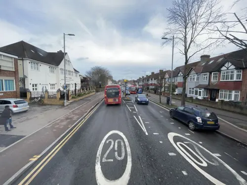
Photos of Snaresbrook


Things to do5



Museums and landmarks40

God's Own Junkyard
Museum · 1.2 mi
Art gallery in London
Shernhall Street, London
Fr-Sa 11:00-21:00; Su 11:00-18:00


Vestry House Museum
Museum · 1.4 mi
Museum in Walthamstow, London, United Kingdom
2 Vestry Road, London

Anti–Air War Memorial
Monument and historic site · 2.3 mi
Memorial in Woodford Green, London

Chingford War Memorial
Monument and historic site · 3.4 mi
War memorial in London

Dr Barnardo's Memorial
Monument and historic site · 2.8 mi
Memorial in London


Passmore Edwards Museum
Museum · 2.9 mi
Former museum in Stratford, East London

491 Gallery
Museum · 1.3 mi
Former gallery and social centre in London, England
Heritage and Communities Trust
Museum · 2.4 mi
Museum in London, England

Rothschild Mausoleum
Monument and historic site · 2.2 mi
Mausoleum in Newham, London, England, UK
28 more on the map.
Parks, trails and playgrounds35


Valentines Park
Park · 2.4 mi
Park in the London Borough of Redbridge, UK



23 more on the map.
Restaurants and cafes311
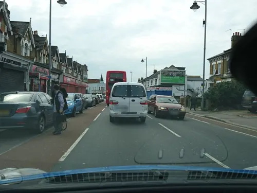
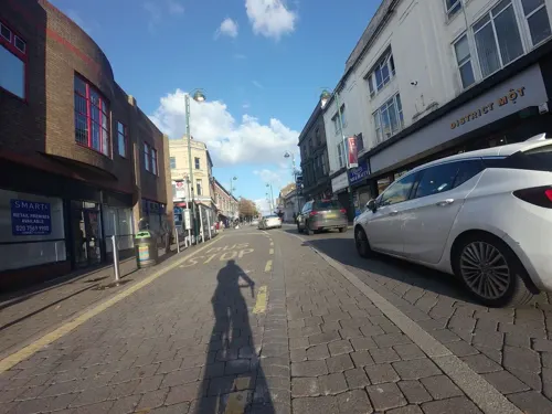
Mum Likes Thai Food
Restaurant · Thai · 1.1 mi
682 High Road Leytonstone, London
Mo 12:00-22:00; Tu-Th 12:00-22:30; Fr-Sa 12:00-23:00; Su 12:00-22:30
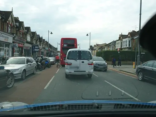
Papa John's
Restaurant · Pizza · 1.3 mi
724 Lea Bridge Road, London
Mo-Th 11:00-00:30; Fr-Sa 11:00-01:45; Su 11:00-00:30
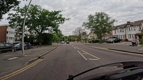
The Bungalow Cafe
Cafe · Lebanese · 0.5 mi
49 Spratt Hall Road, London
Mo 07:00-15:00; Tu-Sa 07:00-21:30; Su 10:00-18:00
Uffizi Pizzeria and Pasta Bar
Restaurant · Italian · 1.1 mi
753-755 Lea Bridge Road, London
Tu-Fr 17:00-23:00; Sa-Su 12:00-23:00

Deli Bites and Desserts
Restaurant · Indian · 1.4 mi
5b Claybury Broadway, Ilford
Mo closed; Tu-Fr 12:00-20:00; Sa 12:00-19:00; Su closed
Jilani Thai & Grill
Restaurant · Thai · 1.4 mi
12 Claybury Broadway, Ilford
Mo-Th 12:00-23:00; Fr-Su 15:00-23:00
Robins Pie & Mash
Restaurant · Pie And Mash · 0.5 mi
14 High Street, London
Mo-Sa 10:00-17:00; Su 10:30-16:30

Dudley's
Cafe · Coffee Shop, Sandwich · 1.0 mi
145 Wood Street, London
Tu-Fr 08:00-17:30; Sa 09:00-16:30; Su 10:00-16:00
FORNO
Cafe · Coffee Shop, Pastry · 1.2 mi
47 Church Lane, London
Mo-Fr 07:30-16:00; Sa 08:00-17:00; Su 08:00-16:00
299 more on the map.
Notable people from Snaresbrook
 Mike GapesBritish politician (born 1952)Photo: Chris McAndrew, CC BY 3.0
- Edward Shirley KennedyBritish mountain climber
- Percy RichardsonEnglish cricketer (1891-1964)
- Arnold Readcricketer (1880-1957)
- Alice Ravenhillauthor and educator (1859–1954)
- Dale WomersleyEnglish cricketer (1860-1942)
Born in Snaresbrook, according to Wikidata (CC0). Each name links to its Wikipedia article.
Where to stay7
Best Western Plus Epping Forest
Motel and hotel · 1.4 mi
30 Oak Hill, Woodford Green
Churches and places of worship101
Wanstead United Reformed Church
Church · Reformed · 0.5 mi
Nightingale Lane, London
Shopping52
Gas and EV charging13
South Woodford Community Electric Vehicle (EV) Charging Hub.
EV charging · 0.7 mi
Schools, colleges and libraries44
Healthcare31
Whipps Cross University Hospital
Hospital · 0.9 mi
Whipps Cross Road, London
Map of Snaresbrook
250 places. The map loads OpenStreetMap tiles when you open it.
Getting there and nearby towns
London City Airport (LCY) is the nearest airport with scheduled flights listed in OpenStreetMap, 6 miles away.
- Wanstead 1 mi southeast, about 1 min by car
- Walthamstow 2 mi west, about 3 min by car
- Woodford Green 2 mi north, about 3 min by car
- Ilford 3 mi southeast, about 5 min by car
- Tottenham 4 mi west, about 6 min by car
- West Ham 4 mi south, about 6 min by car
- Barking 4 mi southeast, about 7 min by car
- Stepney 5 mi southwest, about 9 min by car
- Islington 6 mi southwest, about 10 min by car
- Southgate 6 mi northwest, about 9 min by car
Drive times are estimates from straight-line distance, not routes.
Towns near Snaresbrook


Keep exploring
Local news
Headlines from INDB.
Reviews, tips and questions
Loading what members have shared...
Sources and licences
- GeoNames (CC BY 4.0): population, coordinates, regions and time zone
- Mapillary (see each image): photos
- OpenStreetMap contributors (ODbL 1.0): places, airports, map data
- Wikidata (CC0 1.0): elevation, founding date, time zone, website, landmarks and historic places
- Wikimedia Commons (see each image): photos
- Wikipedia (CC BY-SA 4.0): overview and history text
Photo credits
- Drinking Fountain, Snaresbrook, The wub, CC BY-SA 4.0
- Snaresbrook Garden of Remembrance - Dec 2017, The wub, CC BY-SA 4.0
- White Lodge, Snaresbrook, The wub, CC BY-SA 4.0
- Eagle Pond, Snaresbrook, east side, BeŻet, CC BY-SA 4.0
- Eagle Pond, Snaresbrook, wide view, BeŻet, CC BY-SA 4.0
- Eagle Pond and Crown Court, Snaresbrook, The wub, CC BY-SA 4.0
- Toby Carvey, Snaresbrook, E11, Ewan-M, CC BY-SA 2.0
- Snaresbrook Crown Court - Dec 2017, The wub, CC BY-SA 4.0
- Eagle Pond panorama, Snaresbrook - Dec 2017, The wub, CC BY-SA 4.0
- The Eagle, Snaresbrook - Dec 2017, The wub, CC BY-SA 4.0
- Eagle Pond, Snaresbrook at night (black and white), The wub, CC BY-SA 4.0
- Swans on Eagle Pond, Snaresbrook, The wub, CC BY-SA 4.0
- Postbox, Althorne Gardens, Snaresbrook, The wub, CC BY-SA 4.0
- Drinking Fountain plaque, Snaresbrook, The wub, CC BY-SA 4.0
- Lea Bridge Station re-opening after 31 years (26432053793), Sludge G, CC BY-SA 2.0
- The Yard Theatre, AlexandraHC, CC BY-SA 4.0
- God's Own Junkyard 10100775327306884, JRennocks, CC BY 4.0
- Pankhurst Memorial, 29 May 2011 (4), RolandR, CC BY-SA 3.0
- Chingford War Memorial 07, Edwardx, CC BY-SA 3.0
- Memorial to Dr Barnardo, Matt Brown, CC BY 2.0
- Passmore Edwards Museum September 2017, Akasapriya, CC BY-SA 4.0
- Ainslie Wood 1, Dudley Miles, CC BY-SA 3.0
- Dagenham Brook, Nigel Cox, CC BY-SA 2.0
- Linder's Field 1, Dudley Miles, CC BY-SA 3.0
- Valentines Park, London Borough of Redbridge, IG1 (4163243333), Ewan Munro from London, UK, CC BY-SA 2.0
- St Andrews Church, Leytonstone - exterior rear side view, Archivillian, CC BY-SA 4.0
- Christ Church, Wanstead, The wub, CC BY-SA 4.0
- Wanstead United Reformed Church - August 2018, The wub, CC BY-SA 4.0
- St. Barnabas Church, Manor Park. Exterior, James Ramsay, CC BY 4.0
- Barclay School Leyton, Alansplodge, CC BY-SA 4.0
- Beal High School, The wub, CC BY-SA 3.0
- Whipps Cross Hospital old building, Secretlondon, CC BY-SA 4.0
- St Mary the Virgin church, Wanstead - 2023-02-27, The wub, CC BY-SA 4.0
- The Temple, Wanstead Park (1), The wub, CC BY-SA 4.0
- St Peter-in-the-Forest - 02, The wub, CC BY-SA 4.0
- Odeon South Woodford, The wub, CC BY-SA 4.0
- Entrance to Wanstead Park, The wub, CC BY-SA 4.0
- Dover Rd, Aldersbrook, Andertpj, CC BY-SA 4.0
- Geese on Eagle Pond - Dec 2017, The wub, CC BY-SA 4.0
- Eagle pond, with eagles (almost) - panoramio, Anthony Webb, CC BY-SA 3.0
- The Cage - Vestry House Museum Vestry Rd Walthamstow London E17 9NH, Spudgun67, CC BY-SA 4.0
- The Mabley Green Megalith with Lesney Factory. London E9,March 2009, sludgegulper, CC BY-SA 2.0
- Street-level photo, wasd42, CC BY-SA 4.0
- Street-level photo, rskedgell, CC BY-SA 4.0
- Street-level photo, gness, CC BY-SA 4.0
- Street-level photo, rskedgell, CC BY-SA 4.0
- Street-level photo, zymurgic, CC BY-SA 4.0
- Street-level photo, zymurgic, CC BY-SA 4.0
- Street-level photo, rskedgell, CC BY-SA 4.0
- Street-level photo, rskedgell, CC BY-SA 4.0
- Street-level photo, gness, CC BY-SA 4.0
- Street-level photo, rskedgell, CC BY-SA 4.0
- Street-level photo, zymurgic, CC BY-SA 4.0
- Street-level photo, rskedgell, CC BY-SA 4.0
- Street-level photo, rskedgell, CC BY-SA 4.0
- Street-level photo, rskedgell, CC BY-SA 4.0
- Street-level photo, nalex, CC BY-SA 4.0
- Street-level photo, rskedgell, CC BY-SA 4.0
- Street-level photo, rskedgell, CC BY-SA 4.0


Page built November 10, 2026. Spotted a mistake? Tell us or suggest a place.