


West Ham, United Kingdom
West Ham is a town of 15,551 people in England, United Kingdom.
Why visit West Ham
Townapedia lists 100 museums and landmarks, 88 parks and trails, 151 places to eat, 34 places to stay and 15 attractions in and around town.
Highlights include Stratford East, Vue Westfield Stratford City, House Mill and The Westbridge Hotel.
Weather in West Ham
Forecast from MET Norway (CC BY 4.0). Full forecast
About West Ham
West Ham is a district in East London, England and is in the London Borough of Newham. It is an inner-city suburb located 6.1 mi (9.8 km) east of Charing Cross.
From the Wikipedia article West Ham (this version), under CC BY-SA 4.0.
Photos of West Ham


Things to do15


Hackney Empire
Cinema and theater · 3.2 mi
Theatre on Mare Street in the London Borough of Hackney, London, England, UK

Half Moon Theatre
Cinema and theater · 2.8 mi
Theatre company in London


Queens' Building
Cinema and theater · 2.6 mi
Building in Mile End Road, London, England, formerly the People's Palace, including a theatre and music hall

The Broadway
Cinema and theater · 2.6 mi
Theatre in Barking, London, England, part of Barking Town Hall


Biota!
Zoo and aquarium · 2.2 mi
Proposed aquarium in Docklands, London

3 more on the map.
Museums and landmarks100

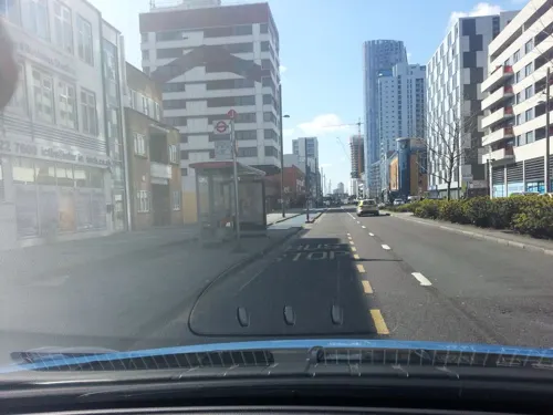
The Westbridge Hotel
Monument and historic site · 0.9 mi
Former pub, that has been redeveloped (listed building)
335-337 High Street
24/7

ArcelorMittal Orbit
Monument and historic site · 1.3 mi
Sculpture and observation tower in the Olympic Park in Stratford, London

The Miller's House
Monument and historic site · 1.1 mi
Offices opposite Clock Mill
Three Mill Lane, London

Abbey Mills Pumping Station (Station C)
Monument and historic site · 0.8 mi
C Station, with associated valve house, Abbey Mills Pumping Station


Gurney Memorial
Monument and historic site · 0.8 mi
Gurney Memorial Drinking Fountain


116-130, Abbey Lane E15
Monument and historic site · 0.8 mi
Listed status is for 116-130 Abbey Lane

88 more on the map.
Parks, trails and playgrounds88


Ackroyd Drive Greenlink
Park · 2.2 mi
Local nature reserve in the London Borough of Tower Hamlets, England, UK


Island Gardens
Park · 3.4 mi
Public park in the London Borough of Tower Hamlets



West Ham Park
Park · 0.4 mi
Jan,Nov,Dec: 07:30-16:30; Feb: 07:30-17:30; Mar,Oct: 07:30-18:30;...
76 more on the map.
Restaurants and cafes151


The Boleyn
Bar and pub · 0.9 mi
1 Barking Road, London
Mo-We 16:00-23:00; Th 12:00-23:00; Fr-Sa 12:00-01:00; Su 12:00-22:00
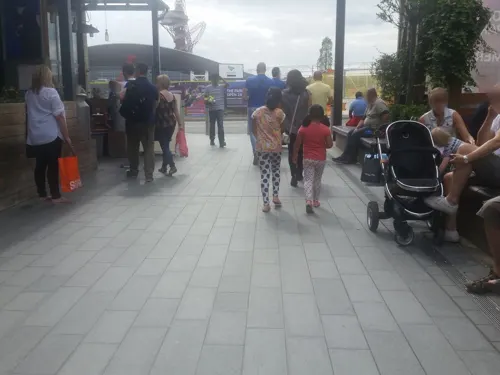
Cabana
Restaurant · Brazilian · 1.2 mi
5 Montfichet Road, London
Mo 12:00-21:00; Tu-Th 12:00-22:00; Fr 12:00-22:30; Sa 11:30-22:30;...
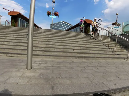
Caffè Nero
Cafe · Coffee Shop · 1.0 mi
Station Street, London
Mo-Fr 06:00-21:00; Sa 06:30-19:00; Su 06:30-18:00
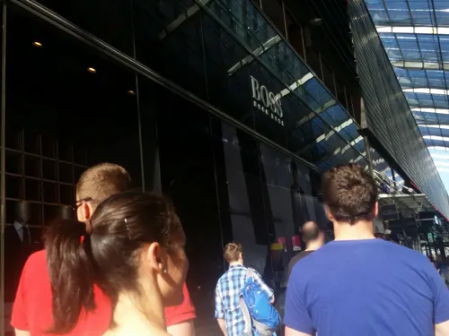
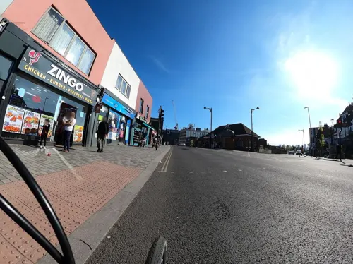
Forest Tavern
Bar and pub · Burger, International, Ice Cream, Tea, Mediterranean, Coffee Shop, Greek, Fish And Chips, Chicken, Curry, Barbecue · 1.2 mi
173-175 Forest Lane, London
Mo-Th 16:00-23:00; Fr 16:00-01:00; Sa 12:00-01:00; Su 12:00-23:00
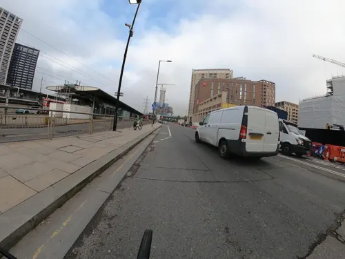
Husk Brewery & Taproom
Bar and pub · Burger · 1.4 mi
5 Silvertown Way, London
Fr 17:00-23:00; Sa 13:00-20:00; Su 14:00-23:00
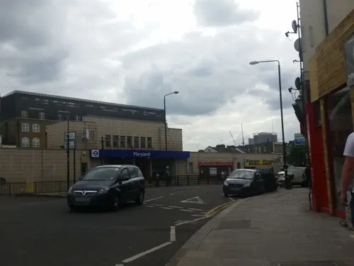
Kotch!
Restaurant · Pizza · 1.0 mi
55 Leytonstone Road, London
Mo-Th 17:00-10:30; Fr 17:00-23:00; Sa 11:00-16:00, 17:00-23:00; Su...

Calabash
Restaurant · Caribbean · 0.6 mi
22 Vicarage Lane, London
Mo-Th, Sa 09:00-20:00; Fr 09:00-22:00; Su 12:00-20:00
Darkhorse
Restaurant · European · 1.5 mi
16-19 Victory Parade, London
Tu-Th 11:00-23:00; Fr-Sa 10:00-24:00; Su 10:00-18:00
139 more on the map.
History
The first known written use of the term, as 'Hamme', is in an Anglo-Saxon charter of 958, in which King Edgar granted the Manor of Ham, which was undivided at that time, to Ealdorman Athelstan. A subsequent charter of 1037 describes a transfer of land which has been identified with East Ham, indicating that the division of the territory occurred between 958 and 1037.
The place name derives from Old English 'hamm' and means 'a dry area of land between rivers or marshland', referring to the location of the settlement within boundaries formed by the rivers Lea, Thames and Roding and their marshes. North Woolwich seems likely to have been removed from Ham in the aftermath of the Norman Conquest.
The earliest recorded use of West Ham, as distinct from Ham or East Ham, was in 1186 as 'Westhamma'. The creation of Stratford Langthorne Abbey (one of England's larger monasteries), and the building of Bow Bridge, the only dry crossing of the Lea for many miles, are likely to have increased the prosperity of the area.
In June 1648, during the Wars of the Three Kingdoms, a Royalist force of some 500 to 600 men won a minor battle against the Tower Hamlets Militia at Bow Bridge and occupied Stratford for three days, before heading off along the old Roman Road to the Siege of Colchester.
Read more of the history
The village of West Ham underwent rapid growth from 1844 following the Metropolitan Building Act. The Act restricted dangerous and noxious industries from operating in the metropolitan area, the eastern boundary of which was the River Lea. Consequently, many of these activities were relocated to the other side of the river and to West Ham, then a parish in Essex centred on All Saints Church, West Ham. As a result, West Ham became one of Victorian Britain's major manufacturing centres for pharmaceuticals, chemicals and processed foods. This rapid growth earned it the name "London over the border". The growth of the town was summarised by The Times in 1886:
"Factory after factory was erected on the marshy wastes of Stratford and Plaistow, and it only required the construction at Canning Town of the Victoria and Albert Docks to make the once desolate parish of West Ham a manufacturing and commercial centre of the first importance and to bring upon it a teeming and an industrious population."
Many workers lived in slum conditions close to where they worked, leading to periodic outbreaks of contagious diseases and severe poverty.
In the First World War, the Mayor and Borough of West Ham raised a pals battalion of local volunteers, the 13th (Service) Battalion (West Ham) of the Essex Regiment. The battalion first paraded in February 1915 at St Luke's Church in Canning Town. East Ham also raised a battalion, but it joined a different regiment.
The West Ham Pals were assigned to the 6th Infantry Brigade of the
2nd Infantry Division and served on the Western Front. The battalion were locally nicknamed The Butterflies due to the name of their popular leader, Lieutenant Colonel Pelham Rawston Papillon (Papillon was of Huguenot ancestry, with Papillon meaning 'butterfly' in French).
The battalion's disbandment in February 1918 occurred as the British Army was so short of manpower that it could no longer maintain as many units, the surviving members of the West Ham battalion were re-assigned to other battalions of the Essex Regiment in order to bring them up to strength for the anticipated German offensive.
The presence of the Royal Docks, the Stratford railway lands and other high value targets made West Ham one of the areas of London and Essex worst affected by bombing during the Second World War. There were officially 1186 civilians killed, but this may have been around 500 higher due to the disputed death toll at South Hallsville School.
In March 1976, the IRA planted a bomb on a Metropolitan Line train, but it exploded prematurely, at West Ham station, injuring seven. The perpetrator shot and injured a member of the public and fled. The train driver, Julius Stevens, gave chase but was shot and killed. The perpetrator ran into the street where he was confronted by a policeman; he turned the gun on himself but survived.
In the 1970s and 1980s, the area suffered from deindustrialisation, including closure of the Bromley gasworks and West Ham Power Station.
From the History section of West Ham on Wikipedia, under CC BY-SA 4.0.
More about West Ham
Geography
The parish, and coterminous subsequent borough, lay east of the Lea and north of the Thames, with Leyton to the north and East Ham to the east. The boundary between West and East Ham was drawn from the now lost Hamfrith Waste and Hamfrith Wood in the north (then the southernmost parts of Epping Forest which extended as far south as the Romford Road at that time), along Green Street down to the small, similarly lost, natural harbour known as Ham Creek, the mouth of a small watercourse.
The area of the parish and borough included not just central West Ham area, just south of Stratford, with the twin focuses of All Saints' Parish Church and West Ham station; but also the sub-districts of Stratford, Canning Town, Plaistow, Custom House, Silvertown, Forest Gate and the western parts of Upton Park which is shared with East Ham.
The areas along the Lea and Thames were historically industrial with the remainder residential, mostly Victorian terraced housing interspersed with higher density post-war social housing. Since its urbanisation the area has always been one of the poorest in London.
From the Wikipedia article West Ham, under CC BY-SA 4.0.
Notable people from West Ham
 Lennox LewisBritish-Canadian boxer VcPhoto: -nikkon-, CC BY-SA 2.0
 Rob LeeEnglish association football player (born 1966)Photo: Timmy96, CC0
 Kathleen ByronBritish actress (1921–2009)Photo: Trailer screenshot Licencing..., Public domain
 Jules De MartinoBritish musicianPhoto: Madchester ( talk ), CC BY-SA 3.0
 Kevin BondEnglish association football player and manager (born 1957)Photo: Dltl2010, CC BY-SA 4.0
- John BadcockBritish rower (1903–1976)
- Ethel SeymourBritish artistic gymnast (1880-1963)
- Isabel JuddBritish artistic gymnast (1909-1995)
- Roberta TaylorEnglish actress (1948–2024)
- Greg AllenEnglish association football player
- Fred EwerEnglish footballer (1898–1971)
- Robert WymanBritish ice hockey player (1909-1978)
Born in West Ham, according to Wikidata (CC0). Each name links to its Wikipedia article.
Where to stay34
Churches and places of worship80
Saint Antony's Church
Church · Roman Catholic · 0.6 mi
56 St Antony's Road, London
Shopping78
Gas and EV charging12
Schools, colleges and libraries42
Healthcare37
Map of West Ham
250 places. The map loads OpenStreetMap tiles when you open it.
Getting there and nearby towns
London City Airport (LCY) is the nearest airport with scheduled flights listed in OpenStreetMap, 2 miles away.
- Barking 3 mi east, about 5 min by car
- Ilford 3 mi northeast, about 5 min by car
- Walthamstow 4 mi north, about 7 min by car
- Islington 5 mi west, about 8 min by car
- Woodford Green 5 mi north, about 8 min by car
- London 6 mi west, about 10 min by car
- Tottenham 6 mi northwest, about 10 min by car
- Dagenham 7 mi east, about 11 min by car
- Archway 7 mi west, about 11 min by car
- City of Westminster 7 mi west, about 11 min by car
Drive times are estimates from straight-line distance, not routes.
Towns near West Ham


Keep exploring
Local news
Headlines from INDB.
Reviews, tips and questions
Loading what members have shared...
Sources and licences
- GeoNames (CC BY 4.0): population, coordinates, regions and time zone
- Mapillary (see each image): photos
- OpenStreetMap contributors (ODbL 1.0): places, airports, map data
- Wikidata (CC0 1.0): elevation, founding date, time zone, website, landmarks and historic places
- Wikimedia Commons (see each image): photos
- Wikipedia (CC BY-SA 4.0): overview and history text
Photo credits
- ECR(1851) p18b - Bow Bridge, Unknown author, Public domain
- Hackney empire 1, Tarquin Binary, Public domain
- Half Moon, Stepney, E1 (3171916542), Ewan Munro from London, UK, CC BY-SA 2.0
- Lea Bridge Station re-opening after 31 years (26432053793), Sludge G, CC BY-SA 2.0
- Queens' Building (2899476115), Ewan Munro from London, UK, CC BY-SA 2.0
- The Yard Theatre, AlexandraHC, CC BY-SA 4.0
- ArcelorMittal Orbit at night, you_only_live_twice from Lighthorne Heath, England, CC BY-SA 2.0
- Ackroyd Drive Greenlink 1, Dudley Miles, CC BY-SA 3.0
- Eden Dock 2024-10-03, Matt Brown, CC BY 2.0
- Greatfields Park (18843012584), Matt Brown from London, England, CC BY 2.0
- King Edward Memorial Park 9deeb76c78 o, Gordon Joly, CC BY-SA 3.0
- Lavender Pond 1, Dudley Miles, CC BY-SA 3.0
- London Aquatics Centre, 16 April 2012, EG Focus, CC BY 2.0
- Bobspark, Unknown author, CC BY-SA 2.5
- House Mill at Three Mills, Gordon Joly, CC BY-SA 2.5
- St Bon's Black Badge, PaulHalliwell, CC BY-SA 3.0
- London 2012 Olympic Stratford Centre 219 (7683058764), DAVID HOLT from London, England, CC BY-SA 2.0
- King Edward VII, Stratford, E15 (7419175430), Ewan Munro from London, UK, CC BY-SA 2.0
- Boleyn Public House Upton Park, Ewan Munro, CC BY-SA 2.0
- StAndrews2, Will O'Connell, CC BY-SA 4.0
- Offices Opposite Clock Mill, Three Mills - 2023-08-20, The wub, CC BY-SA 4.0
- London Borough of Newham - Fairbairn Hall - 20230909130046, Lollipoplollipoplollipop, CC0
- St John's Stratford, Pedleysd ( talk )., Public domain
- HE1080991 Old Town Hall Stratford (1), Katie Chan, CC BY-SA 4.0
- Royal Oak, Canning Town, E16 (4738166352), Ewan Munro from London, UK, CC BY-SA 2.0
- Gurney Memorial Drinking Fountain, Stratford, David Anstiss, CC BY-SA 2.0
- C Station, Abbey Mills Pumping Station, Malcolm, CC BY-SA 4.0
- St George and St Ethelbert, Burford Road, East Ham, Felix O, CC BY-SA 2.0
- Abbey Gardens, Bakers Row, Gordon Joly, CC BY-SA 4.0
- Westfield Cinema, Stratford, London (7180812938), Berit from Redhill/Surrey, UK, CC BY 2.0
- Goldengrove pub, Stratford, The wub, CC BY-SA 4.0
- St Francis of Assisi Church, Stratford by P L Kessler, P L Kessler / The History Files (www.historyfiles.co.uk), reproduced with permission, CC BY-SA 4.0
- Front of Theatre Royal Stratford East by Richard Davenport, Sbrooks91, CC BY-SA 4.0
- London, England (15513446165), Rick Ligthelm from Rotterdam, The Netherlands, CC BY 2.0
- The Bromley-by-Bow Centre, Reading Tom from Reading, UK, CC BY 2.0
- House Mill Three Mills Bromley-By-Bow, Mervyn Rands, CC BY-SA 4.0
- Bow Creek Ecology Park, Matthew Black, CC BY-SA 2.0
- The Boleyn, East Ham, Matt Brown, CC BY 2.0
- Plaistow, London, Nov 2013 (10715871816), David from London, UK, CC BY-SA 2.0
- Plaistow tube station bench 2025-07-12, Hugh Llewelyn, CC BY-SA 4.0
- Broadway, Barking, IG11 (4497643932), Ewan Munro from London, UK, CC BY-SA 2.0
- Island Gardens 2025-03-27, Matt Brown, CC BY 2.0
- Street-level photo, matth81, CC BY-SA 4.0
- Street-level photo, dankarran, CC BY-SA 4.0
- Street-level photo, smsm1, CC BY-SA 4.0
- Street-level photo, matth81, CC BY-SA 4.0
- Street-level photo, rskedgell, CC BY-SA 4.0
- Street-level photo, zymurgic, CC BY-SA 4.0
- Street-level photo, dankarran, CC BY-SA 4.0
- Street-level photo, rskedgell, CC BY-SA 4.0
- Street-level photo, rskedgell, CC BY-SA 4.0
- Street-level photo, smsm1, CC BY-SA 4.0
- Street-level photo, rskedgell, CC BY-SA 4.0
- Street-level photo, rskedgell, CC BY-SA 4.0
- Street-level photo, dankarran, CC BY-SA 4.0
- Street-level photo, smsm1, CC BY-SA 4.0
- Street-level photo, matth81, CC BY-SA 4.0
- Street-level photo, matth81, CC BY-SA 4.0
- Street-level photo, rskedgell, CC BY-SA 4.0
- Street-level photo, dankarran, CC BY-SA 4.0
- Street-level photo, matth81, CC BY-SA 4.0
- Street-level photo, rskedgell, CC BY-SA 4.0
- Street-level photo, dankarran, CC BY-SA 4.0
- Street-level photo, dankarran, CC BY-SA 4.0
- Street-level photo, matth81, CC BY-SA 4.0
- Street-level photo, rskedgell, CC BY-SA 4.0
- Street-level photo, matth81, CC BY-SA 4.0
- Street-level photo, rskedgell, CC BY-SA 4.0
- Street-level photo, rskedgell, CC BY-SA 4.0
- Street-level photo, smsm1, CC BY-SA 4.0
- Street-level photo, dankarran, CC BY-SA 4.0
- Street-level photo, dankarran, CC BY-SA 4.0


Page built November 10, 2026. Spotted a mistake? Tell us or suggest a place.