


Swanscombe, United Kingdom
Swanscombe is a town of 15,801 people in England, United Kingdom.
Why visit Swanscombe
Townapedia lists 14 museums and landmarks, 27 parks and trails, 37 places to eat, 2 places to stay and 6 attractions in and around town.
Highlights include Queen Elizabeth II Bridge, State Cinema, The Factory Club and Bevans War Memorial.
Weather in Swanscombe
Forecast from MET Norway (CC BY 4.0). Full forecast
About Swanscombe
Swanscombe () is a town in the Borough of Dartford in Kent, England, and the civil parish of Swanscombe and Greenhithe. It is 4.4 miles west of Gravesend and 4.8 miles east of Dartford. It had a population of 6300.
From the Wikipedia article Swanscombe (this version), under CC BY-SA 4.0.
Photos of Swanscombe

Things to do6

Queen Elizabeth II Bridge
Bridge · 2.5 mi
Bridge across the River Thames in south east England

State Cinema
Cinema and theater · 2.2 mi
Former cinema and theatre in Grays, England
Theatre Royal, Gravesend
Cinema and theater · 2.4 mi
Theatre in the UK

Woodville Halls Theatre
Cinema and theater · 2.6 mi
Theatre in Gravesend, England


Museums and landmarks14



Sawyers Lake
Monument and historic site · 1.1 mi
Flooded former chalk quarry in Northfleet
2 more on the map.
Parks, trails and playgrounds27




Northfleet Urban Country Park
Park · 1.4 mi
59 Vale Road, Gravesend
24/7
Chafford Gorges Nature Park
Park · 2.9 mi
Essex Wildlife Trust Nature reserve

15 more on the map.
Restaurants and cafes37
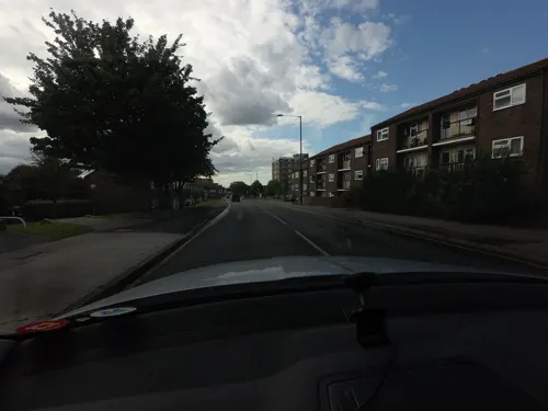
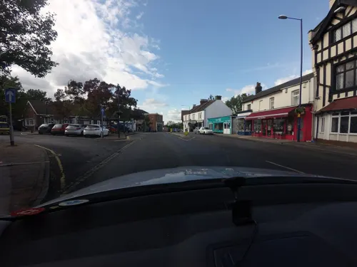
Cafe of Northfleet
Cafe · 1.2 mi
37-38 The Hill, Gravesend
Mo-Sa 07:00-16:00; Tu off; Su 09:00-16:00
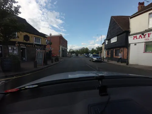
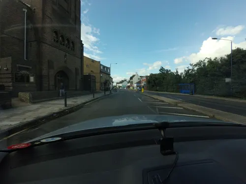
Golden Grill
Cafe · Greasy Spoon · 0.6 mi
69 Stonebridge Road, Gravesend
White Eagle
Restaurant · Polish · 1.1 mi
29a The Hill, Northfleet


The Spring River
Bar and pub · British · 1.1 mi
Talbot Lane, Swanscombe

The Blue Bean Coffee Co.
Cafe · Coffee Shop · 0.8 mi
Mo-Th 08:00-17:00; Fr,Sa 08:00-22:00; Su 09:00-17:00
25 more on the map.
History
Bone fragments and tools, representing the earliest humans known to have lived in England, have been found from 1935 onwards at Barnfield Pit about 2 km (1 mile) outside the village. This site is now the Swanscombe Heritage Park. Swanscombe Man (now thought to be female) was a late Homo erectus or an early archaic Homo sapiens. According to the Natural History Museum, however, the remains are those of a 400,000-year-old early Neanderthal woman.
The c. 400,000-year-old skull fragments are kept at the Natural History Museum in London with a replica on display at the Dartford Museum. Lower levels of the Barnfield Pit yielded evidence of an even earlier, more primitive, human, dubbed Clactonian Man.
Nearby digs on land for the Channel Tunnel Rail Link revealed a c. 400,000-year-old site with human tools and the remains of a straight-tusked elephant (Palaeoloxodon antiquus), and evidence of water vole, pine vole, newts, frogs etc., indicating a site with standing water similar to a swamp. The elephant is thought to have been butchered by humans at the site.
During archaeological work undertaken at Ebbsfleet, before construction of High Speed 1, an Anglo-Saxon mill and a Roman villa were found near Swanscombe.
Read more of the history
From Crayford to the Isle of Thanet the Danes occupied the land and terrorised the Saxon inhabitants, giving rise to the appearance of Deneholes, of which many have survived to this day. These were wells, cut deep into the chalk landscape, thought to be for concealing people and goods. They have a simple vertical shaft with short horizontal tunnels from the base.
The Vikings settled throughout the winter along the Thames estuary with their ships and established camps in Kent and Essex. In surveying the distribution of the many deneholes along the Thames corridor it would appear that Essex, on the northern shore of the Thames, sustained a greater influx of Vikings than did Kent, there being considerably more recorded deneholes in Essex, particularly around Orsett and Grays – see Hangman's Wood.
Archaeological digs and centuries of tilling have revealed a Danish castle and settlement, with pottery, anchors, weapons and some ships' timbers. The settlement was later variously called Suinescamp (in Domesday Book of 1086), Sweinscamp and Swanscamp. Legend derives the name from the Viking king Sweyn Forkbeard, who landed in East Anglia and became King of England in 1013. The father of Canute, Sweyn died at Gainsborough, on the Trent, in 1014. Canute (Cnut) died in Shaftesbury in 1035 and his sons were unable to hold on to his empire. But the name of Swanscombe cannot derive from Sweyn Forkbeard since the place-name is first attested in 695 AD.
Other research suggests that deneholes may have been dug as a method of extracting chalk for use on the fields above, or the mining may have been a by-product of defence. In any case the practice reached a peak around the 13th – 14th centuries, long after the Viking raids had ceased.
It is claimed, apparently without evidence, that in 1066 Swanscombe locals massed an army in defiance of William I and so won the right to continue their ancient privileges, including the tradition of passing inheritance by gavelkind. The Men of Kent, together with Kentish Men, met William near Swanscombe, where the Saxons concealed their number with branches, thus intimidating the Norman army. Again according to legend, they were offered a truce that left Kent as the only region in England that William left unconquered. Hence in this area of England alone Kent County Council adopted the motto Invicta, meaning unconquered.
Richard Norman Shaw designed All Saints' Church in 1894. It was built of knapped flint for the workers of the cement industry. It survives as a rare example of his design, covering several Gothic Revival styles throughout its architecture and features such as Decorated tracery on the windows and Arts and Crafts Perpendicular woodwork in the interior.
The flint parish church of St Peter and St Paul is mostly of the 13th century. However various sections contain Early Norman material. The tower and chancel contain 11th- and 12th-century work respectively, although the tower was reconstructed in the 13th century and the chancel arch is from the 14th century. The lower section of the tower contains some Saxon material. The tower is topped with a broached shingled spire, and in 1902 the church was struck by lightning, causing extensive damage. A large-scale restoration was undertaken by Jabez Bignall in 1872–73 and again by him after the damage from the lightning strike. The parish register dates from 1559. George Cecil Renouard is buried in the Swanscombe churchyard.
Just after 8 o'clock in the evening of Sunday 10 November 1940 a German bomb crashed down direct into The Morning Star Inn, causing in a single explosion Swanscombe's worst wartime disaster. All that was left after the explosion was, where the pub had stood, a "heap of bricks and twisted rafters"¹ surrounding the smouldering pit that had been the cellar, although the staircase leading to the clubroom upstairs extended up out of the wreckage. Distressed families of those known to be in the pub at the time gathered at the street corners awaiting news of the casualties as bodies were gradually recovered from the ruins.
The official casualty lists revealed the death toll to be 27, with six others seriously injured and five people slightly hurt.
"The landlord was amongst the dead, although his wife and son survived. The barmaid who was killed had given notice the week before the raid but had stayed on that evening because of the match. One of the other victims was a merchant seaman on seven days' leave who had spent two days travelling from Scotland to see his wife and children and was having a drink with his father in the pub at the time of the bombing: both were killed."
From the History section of Swanscombe on Wikipedia, under CC BY-SA 4.0.
Notable people from Swanscombe
- Edwin Lester ArnoldBritish writer (1857-1935)
Born in Swanscombe, according to Wikidata (CC0). Each name links to its Wikipedia article.
Where to stay2
Churches and places of worship10
Our Lady of the Assumption Roman Catholic Church
Church · Roman Catholic · 1.2 mi
Shopping5
Gas and EV charging2
Schools, colleges and libraries13
Healthcare7
Map of Swanscombe
123 places. The map loads OpenStreetMap tiles when you open it.
Getting there and nearby towns
Rochester Airport (RCS) is the nearest airport with scheduled flights listed in OpenStreetMap, 11 miles away.
- Tilbury 2 mi northeast, about 4 min by car
- Bexley 7 mi west, about 11 min by car
- Upminster 8 mi north, about 13 min by car
- Dagenham 9 mi northwest, about 15 min by car
- Basildon 11 mi northeast, about 17 min by car
- Barking 11 mi northwest, about 18 min by car
- Gillingham 11 mi east, about 18 min by car
- Ilford 13 mi northwest, about 21 min by car
- Maidstone 15 mi southeast, about 25 min by car
- London 19 mi west, about 31 min by car
Drive times are estimates from straight-line distance, not routes.
Towns near Swanscombe


Keep exploring
Local news
Headlines from INDB.
Reviews, tips and questions
Loading what members have shared...
Sources and licences
- GeoNames (CC BY 4.0): population, coordinates, regions and time zone
- Mapillary (see each image): photos
- OpenStreetMap contributors (ODbL 1.0): places, airports, map data
- Wikidata (CC0 1.0): elevation, founding date, time zone, website, landmarks and historic places
- Wikimedia Commons (see each image): photos
- Wikipedia (CC BY-SA 4.0): overview and history text
Photo credits
- Swanscombe railway station building in 2009, David Anstiss, CC BY-SA 2.0
- Charlestons downstairs bar2, Peter Hammond, Public domain
- Longfield Chalk Bank 4, Dudley Miles, CC BY-SA 4.0
- St Clements Thurrock, PJDelaney, Public domain
- St Georges Church, Agw19666, CC BY-SA 3.0
- StonebridgeRdEnd, Friejose at English Wikipedia, CC BY-SA 3.0
- St Peter & St Paul, Swanscombe, Kent, Glen, CC BY 2.0
- NorthfleetChurches8823, Clem Rutter, Rochester, Kent., CC BY 2.5
- Claire Tiltman Memorial - London Road, Greenhithe, Sunolafjagtenben-hur, CC0
- NorthfleetBevansWM8800, Clem Rutter, Rochester, Kent., CC BY 2.5
- Elephants at Castle Hill Park, Ebbsfleet (2), Sunolafjagtenben-hur, CC0
- Kent 200, OathOn, CC BY-SA 4.0
- Queen Elizabeth II bridge Penny Mayes, Penny Mayes, CC BY-SA 2.0
- Street-level photo, tallguy, CC BY-SA 4.0
- Street-level photo, tallguy, CC BY-SA 4.0
- Street-level photo, tallguy, CC BY-SA 4.0
- Street-level photo, tallguy, CC BY-SA 4.0
- Street-level photo, tallguy, CC BY-SA 4.0
- Street-level photo, wasd42, CC BY-SA 4.0
- Street-level photo, wasd42, CC BY-SA 4.0
- Street-level photo, tallguy, CC BY-SA 4.0
- Street-level photo, tallguy, CC BY-SA 4.0
- Street-level photo, tallguy, CC BY-SA 4.0
- Street-level photo, tallguy, CC BY-SA 4.0
- Street-level photo, tallguy, CC BY-SA 4.0
- Street-level photo, tallguy, CC BY-SA 4.0
- Street-level photo, tallguy, CC BY-SA 4.0


Page built November 10, 2026. Spotted a mistake? Tell us or suggest a place.