


Speldhurst, United Kingdom
Speldhurst is a town of 1,436 people in England, United Kingdom.
Why visit Speldhurst
Townapedia lists 7 museums and landmarks, 7 parks and trails, 13 places to eat, 1 place to stay and 3 attractions in and around town.
Highlights include Assembly Hall Theatre, Opera House, Royal Tunbridge Wells, Penshurst Place and Salomons Museum.
Weather in Speldhurst
Forecast from MET Norway (CC BY 4.0). Full forecast
About Speldhurst
Speldhurst is a village and civil parish in the borough of Tunbridge Wells in Kent, England. The parish is to the west of Tunbridge Wells: the village is 3 miles (5 km) west of the town.
From the Wikipedia article Speldhurst (this version), under CC BY-SA 4.0.
Things to do3
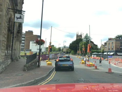
Assembly Hall Theatre
Cinema and theater · 2.3 mi
Theatre in Tunbridge Wells, Kent, England, UK
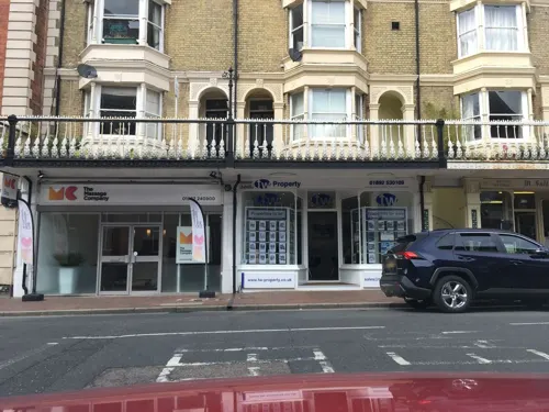
Opera House, Royal Tunbridge Wells
Cinema and theater · 2.3 mi
Former opera house in Royal Tunbridge Wells, now a pub, with the theatre still ocasionally used

Royal Victoria Hall
Cinema and theater · 1.8 mi
Former theatre in Southborough, England
Museums and landmarks7

Penshurst Place
Museum · 2.3 mi
Historic building near Tonbridge, Kent in England


Parks, trails and playgrounds7

Lullingstone Country Park
Park · 3.1 mi
Country park in Kent, England

Restaurants and cafes13
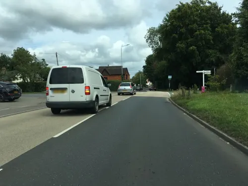
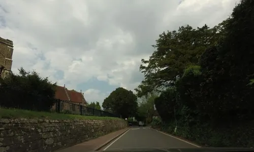

The Oak
Bar and pub · 1.1 mi
33 Rusthall High Street, Rusthall
PH,We-Mo 16:00-22:00

Daily Bread
Restaurant · Breakfasts, Light Bites, Cakes · 1.2 mi
27-29 Rusthall High Street, Rusthall

1 more on the map.
History
The name Speldhurst derives from the Old English for 'wooded hill ('hyrst') where wood-chips ('speld') are found'.
From the History section of Speldhurst on Wikipedia, under CC BY-SA 4.0.
Notable people from Speldhurst
 Robert Smythe HichensEnglish journalist, novelist and short story writer (1864–1950)Photo: Anonymous Unknown author, Public domain
Born in Speldhurst, according to Wikidata (CC0). Each name links to its Wikipedia article.
Where to stay1
Churches and places of worship13
Church of King Charles the Martyr, Royal Tunbridge Wells
Church · 2.4 mi
Gas and EV charging2
Langton Green Service Station
Gas station · 1.4 mi
Langton Road, Royal Tunbridge Wells
Schools, colleges and libraries10
Bidborough Church of England Voluntary Controlled Primary School
School · Anglican · 1.3 mi
Spring Lane, Bidborough
Southborough Church of England Primary School
School · Anglican · 1.5 mi
Broomhill Park Road, Tunbridge Wells
Speldhurst Church of England Voluntary Aided Primary School
School · Anglican
Langton Road, Tunbridge Wells
Healthcare1
Map of Speldhurst
57 places. The map loads OpenStreetMap tiles when you open it.
Getting there and nearby towns
London Biggin Hill Airport (BQH) is the nearest airport with scheduled flights listed in OpenStreetMap, 15 miles away.
- Royal Tunbridge Wells 2 mi southeast, about 4 min by car
- Tonbridge 4 mi northeast, about 6 min by car
- Crowborough 7 mi south, about 11 min by car
- Sevenoaks 9 mi north, about 14 min by car
- East Grinstead 10 mi west, about 16 min by car
- Sundridge 10 mi northwest, about 16 min by car
- Yalding 10 mi northeast, about 17 min by car
- Ticehurst 11 mi southeast, about 18 min by car
- Oxted 12 mi northwest, about 20 min by car
- Uckfield 14 mi southwest, about 22 min by car
Drive times are estimates from straight-line distance, not routes.
Towns near Speldhurst


Keep exploring
Local news
Headlines from INDB.
Reviews, tips and questions
Loading what members have shared...
Sources and licences
- GeoNames (CC BY 4.0): population, coordinates, regions and time zone
- Mapillary (see each image): photos
- OpenStreetMap contributors (ODbL 1.0): places, airports, map data
- Wikidata (CC0 1.0): elevation, founding date, time zone, website, landmarks and historic places
- Wikimedia Commons (see each image): photos
- Wikipedia (CC BY-SA 4.0): overview and history text
Photo credits
- King Charles the Martyr's Church, Mount Sion, Tunbridge Wells, The Voice of Hassocks, CC0
- 1243204 I Church of St John the Baptist Penshurst 20250826 0001, Tilman2007, CC BY-SA 4.0
- St Mark's Church, Broadwater Down, Tunbridge Wells, The Voice of Hassocks, CC0
- St Mary's church, Leigh, Kent (16209827518), Jules & Jenny from Lincoln, UK, CC BY 2.0
- 1223642 II Star TRINITY ARTS CENTRE (FORMERLY HOLY TRINITY CHURCH), CHURCH ROAD Tunbridge Wells 20250825 0004, Tilman2007, CC BY-SA 4.0
- Former Vale Royal Methodist Church, Vale Road, Tunbridge Wells (August 2021) (7), Hassocks5489, CC0
- Rose hill aerial 2009, Rose Hill School, Public domain
- St Mary's Church Speldhurst Kent by Ruth Sharville, Ruth Sharville, CC BY-SA 2.0
- Penshurst Place, 2012 (3), Elisa.rolle, CC BY-SA 3.0
- Street-level photo, southglos, CC BY-SA 4.0
- Street-level photo, southglos, CC BY-SA 4.0
- Street-level photo, southglos, CC BY-SA 4.0
- Street-level photo, southglos, CC BY-SA 4.0
- Street-level photo, tallguy, CC BY-SA 4.0
- Street-level photo, tallguy, CC BY-SA 4.0
- Street-level photo, tallguy, CC BY-SA 4.0


Page built November 10, 2026. Spotted a mistake? Tell us or suggest a place.