


Sundridge, United Kingdom
Sundridge is a town of 1,383 people in England, United Kingdom.
Why visit Sundridge
Townapedia lists 6 museums and landmarks, 8 parks and trails, 9 places to eat and 1 attraction in and around town.
Highlights include Chartwell, Quebec House, Montreal Park and Dryhill Nature Reserve.
Weather in Sundridge
Forecast from MET Norway (CC BY 4.0). Full forecast
About Sundridge
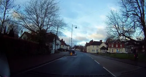
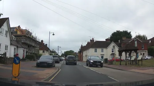
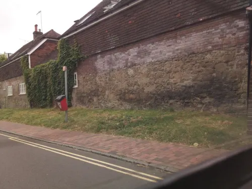
Sundridge is a village within the civil parish of Sundridge with Ide Hill, in the Sevenoaks district of Kent, England. The village is located on the A25 road to the east of Westerham. It lies within the Kent Downs Area of Outstanding Natural Beauty and within London’s Metropolitan Green Belt. It is approximately 21 miles south of London.
From the Wikipedia article Sundridge, Kent (this version), under CC BY-SA 4.0.
Things to do1

Museums and landmarks6
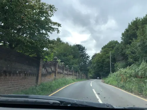
Chartwell
Museum · 2.9 mi
Country house south of Westerham, Kent, England, UK
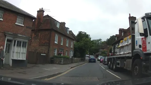
Quebec House
Museum · 2.1 mi
Grade I listed military museum in Westerham, Sevenoaks, Kent, England, UK

Radnor House Prep school
Monument and historic site
Used to be a stable for the rich people in the main building
Parks, trails and playgrounds8

Montreal Park
Park · 2.0 mi
Location of a demolished stately home, turned into a housing development

Sevenoaks Wildlife Reserve
Park · 2.8 mi
Protected area in Kent, England


Central astroturph
Playground
Used to be cobbled, but then the school put astroturph over it

Restaurants and cafes9

History
Sundridge appears in the Domesday Book of 1086 as Sondresse, held by the Archdiocese of Canterbury. King Henry III granted the manor to Sir Ralph de Fremingham in the 1340s: it remained in the Fremingham and Isley family until the 17th century. The manor was then sold to the Hyde family.
The Parish Church of St Mary dates from the 12th century and is Grade I listed. It was restored in the 19th century and further repaired after a fire in 1882.
Radnor House, previously known as Combe Bank, is a Grade I listed Palladian mansion dating from 1728; it was designed by Roger Morris and built for Colonel John Campbell, later Duke of Argyll. It was later the home of the banker Sir William Manning MP, whose son Cardinal Henry Manning grew up there. Radnor House remained a private home until the 1920s, and then became a convent, an independent school and a wedding venue.
From the History section of Sundridge, Kent on Wikipedia, under CC BY-SA 4.0.
Notable people from Sundridge
 Bertha CaveBritish campaigner for opening the legal profession to women, bacteriologistPhoto: The Tatler, Public domain
- Greg de VriesCanadian ice hockey player
- Keith McCrearyCanadian ice hockey player (1940–2003)
- Bert Goffeyassociation football player (1911-1991)
Born in Sundridge, according to Wikidata (CC0). Each name links to its Wikipedia article.
Churches and places of worship6
Chapel of the Good Shepherd, and Chipstead Parish Hall
Church · Anglican · 1.2 mi
Schools, colleges and libraries4
Sundridge and Brasted Church of England Voluntary Controlled Primary School
School · Anglican
Church Road, Sundridge
Chevening, St Botolph's Church of England Voluntary Aided Primary School
School · Anglican · 1.3 mi
Chevening Road, Sevenoaks
Map of Sundridge
34 places. The map loads OpenStreetMap tiles when you open it.
Getting there and nearby towns
London Biggin Hill Airport (BQH) is the nearest airport with scheduled flights listed in OpenStreetMap, 6 miles away.
- Sevenoaks 3 mi east, about 5 min by car
- Biggin Hill 5 mi northwest, about 7 min by car
- Chelsfield 6 mi north, about 9 min by car
- Oxted 6 mi west, about 9 min by car
- Orpington 7 mi north, about 11 min by car
- Woldingham 7 mi west, about 11 min by car
- Hayes 8 mi northwest, about 13 min by car
- Tonbridge 9 mi southeast, about 14 min by car
- Swanley 9 mi north, about 14 min by car
- Caterham 9 mi west, about 14 min by car
Drive times are estimates from straight-line distance, not routes.
Towns near Sundridge


Keep exploring
Local news
Headlines from INDB.
Reviews, tips and questions
Loading what members have shared...
Sources and licences
- GeoNames (CC BY 4.0): population, coordinates, regions and time zone
- Mapillary (see each image): photos
- OpenStreetMap contributors (ODbL 1.0): places, airports, map data
- Wikidata (CC0 1.0): elevation, founding date, time zone, website, landmarks and historic places
- Wikimedia Commons (see each image): photos
- Wikipedia (CC BY-SA 4.0): overview and history text
Photo credits
- Neale(1818) p2.210 - Montreal, Kent, John Preston Neale, Public domain
- Long shot of the bench (OpenBenches 2564), alastairharding, CC BY-SA 4.0
- Street-level photo, southglos, CC BY-SA 4.0
- Street-level photo, jjhaslanded, CC BY-SA 4.0
- Street-level photo, tallguy, CC BY-SA 4.0
- Street-level photo, tallguy, CC BY-SA 4.0
- Street-level photo, southglos, CC BY-SA 4.0
- Street-level photo, southglos, CC BY-SA 4.0
- Street-level photo, tallguy, CC BY-SA 4.0
Page built November 10, 2026. Spotted a mistake? Tell us or suggest a place.