


Why visit Drebkau
Townapedia lists 61 museums and landmarks, 8 parks and trails, 37 places to eat, 13 places to stay and 35 attractions in and around town.
Highlights include Bauernhofladen, Steinitzer Treppe, Schloss Drebkau and Mumien von Illmersdorf.
Weather in Drebkau
Forecast from MET Norway (CC BY 4.0). Full forecast
About Drebkau
Drebkau (German pronunciation: [ˈdʁɛpkaʊ] ; Lower Sorbian: Drjowk, pronounced [ˈdrʲɔwk]) is a town in the district of Spree-Neiße, in Lower Lusatia, in Brandenburg, in eastern Germany. It is situated 14 km (9 mi) southwest of Cottbus.
From the Wikipedia article Drebkau (this version), under CC BY-SA 4.0.
Photos of Drebkau


Things to do35
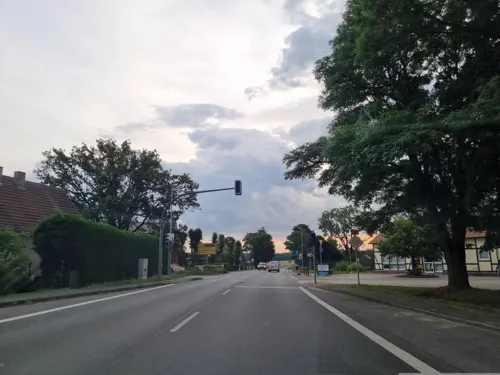
Bauernhofladen
Farm and orchard · 8.5 km
Landwirtschaftliche Produkte, Frischmilch
1 Senftenberger Straße, Neu-Seeland
Mo-Fr 08:00-18:00; Sa 08:00-12:00




23 more on the map.
Museums and landmarks61

Schloss Drebkau
Monument and historic site · 0.7 km
9 Schloßstraße, Drebkau
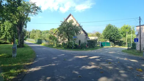
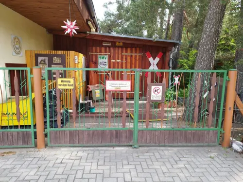
Modelová železnice, modelářství a sdružení pro panenky Neupetershain e.V.
Monument and historic site · 6.6 km
May-Oct: Tu,Th 14:00-18:00; Sa 13:00-18:00



Feuerwehrmuseum Welzow
Museum · 8.7 km
5 Schachtbauring, Welzow
Apr-Oct: Sa-Su 13:00-16:00

49 more on the map.
Parks, trails and playgrounds8





Segel und Wassersportgemeinschaft „Gräbendorfer See"
Marina and boat launch · 9.4 km
Restaurants and cafes37
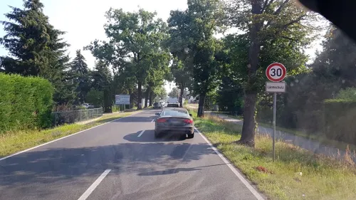
Hotel & Restaurant „La Pergola“
Restaurant · Italian · 8.7 km
65 Drebkauer Straße, Kolkwitz
Sa,Su 11:30-22:30; Mo,We-Fr 11:30-14:00,17:00-22:30
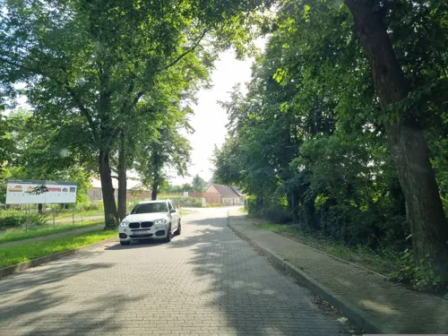
Drebkauer Kräuter- & Beerenhof
Cafe · 0.7 km
55 Gartenstraße, Drebkau
Sa 14:00-18:00; Su 10:00-18:00 || "nach Vereinbarung"
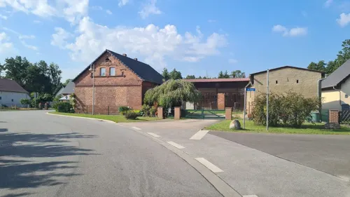
Tanz und Speisegaststätte Hartnick
Restaurant · Regional · 3.1 km
We-Sa 11:00-14:30; We-Sa 17:30-21:00; Su 10:00-15:00
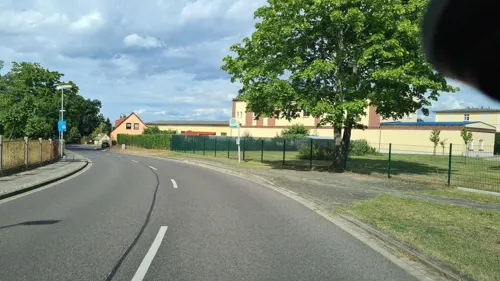
Imbiss Nord B169
Restaurant · 5.4 km
Imbiss mit eigener Küche, Mittagstisch, Softeis und Gastraum. Sonderöffnungszeiten am Wochenende.
1 Kirchstraße, Neupetershain
Mo 11:00-14:30; Tu-Fr 08:01-09:59,11:01-13:59
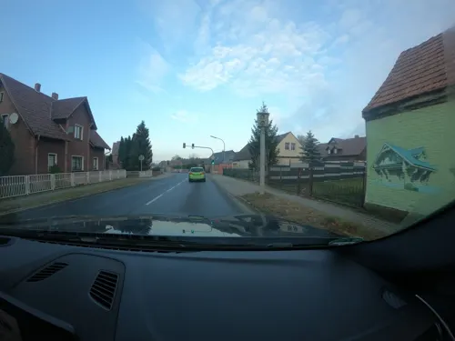
Schön Oßnig
Restaurant · Regional · 6.2 km
20 Klein Oßniger Straße, Drebkau
Mo-Tu 11:00-14:00; We-Fr 11:00-14:00,17:00-20:00; Sa,Su 11:00-20:00
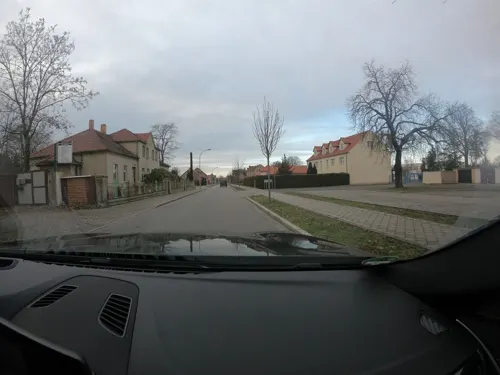
Antalya Bistro
Restaurant · Kebab, Lahmacun, German · 8.5 km
9 Jahnstraße, Welzow
Mo-Fr 10:00-23:00; Sa 11:00-23:00; Su 14:00-23:00
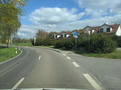
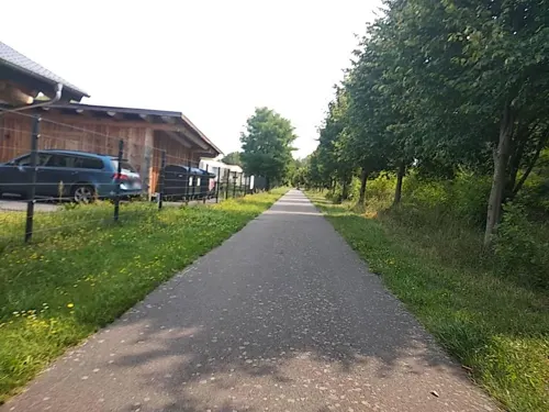
Blockhouse
Restaurant · German · 8.0 km
Mo-Su 12:00-20:00; Nov off; Dec off; Jan off; Feb off; Mar off
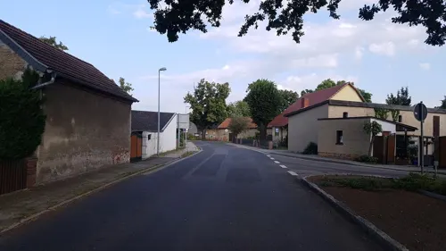
Kislinger
Restaurant · Regional · 8.5 km
1 Leeskower Straße, Neu-Seeland

Istanbul Döner & Pizza
Restaurant · Kebab, Pizza
Mo-Sa 10:00-21:00

Koselmühle
Restaurant · 7.4 km
67 Zur Koselmühle, Kolkwitz
We-Su 12:00-19:00
25 more on the map.
History
It was first mentioned in 1353. The town was at various times ruled by Bohemian, Hungarian, Saxon and monarchs, before it was became part of Prussia in 1815. The coat of arms contains the Czech Lion. From 1815 to 1947, Drebkau was part of the Province of Brandenburg.
During World War II, two forced labour subcamps of the Nazi prison for women in Cottbus were located in the present-day districts of Auras (Huraz) and Schorbus (Skjarbošc), respectively.
After the war, Drebkau was incorporated into the State of Brandenburg from 1947 to 1952 and the Bezirk Cottbus of East Germany from 1952 to 1990. Since 1990, Drebkau has been part of Brandenburg.
From the History section of Drebkau on Wikipedia, under CC BY-SA 4.0.
Where to stay13
Churches and places of worship13
Dorfkirche Groß Oßnig
Church · Protestant · 9.7 km
3 Oßniger Dorfstraße, Neuhausen/Spree
Dorfkirche von Petershain
Church · Protestant · 5.4 km
4 Kirchstraße, Neupetershain
Shopping9
Gas and EV charging3
Schools, colleges and libraries6
Schiebell Grundschule
School · 0.6 km
1 General-von-Schiebell-Straße, Drebkau
Brandenburg University of Technology Cottbus-Senftenberg
School · 10.4 km
Healthcare1
Map of Drebkau
186 places. The map loads OpenStreetMap tiles when you open it.
Getting there and nearby towns
Dresden Airport (DRS) is the nearest airport with scheduled flights listed in OpenStreetMap, 66 km away.
- Kolkwitz 11 km north, about 11 min by car
- Cottbus 14 km northeast, about 14 min by car
- Großräschen 16 km southwest, about 16 min by car
- Senftenberg 21 km southwest, about 21 min by car
- Hoyerswerda 24 km south, about 24 min by car
- Peitz 26 km northeast, about 26 min by car
- Schipkau 27 km southwest, about 27 min by car
- Lubnjow 30 km northwest, about 30 min by car
- Schwarzheide 32 km southwest, about 32 min by car
- Weißwasser 33 km southeast, about 33 min by car
Drive times are estimates from straight-line distance, not routes.
Towns near Drebkau


Keep exploring
Local news
Headlines from INDB.
Reviews, tips and questions
Loading what members have shared...
Sources and licences
- GeoNames (CC BY 4.0): population, coordinates, regions and time zone
- Mapillary (see each image): photos
- OpenStreetMap contributors (ODbL 1.0): places, airports, map data
- Wikidata (CC0 1.0): elevation, founding date, time zone, website, landmarks and historic places
- Wikimedia Commons (see each image): photos
- Wikipedia (CC BY-SA 4.0): overview and history text
Photo credits
- Drebkauer Hauptstraße 29 Drebkau, Clemensfranz, CC BY-SA 3.0
- Am Markt Kirche Drebkau, Clemensfranz, CC BY-SA 3.0
- General-von-Schiebell-Straße 1 Drebkau, Clemensfranz, CC BY-SA 3.0
- Bahnhof, Drebkau, Deutschland - panoramio (1), André L., CC BY 3.0
- Bahnhofsstraße 3 Drebkau, Clemensfranz, CC BY-SA 3.0
- Bahnhof, Drebkau, Deutschland - panoramio, André L., CC BY 3.0
- Drebkau, Deutschland - panoramio, André L., CC BY 3.0
- Postamt, Drebkau - panoramio, André L., CC BY 3.0
- Jugendclub, Drebkau, Deutschland - panoramio, André L., CC BY 3.0
- Werde aktiv^, Drebkau - panoramio, André L., CC BY 3.0
- Drebkau, Deutschland - panoramio (1), André L., CC BY 3.0
- Jugendclub, Drebkau, Deutschland - panoramio (1), André L., CC BY 3.0
- Drebkau, Deutschland - panoramio (2), André L., CC BY 3.0
- Drebkauer Hauptstraße 29 Gedenktafel Drebkau, Clemensfranz, CC BY-SA 3.0
- Drebkauer Hauptstraße 29 Wappen Drebkau, Clemensfranz, CC BY-SA 3.0
- Rathausstraße 2 Drebkau, Clemensfranz, CC BY-SA 3.0
- Drebkauer Hauptstraße 32 Drebkau, Clemensfranz, CC BY-SA 3.0
- General-von-Schiebell-Straße 14 Drebkau, Clemensfranz, CC BY-SA 3.0
- Drebkauer Hauptstraße 51 Drebkau, Clemensfranz, CC BY-SA 3.0
- General-von-Schiebell-Straße 4 Drebkau, Clemensfranz, CC BY-SA 3.0
- Am Markt 10 Drebkau, Clemensfranz, CC BY-SA 3.0
- Drebkauer Hauptstraße Straße Drebkau, Clemensfranz, CC BY-SA 3.0
- 28854-Drebkau-1955-Kirche-Brück & Sohn Kunstverlag, Brück & Sohn Kunstverlag Meißen, CC BY-SA 3.0
- 29179-Drebkau-1956-Bergmanns-Wohnstätte-Brück & Sohn Kunstverlag, Brück & Sohn Kunstverlag Meißen, CC BY-SA 3.0
- 29373-Drebkau-1957-Jugendschule Raakow-Brück & Sohn Kunstverlag, Brück & Sohn Kunstverlag Meißen, CC BY-SA 3.0
- 29372-Drebkau-1957-Rathaus-Brück & Sohn Kunstverlag, Brück & Sohn Kunstverlag Meißen, CC BY-SA 3.0
- 29178-Drebkau-1956-Bahnhofstraße-Brück & Sohn Kunstverlag, Brück & Sohn Kunstverlag Meißen, CC BY-SA 3.0
- 28855-Drebkau-1955-Bahnhofstraße-Brück & Sohn Kunstverlag, Brück & Sohn Kunstverlag Meißen, CC BY-SA 3.0
- Kriegerdenkmal Kausche (Drebkau), SPBer, CC BY-SA 4.0
- Skjarbošc Cyrkej 6, Julian Nyča, CC BY-SA 3.0
- Steinitzer Treppe 2012 0803, SPBer, CC BY-SA 3.0
- Gedenktafel bogumił šwjela 2020-05-22 3, Z thomas, CC BY-SA 4.0
- Leuthendorfkirche2, Z thomas, CC BY-SA 3.0
- Evangelische Kirche Welzow 2016 SW, Hans G. Oberlack, CC BY-SA 4.0
- Ensemble Kirche kriegerdenkmal groß oßnig 2020-08-22 13, Z thomas, CC BY-SA 4.0
- Dorfkirche Illmersdorf bei Drebkau Südseite, Engeser, CC BY-SA 4.0
- Dorfkirche Greifenhain (Drebkau) (1) 2021, Rheinlausitzer, CC BY-SA 4.0
- Schloßstraße 9 Schloss Drebkau, Clemensfranz, CC BY-SA 3.0
- Katholische Kirche Welzow 2016 SE, Hans G. Oberlack, CC BY-SA 4.0
- Kirche schorbus 2020-05-22 3, Z thomas, CC BY-SA 4.0
- Hütte Aussichtspunkt Wolkenberg (Spremberg), Ubahnverleih, CC0
- Stein Feuerwehr - Wolkenberg (Spremberg), Ubahnverleih, CC0
- Street-level photo, dsmm, CC BY-SA 4.0
- Street-level photo, dsmm, CC BY-SA 4.0
- Street-level photo, dsmm, CC BY-SA 4.0
- Street-level photo, dsmm, CC BY-SA 4.0
- Street-level photo, dsmm, CC BY-SA 4.0
- Street-level photo, dsmm, CC BY-SA 4.0
- Street-level photo, jenki, CC BY-SA 4.0
- Street-level photo, dsmm, CC BY-SA 4.0
- Street-level photo, naturauf, CC BY-SA 4.0
- Street-level photo, dsmm, CC BY-SA 4.0
- Street-level photo, naturauf, CC BY-SA 4.0
- Street-level photo, ber319, CC BY-SA 4.0
- Street-level photo, mbit, CC BY-SA 4.0
- Street-level photo, jenki, CC BY-SA 4.0
- Street-level photo, dsmm, CC BY-SA 4.0
- Street-level photo, naturauf, CC BY-SA 4.0
- Street-level photo, mbit, CC BY-SA 4.0
- Street-level photo, mbit, CC BY-SA 4.0
- Street-level photo, dsmm, CC BY-SA 4.0
- Street-level photo, dsmm, CC BY-SA 4.0
- Street-level photo, lvl5, CC BY-SA 4.0
- Street-level photo, dsmm, CC BY-SA 4.0


Page built November 9, 2026. Spotted a mistake? Tell us or suggest a place.