


Friedrichsdorf, Germany
Friedrichsdorf is a town of 5,580 people in North Rhine-Westphalia, Germany.
Why visit Friedrichsdorf
Townapedia lists 4 museums and landmarks, 7 parks and trails, 15 places to eat and 2 attractions in and around town.
Highlights include Museum Osthusschule, Kampeters Kolk and Reiher- und Röhrbach.
Weather in Friedrichsdorf
Forecast from MET Norway (CC BY 4.0). Full forecast
Things to do2

Museums and landmarks4

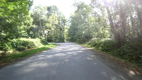


Parks, trails and playgrounds7



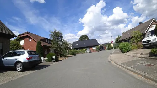
Restaurants and cafes15

Pasta Imperia
Restaurant · Pizza, Salad, Fish, Wings, Italian, Pasta, Soup
1 Paderborner Straße, Gütersloh
Mo-Su 17:00-22:00
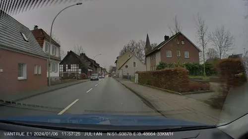

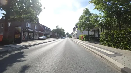
Tippe Grill
Restaurant · Burger, Falafel, Hot Dog, Pizza, Turkish, Kebab, Salad
520 Avenwedder Straße, Gütersloh
Tu-Sa 11:30-22:00; PH,Su 12:30-22:00
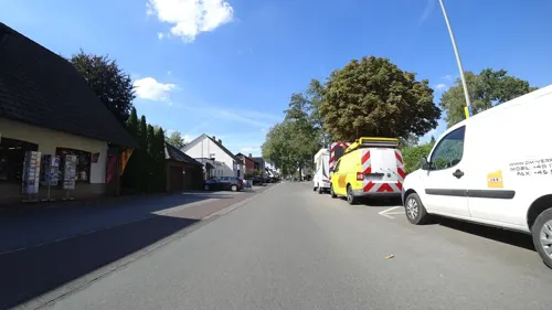
Bei Stavros
Restaurant · Greek · 0.8 km
We-Sa 17:00-23:00; Su,PH 11:30-14:30,17:00-23:00; Tu 11:30+; Mo off

Birkholz
Bakery
512 Avenwedder Straße, Gütersloh
Mo-Fr 05:45-18:00; Sa 05:45-14:00; Su 08:00-16:00
Feiertag
Bakery
62 Zur Großen Heide, Gütersloh
Mo-Fr 06:00-12:30,14:30-18:00; Sa 06:00-13:00; Su 08:00-10:00
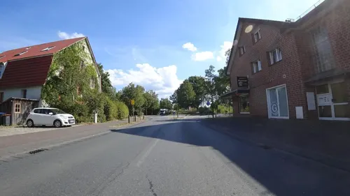
Glasenapp
Bakery · 0.8 km
278 Friedrichsdorfer Straße, Gütersloh
Mo-Fr 05:30-18:00; Sa 06:30-12:00; Su 07:30-11:30
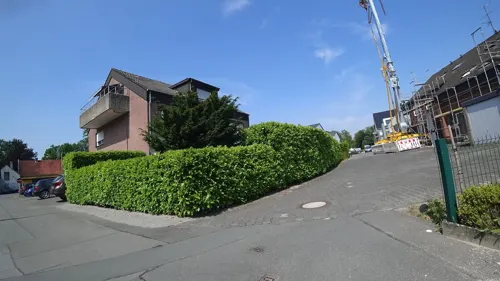


Windflöte Backshop
Bakery · 0.7 km
61 Lippstädter Straße, Bielefeld
Mo-Sa 06:00-18:00; Su,PH 08:00-16:00

Zur alten Wassermühle
Bar and pub · 0.9 km
45 Lippstädter Straße, Bielefeld
We-Sa 19:00-00:00
3 more on the map.
Churches and places of worship3
Sankt Friedrich
Church · Roman Catholic
517 Avenwedder Straße, Gütersloh
Shopping3
Gas and EV charging2
Schools, colleges and libraries4
Healthcare1
Map of Friedrichsdorf
41 places. The map loads OpenStreetMap tiles when you open it.
Getting there and nearby towns
Flugplatz Bielefeld (BFE) is the nearest airport with scheduled flights listed in OpenStreetMap, 5 km away.
- Verl 6 km south, about 6 min by car
- Gütersloh 8 km southwest, about 8 min by car
- Steinhagen 9 km northwest, about 9 min by car
- Bielefeld 11 km north, about 11 min by car
- Oerlinghausen 12 km east, about 12 min by car
- Rietberg 15 km south, about 15 min by car
- Rheda-Wiedenbrück 16 km southwest, about 16 min by car
- Halle 16 km northwest, about 16 min by car
- Werther 16 km north, about 16 min by car
- Leopoldshöhe 17 km northeast, about 17 min by car
Drive times are estimates from straight-line distance, not routes.
Local news
Headlines from INDB.
Reviews, tips and questions
Loading what members have shared...
Sources and licences
- GeoNames (CC BY 4.0): population, coordinates, regions and time zone
- Mapillary (see each image): photos
- OpenStreetMap contributors (ODbL 1.0): places, airports, map data
- Wikidata (CC0 1.0): elevation, founding date, time zone, website
- Wikimedia Commons (see each image): photos
Photo credits
- Friedrichsdorf Kath. Kirche St. Friedrich 2005, ludger1961 ( talk ), Attribution
- Friedrichsdorf - St. Friedrich - 1, Ath, CC0
- Friedrichsdorf Johanneskirche 3, Daniel Brockpähler, CC BY-SA 3.0
- Bielefeld-Senne - Museum Osthusschule, Ath, CC0
- Lutherkirche Windflöte, Der wahre Jakob, CC BY-SA 3.0
- Grenzstein Nr. 19 - Ravensberg - Amt Reckenberg - Reckenberger Seite, Ath, CC0
- Grenzstein Nr. 20 - Ravensberg - Amt Reckenberg - Reckenberger Seite, Ath, CC0
- NSG Reiherbach Röhrbach Bielefeld 2, Bielibob, CC BY-SA 3.0
- Bielefeld - NSG Schwarzes Venn - 4, Ath, CC0
- Bielefeld Kampeters Kolk 2, Zefram, CC BY 2.0 de
- Bielefeld Johanneskirche 7, Zefram, CC BY 2.0 de
- Bielefeld Johanneskirche 6, Zefram, CC BY 2.0 de
- Bielefeld Johanneskirche 4, Zefram, CC BY 2.0 de
- Bielefeld Johanneskirche 3, Zefram, CC BY 2.0 de
- Bielefeld Johanneskirche 2, Zefram, CC BY 2.0 de
- Bielefeld Johanneskirche 5, Zefram, CC BY 2.0 de
- Bielefeld Johanneskirche 1, Zefram, CC BY 2.0 de
- Ricarda Schaber, CPD Football - Chris Punnakkattu Daniel, CC BY-SA 4.0
- Ingrid Syrstad Engen, CPD Football - Chris Punnakkattu Daniel, CC BY-SA 4.0
- Bielefeld Kampeters Kolk 1, Zefram, CC BY 2.0 de
- Bielefeld Kampeters Kolk 3, Zefram, CC BY 2.0 de
- Bielefeld Kampeters Kolk 4, Zefram, CC BY 2.0 de
- Bielefeld Kampeters Kolk 5, Zefram, CC BY 2.0 de
- Bielefeld - A33 - Brücke Schwarzes Venn, Ath, CC0
- Denkmal Bielefeld. 05, Bielibob, CC BY-SA 3.0
- Guetersloh-roehrbach01, Erdkröte, Public domain
- Ehemaliger Schafstall A245, Worldfootage, CC BY-SA 4.0
- Street-level photo, nrailuj, CC BY-SA 4.0
- Street-level photo, flohoff, CC BY-SA 4.0
- Street-level photo, nrailuj, CC BY-SA 4.0
- Street-level photo, flohoff, CC BY-SA 4.0
- Street-level photo, nrailuj, CC BY-SA 4.0
- Street-level photo, flohoff, CC BY-SA 4.0
- Street-level photo, flohoff, CC BY-SA 4.0
- Street-level photo, flohoff, CC BY-SA 4.0
- Street-level photo, flohoff, CC BY-SA 4.0
- Street-level photo, flohoff, CC BY-SA 4.0


Page built November 9, 2026. Spotted a mistake? Tell us or suggest a place.