


Why visit Beaumaris
Townapedia lists 13 museums and landmarks, 10 parks and trails, 17 places to eat, 6 places to stay and 1 attraction in and around town.
Highlights include Traeth Lafan, Beaumaris Castle, Beaumaris Gaol and Spinnies Nature Reserve.
Weather in Beaumaris
Forecast from MET Norway (CC BY 4.0). Full forecast
About Beaumaris
Beaumaris (; Welsh: Biwmares Welsh pronunciation: [bɪuˈmaːrɛs] ) is a town and community on the Isle of Anglesey in Wales, of which it is the former county town. It is located at the eastern entrance to the Menai Strait, the tidal waterway separating Anglesey from the coast of North Wales. At the 2021 census, its population was 1,121. The community includes Llanfaes.
From the Wikipedia article Beaumaris (this version), under CC BY-SA 4.0.
Travel tips from other travellers: Beaumaris on Wikivoyage (CC BY-SA 4.0).
Photos of Beaumaris


Things to do1

Museums and landmarks13


Castell Aberlleiniog
Monument and historic site · 2.1 mi
Grade II* listed building in Anglesey

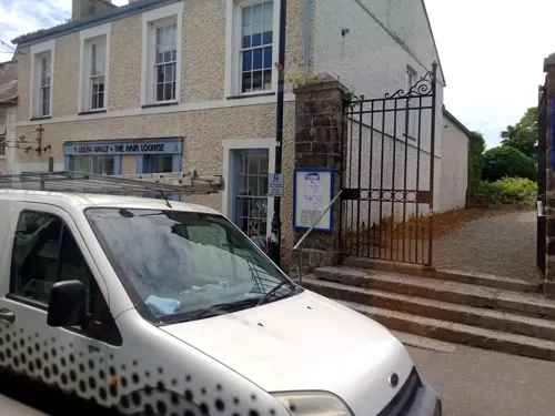
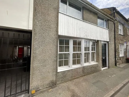


1 more on the map.
Parks, trails and playgrounds10

Spinnies Nature Reserve
Park · 2.5 mi
Nature reserve at Aberogwen, Wales
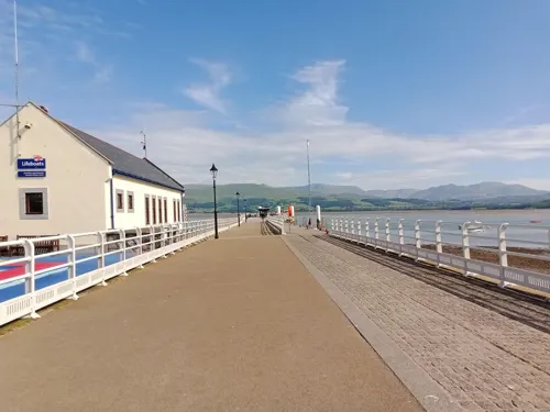
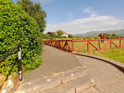

Llanddona Common
Park · 2.6 mi
Local nature reserve around and in the village of Llanddona



Restaurants and cafes17



Jolly's Coffee House & Patisserie
Cafe
5 Bulkeley Terrace, Beaumaris
Mo-Su 09:00-17:00
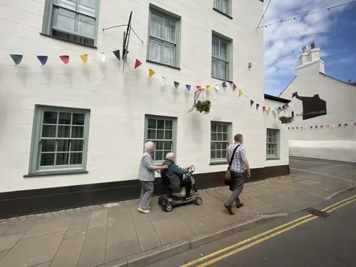
Dockshack
Restaurant · Fish And Chips
9 Heol y Castell / Castle Street, Beaumaris
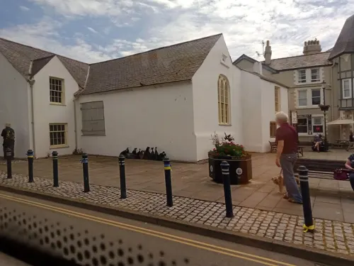


5 more on the map.
History
Beaumaris was originally a Viking settlement known as Porth y Wygyr ("Port of the Vikings"), but the town itself began its development in 1295 when Edward I of England, having conquered Wales, commissioned the building of Beaumaris Castle as part of a chain of fortifications around the North Wales coast (others include Conwy, Caernarfon and Harlech).
The castle was built on a marsh, and that is where it found its name; the Norman-French builders called it beaux marais, which translates as "fair marsh".
The ancient village of Llanfaes, one mile (1.5 kilometres) to the north of Beaumaris, had been occupied by Anglo-Saxons in 818 but had been regained by Merfyn Frych, King of Gwynedd, and remained a vital strategic settlement. To counter further Welsh uprisings and to ensure control of the Menai Strait, Edward I chose the flat coastal plain as the place to build Beaumaris Castle. The castle was designed by the Savoyard mason Master James of Saint George and is considered the most perfect example of a concentric castle. The 'troublesome' residents of Llanfaes were removed en bloc to Rhosyr in the west of Anglesey, a new settlement King Edward entitled "Newborough".
Read more of the history
Beaumaris was awarded a royal charter by Edward I in 1296, which was drawn up on similar terms to the charters of his other castle towns in North Wales and intended to invest only the English and Norman-French residents with civic rights. Native Welsh residents of Beaumaris were largely disqualified from holding any civic office, carrying any weapon, and holding assemblies; and were not allowed to buy houses or land within the borough. The charter also specifically prohibited Jews (who had been largely expelled from most English towns) from living in Beaumaris.
From 1562 until the Reform Act 1832, the Beaumaris constituency was a rotten borough with the member of parliament elected by the corporation of the town, which was in the control of the Bulkeley family.
Beaumaris was the port of registration for all vessels in North West Wales, covering every harbour on Anglesey and all the ports from Conwy to Pwllheli. Shipbuilding was a major industry in Beaumaris. This was centred on Gallows Point – a nearby spit of land extending into the Menai Strait about one mile (1.5 kilometres) west of the town. Gallows Point had originally been called "Osmund's Eyre" but was renamed when the town gallows was erected there – along with a "Dead House" for the corpses of criminals dispatched in public executions. Later, hangings were carried out at the town jail and the bodies buried in a lime-pit within the curtilage of the jail. One of the last prisoners to hang at Beaumaris issued a curse before he died – decreeing that if he was innocent the four faces of the church clock would never show the same time.
Beaumaris was a haven of refuge in a storm to the passengers of the sailing ship, Everton, on a Thursday morning in November,1762 when it ran aground on a nearby sand bank. The ship's Captain, knowing nothing could be done before high tide six hours hence, ordered the yawl to be lowered carrying himself and all the passengers to shore for fresh provisions in the town. One of those passengers was Devereux Jarratt from Virginia who was voyaging to London to receive holy orders from the Bishop of London in the Church of England. He writes in his autobiography, "As I had eaten nothing for several days, but salt beef, ranced butter, black biscuit, &tc. while on board, the meat, butter, and every thing I ate, at Beaumaris, exceeded any thing I ever had tasted in all my life. Having refreshed ourselves, in the most delicious and agreeable manner, we took a view of the town, and the remains of an old castle standing just without the town, which had been erected as a place of security and defence, by one of the first kings of England. Every thing appeared so delightful, and the inhabitants looked so fresh and ruddy, that I thought no people in the world could live better than the Welsh. The high mountain of Penmanmaur, lying over against the town, with the top in the clouds, and all the visible parts covered with snow, exhibited the most grand and majestic appearance, I had ever seen."
According to historian Hywel Teifi Edwards, when the "Provincial Eisteddfod" was held at Beaumaris in 1832, a young Princess Victoria and her mother were in attendance.
Beaumaris has never had a railway station built to the town, although the nearby village of Pentraeth had a station on the former Red Wharf Bay branch line which ran off the Anglesey Central Railway. It was roughly six miles (ten kilometres) west of the town by road. This station closed in 1930.
From the History section of Beaumaris on Wikipedia, under CC BY-SA 4.0.
More about Beaumaris
Education
Beaumaris is served by one primary school. Its 300-year-old grammar school moved to nearby Menai Bridge in 1963 and became the comprehensive Ysgol David Hughes.
From the Wikipedia article Beaumaris, under CC BY-SA 4.0.
Notable people from Beaumaris
 Reginald Wynn OwenWelsh architect (1876–1950)Photo: Ben Brooksbank, CC BY-SA 2.0
- Neil SloaneBritish mathematician
- Lewes RobertsWelsh merchant and writer
- Charles Allen DuvalWelsh painter, photographer and writer (1810-1872)
- Alvan WilliamsWelsh footballer and manager (1932-2003)
- Robert Lee RobertsWelsh footballer (1868-1943)
- Richard LlwydWelsh poet (1752–1835)
- Lancelot BulkeleyIrish bishop
- Arthur BulkeleyWelsh bishop
- Catherine DaviesGoverness in Naples
Born in Beaumaris, according to Wikidata (CC0). Each name links to its Wikipedia article.
Where to stay6
Churches and places of worship9
St Mary's Church of Wales
Church · Church In Wales (Anglican)
2 Steeple Lane, Beaumaris
Shopping10
Gas and EV charging1
Schools, colleges and libraries6
Healthcare1
Map of Beaumaris
74 places. The map loads OpenStreetMap tiles when you open it.
Getting there and nearby towns
RAF Valley - Anglesey Airport (VLY) is the nearest airport with scheduled flights listed in OpenStreetMap, 18 miles away.
- Bangor 3 mi southwest, about 5 min by car
- Menai Bridge 4 mi southwest, about 6 min by car
- Llanfairfechan 5 mi east, about 8 min by car
- Tregarth 5 mi south, about 8 min by car
- Llanfairpwllgwyngyll 5 mi southwest, about 9 min by car
- Bethesda 6 mi south, about 9 min by car
- Penmaenmawr 7 mi east, about 11 min by car
- Gaerwen 8 mi west, about 13 min by car
- Llangefni 9 mi west, about 15 min by car
- Caernarfon 11 mi southwest, about 18 min by car
Drive times are estimates from straight-line distance, not routes.
Towns near Beaumaris


Keep exploring
Local news
Headlines from INDB.
Reviews, tips and questions
Loading what members have shared...
Sources and licences
- GeoNames (CC BY 4.0): population, coordinates, regions and time zone
- Mapillary (see each image): photos
- OpenStreetMap contributors (ODbL 1.0): places, airports, map data
- Wikidata (CC0 1.0): elevation, founding date, time zone, website, landmarks and historic places
- Wikimedia Commons (see each image): photos
- Wikipedia (CC BY-SA 4.0): overview and history text
Photo credits
- Traeth Lafan, myself, Public domain
- Castellaberlleiniog, Stephen Elwyn RODDICK, CC BY-SA 2.0
- Our Lady and St James, Bangor, Andrew Woodvine from Bangor, CC BY-SA 2.0
- Eglwys Sant St Cawrdaf Church (misspelt as St Cawdraf), Llangoed, Ynys Môn, Cymru, North Wales 03, Llywelyn2000, CC BY-SA 4.0
- Eglwys Sant Iestyn, Llaniestyn, Ynys Môn, Cymru Wales 19, Llywelyn2000, CC BY-SA 4.0
- Bangor University (50555605717), Andrew Woodvine from Bangor, CC BY-SA 2.0
- Santes Gathrin Llanfaes Biwmares St Catherine's Church Sir Fon Beaumaris Anglesey Wales 11, Llywelyn2000, CC BY-SA 4.0
- Eglwys y Santes Fair a Sant Nicolas, Biwmares - St Mary's and St Nicholas's Church, Beaumaris, Anglesey, Wales 16, Llywelyn2000, CC BY-SA 4.0
- Castell Beaumaris Castle, Ynys Mon (Anglesey), Wales 44, Llywelyn2000, CC BY-SA 4.0
- The Bull (1), Huwpritchard, CC BY-SA 3.0
- Tudor Rose, Beaumaris (7386151894), Jim Linwood from London, CC BY 2.0
- Bishopsgate Hotel, Beaumaris 01, Braveheart, CC BY-SA 4.0
- Liverpool Arms Hotel (34545698314), Reading Tom from Reading, UK, CC BY 2.0
- The George and Dragon Pub, Beaumaris, Anglesey, Wales, Jim Linwood, CC BY 2.0
- Pier House & Cafe, Beaumaris, Braveheart, CC BY-SA 4.0
- Beaumaris Gaol, Ian Taylor, CC BY-SA 2.0
- Castell Beaumaris Castle, Ynys Mon (Anglesey), Wales 45, Llywelyn2000, CC BY-SA 4.0
- Beaumaris Church, Necrothesp at English Wikipedia, CC BY-SA 3.0
- View of the Spinnies Nature Reserve, Gwynedd, North Wales, Lesbardd, CC BY-SA 4.0
- Brigantia, Bangor, 12xii, CC BY-SA 4.0
- Fron Heulog, Bangor, 12xii, CC BY-SA 4.0
- Front - plant (1), BangorWeb, CC BY-SA 4.0
- Castle Street (34545700034), Reading Tom from Reading, UK, CC BY 2.0
- Castell Beaumaris Castle, Ynys Mon (Anglesey), Wales 09, Llywelyn2000, CC BY-SA 4.0
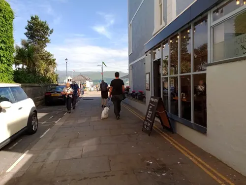
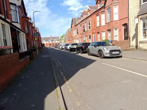
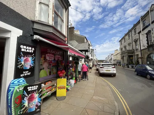
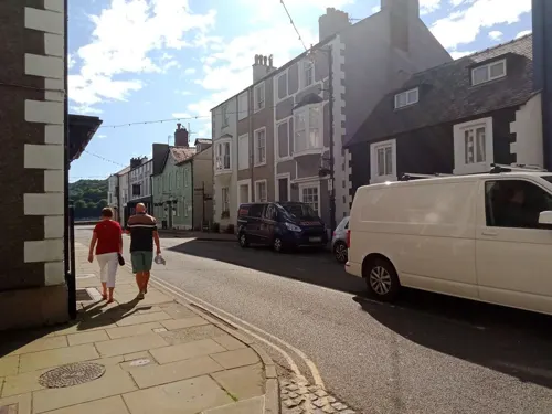
- Street-level photo, annekaro, CC BY-SA 4.0
- Street-level photo, annekaro, CC BY-SA 4.0
- Street-level photo, debigc, CC BY-SA 4.0
- Street-level photo, debigc, CC BY-SA 4.0
- Street-level photo, annekaro, CC BY-SA 4.0
- Street-level photo, annekaro, CC BY-SA 4.0
- Street-level photo, annekaro, CC BY-SA 4.0
- Street-level photo, annekaro, CC BY-SA 4.0
- Street-level photo, debigc, CC BY-SA 4.0
- Street-level photo, annekaro, CC BY-SA 4.0
- Street-level photo, annekaro, CC BY-SA 4.0
- Street-level photo, annekaro, CC BY-SA 4.0
- Street-level photo, annekaro, CC BY-SA 4.0
- Street-level photo, annekaro, CC BY-SA 4.0
- Street-level photo, annekaro, CC BY-SA 4.0
- Street-level photo, annekaro, CC BY-SA 4.0
- Street-level photo, debigc, CC BY-SA 4.0
- Street-level photo, annekaro, CC BY-SA 4.0
- Street-level photo, annekaro, CC BY-SA 4.0
- Street-level photo, debigc, CC BY-SA 4.0
- Street-level photo, annekaro, CC BY-SA 4.0
- Street-level photo, annekaro, CC BY-SA 4.0
- Street-level photo, annekaro, CC BY-SA 4.0


Page built November 10, 2026. Spotted a mistake? Tell us or suggest a place.