
Bishop's Castle, United Kingdom
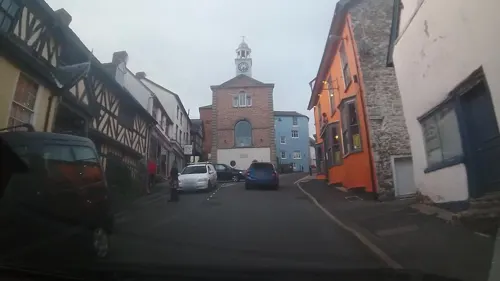
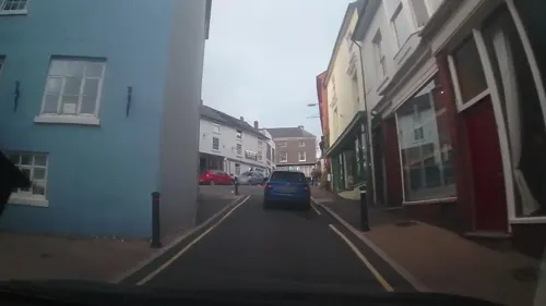
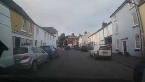
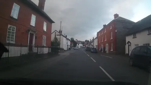
Bishop's Castle is a town of 1,893 people in England, United Kingdom.
Why visit Bishop's Castle
Townapedia lists 25 museums and landmarks, 9 places to eat and 2 places to stay in and around town.
Highlights include The House on Crutches Museum and Boars Head.
Weather in Bishop's Castle
Forecast from MET Norway (CC BY 4.0). Full forecast
About Bishop's Castle
Bishop's Castle is a market town in the south west of Shropshire, England. According to the 2011 Census it had a population of 1,893.
From the Wikipedia article Bishop's Castle (this version), under CC BY-SA 4.0.
Travel tips from other travellers: Bishop's Castle on Wikivoyage (CC BY-SA 4.0).
Museums and landmarks25
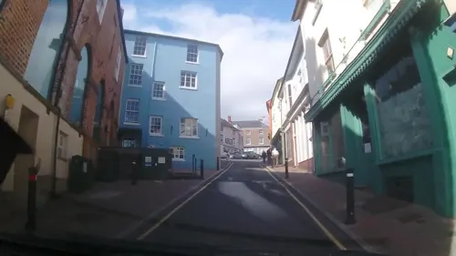
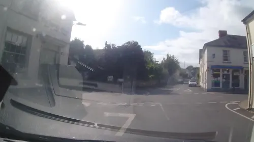
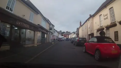
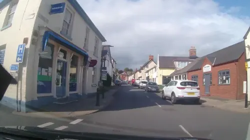
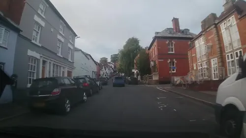
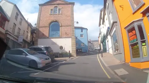
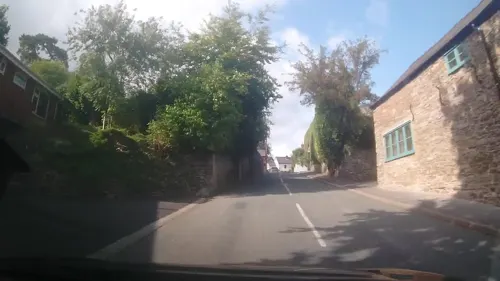

13 more on the map.
Restaurants and cafes9
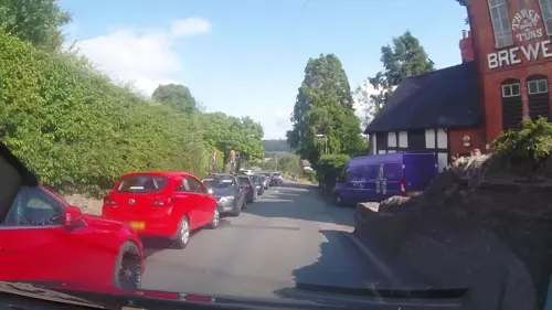
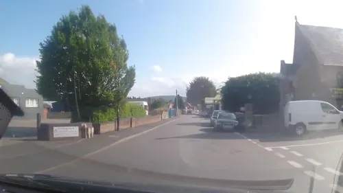
Where to stay2
Churches and places of worship1
History
Documented history begins in Saxon times for Bishop's Castle when Edwin Shakehead, grateful for being miraculously cured of the palsy at Saint Ethelbert's tomb in Hereford Cathedral gave part of his lands to the incumbent Bishop of Hereford. A later Bishop of Hereford built a castle, originally a motte and bailey design, in 1087 to defend the church and village from the threat of the Welsh (its site grid reference SO323891). The castle has been under attack several times, not always by Welsh raiders, most notably in 1263 when John Fitzalan, Lord of Arundel and feudal Lord of Oswestry and Clun, held it under siege in the course of a feud with the Bishop of Hereford and caused significant damage, estimated at 1,060 marks.
In the Early Middle Ages the castle and parish were situated partly in Wales and partly in England so territorial disputes literally 'came with the territory'.
In 1557 the castle was described as follows: "thirteen rooms covered with lead, a tower on the outer wall on the eastern side containing a stable, and two rooms covered with tiles. There were two other rooms called 'le new buyldinge' situated on the outer wall between the building over the gate and the tower called 'le prison tower'. There was also a dovecote, a garden, a forest and a park."
Read more of the history
As peace came to the Welsh Marches Bishop's Castle became one of the notorious rotten boroughs, an electorally corrupt situation wherein the tiny borough elected two members of parliament from 1585.
In 1618 the castle started to deteriorate and in the 1700s the stone keep and surroundings were flattened to make a bowling green. (Some historians believe that the houses along Market Square and Castle Street were built upon the foundations of an outer wall due to the curvature of the houses).
In 1642, the Three Tuns Brewery was established on its current site, making it the oldest licensed brewery site in Britain. While some of the current building dates to the seventeenth century, the main building is a Victorian tower brewery erected about 1888.
In 1719 – the fifth year of the reign of George I and the year Daniel Defoe published Robinson Crusoe – the Castle Hotel was constructed over the site of the old baille [the French word for an enclosed court] of the ancient castle. It was built on the orders of a local landowner, James Brydges (1673–1744), who in the year the hotel was completed was created Duke of Chandos. In an age of unabashed corruption, he acquired a number of lucrative sinecure offices and amassed such wealth that he was known as 'Princely Chandos'.
The 1st Duke of Chandos sold the Castle Hotel to John Walcot who in turn sold it to Robert Clive, 1st Baron Clive of Plassey (1725–1774), known as 'Clive of India', who amassed such wealth during his time in that country that Horace Walpole writing from London to a country friend said: 'you will be frightened by the dearness of everything ... I expect that a pint of milk will soon not be sold under a diamond, and then nobody can keep a cow but my Lord Clive'. From Lord Clive the hotel descended to his son, Edward, and then to his grandson, who changed the family name to Herbert, his mother's maiden name. The older Edward became Earl of Powis on the death of his brother-in-law, George Herbert, 2nd Earl of Powis (of the previous creation of that title).
Local landowners, including Lord Clive, expended large sums of cash buying votes, a common practice at the time in some areas to ensure a seat in Parliament. In 1726 one unsuccessful parliamentary candidate was subsequently able to prove that of the 52 people voting for his rival, the incumbent MP, 51 had received bribes and inducements. The Reform Act 1832 eradicated this practice and Bishop's Castle was disenfranchised.
All that is physically left of the castle today is a 10 metres (30 feet) long, coursed stone wall on the west side of the castle site which is 2 metres (6 feet) thick and 3 metres (10 feet) high. It was overgrown with ivy and was recently renovated to keep it safe and stable. The Castle Hotel stands on the site of the castle itself and is largely built of stone salvaged from the original castle.
The layout of the town in the present day shows that originally the town was made up of 46 burgage plots which were separated by a few small lanes which have developed to be Church Street, Union Street and Station Street.
In 1249 a royal charter for a weekly market and an annual fair was granted. They are both still very popular.
In the 17th century, Bishop's Castle Town Hall was constructed as a new administrative centre, a court and a prison. It was refurbished with support from the Heritage Lottery Fund and was re-opened in June 2014.
The town was classified as a municipal borough in 1885. It lost this status in the 1960s, but still has a mayor and its regalia. It is now a "Quality Town Council".
Bishop's Castle was close to the epicentre of a magnitude 5.1 earthquake on 2 April 1990, which was felt throughout much of England and Wales.
The town is located close to the Shropshire Hills Area of Outstanding Natural Beauty.
From the History section of Bishop's Castle on Wikipedia, under CC BY-SA 4.0.
More about Bishop's Castle
Education
The town possesses a high school (Bishop's Castle Community College) which teaches 11- to 16-year-olds, around 450 students from the town and surrounding villages and towns. It also has a primary school and a Nursery.
From the Wikipedia article Bishop's Castle, under CC BY-SA 4.0.
Notable people from Bishop's Castle
- Albert HowardBritish botanist 1873-1947
- Robin Humphrey LeggeBritish music critic (1862–1933)
- Richard MoreEnglish cricketer (1879-1936)
Born in Bishop's Castle, according to Wikidata (CC0). Each name links to its Wikipedia article.
Shopping4
Gas and EV charging2
Schools, colleges and libraries3
The Community College, Bishop's Castle
School · 0.4 mi
Brampton Road, Bishops Castle
Healthcare2
Map of Bishop's Castle
48 places. The map loads OpenStreetMap tiles when you open it.
Getting there and nearby towns
Hawarden Airport (CEG) is the nearest airport with scheduled flights listed in OpenStreetMap, 47 miles away.
- Newtown 13 mi west, about 20 min by car
- Ludlow 15 mi southeast, about 24 min by car
- Great Hanwood 15 mi northeast, about 25 min by car
- Shrewsbury 18 mi northeast, about 30 min by car
- Leominster 21 mi southeast, about 34 min by car
- Ruyton-XI-Towns 21 mi north, about 34 min by car
- Wellington 25 mi northeast, about 40 min by car
- Bridgnorth 25 mi east, about 40 min by car
- Telford 26 mi northeast, about 43 min by car
- Oswestry 26 mi north, about 41 min by car
Drive times are estimates from straight-line distance, not routes.
Towns near Bishop's Castle


Keep exploring
Local news
Headlines from INDB.
Reviews, tips and questions
Loading what members have shared...
Sources and licences
- GeoNames (CC BY 4.0): population, coordinates, regions and time zone
- Mapillary (see each image): photos
- OpenStreetMap contributors (ODbL 1.0): places, airports, map data
- Wikidata (CC0 1.0): elevation, founding date, time zone, website
- Wikipedia (CC BY-SA 4.0): overview and history text
Photo credits
- Street-level photo, trigpoint, CC BY-SA 4.0
- Street-level photo, trigpoint, CC BY-SA 4.0
- Street-level photo, trigpoint, CC BY-SA 4.0
- Street-level photo, trigpoint, CC BY-SA 4.0
- Street-level photo, trigpoint, CC BY-SA 4.0
- Street-level photo, trigpoint, CC BY-SA 4.0
- Street-level photo, trigpoint, CC BY-SA 4.0
- Street-level photo, trigpoint, CC BY-SA 4.0
- Street-level photo, trigpoint, CC BY-SA 4.0
- Street-level photo, trigpoint, CC BY-SA 4.0
- Street-level photo, trigpoint, CC BY-SA 4.0
- Street-level photo, trigpoint, CC BY-SA 4.0
- Street-level photo, trigpoint, CC BY-SA 4.0
- Street-level photo, trigpoint, CC BY-SA 4.0
- Street-level photo, trigpoint, CC BY-SA 4.0
- Street-level photo, trigpoint, CC BY-SA 4.0
- Street-level photo, trigpoint, CC BY-SA 4.0
- Street-level photo, trigpoint, CC BY-SA 4.0
- Street-level photo, trigpoint, CC BY-SA 4.0
- Street-level photo, trigpoint, CC BY-SA 4.0
- Street-level photo, trigpoint, CC BY-SA 4.0
- Street-level photo, trigpoint, CC BY-SA 4.0
- Street-level photo, trigpoint, CC BY-SA 4.0
- Street-level photo, trigpoint, CC BY-SA 4.0
- Street-level photo, trigpoint, CC BY-SA 4.0
- Street-level photo, trigpoint, CC BY-SA 4.0
- Street-level photo, trigpoint, CC BY-SA 4.0
- Street-level photo, trigpoint, CC BY-SA 4.0
- Street-level photo, trigpoint, CC BY-SA 4.0
- Street-level photo, trigpoint, CC BY-SA 4.0
- Street-level photo, trigpoint, CC BY-SA 4.0
Page built November 10, 2026. Spotted a mistake? Tell us or suggest a place.