


Why visit Newtown
Townapedia lists 6 museums and landmarks, 5 parks and trails, 35 places to eat, 1 place to stay and 1 attraction in and around town.
Highlights include The Regent Centre, Dolforwyn Castle and The Robert Owen Museum.
Weather in Newtown
Forecast from MET Norway (CC BY 4.0). Full forecast
About Newtown
Newtown (Welsh: Y Drenewydd) is a town in Powys, Wales. It lies on the River Severn in the community of Newtown and Llanllwchaiarn, within the historic boundaries of Montgomeryshire. It was designated a new town in 1967 and saw population growth as firms settled, changing its market town character. Its 2001 population of 10,780 rose to 11,357 in the 2011 census, and rose again to 11,362 in the 2021 census.
From the Wikipedia article Newtown, Powys (this version), under CC BY-SA 4.0.
Travel tips from other travellers: Newtown on Wikivoyage (CC BY-SA 4.0).
Things to do1
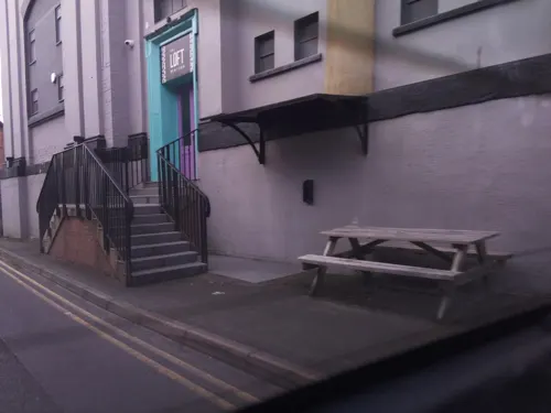
Museums and landmarks6

Dolforwyn Castle
Monument and historic site · 2.9 mi
Grade I listed castle in Powys, Wales



Parks, trails and playgrounds5


Restaurants and cafes35
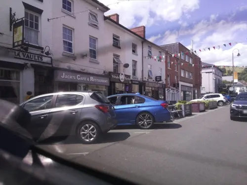
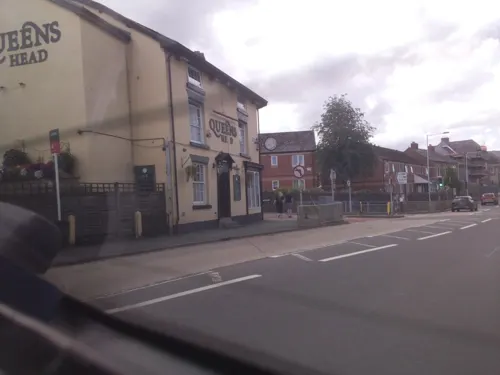



23 more on the map.
History
During the early medieval period a hamlet named Llanfair-yng-Nghedewain lay within the area that is now Newtown. Its original Welsh name is derived from being situated near a River Severn ford below the Long Bridge and close to the church of St Mary in Bettws Cedewain.
The area came to the attention of the English Crown in the 13th century when Llywelyn ap Gruffudd, Prince of Wales, created a new administrative centre (Welsh: cantref) at Dolforwyn Castle near Abermule following the Treaty of Montgomery between himself and Henry III. Llywelyn had the castle built to consolidate the land he had been given according to the treaty. However, it was not long after the death of Henry III in 1272 that tension arose with the English at their outpost of Montgomery Castle in the Welsh Marches. This led Edward I to seize and capture Dolforwyn Castle in 1277. He then granted Llywelyn's lands to the powerful Marcher Lord, Roger Mortimer, who transferred the administration of the cantref of Cedewain and the commote of Ceri from Dolforwyn Castle to a new settlement he planned to build further down the valley at Newtown. The town's market charter was granted in 1279.
With the subjugation of the Welsh completed by 1282, Newtown was developed as an English plantation town as part of Edward I's policy known as the Ring of Iron.
Read more of the history
The town grew in the 18th and 19th centuries around the textile and flannel industry, stimulated by completion of the Montgomeryshire Canal. In 1838, the town saw Wales's first Chartist demonstration.
The Cambrian Mills, opened in 1856, were the first steam-driven mills in Newtown. The mills stood beside the canal terminus on the east bank of the Severn. They expanded to become the largest of the Welsh woollen mills. However, by the end of the 19th century the Newtown mills were no longer competitive with those in the north of England. There was a disastrous fire in 1910 and another in 1912, after which the Cambrian Mills were not rebuilt. Thereafter Newtown was no longer an important centre of the woollen industry and many workers moved elsewhere.
Newtown hosted the National Eisteddfod in 1965. In 1967, the town was designated a new town. It saw a large population growth as firms and people settled, changing its rural market town character.
From the History section of Newtown, Powys on Wikipedia, under CC BY-SA 4.0.
More about Newtown
Geography
Newtown lies about 8 miles (13 km) from the Wales-England border, in the narrow valley of the River Severn, which restricts development north and south of the town. It is surrounded by small villages, often referred to collectively as the Newtown area. The Newtown post town area, including the villages, has a population approaching 16,000. The villages include Aberhafesp, Adfa, Bettws Cedewain, Bwlch-y-ffridd, Cefn-gwyn, Dolfor, Glanmule, Kerry, Llanllwchaiarn, Llanwyddelan, Mochdre, New Mills, Pentre, Rhydlydan, Sarn and Tregynon.
Education
The Newtown schools are Ysgol Robert Owen (special needs), Ysgol Calon y Dderwen (4–11), Ysgol Dafydd Llwyd (4–11), St Mary's (4–11), Penygloddfa (4–11), Maesyrhandir (4-11), Treowen (4–11), and Newtown High School and Sixth Form (11–18). The last recently received an outstanding Estyn inspection report in October 2015, praising many features, including teacher/sixth-form pupil relations and school support for a wide range of post-16 vocational and academic subjects. As of 2011, it was proposed that Newtown High School, along with several other schools in Powys, should merge with another county high school, as part of Powys County Council's secondary school and post-16 modernisation programme.
From the Wikipedia article Newtown, Powys, under CC BY-SA 4.0.
Notable people from Newtown
 Robert OwenWelsh textile manufacturer and social reformer (1771–1858)Photo: William Henry Brooke, Public domain
 John Basson HumffrayAustralian politician (1824-1891)Photo: John Black Henderson (1827-1918), Public domain
 Sir Cecil DayBritish civil servantPhoto: Supplement to the Auckland Weekly..., Public domain
- Carrie JonesWelsh association football player (born 2003)
- George LathamWelsh footballer (1881-1939)
- Paul DaviesBritish snooker player
- Dickie MorrisWelsh footballer
- Ryan SearsWelsh association football player
- Albert Pryce-JonesBritish association football player (1870-1946)
- William FinneyWelsh cricketer (1866-1927)
- Bert WilliamsWelsh association football player (1905-1974)
- Sir Edward Pryce-Jones, 1st BaronetWelsh politician
Born in Newtown, according to Wikidata (CC0). Each name links to its Wikipedia article.
Where to stay1
Churches and places of worship12
God the Holy Spirit Catholic Church
Church · Catholic · 0.7 mi
Longbridge Street, Newtown
Shopping8
Gas and EV charging1
Schools, colleges and libraries7
Healthcare2
Map of Newtown
78 places. The map loads OpenStreetMap tiles when you open it.
Getting there and nearby towns
Hawarden Airport (CEG) is the nearest airport with scheduled flights listed in OpenStreetMap, 48 miles away.
- Oswestry 26 mi northeast, about 42 min by car
- Shrewsbury 27 mi northeast, about 43 min by car
- Ludlow 27 mi east, about 43 min by car
- Leominster 31 mi southeast, about 50 min by car
- Wellington 35 mi east, about 57 min by car
- Rhosllannerchrugog 36 mi north, about 57 min by car
- Telford 37 mi east, about 1 h by car
- Hadley 37 mi east, about 59 min by car
- Wrexham 39 mi north, about 1 h by car
- Hereford 40 mi southeast, about 1 h by car
Drive times are estimates from straight-line distance, not routes.
Towns near Newtown


Keep exploring
Local news
Headlines from INDB.
Reviews, tips and questions
Loading what members have shared...
Sources and licences
- GeoNames (CC BY 4.0): population, coordinates, regions and time zone
- Mapillary (see each image): photos
- OpenStreetMap contributors (ODbL 1.0): places, airports, map data
- Wikidata (CC0 1.0): elevation, founding date, time zone, website, landmarks and historic places
- Wikimedia Commons (see each image): photos
- Wikipedia (CC BY-SA 4.0): overview and history text
Photo credits
- Newtown, Wales, artq55, CC BY-SA 2.0
- Dolforwyn Castle Powys Wales, user Llywelyn2000, CC BY-SA 3.0
- St Llwchaiarn’s church, Llanllwchaiarn 02, Tyssil, CC BY-SA 4.0
- Zion Baptist Church (8033357675), Peter Broster, CC BY 2.0
- Robert Owen museum, Newtown, LittleDwangs, CC BY-SA 4.0
- Street-level photo, southglos, CC BY-SA 4.0
- Street-level photo, trigpoint, CC BY-SA 4.0
- Street-level photo, southglos, CC BY-SA 4.0
- Street-level photo, trigpoint, CC BY-SA 4.0
- Street-level photo, southglos, CC BY-SA 4.0
- Street-level photo, southglos, CC BY-SA 4.0
- Street-level photo, southglos, CC BY-SA 4.0
- Street-level photo, southglos, CC BY-SA 4.0
- Street-level photo, southglos, CC BY-SA 4.0
- Street-level photo, southglos, CC BY-SA 4.0
- Street-level photo, trigpoint, CC BY-SA 4.0
- Street-level photo, trigpoint, CC BY-SA 4.0
- Street-level photo, southglos, CC BY-SA 4.0
- Street-level photo, southglos, CC BY-SA 4.0
- Street-level photo, southglos, CC BY-SA 4.0
- Street-level photo, southglos, CC BY-SA 4.0
- Street-level photo, southglos, CC BY-SA 4.0
- Street-level photo, southglos, CC BY-SA 4.0
Page built November 10, 2026. Spotted a mistake? Tell us or suggest a place.