


Brenchley, United Kingdom
Brenchley is a town of 1,171 people in England, United Kingdom.
Why visit Brenchley
Townapedia lists 2 museums and landmarks, 2 parks and trails, 6 places to eat and 1 place to stay in and around town.
Highlights include Matfield House, Brenchley Wood and Foal Hurst Wood.
Weather in Brenchley
Forecast from MET Norway (CC BY 4.0). Full forecast
About Brenchley
Brenchley is a village in the civil parish of Brenchley and Matfield, in the borough of Tunbridge Wells, Kent, England.
From the Wikipedia article Brenchley (this version), under CC BY-SA 4.0.
Museums and landmarks2

Matfield House
Monument and historic site · 1.2 mi

Parks, trails and playgrounds2


Restaurants and cafes6


Where to stay1
History
The name is historically derived from Branca's Leigh. The village is located 8 miles (13 km) east of Royal Tunbridge Wells, and 3 miles (4.8 km) south of Paddock Wood, and includes the neighbouring village of Matfield. Brenchley & Matfield CoE primary school is located in Brenchley.
The village earns some historical fame by being one of the villages that was closely involved in post medieval iron making. The site of the furnace lies within the parish of Horsmonden now.
A Market formerly held in the churchyard at Brenchley was granted in 1230 to Hamo de Crevecoeur, to be held on his own land, and the day moved from Sunday to Wednesday. In 1233 this was readjusted to Saturday. By 1296 it belonged to Gilbert de Clare, who in 1312 claimed that his ancestors had held it 'from time out of mind'.
From the History section of Brenchley on Wikipedia, under CC BY-SA 4.0.
Notable people from Brenchley
 Gordon GiltrapEnglish guitarist and composerPhoto: Baillon, CC BY-SA 4.0
- Edward MartinEnglish cricketer (1814-1869)
Born in Brenchley, according to Wikidata (CC0). Each name links to its Wikipedia article.
Churches and places of worship8
Schools, colleges and libraries2
Map of Brenchley
21 places. The map loads OpenStreetMap tiles when you open it.
Getting there and nearby towns
Rochester Airport (RCS) is the nearest airport with scheduled flights listed in OpenStreetMap, 15 miles away.
- Horsmonden 2 mi southeast, about 3 min by car
- Lamberhurst 4 mi south, about 6 min by car
- Goudhurst 4 mi southeast, about 6 min by car
- Yalding 5 mi north, about 8 min by car
- Royal Tunbridge Wells 6 mi west, about 10 min by car
- Tonbridge 6 mi northwest, about 10 min by car
- Ticehurst 7 mi south, about 12 min by car
- Speldhurst 8 mi west, about 12 min by car
- Sissinghurst 8 mi southeast, about 12 min by car
- Maidstone 9 mi northeast, about 15 min by car
Drive times are estimates from straight-line distance, not routes.
Towns near Brenchley


Keep exploring
Local news
Headlines from INDB.
Reviews, tips and questions
Loading what members have shared...
Sources and licences
- GeoNames (CC BY 4.0): population, coordinates, regions and time zone
- Mapillary (see each image): photos
- OpenStreetMap contributors (ODbL 1.0): places, airports, map data
- Wikidata (CC0 1.0): elevation, founding date, time zone, website, landmarks and historic places
- Wikimedia Commons (see each image): photos
- Wikipedia (CC BY-SA 4.0): overview and history text
Photo credits
- Brenchley Wood 8, Dudley Miles, CC BY-SA 4.0
- Lamberhurst, St Mary, Poliphilo, CC0
- All Saints, Brenchley from south west, Poliphilo, CC0
- Kent - The Old Workhouse - 2026-10-10 18-23-09 001, KentSnapper, CC BY-SA 4.0
- Kent - Walls, Gate Piers, Railings And Gates To The Garden South And West Of Matfield House - 2026-10-10 17-59-20 006, KentSnapper, CC BY-SA 4.0
- Kent - Church of St Margaret - 2026-10-06 12-06-15 001, KentSnapper, CC BY-SA 4.0
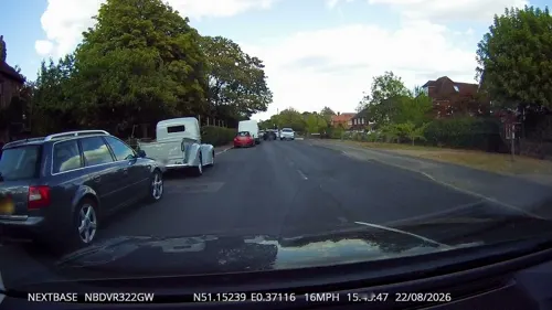
- Street-level photo, tallguy, CC BY-SA 4.0
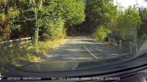
- Street-level photo, tallguy, CC BY-SA 4.0
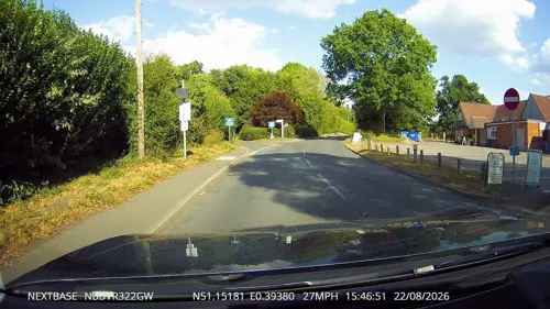
- Street-level photo, tallguy, CC BY-SA 4.0
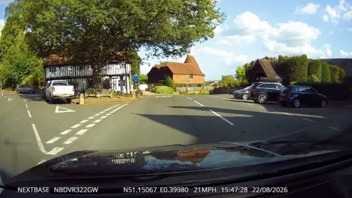
- Street-level photo, paulbiv, CC BY-SA 4.0
- Street-level photo, tallguy, CC BY-SA 4.0
- Street-level photo, tallguy, CC BY-SA 4.0
- Street-level photo, tallguy, CC BY-SA 4.0
Page built November 10, 2026. Spotted a mistake? Tell us or suggest a place.