


Camblesforth, United Kingdom
Camblesforth is a town of 2,056 people in England, United Kingdom.
Why visit Camblesforth
Townapedia lists 2 museums and landmarks, 2 parks and trails and 8 places to eat in and around town.
Highlights include Carlton Towers and Drax Golf Club.
Weather in Camblesforth
Forecast from MET Norway (CC BY 4.0). Full forecast
About Camblesforth
Camblesforth is a village and civil parish in the county of North Yorkshire, England. According to the 2001 Census, the civil parish had a population of 1,526, increasing to 1,568 at the 2011 Census. The village is 5 miles (8 km) south of Selby and 7 miles (11 km) west of Goole.
From the Wikipedia article Camblesforth (this version), under CC BY-SA 4.0.
Museums and landmarks2

Parks, trails and playgrounds2

Restaurants and cafes8


Churches and places of worship9
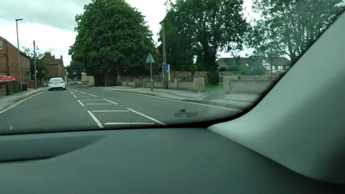
Saint Mary's Catholic Church
Church · Roman Catholic · 1.1 mi
The Roman Catholic Parish Church of Saint Mary’s Carlton and Selby
Station Road, Goole
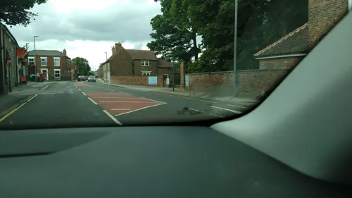
Church of St Mary
Church · 1.2 mi
Church building in Carlton, Selby, North Yorkshire, England, UK

Church of St Mary the Virgin
Church · 3.3 mi
Grade I listed church in Hemingbrough, North Yorkshire, England, UK

Church of St Peter and St Paul
Church · 1.8 mi
Church in Drax, North Yorkshire, England, UK

Barlow Church
Church · 1.8 mi
Church building in Barlow, Selby, North Yorkshire, England, UK
St Helen's Church
Church · 3.0 mi
Church building in Barmby on the Marsh, East Riding of Yorkshire, England, UK
History
The place-name 'Camblesforth' is first attested in the Domesday Book of 1086, where it appears as Camelesforde and Canbesford. The first element may be a river name corresponding to the Welsh camlais meaning 'crooked stream', so the name may mean 'ford on a crooked stream'.
Merleswein the Sheriff was Lord of the manor of Camblesforth in 1066. Ralph Paynell became Lord of the manor in 1086 after Camblesforth suffered the Harrowing of the North by William the Conqueror to subjugate Northern England.
Read more of the history
In 1224, the Lordship passed through the Paynell family to the de Brus family. Subsequently, Sibil de Beaulieu (d.1301) daughter of Laderina de Brus, Lady of Camblesforth and granddaughter of Peter de Brus, Lord of Skelton married Sir Miles Stapleton (d.1314). The Lordship stayed in the Stapleton family until Henry Edwarde Paine acquired the Lordship from Henry Stapleton, 9th Lord Beaumont in 1893. The Lordship was in the hands of Mr. Paine's trustees from his death in 1917 to 1956 when it was acquired by Alma Grossman. Honorable F. Richard Gregg, OStJ, whose ancestors were related to the Brus and Stapleton family through marriage, became the 32nd Lord of Camblesforth when he acquired the Lordship from Ms. Grossman's trustees in 2015. He was granted a coat of arms sanctioned by Queen Elizabeth II in 2016 (College of Arms, vol.179, pg. 244). Richard served as an officer in the CAP and also received a Colonel commission from the Governor of KY in 2023. The current heir to the Lordship is his son, Honorable Benjamin R. Gregg.
Camblesforth Hall, the seat of Sir Charles Blois, Bart., is the oldest standing structure in Camblesforth. The Grade I hall was built c. 1690–1700.
The village was the centre of national public and media attention in July 2004, after the bodies of two 27-year-old twin sisters (Claire and Diane Sanderson) were found at a flat on Millfield Drive. It was the home of Claire Sanderson, who shared the flat with her fiancé Mark Hobson. On 18 April 2005, at Leeds Crown Court, Hobson admitted both of the murders as well as those of James and Joan Britton, a couple in their eighties who were found beaten to death in the village of Strensall near York. Hobson, a binman who had a history of violence, drug abuse and alcoholism, was sentenced to life imprisonment the following month with a recommendation that he should never be released.
During the 2012 Summer Olympics Camblesforth was a relay point for the Olympic Torch.
From the History section of Camblesforth on Wikipedia, under CC BY-SA 4.0.
Notable people from Camblesforth
- Rob WhiteBritish Formula One engineer
Born in Camblesforth, according to Wikidata (CC0). Each name links to its Wikipedia article.
Shopping2
Gas and EV charging1
Schools, colleges and libraries3
Map of Camblesforth
27 places. The map loads OpenStreetMap tiles when you open it.
Getting there and nearby towns
Leeds Bradford Airport (LBA) is the nearest airport with scheduled flights listed in OpenStreetMap, 28 miles away.
- Hemingbrough 3 mi northeast, about 5 min by car
- Selby 4 mi northwest, about 7 min by car
- Goole 6 mi east, about 10 min by car
- Thorne 8 mi south, about 13 min by car
- Riccall 8 mi north, about 12 min by car
- Monk Fryston 9 mi west, about 15 min by car
- Knottingley 10 mi west, about 16 min by car
- South Milford 10 mi west, about 16 min by car
- Campsall 10 mi southwest, about 16 min by car
- Pontefract 12 mi west, about 20 min by car
Drive times are estimates from straight-line distance, not routes.
Towns near Camblesforth


Keep exploring
Local news
Headlines from INDB.
Reviews, tips and questions
Loading what members have shared...
Sources and licences
- GeoNames (CC BY 4.0): population, coordinates, regions and time zone
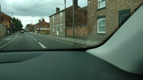
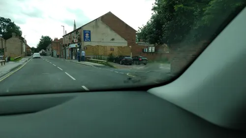
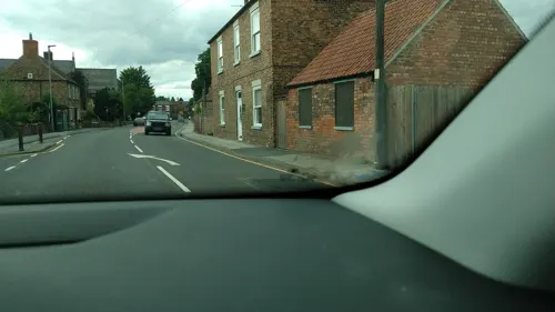
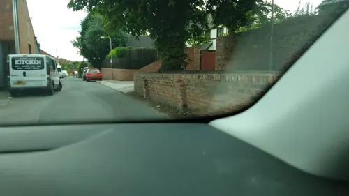
- Mapillary (see each image): photos
- OpenStreetMap contributors (ODbL 1.0): places, airports, map data
- Wikidata (CC0 1.0): elevation, founding date, time zone, website, landmarks and historic places
- Wikimedia Commons (see each image): photos
- Wikipedia (CC BY-SA 4.0): overview and history text
Photo credits
- Camblesforth, Brigg Lane, Gordon Kneale Brooke, CC BY-SA 2.0
- Camblesforth Hall South, Mr Interest, CC BY-SA 4.0
- St Mary's Church, Hemingbrough, Paul Glazzard, CC BY-SA 2.0
- St Peter and St Paul Drax, Chemical Engineer, CC BY-SA 3.0
- Carlton Towers, Drew Bates, CC BY 2.0
- Street-level photo, steverobbo, CC BY-SA 4.0
- Street-level photo, steverobbo, CC BY-SA 4.0
- Street-level photo, steverobbo, CC BY-SA 4.0
- Street-level photo, steverobbo, CC BY-SA 4.0
- Street-level photo, steverobbo, CC BY-SA 4.0
- Street-level photo, lamaar639, CC BY-SA 4.0
- Street-level photo, steverobbo, CC BY-SA 4.0
- Street-level photo, lamaar639, CC BY-SA 4.0
- Street-level photo, steverobbo, CC BY-SA 4.0
- Street-level photo, steverobbo, CC BY-SA 4.0
- Street-level photo, steverobbo, CC BY-SA 4.0
- Street-level photo, steverobbo, CC BY-SA 4.0
- Street-level photo, steverobbo, CC BY-SA 4.0
- Street-level photo, steverobbo, CC BY-SA 4.0
Page built November 10, 2026. Spotted a mistake? Tell us or suggest a place.