


Castlereagh, United Kingdom
Castlereagh is a town of 56,679 people in Northern Ireland, United Kingdom.
Why visit Castlereagh
Townapedia lists 24 museums and landmarks, 25 parks and trails, 113 places to eat and 15 attractions in and around town.
Highlights include Albert Bridge, Belfast, Brian Friel Theatre, Belfast Cenotaph and HM Prison Crumlin Road.
Weather in Castlereagh
Forecast from MET Norway (CC BY 4.0). Full forecast
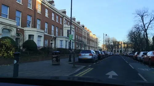
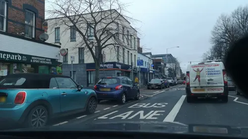
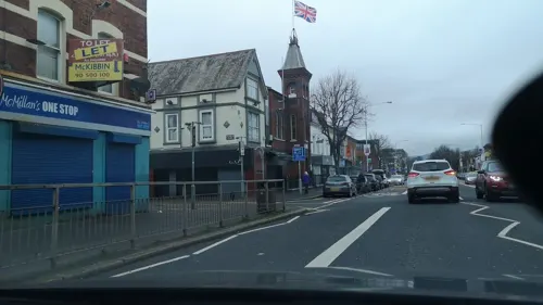
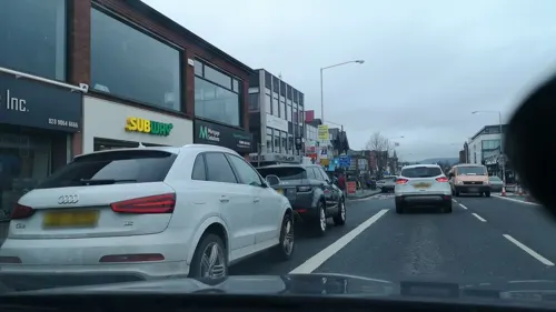
Photos of Castlereagh


Things to do15

Albert Bridge, Belfast
Bridge · 1.9 mi
Bridge in Belfast, County Antrim, Northern Ireland
Brian Friel Theatre
Cinema and theater · 2.1 mi
Studio theatre at Queen's University, Belfast, Northern Ireland

Dargan Bridge, Belfast
Bridge · 2.5 mi
Railway bridge in Belfast, Northern Ireland

Governor's Bridge, Belfast
Bridge · 1.9 mi
Irish roadbridge over the River Lagan in south Belfast

Grand Opera House
Cinema and theater · 2.5 mi
Opera house in Belfast, County Antrim, Northern Ireland

King's Bridge
Bridge · 1.8 mi
Bridge in Belfast, County Antrim, Northern Ireland


Lyric Theatre
Cinema and theater · 2.0 mi
Theatre in Belfast, Northern Ireland


Queen's Bridge
Bridge · 2.3 mi
Bridge in Belfast, County Antrim, Northern Ireland

3 more on the map.
Museums and landmarks24

Belfast Cenotaph
Monument and historic site · 2.4 mi
War memorial in Belfast, Northern Ireland

HM Prison Crumlin Road
Museum · 3.4 mi
Prison in Belfast, County Antrim, Northern Ireland


Northern Ireland War Memorial
Museum · 2.6 mi
War memorial in Belfast, Northern Ireland, United Kingdom

Ravenhill Stadium
Monument and historic site · 0.8 mi
Rugby union stadium in Belfast, Northern Ireland

The Linen Hall
Museum · 2.5 mi
Subscription library and museum in Belfast, Northern Ireland, United Kingdom

The Naughton Gallery at Queen's
Museum · 2.1 mi
Art gallery, art museum in Belfast, Northern Ireland

Titanic Memorial
Monument and historic site · 2.4 mi
Memorial in Belfast, County Antrim, Northern Ireland

Ulster Museum
Museum · 2.1 mi
Part of the National Museum of Northern Ireland


12 more on the map.
Parks, trails and playgrounds25


Bog Meadows
Park · 3.3 mi
Nature reserve in Belfast, Northern Ireland, UK


13 more on the map.
Restaurants and cafes113
Little Wing
Restaurant · Pizza · 1.3 mi
332-338 Ormeau Road, Belfast
Mo-Th 12:00-21:30; Fr-Sa 12:00-22:00; Su 12:00-21:00

The Lott
Cafe · Sandwich, Coffee Shop · 0.6 mi
7 Elesington Court, Belfast
Mo-Fr 07:00-14:30; Sa-Su off
Costa Coffee
Cafe · Coffee Shop · 1.0 mi
Drumkeen Court, Belfast
Mo-We, Sa 08:00-18:00; Th 08:00-21:00; Fr 08:00-20:00; Su 08:00-18:00


101 more on the map.
Churches and places of worship52
Newtownbreda Presbyterian Church (St John's)
Church · Presbyterian · 1.2 mi
374-378 Ormeau Road, Belfast
Shopping19
Gas and EV charging10
Schools, colleges and libraries31
Aquinas Diocesan Grammar School
School · 0.9 mi
518 Ravenhill Road, Belfast
Healthcare23
Map of Castlereagh
250 places. The map loads OpenStreetMap tiles when you open it.
Getting there and nearby towns
George Best Belfast City Airport (BHD) is the nearest airport with scheduled flights listed in OpenStreetMap, 3 miles away.
- Belfast 2 mi northwest, about 4 min by car
- Dundonald 4 mi east, about 6 min by car
- Holywood 5 mi northeast, about 8 min by car
- Newtownabbey 6 mi north, about 10 min by car
- Lisburn 7 mi southwest, about 11 min by car
- Newtownards 8 mi east, about 13 min by car
- Downpatrick 18 mi south, about 29 min by car
- Larne 19 mi north, about 31 min by car
- Portadown 25 mi southwest, about 40 min by car
- Newry 33 mi southwest, about 53 min by car
Drive times are estimates from straight-line distance, not routes.
Towns near Castlereagh


Keep exploring
Local news
Headlines from INDB.
Reviews, tips and questions
Loading what members have shared...
Sources and licences
- GeoNames (CC BY 4.0): population, coordinates, regions and time zone
- Mapillary (see each image): photos
- OpenStreetMap contributors (ODbL 1.0): places, airports, map data
- Wikidata (CC0 1.0): elevation, founding date, time zone, website, landmarks and historic places
- Wikimedia Commons (see each image): photos
Photo credits
- Albert Bridge, Belfast, Paul McIlroy, CC BY-SA 2.0
- Belfast (074), October 2009, Ardfern, CC BY-SA 3.0
- Governor's Bridge, Belfast, Simon Cobb, CC0
- Kings Bridge, Stranmillis, Slowtech2000, CC BY-SA 4.0
- Belfast (473), October 2009, Ardfern, CC BY-SA 3.0
- Belfast (118), October 2009, Ardfern, CC BY-SA 3.0
- Belfast (141), October 2009, Ardfern, CC BY-SA 3.0
- City hall (8079018781), psyberartist, CC BY 2.0
- CrumlinRoad.Gaol, Agadant, CC BY-SA 3.0
- Irish Republican History Museum - interior, Mx. Granger, CC0
- Northern Ireland War Memorial, Belfast, Boselaphus, CC BY-SA 4.0
- Linen Hall Library Belfast, Man vyi, Public domain
- Titanic Memorial City Hall Belfast Irland@20160528, Hajotthu, CC BY-SA 3.0
- Ormeau Park, Simon Cobb, CC0
- The Duncairn, Banfiduncairn, CC BY-SA 4.0
- Belfast (016), October 2009, Ardfern, CC BY-SA 3.0
- St Mary's Church, Belfast, February 2011 (01), Ardfern, CC BY-SA 3.0
- St Thomas' Church, Belfast, Simon Cobb, CC0
- Riddel Hall, Belfast (45087339844), Tom Parnell from Scottish Borders, Scotland, CC BY-SA 2.0
- Lanyon Building, Queen's University, Belfast, Nick Birse, CC BY-SA 4.0
- Ravenhill new Stand, Aaronsc at English Wikipedia, Public domain
- Forster Green Hospital, Unknown author Unknown author, Public domain
- NG Square, The Naughton Gallery at Queen's, CC BY 4.0
- Train Crossing The The Lagan Railway Bridge In Belfast - Northern Ireland - panoramio, William Murphy, CC BY-SA 3.0
- Piece of the Boyne Obelisk, Mx. Granger, CC0
- Museum of Orange Heritage 1, Mx. Granger, CC0
- Museum of Orange Heritage 2, Mx. Granger, CC0
- Grand Opera House, Belfast, February 2013 (03), Ardfern, CC BY-SA 3.0
- Ormeau Bridge, Draqueeb, CC BY-SA 4.0
- Rice carrier - Ulster museum, Bazonka, CC BY-SA 3.0
- Street-level photo, jonnymccullagh, CC BY-SA 4.0
- Street-level photo, jonnymccullagh, CC BY-SA 4.0
- Street-level photo, username23, CC BY-SA 4.0
- Street-level photo, jonnymccullagh, CC BY-SA 4.0
- Street-level photo, jonnymccullagh, CC BY-SA 4.0
- Street-level photo, jonnymccullagh, CC BY-SA 4.0
- Street-level photo, jonnymccullagh, CC BY-SA 4.0
- Street-level photo, jonnymccullagh, CC BY-SA 4.0
- Street-level photo, jonnymccullagh, CC BY-SA 4.0
- Street-level photo, username23, CC BY-SA 4.0
- Street-level photo, jonnymccullagh, CC BY-SA 4.0
- Street-level photo, mcda, CC BY-SA 4.0
- Street-level photo, gingercatni, CC BY-SA 4.0
- Street-level photo, jonnymccullagh, CC BY-SA 4.0
- Street-level photo, jonnymccullagh, CC BY-SA 4.0
- Street-level photo, jonnymccullagh, CC BY-SA 4.0
- Street-level photo, jonnymccullagh, CC BY-SA 4.0
- Street-level photo, jonnymccullagh, CC BY-SA 4.0
- Street-level photo, username23, CC BY-SA 4.0


Page built November 10, 2026. Spotted a mistake? Tell us or suggest a place.