


Why visit Wormley
Townapedia lists 3 museums and landmarks, 4 parks and trails, 6 places to eat and 2 attractions in and around town.
Highlights include Oakhurst Cottage, Elstead Group of Commons and Rodborough Common, Surrey.
Weather in Wormley
Forecast from MET Norway (CC BY 4.0). Full forecast
About Wormley
Wormley is a village in the civil parish of Witley and Milford, in the Waverley district, in Surrey, England, around Witley station, off the A283 Petworth Road about 5 km (3.1 mi) SSW of Godalming.
From the Wikipedia article Wormley, Surrey (this version), under CC BY-SA 4.0.
Photos of Wormley


Things to do2

Museums and landmarks3

Oakhurst Cottage
Museum · 1.0 mi
A Grade II listed building located in Hambledon, Surrey, in the United Kingdom

Parks, trails and playgrounds4

Rodborough Common, Surrey
Park · 2.3 mi
Local Nature Reserve in Surrey, England


Restaurants and cafes6

Hambledon Village Shop
Cafe · Coffee Shop, Sandwich · 0.9 mi
The Cricket Green, Hambledon

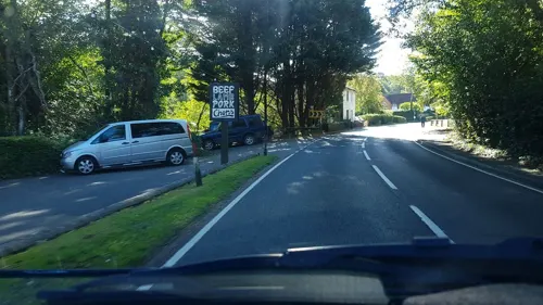
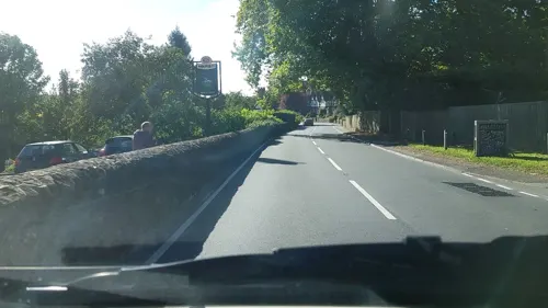


History
Wormley developed primarily as a result of the construction in the 19th century of Witley station, on the Portsmouth Direct line. King Edward's School, Witley once had its own station platform.
Cooper & Sons Ltd owned the Combelane walking stick factory; this was replaced by houses with small gardens and a light industrial estate. The Institute of Oceanographic Sciences Deacon Laboratory was here from 1952 to 1995, housed in the former Admiralty Signals Establishment building on Brook Road. The only public house, the Wood Pigeon, closed in 2007.
From the History section of Wormley, Surrey on Wikipedia, under CC BY-SA 4.0.
Churches and places of worship5
Schools, colleges and libraries5
Map of Wormley
25 places. The map loads OpenStreetMap tiles when you open it.
Getting there and nearby towns
Farnborough Airport (FAB) is the nearest airport with scheduled flights listed in OpenStreetMap, 11 miles away.
- Godalming 4 mi north, about 6 min by car
- Haslemere 4 mi southwest, about 7 min by car
- Churt 6 mi west, about 9 min by car
- Cranleigh 7 mi east, about 11 min by car
- Chilworth 7 mi northeast, about 12 min by car
- Guildford 8 mi northeast, about 12 min by car
- Normandy 8 mi north, about 14 min by car
- Farnham 9 mi northwest, about 14 min by car
- Aldershot 9 mi northwest, about 15 min by car
- Bordon 9 mi west, about 15 min by car
Drive times are estimates from straight-line distance, not routes.
Towns near Wormley


Keep exploring
Local news
Headlines from INDB.
Reviews, tips and questions
Loading what members have shared...
Sources and licences
- GeoNames (CC BY 4.0): population, coordinates, regions and time zone
- Mapillary (see each image): photos
- OpenStreetMap contributors (ODbL 1.0): places, airports, map data
- Wikidata (CC0 1.0): elevation, founding date, time zone, website, landmarks and historic places
- Wikimedia Commons (see each image): photos
- Wikipedia (CC BY-SA 4.0): overview and history text
Photo credits
- All Saints Church, Grayswood Road, Grayswood (June 2015) (8), Hassocks5489, CC0
- Hambledon Church Surrey in the snow, Mdhsmith, CC BY-SA 3.0
- Hambledon Church, Colin Smith, CC BY-SA 2.0
- All Saints Church, Witley 05, Simon Burchell, CC BY-SA 4.0
- The Star, Petworth Road, Witley, Surrey - September 2025 - 01, Mertbiol, CC0
- St Peter's church, Hambledon, Surrey, Grayswoodsurrey, CC BY-SA 4.0
- The Warburg Science School (centre) and Queen Mary House (left), King Edward's School, Witley, Surrey - September 2025, Mertbiol, CC0
- English & Drama building, King Edward's School, Witley, Surrey - September 2025 - 01, Mertbiol, CC0
- English & Drama building, King Edward's School, Witley, Surrey - September 2025 - 02, Mertbiol, CC0
- The Warburg Science School, King Edward's School, Witley, Surrey - September 2025, Mertbiol, CC0
- Entrance to Queen Mary House, King Edward's School, Witley, Surrey - September 2025, Mertbiol, CC0
- Library, King Edward's School, Witley, Surrey - September 2025 - 05, Mertbiol, CC0
- Library, King Edward's School, Witley, Surrey - September 2025 - 03, Mertbiol, CC0
- Library, King Edward's School, Witley, Surrey - September 2025 - 01, Mertbiol, CC0
- Library, King Edward's School, Witley, Surrey - September 2025 - 02, Mertbiol, CC0
- Library, King Edward's School, Witley, Surrey - September 2025 - 04, Mertbiol, CC0
- Coffee shop, King Edward's School, Witley, Surrey - September 2025, Mertbiol, CC0
- Queen Mary House, girl's dormitory, King Edward's School, Witley, founded 1553 - panoramio, David Broad, CC BY 3.0
- Main visitors' entrance, King Edward's School, Witley, Surrey - September 2025, Mertbiol, CC0
- Reception desk, King Edward's School, Witley, Surrey - September 2025, Mertbiol, CC0
- Street-level photo, richardc, CC BY-SA 4.0
- Street-level photo, richardc, CC BY-SA 4.0
- Street-level photo, richardc, CC BY-SA 4.0


Page built November 10, 2026. Spotted a mistake? Tell us or suggest a place.