


Cleobury Mortimer, United Kingdom
Cleobury Mortimer is a town of 2,711 people in England, United Kingdom.
Why visit Cleobury Mortimer
Townapedia lists 4 museums and landmarks, 4 parks and trails, 15 places to eat and 1 place to stay in and around town.
Highlights include Catherton Common.
Weather in Cleobury Mortimer
Forecast from MET Norway (CC BY 4.0). Full forecast
About Cleobury Mortimer
Cleobury Mortimer (, KLIH-bree) is a market town and civil parish in southeastern Shropshire, England, which had a population of 3,036 at the 2011 census. It was granted a market charter by King Henry III in 1226.
From the Wikipedia article Cleobury Mortimer (this version), under CC BY-SA 4.0.
Travel tips from other travellers: Cleobury Mortimer on Wikivoyage (CC BY-SA 4.0).
Museums and landmarks4

Parks, trails and playgrounds4



Restaurants and cafes15
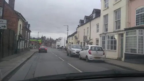
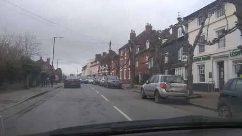
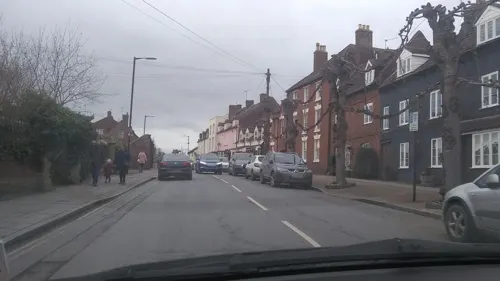

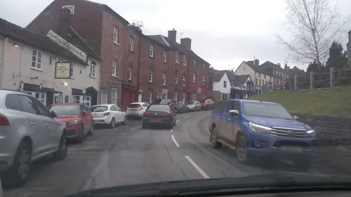
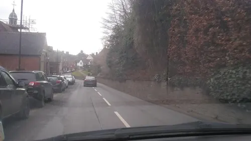
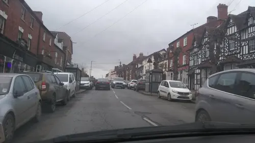
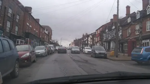
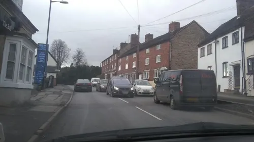


3 more on the map.
Where to stay1

History
The name is believed to derive from the contraction of the Old English clifu meaning a steep place and bury meaning fortified settlement. Mortimer comes from Ranulph de Mortimer of Normandy to whom the land was granted after the Norman Conquest. He founded the Mortimer dynasty of marcher lords who held power in the Welsh Marches throughout the Middle Ages and were closely involved with power struggles with successive English monarchs and other powerful Lords. Cleobury has a significant entry in the Domesday Book, and the vicinity was the location of at least two castles. Cleobury Castle, which was situated near St Mary's Church, was destroyed in 1155 and only earthworks remain today. Toot Castle was situated on the other side of the River Rea from the town.
Read more of the history
The central section of the town was laid out in burgage plots, the lines of which are still evident. With the decline of the marcher lords, and peace along the Welsh border, Cleobury's importance declined during the Middle Ages, leaving it as an undistinguished market town, albeit with a dependent hinterland. In the 16th century, exploitation of local iron ores became important, and when Elizabeth I granted the town to Robert Dudley, Earl of Leicester, his familiarity with modern ironworking technology led to the establishment of an important iron industry, with at least two furnaces (in which iron ore was converted to pig iron) and two water-powered forges (in which pig iron was converted to wrought iron). For a while, Cleobury's iron industry was an important part of the general industrialisation in Shropshire (sometimes claimed as the seat of the Industrial Revolution), and iron from Cleobury's forges was valued as a high-quality material. However, poor transport connections led to the decline of Cleobury's iron industry in the early 19th century, and soon the town reverted to being an agricultural hub, although a large water-powered paper mill survived on the River Rea until a catastrophic fire towards the end of the century. By 1900, the town was an important civic centre, with a railway station, union workhouse, magistrates' court, police station, agricultural college, infants' school and primary school. Since the start of the twentieth century, Cleobury lost many of these facilities, although its population has grown. It thus exemplifies a common pattern for rural settlements, where centralisation and the rise of road transport have seen a decline in the local provision of services, despite a rising population.
Two literary figures have strong connections with Cleobury: William Langland and Simon Evans. Langland, a contemporary of Geoffrey Chaucer, is believed to have been born in the vicinity in the 14th century, and is commemorated in the very fine and intricate (Victorian) East Window of St Mary's Church, as well as in a local road name. Simon Evans is a 20th-century writer, who fought throughout the First World War, and suffered from being gassed. He had been a postman on Merseyside before the war, and after the war sought a rural postal round, to soothe both nerves and body. Cleobury suited him well; here he blossomed, took a correspondence course in English, and became a successful writer and radio broadcaster in the 1930s. Heath Cranton published five of his books, and he married 'Auntie Doris' (Aldridge), a radio performer, but his new life was cut short in 1940, when the effects of the gassing finally caught up with him. His legacy is visible in the naming of a local street, a plaque on the old Post Office, and a dedicated local walk—'The Simon Evans Way'—which the CM Footpath Association has created in recent years.
From the History section of Cleobury Mortimer on Wikipedia, under CC BY-SA 4.0.
More about Cleobury Mortimer
Geography
The River Rea runs to the east of the town, whilst through the town itself is the Pudding (or Burrell) Brook, which flows from west to east before meeting the Rea. The land gradually rises from 110 metres above sea level near to the river, to 150 metres in the west of the town. The Clee Hills, the highest hills in Shropshire, are nearby and the Wyre Forest lies between the town and Bewdley. The border with Worcestershire is a mile to the south.
The A4117 Kidderminster to Ludlow road runs through the centre of the town and crosses the River Rea at New Bridge. The B4363 runs between Cleobury Mortimer (its junction with the A4117 being immediately east of New Bridge) and Bridgnorth. The county town, Shrewsbury, is some 33 miles (53 km) distant by road, making Cleobury the most distant town from Shrewsbury in the county.
From the Wikipedia article Cleobury Mortimer, under CC BY-SA 4.0.
Notable people from Cleobury Mortimer
- Patten WilsonBritish illustrator (1869-1934)
Born in Cleobury Mortimer, according to Wikidata (CC0). Each name links to its Wikipedia article.
Churches and places of worship6
Shopping1
Gas and EV charging1
Schools, colleges and libraries3
Healthcare1
Map of Cleobury Mortimer
36 places. The map loads OpenStreetMap tiles when you open it.
Getting there and nearby towns
Birmingham Airport (BHX) is the nearest airport with scheduled flights listed in OpenStreetMap, 32 miles away.
- Highley 6 mi northeast, about 10 min by car
- Alveley 8 mi northeast, about 12 min by car
- Stourport-on-Severn 9 mi east, about 14 min by car
- Kidderminster 10 mi east, about 16 min by car
- Ludlow 10 mi west, about 16 min by car
- Bridgnorth 11 mi north, about 18 min by car
- Hartlebury 11 mi east, about 18 min by car
- Stourbridge 15 mi east, about 25 min by car
- Kingswinford 16 mi northeast, about 25 min by car
- Worcester 17 mi southeast, about 28 min by car
Drive times are estimates from straight-line distance, not routes.
Towns near Cleobury Mortimer


Keep exploring
Local news
Headlines from INDB.
Reviews, tips and questions
Loading what members have shared...
Sources and licences
- GeoNames (CC BY 4.0): population, coordinates, regions and time zone
- Mapillary (see each image): photos
- OpenStreetMap contributors (ODbL 1.0): places, airports, map data
- Wikidata (CC0 1.0): elevation, founding date, time zone, website, landmarks and historic places
- Wikimedia Commons (see each image): photos
- Wikipedia (CC BY-SA 4.0): overview and history text
Photo credits
- Talbot Hotel, Cleobury Mortimer, Gordon Griffiths, CC BY-SA 2.0
- Neen Savage Church, Gammock, CC BY-SA 4.0
- St Mary's Church, Cleobury Mortimer, Jeremy Bolwell, CC BY-SA 2.0
- King's Arms, Cleobury Mortimer, N Chadwick, CC BY-SA 2.0
- Street-level photo, uk360, CC BY-SA 4.0
- Street-level photo, uk360, CC BY-SA 4.0
- Street-level photo, uk360, CC BY-SA 4.0
- Street-level photo, uk360, CC BY-SA 4.0
- Street-level photo, uk360, CC BY-SA 4.0
- Street-level photo, uk360, CC BY-SA 4.0
- Street-level photo, uk360, CC BY-SA 4.0
- Street-level photo, uk360, CC BY-SA 4.0
- Street-level photo, uk360, CC BY-SA 4.0
- Street-level photo, uk360, CC BY-SA 4.0
- Street-level photo, uk360, CC BY-SA 4.0
- Street-level photo, uk360, CC BY-SA 4.0
- Street-level photo, uk360, CC BY-SA 4.0
- Street-level photo, uk360, CC BY-SA 4.0
- Street-level photo, uk360, CC BY-SA 4.0
- Street-level photo, uk360, CC BY-SA 4.0
- Street-level photo, uk360, CC BY-SA 4.0
- Street-level photo, uk360, CC BY-SA 4.0
- Street-level photo, uk360, CC BY-SA 4.0
Page built November 10, 2026. Spotted a mistake? Tell us or suggest a place.