
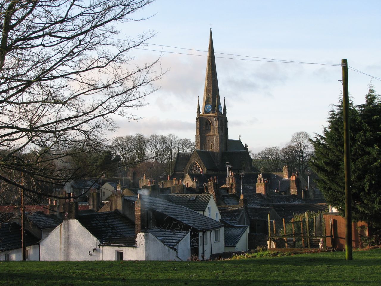


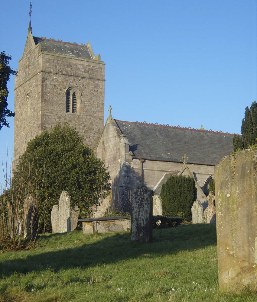
Cockermouth, United Kingdom
Cockermouth is a town of 9,146 people in England, United Kingdom.
Why visit Cockermouth
Townapedia lists 16 museums and landmarks, 5 parks and trails, 60 places to eat, 16 places to stay and 3 attractions in and around town.
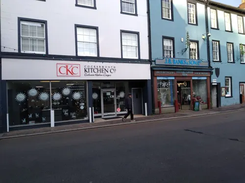
Highlights include The Kirkgate Centre, Slatefell, Wordworth House and JB Banks Ironmongers.
Weather in Cockermouth
Forecast from MET Norway (CC BY 4.0). Full forecast
About Cockermouth
Cockermouth is a market town and civil parish in the Cumberland unitary authority area of Cumbria, England. The name refers to the town's position by the confluence of the River Cocker into the River Derwent. At the 2021 census, the built up area had a population of 8,860.
From the Wikipedia article Cockermouth (this version), under CC BY-SA 4.0.
Travel tips from other travellers: Cockermouth on Wikivoyage (CC BY-SA 4.0).
Things to do3


Museums and landmarks16

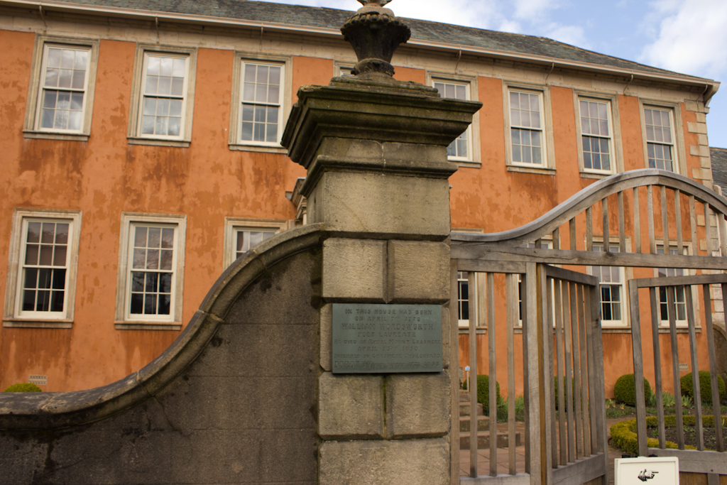
Wordsworth House and Garden
Museum
Grade I listed historic house museum in Cockermouth, Cumberland, Cumbria , England, UK

Cockermouth Castle
Monument and historic site
Castlegate, Cockermouth


Roman forts at Papcastle and part of the vicus
Monument and historic site · 1.1 mi
Fort in Papcastle, Allerdale, England, UK
Dinosaur Lamppost
Monument and historic site
Ivoy covered lamp post shamped like a dinosaur
4 more on the map.
Parks, trails and playgrounds5



Restaurants and cafes60

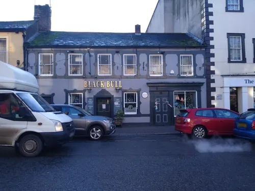
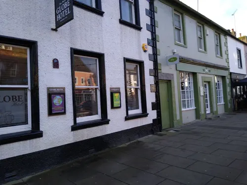
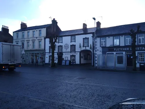
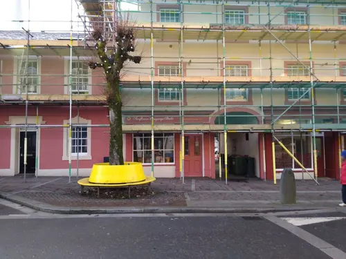
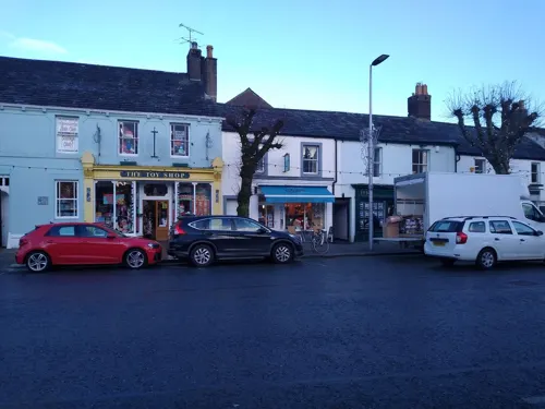
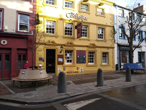
Castle Bar
Bar and pub
14 Market Place, Cockermouth
Mo-Th 16:00-22:00; Fr 16:00-23:00; Sa 13:00-23:00; Su 13:00-21:00
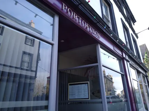
41 Market Place
Restaurant · British
41 Market Place, Cockermouth
Mo,Tu,Fr,Sa 17:30-21:30; Su 12:00-15:00
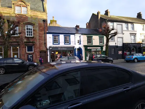
Bamboo
Restaurant · Chinese
16 Market Place, Cockermouth
Tu-Su 17:00-22:00


48 more on the map.
History
The Romans built a fort at Derventio Carvetiorum, now the adjoining village of Papcastle, to protect the river crossing on a major route for troops heading towards Hadrian's Wall.
The main town developed under the Normans who, after occupying the former Roman fort, built Cockermouth Castle closer to the river crossing; little remains today of the castle thanks to the efforts of Robert the Bruce. The market town developed its distinctive medieval layout, of a broad main street of burgesses' houses, each with a burgage plot stretching to a "back lane": the Derwent bank on the north and Back Lane (now South Street), on the south. The layout is largely preserved, leading the British Council for Archaeology to say in 1965 that it was "worthy of special care in preservation and development."
Although Carlisle was considered the county town of Cumberland, the county's assizes sometimes sat at Cockermouth, and the county's quarter sessions were held alternately at Carlisle and Cockermouth. Prior to the Reform Act 1832, Cockermouth was the usual venue for electing knights of the shire (MPs for the Cumberland constituency). Cockermouth borough was also a parliamentary borough from 1641 to 1918, returning two MPs until 1868 and one thereafter.
Read more of the history
The town market pre-dates 1221, when the market day was changed from Saturday to Monday. Market charters were granted in 1221 and 1227 by King Henry III, although this does not preclude the much earlier existence of a market in the town. In recent times, the trading farmers market now only occurs seasonally, replaced by weekend continental and craft markets.
In the days when opening hours of public houses were restricted, the fact that the pubs in Cockermouth could open all day on market days made the town a popular destination for drinkers, especially on Bank Holiday Mondays. The Market Bell remains as a reminder of this period (inset into a wall opposite the Allerdale Hotel), while the 1761 and Castle pub (which spans three floors) have been renovated to reveal medieval stonework and 16th and 18th-century features.
Cockermouth suffered badly in the nationwide floods of 19 and 20 November 2009. Over 200 people needed to be rescued, with helicopters from RAF Valley, RAF Boulmer and RAF Leconfield retrieving about 50 and the remainder being rescued by boats, including those of the RNLI. Water levels in the town centre were reported to be as high as 2.5 metres (8 ft 2 in) and flowing at a rate of 25 knots. Many historic buildings on and adjacent to Main Street sustained severe damage, as did a number of bridges in and around the town. Recovery from the devastation was slow, with residents placed in temporary accommodation and some businesses temporarily relocated to Mitchells auction mart. By the summer of 2011, most of the damage had been repaired and buildings re-occupied, though some remained empty or boarded up.
Flooding occurred again in 2015, when the River Derwent burst its banks on 5 December, with several hundred homes and businesses affected.
The rear part of the Old Courthouse collapsed into the River Cocker in October 2023.
Much of the centre of the town is of medieval origin, substantially rebuilt in Georgian style with Victorian infill. The tree-lined Kirkgate offers examples of unspoilt classical late 17th and 18th-century terraced housing, cobbled paving and curving lanes which run steeply down to the River Cocker. Most of the buildings are of traditional slate and stone construction with thick walls and green Skiddaw slate roofs.
Many of the facades lining the streets are frontages for historic housing in alleyways and lanes (often maintaining medieval street patterns) to the rear. There are examples of Georgian residences near the Market Place, St. Helens Street, at the bottom of Castlegate Drive and Kirkgate.
Cockermouth may have been the first town in Britain to have piloted electric lighting. In 1881, six electric lamps were set up to light the town, together with gas oil lamps in the back streets. The electrical service was intermittent, so the town returned to gas lighting.
In 1964, Cockermouth was named one of 51 Gem Towns in the UK, by the Council for British Archaeology. This recognised the importance of the historic buildings and the need for effective traffic management and urban development.
From the History section of Cockermouth on Wikipedia, under CC BY-SA 4.0.
More about Cockermouth
Geography
Cockermouth owes its existence to the confluence of the rivers Cocker and Derwent, historically being the lowest point at which the resultant fast flowing river powered by the Lake District could be bridged. Cockermouth is situated a few minutes' travelling distance from lakes such as Buttermere, Crummock Water, Loweswater and Bassenthwaite.
Cockermouth has a temperate climate that is influenced by the Irish Sea and its low-lying elevation; it receives slightly below average rainfall compared with the UK average. Temperatures are also about average compared with other parts of the UK. The nearest weather station, for which online records are available, is Aspatria, about 7 miles (11 km) north-north-east of the town centre.
The hottest temperatures recorded in the area were 31.3 °C (88.3 °F) at Lorton on 19 July 2006 and 31.1 °C (88.0 °F) at Aspatria during August 1990, with the coldest being −13.9 °C (7.0 °F) during January 1982 at Aspatria and −13.8 °C (7.2 °F) at Lorton on 8 December 2010. West Cumbria gets relatively little snow in comparison with the Lake District and Eastern Cumbria, owing to its proximity to the Irish Sea and its low height above sea level.
Economy
Built as a market town, close to a fast-flowing river in a farming area with a tradition of cloth weaving, Cockermouth became a hub for spinning and weaving. The town had a fulling mill by 1156 and by the mid-19th century there were over forty industrial sites; mills (wool, linen, cotton), hat factories, tanneries and smaller concerns making chairs, churns, mangle rollers, nails and farm machinery.
With the need for steam power, industrialisation declined, but the coming of the railway and the Victorian holiday, together with the power of Wordsworth's publications, meant that Cockermouth became an early inland tourist centre. The local economy is still reliant today on farming and tourism, with light industrial facilities servicing local needs. Industrialisation and hence work has moved to the west coast around Carlisle and Workington, and includes servicing the nuclear facilities at Sellafield.
Road haulier Lawsons Haulage Limited is a major employer in the town.
Education
Cockermouth School is a comprehensive secondary school, with around 1,400 pupils including 310 sixth formers. It won the north of England regional championship in the Kids' Lit Quiz 2009, coming first with 92 points.
In 2023, Whitehaven's Mayfield School opened its sixth form campus to children with special educational needs and disabilities. The site was previously St Joseph's Primary School, which was closed in 2022.
From the Wikipedia article Cockermouth, under CC BY-SA 4.0.
Notable people from Cockermouth
 William WordsworthEnglish Romantic poet (1770–1850)Photo: Benjamin Haydon, Public domain
 James TraffordEnglish footballer (born 2002)Photo: Bryan Berlin, CC BY-SA 4.0
 Matthew WilsonEnglish rally driverPhoto: Llywelyn2000, CC BY-SA 4.0
 Christopher WordsworthEnglish divine and scholar (1774-1846)Photo: George Fennell Robson (1788–1833), Public domain
 Charles NicholsonAustralian politician (1808–1903)Photo: painter: unknown, photographer: Toby Hudson, Public domain
 Shaun LuntEnglish rugby league footballerPhoto: Fleets, CC BY-SA 4.0
- Dorothy WordsworthBritish author, poet and diarist (1771-1855)
- Malcolm WilsonBritish rally driver
- Charlie SatterthwaiteFootballer (1877-1948)
- Fearon FallowsBritish astronomer
- Ralph Neville, 2nd Earl of WestmorlandEnglish peer
- John HallidayEnglish cricketer (1915-1945)
Born in Cockermouth, according to Wikidata (CC0). Each name links to its Wikipedia article.
Where to stay16
Churches and places of worship10
Shopping29
Gas and EV charging1
Schools, colleges and libraries4
Healthcare3
Map of Cockermouth
147 places. The map loads OpenStreetMap tiles when you open it.
Getting there and nearby towns
Carlisle Lake District Airport (CAX) is the nearest airport with scheduled flights listed in OpenStreetMap, 29 miles away.
- Dearham 5 mi northwest, about 8 min by car
- Workington 7 mi west, about 12 min by car
- Aspatria 7 mi north, about 12 min by car
- Keswick 10 mi southeast, about 16 min by car
- Whitehaven 12 mi southwest, about 19 min by car
- Cleator Moor 12 mi southwest, about 19 min by car
- Egremont 14 mi southwest, about 23 min by car
- Silloth 14 mi north, about 23 min by car
- Saint Bees 15 mi southwest, about 24 min by car
- Carlisle 23 mi northeast, about 37 min by car
Drive times are estimates from straight-line distance, not routes.
Towns near Cockermouth


Keep exploring
Local news
Headlines from INDB.
Reviews, tips and questions
Loading what members have shared...
Sources and licences
- GeoNames (CC BY 4.0): population, coordinates, regions and time zone
- Mapillary (see each image): photos
- OpenStreetMap contributors (ODbL 1.0): places, airports, map data
- Wikidata (CC0 1.0): elevation, founding date, time zone, website, landmarks and historic places
- Wikimedia Commons (see each image): photos
- Wikipedia (CC BY-SA 4.0): overview and history text
Photo credits
- Cockermouth Church, Tim Herrick from Sheffield, UK, CC BY 2.0
- All saints cockermouth, Victuallers, CC BY-SA 3.0
- All Saints, Cockermouth - Interior, Alex.brad, CC BY-SA 4.0
- Cockermouth grammar sxhool, Victuallers, CC BY-SA 3.0
- Brigham-church, David Trochos, CC BY-SA 4.0
- Wordsworth House Cockermouth, MarcusBritish at en.wikipedia, CC BY-SA 3.0
- Outer Gatehouse, Richard Nevell, CC BY-SA 3.0
- DSC 6068-lord-naas-earl-mayo, William M. Connolley, CC BY-SA 3.0
- Jennings brewery, Cockermouth, Mick Knapton, CC BY-SA 3.0
- Street-level photo, jethro10, CC BY-SA 4.0
- Street-level photo, jethro10, CC BY-SA 4.0
- Street-level photo, jethro10, CC BY-SA 4.0
- Street-level photo, jethro10, CC BY-SA 4.0
- Street-level photo, hobgoblin, CC BY-SA 4.0
- Street-level photo, jethro10, CC BY-SA 4.0
- Street-level photo, jethro10, CC BY-SA 4.0
- Street-level photo, jethro10, CC BY-SA 4.0
- Street-level photo, jethro10, CC BY-SA 4.0
- Street-level photo, jethro10, CC BY-SA 4.0
- Street-level photo, jethro10, CC BY-SA 4.0
- Street-level photo, jethro10, CC BY-SA 4.0
- Street-level photo, jethro10, CC BY-SA 4.0
- Street-level photo, jethro10, CC BY-SA 4.0
- Street-level photo, jethro10, CC BY-SA 4.0
- Street-level photo, jethro10, CC BY-SA 4.0
- Street-level photo, jethro10, CC BY-SA 4.0
- Street-level photo, joostjakob, CC BY-SA 4.0
- Street-level photo, jethro10, CC BY-SA 4.0
- Street-level photo, hobgoblin, CC BY-SA 4.0
- Street-level photo, jethro10, CC BY-SA 4.0
- Street-level photo, jethro10, CC BY-SA 4.0
- Street-level photo, jethro10, CC BY-SA 4.0
- Street-level photo, jethro10, CC BY-SA 4.0
- Street-level photo, jethro10, CC BY-SA 4.0
- Street-level photo, jethro10, CC BY-SA 4.0
- Street-level photo, jethro10, CC BY-SA 4.0
- Street-level photo, jethro10, CC BY-SA 4.0
- Street-level photo, jethro10, CC BY-SA 4.0
- Street-level photo, jethro10, CC BY-SA 4.0
Page built November 10, 2026. Spotted a mistake? Tell us or suggest a place.