
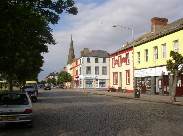


Why visit Silloth
Townapedia lists 3 museums and landmarks, 8 parks and trails, 20 places to eat, 7 places to stay and 1 attraction in and around town.
Highlights include Lees Scar Light, Toy Soldier Museum, Milefortlet 12 and Silloth on Solway Golf Club.
Weather in Silloth
Forecast from MET Norway (CC BY 4.0). Full forecast
About Silloth
Silloth, or Silloth-on-Solway, is a port town and civil parish in the Cumberland district of Cumbria, England. The town stands on the coast of the Solway Firth, 18 miles (29 km) west of Carlisle. It was developed from the 1850s onwards around a new harbour, and also became a small seaside resort. At the 2021 census, the parish had a population of 2,749.
From the Wikipedia article Silloth (this version), under CC BY-SA 4.0.
Things to do1

Museums and landmarks3


Milefortlet 12
Monument and historic site · 0.8 mi
Milefortlet of the Roman Cumbrian Coast defences, in Silloth-on-Solway, Allerdale, England, UK
Milefortlet 9
Monument and historic site · 1.9 mi
Milefortlet of the Roman Cumbrian Coast defences
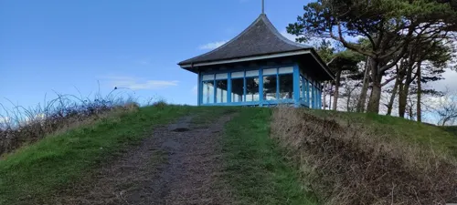
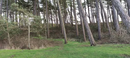
Parks, trails and playgrounds8



Restaurants and cafes20
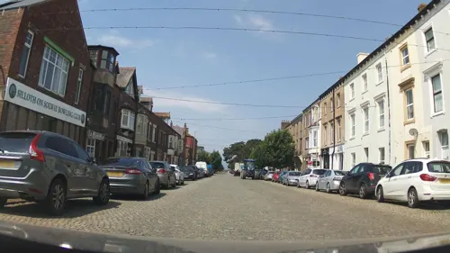
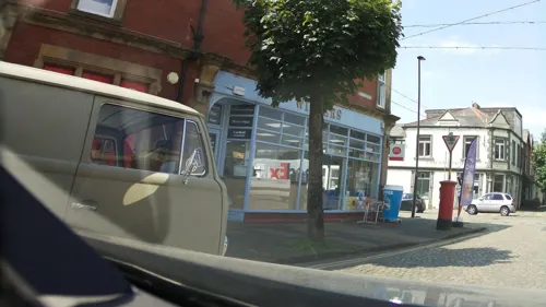
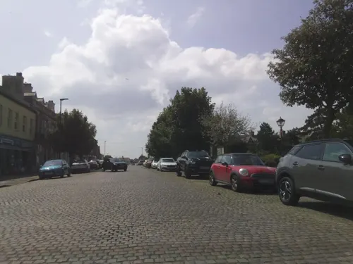
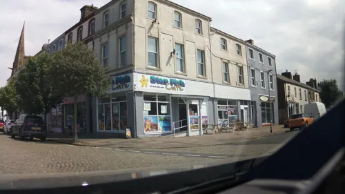
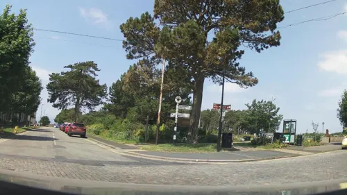
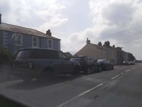


8 more on the map.
History
Silloth was only a small hamlet until the mid-19th century. The modern town owes its existence to new docks and a railway which were both built in the 1850s. Port Carlisle had been the main port for Carlisle, but its harbour was silting up and it was difficult for ships to reach at low tides. Silloth was chosen as a suitable location for a new harbour. The Carlisle and Silloth Bay Railway was therefore built, opening to Silloth railway station in 1856, and the new harbour was built shortly afterwards. The town was laid out to provide homes for the workers on the railway and at the port, but from early on it also became a minor seaside resort.
The town offered workers from the factories of Carlisle access to the seaside, and the town flourished, particularly as a destination for day trippers. The town's popularity as a resort peaked in the late 19th and early 20th centuries.
Read more of the history
RAF Silloth was an airfield on the eastern side of the town. It opened in June 1939, just before the start of the Second World War, and closed on 31 December 1960. Originally designed to be used by RAF Maintenance Command, 22MU, the airfield was handed over to Coastal Command during November 1939. No 1 Operational Training Unit (OTU) was then responsible for training pilots and crews from the UK and Allied Countries. Therefore, the aerodrome had twin responsibilities, the maintenance and repair of planes for use in the war effort and the training of crews from allied countries to fly planes.
From the History section of Silloth on Wikipedia, under CC BY-SA 4.0.
More about Silloth
Arts and culture
Tourism is a major contributor to the economy in Silloth, with dozens of large and small static and touring caravan parks located within a ten-mile (15-kilometre) radius of the town centre, resulting in a large increase in the population during the summer months.
Silloth hosts several small annual events held on the town green. These include a beer festival held in September, plus a steam rally, kite and food festivals.
From the Wikipedia article Silloth, under CC BY-SA 4.0.
Notable people from Silloth
 Cecil LeitchAmateur golfer (1891-1977)Photo: Agence Rol. Agence photographique..., Public domain
- Jim BroughEnglish rugby union and association footballer, and rugby league footballer, and coach (1903-1986)
- Dai ReesBritish biochemist, science administrator
- Gabriel HebertEnglish monk and liturgist (1886–1963)
Born in Silloth, according to Wikidata (CC0). Each name links to its Wikipedia article.
Where to stay7
Churches and places of worship7
Shopping3
Schools, colleges and libraries2
Healthcare1
Map of Silloth
52 places. The map loads OpenStreetMap tiles when you open it.
Getting there and nearby towns
Carlisle Lake District Airport (CAX) is the nearest airport with scheduled flights listed in OpenStreetMap, 24 miles away.
- Aspatria 7 mi south, about 12 min by car
- Dearham 11 mi south, about 18 min by car
- Burgh by Sands 14 mi east, about 22 min by car
- Dalston 16 mi east, about 26 min by car
- Dumfries 17 mi northwest, about 27 min by car
- Workington 17 mi south, about 27 min by car
- Carlisle 18 mi east, about 29 min by car
- Scotby 20 mi east, about 33 min by car
- Great Corby 22 mi east, about 36 min by car
- Whitehaven 23 mi south, about 38 min by car
Drive times are estimates from straight-line distance, not routes.
Towns near Silloth


Keep exploring
Local news
Headlines from INDB.
Reviews, tips and questions
Loading what members have shared...
Sources and licences
- GeoNames (CC BY 4.0): population, coordinates, regions and time zone
- Mapillary (see each image): photos
- OpenStreetMap contributors (ODbL 1.0): places, airports, map data
- Wikidata (CC0 1.0): elevation, founding date, time zone, website, landmarks and historic places
- Wikimedia Commons (see each image): photos
- Wikipedia (CC BY-SA 4.0): overview and history text
Photo credits
- Criffel Street, Silloth, Humphrey Bolton, CC BY-SA 2.0
- 2012 Chrysler Delta SE Multijet, Calreyn88, CC BY-SA 4.0
- 2005 Daihatsu Charade SL, Calreyn88, CC BY-SA 4.0
- 2002 LDV Convoy 3.5T 90 Dropside LWB, Calreyn88, CC BY-SA 4.0
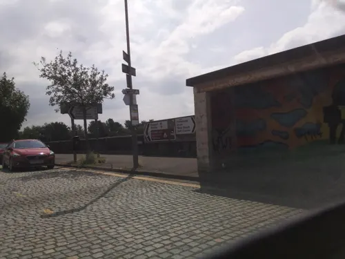
- Street-level photo, southglos, CC BY-SA 4.0
- Street-level photo, southglos, CC BY-SA 4.0
- Street-level photo, jethro10, CC BY-SA 4.0
- Street-level photo, southglos, CC BY-SA 4.0
- Street-level photo, southglos, CC BY-SA 4.0
- Street-level photo, southglos, CC BY-SA 4.0
- Street-level photo, southglos, CC BY-SA 4.0
- Street-level photo, southglos, CC BY-SA 4.0
- Street-level photo, southglos, CC BY-SA 4.0
- Street-level photo, southglos, CC BY-SA 4.0
- Street-level photo, southglos, CC BY-SA 4.0
- Street-level photo, southglos, CC BY-SA 4.0
- Street-level photo, southglos, CC BY-SA 4.0
- Street-level photo, southglos, CC BY-SA 4.0
- Street-level photo, southglos, CC BY-SA 4.0
- Street-level photo, southglos, CC BY-SA 4.0
- Street-level photo, southglos, CC BY-SA 4.0
- Street-level photo, southglos, CC BY-SA 4.0
- Street-level photo, southglos, CC BY-SA 4.0
- Street-level photo, jethro10, CC BY-SA 4.0
- Street-level photo, jethro10, CC BY-SA 4.0
- Street-level photo, southglos, CC BY-SA 4.0
- Street-level photo, southglos, CC BY-SA 4.0
Page built November 10, 2026. Spotted a mistake? Tell us or suggest a place.