
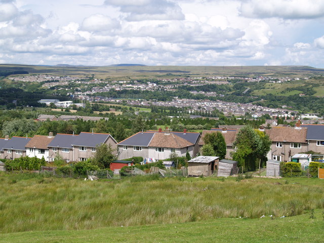


Ebbw Vale, United Kingdom
Ebbw Vale is a town of 33,068 people in Wales, United Kingdom.
Why visit Ebbw Vale
Townapedia lists 4 museums and landmarks, 4 parks and trails, 26 places to eat, 2 places to stay and 5 attractions in and around town.
Highlights include Beaufort Theatre, The Beaufort Theatre, Ebbw Vale Works Museum and Nantyglo Round Towers.
Weather in Ebbw Vale
Forecast from MET Norway (CC BY 4.0). Full forecast
About Ebbw Vale
Ebbw Vale (; Welsh: Glynebwy) is a town at the head of the valley formed by the Ebbw Fawr tributary of the Ebbw River in Wales. It is the largest town and the administrative centre of Blaenau Gwent county borough. The Ebbw Vale and Brynmawr conurbation has a population of roughly 33,000. It has direct access to the dualled A465 Heads of the Valleys trunk road and borders the Brecon Beacons National Park.
From the Wikipedia article Ebbw Vale (this version), under CC BY-SA 4.0.
Travel tips from other travellers: Ebbw Vale on Wikivoyage (CC BY-SA 4.0).
Things to do5
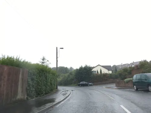
Beaufort Theatre
Cinema and theater · 1.5 mi
Theatre in Blaenau Gwent, Wales
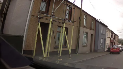

Museums and landmarks4
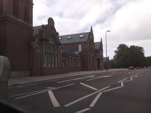

Ebbw Vale Civic War Memorial
Monument and historic site · 0.4 mi
Libanus Road, Ebbw Vale
Parks, trails and playgrounds4




Restaurants and cafes26
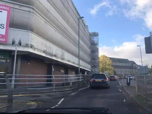
Doniya
Restaurant · Indian
6 Market Square, Ebbw Vale
Mo-Th 17:00-22:30; Fr-Sa 17:00-23:00; Su 17:00-22:30
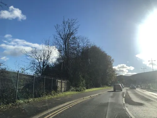
Presso Cafe Grill
Cafe · Breakfast, Coffee Shop
17 Market Street, Ebbw Vale
Mo-Th 09:00-15:30; Fr 08:30-15:30; Sa 09:00-15:30; Su 10:00-15:00
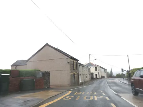
Cendl Inn
Bar and pub · 1.5 mi
Beaufort Hill, Beaufort
Mo-Th 16:00-24:00; Fr 14:00-24:00; Sa 12:00-24:00; Su 12:00-22:30

The Railway Tavern
Bar and pub · 1.5 mi
Dukestown Road, Tredegar
Mo off; Tu off; We-Th 17:00-23:00; Fr 13:00-15:30; Sa 17:00-23:00;...

The Picture House
Bar and pub
Bethcar Street, Ebbw Vale
Mo-Th 08:00-24:00; Fr-Sa 08:00-25:00; Su 08:00-24:00

Boom Indian Street Food
Restaurant · Indian
23 Bethcar Street, Ebbw Vale
Mo-Th 10:00-18:00; Fr-Su 10:00-22:00
The Welfare
Bar and pub · 0.5 mi
Steel Works Road, Ebbw Vale
Mo Off; Tu Off; We Off; Th-Fr 17:00-23:00; Sa 14:00-23:00; Su 12:00-23:00
14 more on the map.
More about Ebbw Vale
Education
Ebbw Vale currently is host to a selection of primary schools and infant schools, two secondary schools (Ebbw Fawr Learning Community and Brynmawr Foundation School) both covering a large catchment area. Penycwm Special School is also located in Ebbw Vale, in a joint building with the primary phase of Ebbw Vale Learning Community. Alongside this there is also the Ebbw Vale campus of Coleg Gwent, a Further Education college teaching a range of subjects from Mechanics, Media Studies, Humanities to Hairdressing and Beauty therapy. There is also an institute which provides a range of courses for mainly adult learners.
A new Coleg Gwent building was opened in 2012 alongside Wales' first 3–16 educational establishment titled the Ebbw Fawr Learning Community, a £52m investment. This has resulted in the closure of both Glyncoed Comprehensive School and Ebbw Vale Comprehensive School along with Pontygof Primary School, which now functions as a Pupil Referral Unit for behaviourally challenged students, and Briery Hill Primary School.
From the Wikipedia article Ebbw Vale, under CC BY-SA 4.0.
Notable people from Ebbw Vale
 Nicky GristBritish rally co- driverPhoto: Silverbackmedia, CC BY-SA 3.0
 Huw BennettWelsh rugby union footballer and coachPhoto: National Assembly for Wales from Wales, CC BY 2.0
 Nathan WyburnWelsh artistPhoto: Christian Stone, CC BY-SA 4.0
 David GarnerWelsh installation artist (born 1958)Photo: Limoges01, CC BY-SA 4.0
 Robert AckermanWelsh rugby union footballer and coach, and rugby league footballerPhoto: Oliver.mcclure, CC BY-SA 3.0
- Jackson PageWelsh snooker player
- Jeff BanksBritish fashion designer
- Brian HibbardBritish actor (1946-2012)
- Thomas RichardsWelsh trade unionist and politician (1859-1931)
- Philip SuttonWelsh badminton player
- Dai DaviesBritish politician (born 1959)
- Edward WilliamsUK politician, born 1890
Born in Ebbw Vale, according to Wikidata (CC0). Each name links to its Wikipedia article.
Where to stay2
Churches and places of worship12
Shopping8
Gas and EV charging2
Schools, colleges and libraries12
Healthcare2
Map of Ebbw Vale
77 places. The map loads OpenStreetMap tiles when you open it.
Getting there and nearby towns
Cardiff Airport (CWL) is the nearest airport with scheduled flights listed in OpenStreetMap, 27 miles away.
- Tredegar 2 mi west, about 3 min by car
- Merthyr Tydfil 8 mi west, about 12 min by car
- Gelligaer 8 mi south, about 13 min by car
- Pontypool 9 mi southeast, about 14 min by car
- Treharris 9 mi southwest, about 14 min by car
- Nelson 9 mi south, about 15 min by car
- Mountain Ash 10 mi southwest, about 16 min by car
- Rhondda 13 mi southwest, about 21 min by car
- Risca 13 mi south, about 20 min by car
- Pontypridd 13 mi southwest, about 22 min by car
Drive times are estimates from straight-line distance, not routes.
Towns near Ebbw Vale


Keep exploring
Local news
Headlines from INDB.
Reviews, tips and questions
Loading what members have shared...
Sources and licences
- GeoNames (CC BY 4.0): population, coordinates, regions and time zone
- Mapillary (see each image): photos
- OpenStreetMap contributors (ODbL 1.0): places, airports, map data
- Wikidata (CC0 1.0): elevation, founding date, time zone, website, landmarks and historic places
- Wikimedia Commons (see each image): photos
- Wikipedia (CC BY-SA 4.0): overview and history text
Photo credits
- Ebbw Vale-panorama, andy dolman, CC BY-SA 2.0
- Bethcar St, Ebbw Vale, Unknown author, Public domain
- Bethcar Street, Ebbw Vale, Unknown author, Public domain
- Bank & Armoury Terrace, Ebbw Vale, Unknown author, Public domain
- Street-level photo, laye, CC BY-SA 4.0
- Street-level photo, laye, CC BY-SA 4.0
- Street-level photo, laye, CC BY-SA 4.0
- Street-level photo, laye, CC BY-SA 4.0
- Street-level photo, laye, CC BY-SA 4.0
- Street-level photo, laye, CC BY-SA 4.0
- Street-level photo, southglos, CC BY-SA 4.0
- Street-level photo, southglos, CC BY-SA 4.0
- Street-level photo, laye, CC BY-SA 4.0
- Street-level photo, southglos, CC BY-SA 4.0
- Street-level photo, southglos, CC BY-SA 4.0
- Street-level photo, southglos, CC BY-SA 4.0
Page built November 10, 2026. Spotted a mistake? Tell us or suggest a place.