


Why visit Elstead
Townapedia lists 11 museums and landmarks, 22 parks and trails, 13 places to eat, 3 places to stay and 4 attractions in and around town.
Highlights include Godalming Museum, Phillips Memorial Cloister, Thundry Meadows and Aldershot Park.
Weather in Elstead
Forecast from MET Norway (CC BY 4.0). Full forecast
About Elstead
Elstead is a civil parish in Surrey, England with shops, houses and cottages spanning the north and south sides of the River Wey; development is concentrated on two roads that meet at a central green. It includes Pot Common its southern neighbourhood. Hamlets in the parish, marginally separated from the village centre, are Charleshill and Elstead Common, both rich in woodland. Elstead lies between Farnham and Godalming on the B3001 road about 2.2 miles (3.6 km) west of the A3 Milford interchange.
From the Wikipedia article Elstead (this version), under CC BY-SA 4.0.
Photos of Elstead


Things to do4

Museums and landmarks11

Godalming Museum
Museum · 3.9 mi
Museum in Godalming, Surrey, England, United Kingdom

Phillips Memorial Cloister
Monument and historic site · 3.9 mi
Memorial in Godalming, Waverley, Surrey, England, UK

Rural Life Living Museum
Museum · 2.9 mi
Open air museum of rural life near Farnham in Surrey, United Kingdom



Parks, trails and playgrounds22



Rodborough Common, Surrey
Park · 2.1 mi
Local Nature Reserve in Surrey, England

Hankley Common Golf Club
Golf course · 1.8 mi
18 hole Par 71
Open in Google Maps · +44 1252 797717;+44 1252 793761;+44 1252 7924 93

10 more on the map.
Restaurants and cafes13

The Mill at Elstead
Bar and pub
Farnham Road, Godalming
Mo-Th 11:00-22:00; Fr-Sa 11:00-23:00; Su 11:00-21:00
Tilford Shop and Tea Room
Cafe · 2.0 mi
Tilford Street, Farnham
Mo-Sa 07:00-21:00; Su 08:00-20:00


1 more on the map.
History
Elstead's relative prosperity over the centuries can be partly attributed to the existence of the availability of a site for a watermill and a bridge over the river; parts of the bridge are dated to around 1300.
The first known reference to Elstead is in the 1128 foundation charter for Waverley Abbey (sometimes spelt Waverly), where it was called Helestede. The church of St James was built around ten years later. It still contains 13th-century windows and some 14th-century timbers and is a Grade II* listed building.
In the 14th century, the Scheduled ancient monument bridge was built over the River Wey. Today this old bridge, strengthened by Surrey County Council in 1993, takes the westward traffic; eastward traffic takes the new bridge alongside.
Elstead Mill, now a pub restaurant, was occupied by Oliver Cromwell's ‘roundhead’ army during the English Civil War but subsequently burnt down. The present structure is described in its listing as being the result of several re-buildings from the 16th century.
There were two other pub restaurants in 2021, The Woolpack and The Golden Fleece, reflecting the early dependence on the local wool trade, also in 2021 three cafe's and a fish & chip shop.
Read more of the history
During the 18th and 19th centuries, Elstead was known for the quality and quantity of carrots grown there, with daily shipments by train from nearby Milford Station up to London's Covent Garden market during the growing season. This is attributed to the light sandy soils in the village which are excellent for carrot growing.
In 1997 a millennium oak was planted at the southern apex of the village green under the auspices of the afternoon WI.
From the History section of Elstead on Wikipedia, under CC BY-SA 4.0.
More about Elstead
Geography
Elstead is surrounded by woods and heathland, including Royal Common, Ockley Common, Elstead Common and Hankley Common, which is used by the British Army for training purposes and by others as a filming location. Much of the heathland area has environmental protection for rare birds, insects and reptiles.
Thundry Meadow, close to Elstead, is a Site of Special Scientific Interest (SSI) and is an important breeding area for the dragonfly and damselfly.
The area around the village has several large farms and much of the land is used for grazing for horses and cattle.
Elstead is within the Green Belt and is in an Area of Outstanding Natural Beauty. It is a popular destination for walkers and cyclists.
The western hamlet Charleshill, is on the opposite (left) bank of the River Wey on the B3001 to Farnham, half of the hamlet being in Tilford. Its public house is The Donkey originally called The Half-way House. The pub was converted from two small cottages in 1850, which at that time were owned by Farnham United Brewery. It acquired the nickname of "The Donkey", as before the days of motor traffic, donkeys were kept tethered outside the Inn to help horses and carts up the hill; it officially became named this in 1947.
Education
St James is a nursery and primary school and was rated by Ofsted in 2024 as "Good".
Huckleberries is a forest school set up in 2020 to help children who are having difficulties at home or at school; features include arts and crafts, music, and animals and birds.
From the Wikipedia article Elstead, under CC BY-SA 4.0.
Notable people from Elstead
 Toby RobertsBritish rock climberPhoto: Sandro Halank , Wikimedia Commons, CC BY-SA 4.0
- Mike Hickmanassociation football player
Born in Elstead, according to Wikidata (CC0). Each name links to its Wikipedia article.
Where to stay3
Churches and places of worship8
Schools, colleges and libraries4
Healthcare1
Map of Elstead
66 places. The map loads OpenStreetMap tiles when you open it.
Getting there and nearby towns
Farnborough Airport (FAB) is the nearest airport with scheduled flights listed in OpenStreetMap, 7 miles away.
- Godalming 4 mi east, about 6 min by car
- Wormley 4 mi southeast, about 7 min by car
- Farnham 5 mi northwest, about 7 min by car
- Aldershot 5 mi northwest, about 8 min by car
- Churt 5 mi southwest, about 7 min by car
- Rowledge 5 mi west, about 8 min by car
- Normandy 5 mi north, about 8 min by car
- Grayshott 5 mi south, about 9 min by car
- Wood Street Village 5 mi northeast, about 9 min by car
- Guildford 7 mi northeast, about 11 min by car
Drive times are estimates from straight-line distance, not routes.
Towns near Elstead


Keep exploring
Local news
Headlines from INDB.
Reviews, tips and questions
Loading what members have shared...
Sources and licences
- GeoNames (CC BY 4.0): population, coordinates, regions and time zone
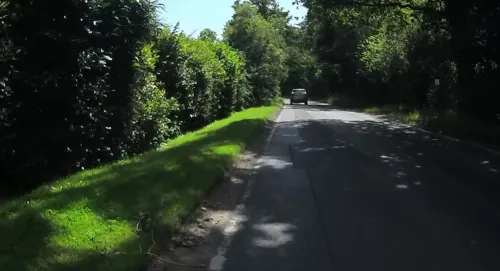
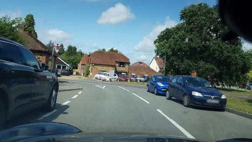
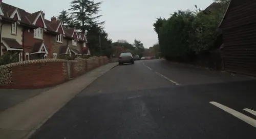
- Mapillary (see each image): photos
- OpenStreetMap contributors (ODbL 1.0): places, airports, map data
- Wikidata (CC0 1.0): elevation, founding date, time zone, website, landmarks and historic places
- Wikimedia Commons (see each image): photos
- Wikipedia (CC BY-SA 4.0): overview and history text
Photo credits
- Elstead Mill DSC 2398, Ainslie, CC BY-SA 3.0
- House in Elstead, Surrey, Simon Burchell, CC BY-SA 4.0
- Elstead Bridge 02, Simon Burchell, CC BY-SA 4.0
- Elstead Bridge 01, Simon Burchell, CC BY-SA 4.0
- St. James' Church, Elstead 12, Simon Burchell, CC BY-SA 4.0
- Elstead Marathon 2014 from the bridge, SovalValtos, CC BY 4.0
- British Legion Clubhouse Elstead, Switchwitch2007, CC BY-SA 4.0
- Elstead Bridge 04, Simon Burchell, CC BY-SA 4.0
- Elstead Bridge 03, Simon Burchell, CC BY-SA 4.0
- The Golden Fleece, Elstead, Simon Burchell, CC BY-SA 4.0
- Forge Cottage - Elstead, Switchwitch2007, CC BY-SA 4.0
- Elstead Bridge, BabelStone, CC BY-SA 3.0
- Elstead Bridge DSC 1620, Ainslie, CC BY-SA 3.0
- Apple Tree Cottage Elstead, Switchwitch2007, CC BY-SA 4.0
- Bradley Wiggins in the Peleton in Elstead (9856621265), Paul Dunleavy from Elstead, UK, CC BY 2.0
- Elstead Bridge 06, Simon Burchell, CC BY-SA 4.0
- The Little Barn Cafe, Elstead, Simon Burchell, CC BY-SA 4.0
- Little Barn Cafe and British Legion Clubhouse, Elstead, Simon Burchell, CC BY-SA 4.0
- Jack Phillip's Memorial, Godalming, Nigel Cox, CC BY-SA 2.0
- Tilford Rural Life Centre 88, Simon Burchell, CC BY-SA 3.0
- Crooksbury Hill triangulation point, BabelStone, CC BY-SA 4.0
- Farncombe Wood (2), Dudley Miles, CC BY-SA 4.0
- Middlebriars Wood (5), Dudley Miles, CC BY-SA 4.0
- Compton, Surrey. Church of St. Nicholas DSC 2785 edited-1, Ainslie, CC BY-SA 3.0
- St Peter and St Paul's Church, Church Street, Godalming (April 2015) (2), Hassocks5489, CC0
- St Edmund King and Martyr's Church, Croft Road, Godalming (April 2015) (3), Hassocks5489, CC0
- Elstead Mill DSC 1627, Ainslie, CC BY-SA 3.0
- From the Northwest, showing the older side DSC 1552, Ainslie, CC BY-SA 3.0
- St. Nicholas' Church, Peper Harow 89, Simon Burchell, CC BY-SA 4.0
- All Saints Church, Tilford Road, Tilford (June 2015) (5), Hassocks5489, CC0
- Rodsall Manor, Puttenham 02, Simon Burchell, CC BY-SA 4.0
- مسجد مبارک، اسلام آباد, HolyArtThou, CC BY 4.0
- Godalming Museum, 107-109 High Street, Godalming, Surrey, Mertbiol, CC0
- Aldershot Park Signage, Jack1956, CC0
- The Atlantic Wall, Hankley Common 32, Simon Burchell, CC BY-SA 4.0
- Thundry Meadows 3, Dudley Miles, CC BY-SA 4.0
- Street-level photo, richardc, CC BY-SA 4.0
- Street-level photo, richardc, CC BY-SA 4.0
- Street-level photo, jpennycook, CC BY-SA 4.0
- Street-level photo, richardc, CC BY-SA 4.0
- Street-level photo, richardc, CC BY-SA 4.0
- Street-level photo, jpennycook, CC BY-SA 4.0
- Street-level photo, jpennycook, CC BY-SA 4.0
- Street-level photo, richardc, CC BY-SA 4.0
- Street-level photo, richardc, CC BY-SA 4.0


Page built November 10, 2026. Spotted a mistake? Tell us or suggest a place.