


Grayshott, United Kingdom
Grayshott is a town of 2,413 people in England, United Kingdom.
Why visit Grayshott
Townapedia lists 6 museums and landmarks, 6 parks and trails, 11 places to eat, 1 place to stay and 2 attractions in and around town.
Highlights include Haslemere Educational Museum, Hindhead Commons and the Devil's Punch Bowl, Lynchmere Commons and The Flashes.
Weather in Grayshott
Forecast from MET Norway (CC BY 4.0). Full forecast
About Grayshott
Grayshott is a village and civil parish in the East Hampshire district of Hampshire, England. It is on the Hampshire / Surrey border 4 miles (6.4 km) northwest of Haslemere by road, and 46 miles (74 km) southwest of central London. The nearest rail link is Haslemere railway station.
From the Wikipedia article Grayshott (this version), under CC BY-SA 4.0.
Photos of Grayshott

Things to do2


Museums and landmarks6
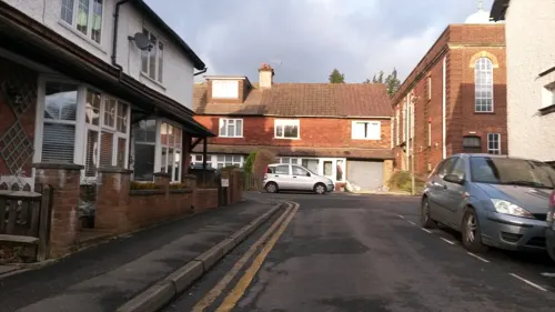
Haslemere Educational Museum
Museum · 2.2 mi
Geology, natural and human history museum, United Kingdom
Hyde Park Court
Monument and historic site · 1.5 mi
Godalming 7 miles; Liphook 5 miles

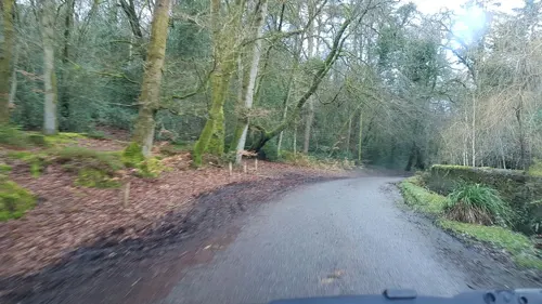

Hindhead Commons and the Devil's Punch Bowl
Monument and historic site · 1.0 mi
London Road, Hindhead
The Sailor's Stone
Monument and historic site · 1.4 mi
In dedication of a barberous murder committed here on an unknown sailor on September 24, 1786
Parks, trails and playgrounds6



Restaurants and cafes11
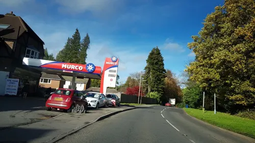

Cafe Twenty5
Cafe · Cake, Coffee Shop · 0.8 mi
25 London Road
We-Mo 09:00-15:00
Devil's Punch Bowl Café
Cafe · 1.0 mi
National Trust Car Park, Hindhead
10:00-16:00



History
The earliest reference to Grayshott found by Jack Hayden Smith, a Grayshott inhabitant and local historian, is in Winchester Bishopric records as Gravesetta (1185) and Graveschete (1200). In 1533 it was called Graveshotte, and the named changed to its current spelling probably in the 18th century. J H Smith's book was republished in 2002 by John Owen Smith. A detailed survey of the area made in the reign of Edward VI (1547–53) used the name Graueshot and describes large areas of "waste". The shott suffix in local names refers to springs flowing from the sandstone rock strata.
The village is mentioned in the Headley Parish Register of 1564 as Grashott, and as Grayshott in 1584. At this time the name applied to a hamlet about a mile to the west of the present village; the latter, apart from a few isolated dwellings, did not begin to develop until the 19th century when wealthy incomers began to settle there and encourage development. Previously, the area had a reputation for lawlessness.
At the earliest census, 1841, Grayshott had 114 inhabitants, increasing gradually over the rest of the century and then more than doubling between 1891 (238) and 1901 (666). This was the result of the growing popularity of the Hindhead area's healthy climate, the accessibility afforded by the railway coming to Haslemere in 1859 and the subsequent rise in trade to accommodate this popularity.
Read more of the history
Two notable murders took place in the early 20th century. In 1901, postmaster Walter Chapman stabbed to death his wife Emily and was found guilty but insane and committed to Broadmoor Hospital. In 1915 Lieutenant Codere murdered Sergeant Ozanne (both of the Canadian Rifles stationed at Bramshott Camp) at Codere's billet in Crossways Road. Codere was found guilty and sentenced to hang, but the sentence was later commuted to life imprisonment on the grounds of insanity.
From the History section of Grayshott on Wikipedia, under CC BY-SA 4.0.
Notable people from Grayshott
 Colin FirthEnglish actor and producerPhoto: Gage Skidmore from Peoria, AZ,..., CC BY-SA 2.0
Born in Grayshott, according to Wikidata (CC0). Each name links to its Wikipedia article.
Where to stay1
Churches and places of worship6
Shopping2
Gas and EV charging2
Schools, colleges and libraries9
Map of Grayshott
45 places. The map loads OpenStreetMap tiles when you open it.
Getting there and nearby towns
Farnborough Airport (FAB) is the nearest airport with scheduled flights listed in OpenStreetMap, 11 miles away.
- Haslemere 2 mi southeast, about 4 min by car
- Churt 2 mi northwest, about 3 min by car
- Bordon 5 mi west, about 8 min by car
- Fernhurst 5 mi south, about 7 min by car
- Wormley 5 mi east, about 8 min by car
- Chiddingfold 6 mi east, about 9 min by car
- Rowledge 6 mi northwest, about 10 min by car
- Farnham 7 mi north, about 12 min by car
- Rake 7 mi southwest, about 11 min by car
- Godalming 8 mi northeast, about 13 min by car
Drive times are estimates from straight-line distance, not routes.
Towns near Grayshott


Keep exploring
Local news
Headlines from INDB.
Reviews, tips and questions
Loading what members have shared...
Sources and licences
- GeoNames (CC BY 4.0): population, coordinates, regions and time zone
- Mapillary (see each image): photos
- OpenStreetMap contributors (ODbL 1.0): places, airports, map data
- Wikidata (CC0 1.0): elevation, founding date, time zone, website, landmarks and historic places
- Wikimedia Commons (see each image): photos
- Wikipedia (CC BY-SA 4.0): overview and history text
Photo credits
- The Square, Grayshott 20190615 120925, Dcs57, CC BY-SA 4.0
- All Saints Church, Grayswood Road, Grayswood (June 2015) (8), Hassocks5489, CC0
- St Eds Back, PSCAVC, CC BY-SA 4.0
- St Joseph's Church, Headley Road, Grayshott (NHLE Code 1179394) (May 2021) (5), Hassocks5489, CC0
- St Alban's Church, Tilford Road, Hindhead (June 2015) (3), Hassocks5489, CC0
- St Luke's Church, Headley Road, Grayshott (NHLE Code 1338981) (May 2021) (2), Hassocks5489, CC0
- The Fox and The Pelican 20190615 120509, Dcs57, CC BY-SA 4.0
- Devil's Punch Bowl A3 Portsmouth Road, Arriva436, CC BY-SA 3.0
- Celtic Cross on Gibbet Hill, Surrey - May 2025 - 03, Mertbiol, CC0
- Street-level photo, helenst, CC BY-SA 4.0
- Street-level photo, richardc, CC BY-SA 4.0
- Street-level photo, richardc, CC BY-SA 4.0
- Street-level photo, richardc, CC BY-SA 4.0
- Street-level photo, richardc, CC BY-SA 4.0
- Street-level photo, tallguy, CC BY-SA 4.0
- Street-level photo, richardc, CC BY-SA 4.0
Page built November 10, 2026. Spotted a mistake? Tell us or suggest a place.