


Fairlands, United Kingdom
Fairlands is a town of 1,412 people in England, United Kingdom.
Why visit Fairlands
Townapedia lists 9 museums and landmarks, 22 parks and trails, 22 places to eat, 1 place to stay and 8 attractions in and around town.
Highlights include Electric Theatre, Yvonne Arnaud Theatre, Guildford Castle and Guildford House.
Weather in Fairlands
Forecast from MET Norway (CC BY 4.0). Full forecast
About Fairlands
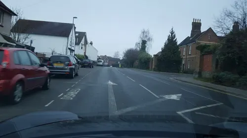
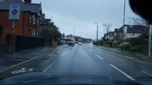
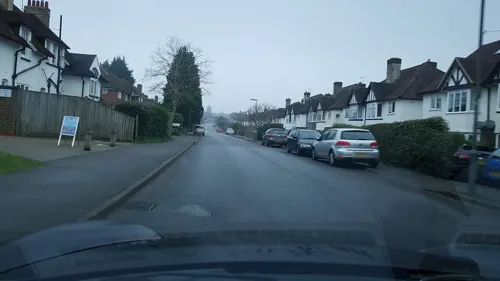
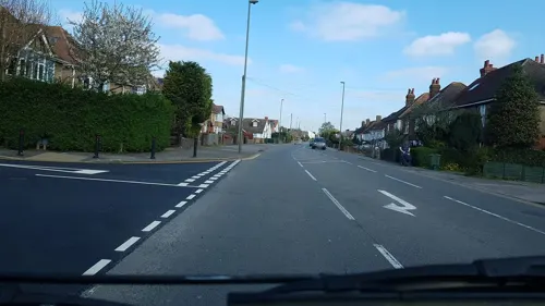
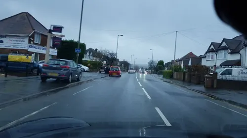
Fairlands is the largest settlement in the civil parish of Worplesdon in the Borough of Guildford, Surrey, England. The neighbourhood is centred 2.6 miles (4.2 km) north-west of Guildford, to which it is linked by a relatively straight road. The arbitrary centre of Worplesdon, a linear settlement, its church, is 1.2 miles (1.9 km) north-east.
From the Wikipedia article Fairlands (this version), under CC BY-SA 4.0.
Things to do8

Electric Theatre
Cinema and theater · 2.6 mi
Theatre in Guildford, England

Yvonne Arnaud Theatre
Cinema and theater · 2.8 mi
Theatre in Guildford, England

Museums and landmarks9

Guildford Castle
Museum · 2.9 mi
Castle in Guildford, Surrey, England, UK
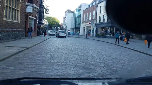
Guildford House
Museum · 2.8 mi
House in Guildford, Surrey, England, UK
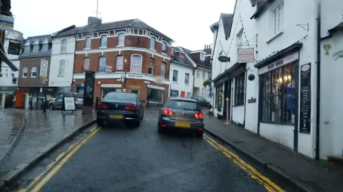
Guildford Museum
Museum · 2.8 mi
Local museum in Guildford, England, United Kingdom

Lewis Elton Gallery
Museum · 1.9 mi
Art gallery at the University of Surrey's Guildford campus

Loseley Park
Museum · 3.3 mi
Grade I listed historic house museum in Artington, United Kingdom


Parks, trails and playgrounds22


Burner's Heath and Swallows Pond
Park · 2.0 mi
Nature reserve in Pirbright in Surrey, South East England




10 more on the map.
Restaurants and cafes22
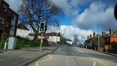
Beijing Restaurant
Restaurant · Chinese · 1.4 mi
132 Worplesdon Road, Guildford
Mo-Sa 12:00-14:30, 18:00-23:30; Su 12:00-22:00
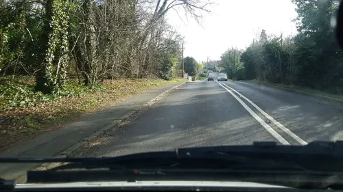
Cricketers
Bar and pub · 0.9 mi
A real ale pub that also serves meals
Aldershot Road, Guildford
12:00-23:00


10 more on the map.
History
Fairlands and Littlefields Farms, together comprising around 250 acres (100 ha), were sold for development in 1926. Plans for an estate of around 1,000 houses were approved by the borough council in December 1934 and construction began the following year. A second phase of housebuilding began in the late-1950s and Fairlands County Primary School, designed by the architect, Raymond Ash, opened in 1966. The settlement is not bisected by any main roads and continues to reject street lighting. Today 12 residential roads and closes form a clustered hamlet.
From the History section of Fairlands on Wikipedia, under CC BY-SA 4.0.
Where to stay1
Churches and places of worship17
Shopping3
Gas and EV charging3
Schools, colleges and libraries13
Healthcare6
Map of Fairlands
104 places. The map loads OpenStreetMap tiles when you open it.
Getting there and nearby towns
Farnborough Airport (FAB) is the nearest airport with scheduled flights listed in OpenStreetMap, 7 miles away.
- Wood Street Village 1 mi southwest, about 2 min by car
- Normandy 2 mi west, about 4 min by car
- Guildford 3 mi southeast, about 4 min by car
- Mayford 3 mi northeast, about 5 min by car
- Woking 5 mi northeast, about 8 min by car
- Godalming 5 mi south, about 8 min by car
- Chilworth 5 mi southeast, about 8 min by car
- Farnborough 6 mi west, about 10 min by car
- Aldershot 6 mi west, about 10 min by car
- Frimley 7 mi northwest, about 11 min by car
Drive times are estimates from straight-line distance, not routes.
Towns near Fairlands


Keep exploring
Local news
Headlines from INDB.
Reviews, tips and questions
Loading what members have shared...
Sources and licences
- GeoNames (CC BY 4.0): population, coordinates, regions and time zone
- Mapillary (see each image): photos
- OpenStreetMap contributors (ODbL 1.0): places, airports, map data
- Wikidata (CC0 1.0): elevation, founding date, time zone, website, landmarks and historic places
- Wikimedia Commons (see each image): photos
- Wikipedia (CC BY-SA 4.0): overview and history text
Photo credits
- Electric Theatre, Guildford, Weydonian ( talk ), CC BY 3.0
- Yvonne Arnaud Theatre View 2016, Jack1956, CC0
- Guildford castle 1, SuzanneKn at English Wikipedia, Public domain
- Lewis Elton Gallery, Murgatroyd49, CC BY-SA 4.0
- Loseley Park 03, Andrew Wilkinson from London, CC BY-SA 2.0
- Watts Gallery (Restored), ©Watts Gallery, CC BY-SA 3.0
- Brookwood Lye 6, Dudley Miles, CC BY-SA 4.0
- Burner's Heath and Swallows Pond 4, Dudley Miles, CC BY-SA 4.0
- Riverside Park, Guildford, view of the lake, AndyScott, CC BY-SA 4.0
- Surrey county show 20040531, SGBailey, CC BY-SA 3.0
- AllSoulsSuttonGreen, Jasontutty, CC BY-SA 3.0
- St Edward the Martyr Orthodox Church, Brookwood Cemetery, Brookwood (June 2015) (2), Hassocks5489, CC0
- Compton, Surrey. Church of St. Nicholas DSC 2785 edited-1, Ainslie, CC BY-SA 3.0
- Guildford Holy Trinity fr NE GeoUK 2639999, Paul Gillett, CC BY-SA 2.0
- St Mary's Church, Quarry Street, Guildford (April 2014) (1), Hassocks5489, CC0
- St Nicholas' Church, Bury Street, Guildford (April 2014, from Northwest) (1), Hassocks5489, CC0
- UniSSoM, Mark Boyce, CC BY-SA 3.0
- St Francis' Church, Beckingham Road, Westborough, Guildford (April 2014, from Northwest), Hassocks5489, CC0
- Emmanuel Church, Shepherds Lane, Stoughton, Guildford (April 2014, from Northwest), Hassocks5489, CC0
- St Alban's Church, Wood Street Village, Guildford (April 2014, from South-Southeast) (2), Hassocks5489, CC0
- Street-level photo, richardc, CC BY-SA 4.0
- Street-level photo, richardc, CC BY-SA 4.0
- Street-level photo, swinetown, CC BY-SA 4.0
- Street-level photo, richardc, CC BY-SA 4.0
- Street-level photo, richardc, CC BY-SA 4.0
- Street-level photo, richardc, CC BY-SA 4.0
- Street-level photo, richardc, CC BY-SA 4.0
- Street-level photo, richardc, CC BY-SA 4.0
- Street-level photo, southglos, CC BY-SA 4.0
- Street-level photo, richardc, CC BY-SA 4.0
- Street-level photo, richardc, CC BY-SA 4.0
- Street-level photo, swinetown, CC BY-SA 4.0
- Street-level photo, richardc, CC BY-SA 4.0
- Street-level photo, richardc, CC BY-SA 4.0
- Street-level photo, swinetown, CC BY-SA 4.0
- Street-level photo, richardc, CC BY-SA 4.0
- Street-level photo, richardc, CC BY-SA 4.0
- Street-level photo, southglos, CC BY-SA 4.0
- Street-level photo, richardc, CC BY-SA 4.0
- Street-level photo, richardc, CC BY-SA 4.0


Page built November 10, 2026. Spotted a mistake? Tell us or suggest a place.