


Why visit Hengoed
Townapedia lists 5 museums and landmarks, 5 parks and trails, 23 places to eat and 2 attractions in and around town.
Highlights include Blackwood Miners Welfare Institute, Hengoed Viaduct, Ystrad Mynach Park and Parc Penallta.
Weather in Hengoed
Forecast from MET Norway (CC BY 4.0). Full forecast
About Hengoed
Hengoed () is a village on the west side of the Rhymney Valley - between Ystrad Mynach to the south and Cefn Hengoed to the north. Across the valley it looks towards Maesycwmmer. The village is in the county borough of Caerphilly, in the traditional county of Glamorgan, Wales.
From the Wikipedia article Hengoed (this version), under CC BY-SA 4.0.
Things to do2
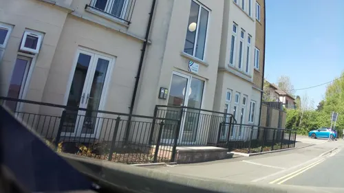
Blackwood Miners Welfare Institute
Cinema and theater · 2.0 mi
Entertainment venue in Blackwood, Caerphilly, Wales
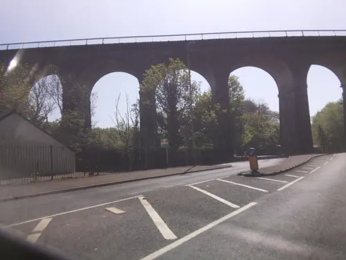
Hengoed Viaduct
Bridge · 0.4 mi
Railway viaduct in Caerphilly county borough, South Wales
Museums and landmarks5

Parks, trails and playgrounds5



Restaurants and cafes23
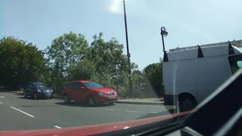
Cwm Bakery Cafe
Cafe · Coffee Shop · 0.6 mi
35-37 Bedwlwyn Road, Ystrad Mynach
Mo-Fr 08:00-16:00; Sa 09:00-14:00; Su off
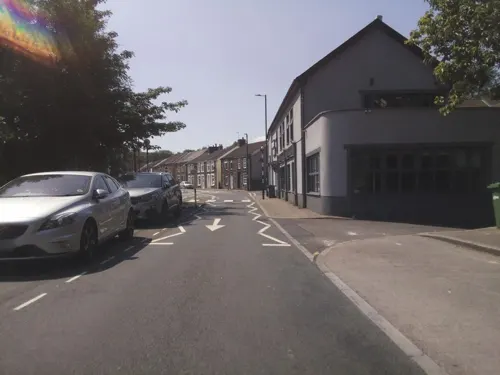
Viceroy of India
Restaurant · Indian · 0.6 mi
12-14 Penallta Road, Ystrad Mynach
Mo-Th 17:30-22:30; Fr-Sa 17:30-23:00; Su 17:30-22:30
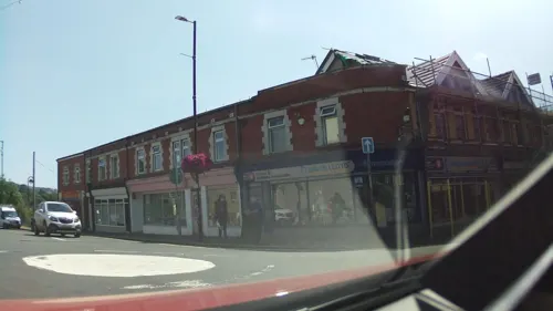
The Beech Tree
Bar and pub · 0.6 mi
43 Bedwlwyn Road, Ystrad Mynach
Mo-Th 11:00-23:00; Fr 11:00-00:00; Sa 00:00-00:30,11:00-00:00; Su...

Ye Olde Royal Oak
Bar and pub · 0.9 mi
Commercial Street, Ystrad Mynach
Mo-Sa 12:00-23:30; Su 12:00-22:30

The Majors
Bar and pub · 1.2 mi
Fair View, Pengam
Mo off; Tu off; We off; Th off; Fr-Sa 17:00-23:30; Su 13:00-23:30
11 more on the map.
More about Hengoed
Geography
Hengoed and Cefn Hengoed occupy a low plateau of Pennant Sandstone typical of much of the South Wales coalfield, between the Nant Cylla (eng. Cylla Brook) to the east and the River Rhymney to the west rising to a high point of 213 metres between the two villages.
From the Wikipedia article Hengoed, under CC BY-SA 4.0.
Notable people from Hengoed
- Daniel ParslowWelsh association football player
- Graham MooreWelsh footballer (1941-2016)
- Ray BishopWelsh footballer (born 1955)
Born in Hengoed, according to Wikidata (CC0). Each name links to its Wikipedia article.
Churches and places of worship19
Fleur De Lis Methodist Church
Church · Methodist · 0.9 mi
Gellihaf Road, Tir-yr-Berth
Ystrad Mynach Methodist Church
Church · Methodist · 0.6 mi
Lewis Street, Ystrad Mynach
Shopping6
Gas and EV charging1
Schools, colleges and libraries20
Healthcare3
Map of Hengoed
84 places. The map loads OpenStreetMap tiles when you open it.
Getting there and nearby towns
Cardiff Airport (CWL) is the nearest airport with scheduled flights listed in OpenStreetMap, 18 miles away.
- Gelligaer 1 mi northwest, about 2 min by car
- Blackwood 2 mi northeast, about 3 min by car
- Bargoed 2 mi north, about 4 min by car
- Nelson 2 mi west, about 4 min by car
- Llanbradach 3 mi south, about 5 min by car
- Treharris 3 mi west, about 5 min by car
- Abercarn 4 mi east, about 7 min by car
- Newbridge 4 mi east, about 7 min by car
- Caerphilly 5 mi south, about 9 min by car
- Pontypridd 6 mi southwest, about 9 min by car
Drive times are estimates from straight-line distance, not routes.
Towns near Hengoed


Keep exploring
Local news
Headlines from INDB.
Reviews, tips and questions
Loading what members have shared...
Sources and licences
- GeoNames (CC BY 4.0): population, coordinates, regions and time zone
- Mapillary (see each image): photos
- OpenStreetMap contributors (ODbL 1.0): places, airports, map data
- Wikidata (CC0 1.0): elevation, founding date, time zone, website, landmarks and historic places
- Wikimedia Commons (see each image): photos
- Wikipedia (CC BY-SA 4.0): overview and history text
Photo credits
- Hengoed, The Junction public house and Hengoed viaduct, phil matthews, CC BY-SA 2.0
- The College Ystrad Mynach 2012, Ystrad Mynach College, CC BY-SA 3.0
- Street-level photo, laye, CC BY-SA 4.0
- Street-level photo, southglos, CC BY-SA 4.0
- Street-level photo, southglos, CC BY-SA 4.0
- Street-level photo, southglos, CC BY-SA 4.0
- Street-level photo, southglos, CC BY-SA 4.0
- Street-level photo, southglos, CC BY-SA 4.0
- Street-level photo, southglos, CC BY-SA 4.0
- Street-level photo, southglos, CC BY-SA 4.0
- Street-level photo, southglos, CC BY-SA 4.0
- Street-level photo, southglos, CC BY-SA 4.0
- Street-level photo, southglos, CC BY-SA 4.0
- Street-level photo, southglos, CC BY-SA 4.0
- Street-level photo, southglos, CC BY-SA 4.0
- Street-level photo, southglos, CC BY-SA 4.0
- Street-level photo, southglos, CC BY-SA 4.0
- Street-level photo, southglos, CC BY-SA 4.0
- Street-level photo, southglos, CC BY-SA 4.0
- Street-level photo, southglos, CC BY-SA 4.0
Page built November 10, 2026. Spotted a mistake? Tell us or suggest a place.